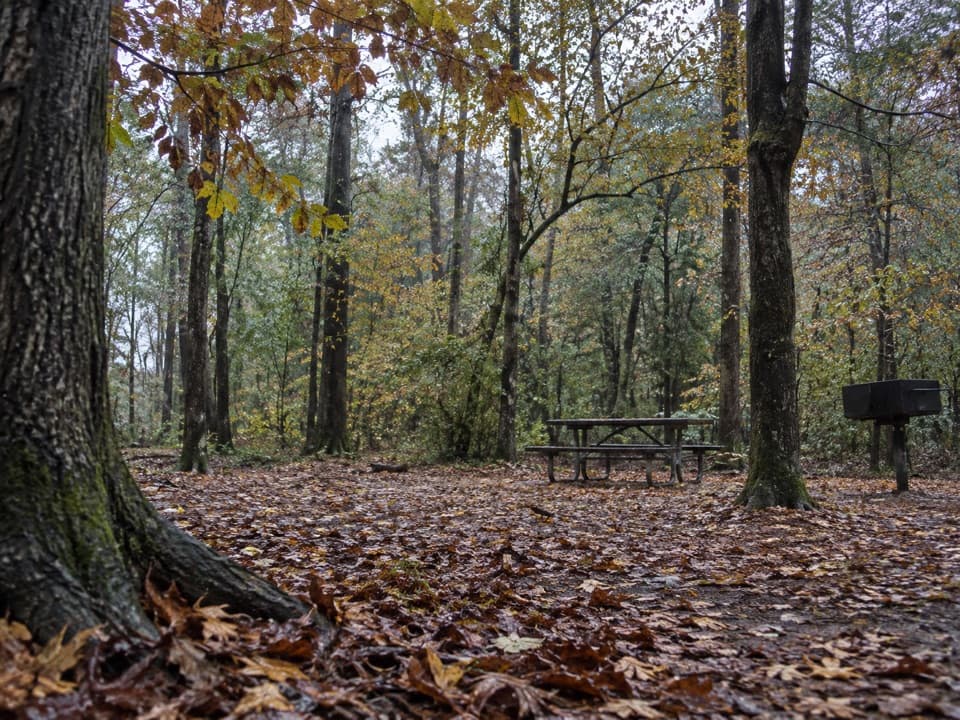
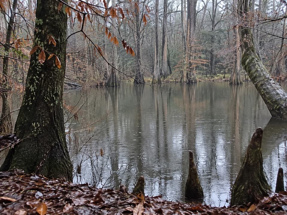
Weston Lake Overlook in Congaree National Park

#1 of 9 sights in Congaree

Sight · Congaree National Park

Weston Lake Overlook

Look for turtles beside this 2,000-year-old oxbow lake.

Type
Sight
Nearest trail
0.6 mi
Audio stories
5 nearby
  • Scenic viewpoint

Hear the audio tour

Harry Hampton Visitor Center and Boardwalk

Overview

About Weston Lake Overlook

Why stop

  • A raised view over a 2,000-year-old oxbow lake.

Heads up

  • Flooding can close low sections of the boardwalk.

Map

Where it is

Loading the Congaree map
Full map
SightWeston Lake Overlook33.82166, -80.81784
Keep this map with you offline in the Parkwolf app

Plan your stop

Before you go

2 active Congaree alerts

  • CautionDowned trees on Cedar Creek require portagesExpect significant portages on Cedar Creek between Bannister’s Bridge and South Cedar Creek because trees are down across the creek; the number of portages depends on water levels.Official details
  • CautionBackcountry trails may be difficult to followUse GPS on the Oakridge, Boggy Gut, and Kingsnake backcountry trails because they may be difficult to follow.Official details
Congaree alerts
A park ranger sits on a dash-mounted phone, talking, as Parkwolf’s Tour Guide plays “Army Cutworm Moths: A Grizzly Bear Buffet” on Grand Loop Road below Dunraven Pass in Yellowstone
Parkwolf Tour GuideThe highest, rockiest slopes around here are a summer buffet for grizzly bears.

Congaree Tour Guide

Your drive to Weston Lake Overlook, narrated.

Parkwolf is a GPS audio tour guide for Congaree National Park. As you drive, it chimes in with what’s ahead: hidden gems, upcoming stops, history, geology, and wildlife, right through your car’s speakers.

Recorded for this place

Harry Hampton Visitor Center and Boardwalk
0:00 / 0:36
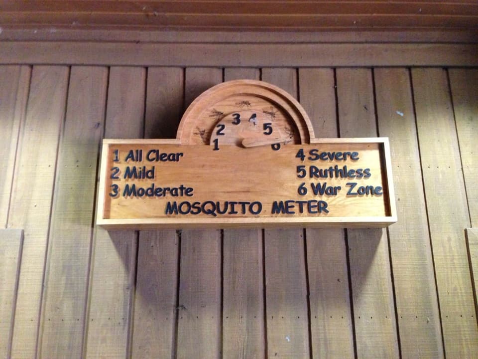
“You're approaching the Harry Hampton Visitor Center, where exhibits introduce the forest and the people who lived and worked here. Look for the wooden mosquito meter before heading out.”

Plays as you drive up to Weston Lake Overlook in the Parkwolf Congaree Tour Guide.

More stories near here in the app

  • Longleaf and Bluff Campgrounds
  • A Plant That Lives in the Air
  • South Cedar Creek Canoe Landing
  • The Pine That Starts as Grass
  • 13 audio storiesacross Congaree’s roads, triggered by GPS as you drive
  • Wildlife heatmapsfor Alligator, Wild Boar, Barred Owl, and 13 more
  • Works offlinemaps, 9 trails, 14 places, and audio download before you lose signal
  • CarPlay readysimple controls built for the drive
★★★★★
“Fantastic app with many points of information… It’s great to just turn on while you’re driving and it gives you an audio tour of the national Park. We love it!!!!”
JMJamesApp Store review
Download Parkwolf on the App StoreGet Parkwolf on Google Play

4.7 from 8,600+ ratings

Guide

More about Weston Lake Overlook

Stop 12 on the BoardwalkWeston Lake Overlook is a raised wooden platform at the edge of an oxbow lake in Congaree…

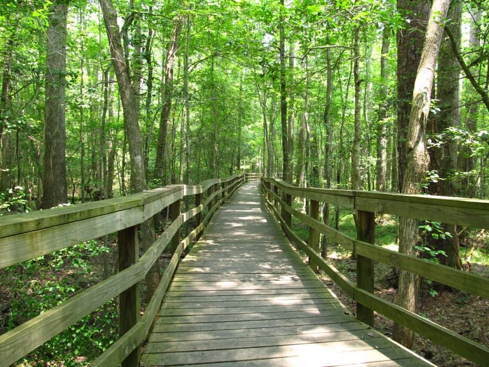
Weston Lake Overlook is a raised wooden platform at the edge of an oxbow lake in Congaree National Park. It is one of the numbered stops on the Boardwalk’s self-guided route. The full Boardwalk Trail is a 2.6-mile round trip from Harry Hampton Visitor Center; this stop is along the way, with no separate mileage listed. The easy, flat boardwalk has benches and is listed as wheelchair and stroller accessible. Restrooms and a drinking-water fountain are at the visitor center before you set out. Flooding can close low sections, so check park conditions before the walk.

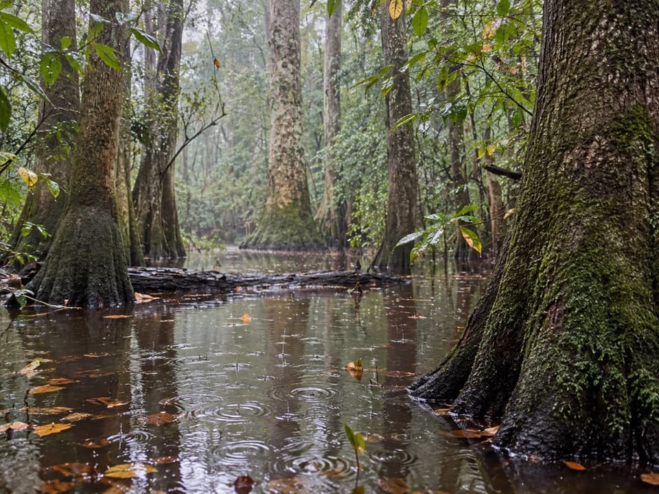
Look across the waterThe elevated platform looks over still water ringed by floodplain trees.

The elevated platform looks over still water ringed by floodplain trees. When the surface is calm, keep both the reflections and a few tree trunks in your photo; they show the broad wetland around the lake better than a tight shot of the railings.

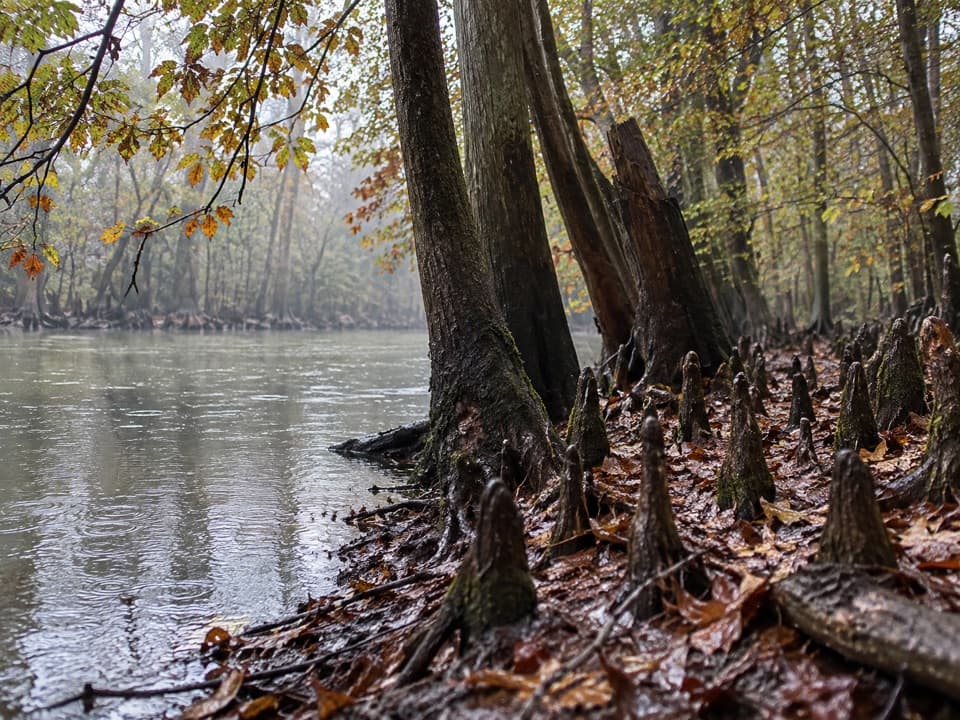
A bend left behindWeston Lake formed when the Congaree River changed course and left one of its bends behind more…

Weston Lake formed when the Congaree River changed course and left one of its bends behind more than 2,000 years ago. The river has shifted south, and clay and organic debris are slowly filling the old channel. Oxbow lakes begin when a river cuts through the narrow neck of a bend, leaving a quieter curve beside the new channel.

Scan for turtlesYellow-bellied sliders and common snapping turtles are often spotted here in warmer months.

Yellow-bellied sliders and common snapping turtles are often spotted here in warmer months. Watch the water from the platform and leave wildlife undisturbed; don’t touch or feed the turtles.

A surprisingly deep oxbowA study of sediment cores described a five-acre lake with much of its steep-sided basin more…

A study of sediment cores described a five-acre lake with much of its steep-sided basin more than 20 feet deep and a deepest point near 25 feet. It also found gravel where mud and plant matter are more typical. Artesian springs have been suggested as one possible reason sediment settles slowly, but that explanation is not settled.

Wildlife

Wildlife in Congaree

All Congaree wildlife maps

Sighting maps show where each species has been reported across Congaree. Wildlife moves, so no sighting is guaranteed.

Keep exploring

Near Weston Lake Overlook

See it all on the map

Trails nearby

More stops nearby

Parkwolf’s Congaree ranking

Top sights in Congaree

All 14 places
  1. 2General Greene TreeSight
  2. 3Wise LakeSight
  3. 4Moonshine Still (Boardwalk Stop 15)Sight
  4. 5Richland County PineSight
  5. 6Bates Ferry LandingSight
  6. 7Congaree National Park SignSight

Take Parkwolf to Congaree.

The audio tour guide for the drive, plus offline maps, trails, and wildlife heatmaps for when the signal drops.

4.7 from 8,600+ ratings

Download Parkwolf on the App StoreGet Parkwolf on Google Play