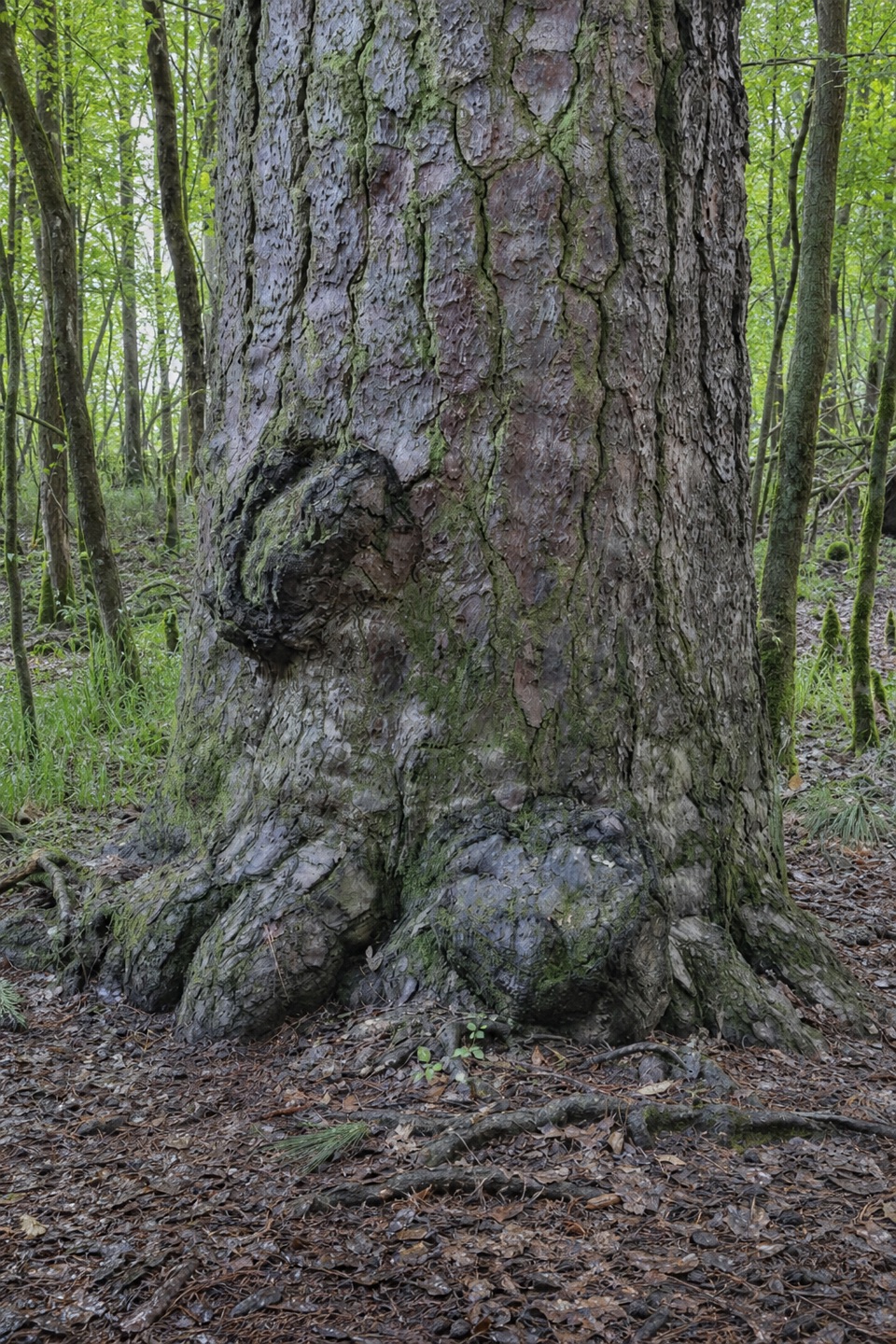
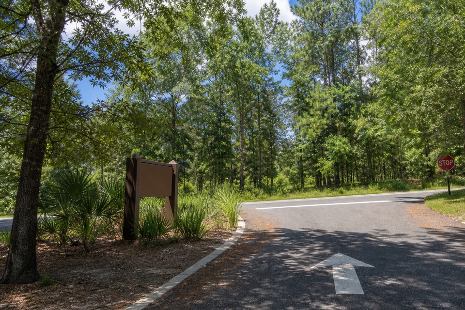
General Greene Tree in Congaree National Park

#2 of 9 sights in Congaree

Sight · Congaree National Park

General Greene Tree

An 8-foot cypress knee and a hollow tree with a Revolutionary story.

Type
Sight
Nearest trail
0.4 mi
Audio stories
3 nearby
  • Trailhead
  • Parking

Hear the audio tour

Bates Ferry and the General Greene Tree

Overview

About General Greene Tree

Why stop

  • Nearby logged stumps make the cypress-logging history visible.
  • The unusual flatbed bridge adds a distinctive moment to the approach.

Heads up

  • The rough spur is easy to miss and can flood.
General Greene Tree is a giant old baldcypress in Congaree's eastern floodplain, reached by a rough spur off Bates Ferry Trail. The huge hollow trunk and its cypress knee, about 8 feet tall, make this a worthwhile detour if you're curious about the park's old trees and ferry-road history. It's a woodland walk, not a roadside stop. The map pin is approximate; start at Bates Ferry Trailhead and follow the route cues below.
Parkwolf’s verdictA landmark worth the walk

Map

Where it is

Loading the Congaree map
Full map
SightGeneral Greene Tree33.78043, -80.64330
Keep this map with you offline in the Parkwolf app

Plan your stop

Before you go

2 active Congaree alerts

  • CautionDowned trees obstruct Cedar Creek paddling routeExpect significant portages and carry-overs of logs and other obstacles on Cedar Creek between Bannister’s Bridge and South Cedar Creek because trees are down across the creek.Official details
  • CautionNavigation hazards on backcountry trailsOakridge, Boggy Gut, and Kingsnake trails are open but may be difficult to follow in some areas; carry GPS and use caution.Official details
Congaree alerts
A park ranger sits on a dash-mounted phone, talking, as Parkwolf’s Tour Guide plays “Army Cutworm Moths: A Grizzly Bear Buffet” on Grand Loop Road below Dunraven Pass in Yellowstone
Parkwolf Tour GuideThe highest, rockiest slopes around here are a summer buffet for grizzly bears.

Congaree Tour Guide

Your drive to General Greene Tree, narrated.

Parkwolf is a GPS audio tour guide for Congaree National Park. As you drive, it chimes in with what’s ahead: hidden gems, upcoming stops, history, geology, and wildlife, right through your car’s speakers.

Recorded for this place

Bates Ferry and the General Greene Tree
0:00 / 0:30
“You're coming up on Bates Ferry Trailhead, the walking access for the General Greene Tree. Follow the old road for about four tenths of a mile, then take the tree spur across the flatbed trailer bridge.”

Plays as you drive up to General Greene Tree in the Parkwolf Congaree Tour Guide.

More stories near here in the app

  • Fork Swamp Trail
  • Bates Bridge Landing
  • 13 audio storiesacross Congaree’s roads, triggered by GPS as you drive
  • Wildlife heatmapsfor Alligator, Wild Boar, Barred Owl, and 13 more
  • Works offlinemaps, 9 trails, 14 places, and audio download before you lose signal
  • CarPlay readysimple controls built for the drive
★★★★★
“Fantastic app with many points of information… It’s great to just turn on while you’re driving and it gives you an audio tour of the national Park. We love it!!!!”
JMJamesApp Store review
Download Parkwolf on the App StoreGet Parkwolf on Google Play

4.7 from 8,600+ ratings

Guide

More about General Greene Tree

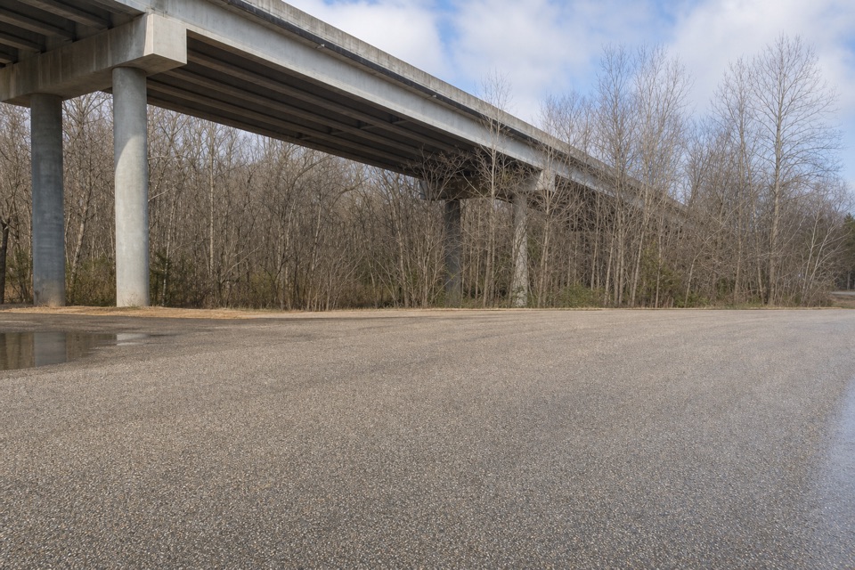
Finding the turnFrom the small Bates Ferry trailhead lot, follow the old roadbed for about 0.4 mile.

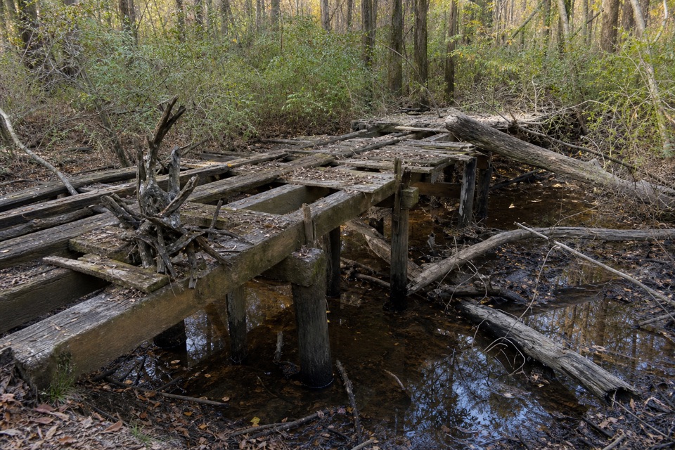
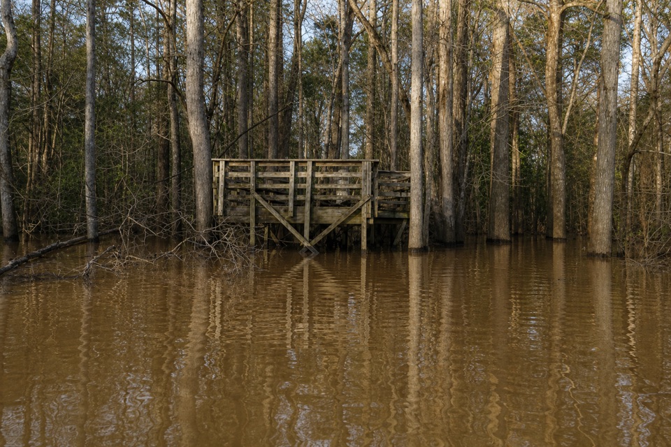
From the small Bates Ferry trailhead lot, follow the old roadbed for about 0.4 mile. Take the spur on the right and cross the steel-deck flatbed trailer bridge over Bates Old River. Continue across the slough; when the path bends left, look to your right for the tree. The spur is easy to miss, and you'll retrace your route to get back.

This low, unimproved trail can be wet or overgrown, and flooding can hide washed-out ground. If water covers the path beyond the bridge, turn back rather than stepping into unseen washouts. Check park conditions before setting out.

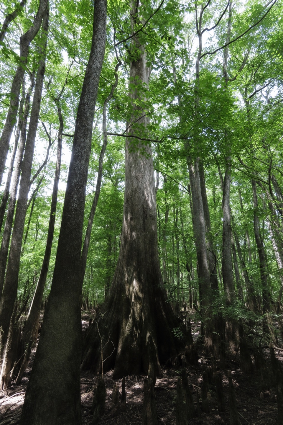
A tree you can measureThe trunk is about 30 feet around, with a knee rising roughly 8 feet from the floodplain.

The trunk is about 30 feet around, with a knee rising roughly 8 feet from the floodplain. Look at the wide base and the cypress knees around it; they make the tree's scale easier to read than a close view of bark alone.

Why it survivedThe tree's center is hollow and its crown is broken.

The tree's center is hollow and its crown is broken. Those flaws made it poor lumber and helped it escape the logging that removed many other large cypress in the region. South Carolina recognized it as a Heritage Tree in 2018. Its exact age is unknown because the hollow trunk makes it impossible to count its rings.

Two huge cut baldcypress stumps stand nearby. They are a reminder of the cypress logging that once reshaped this floodplain.

A Revolutionary-era nameThe tree is named for Nathanael Greene, the Revolutionary War general who met Francis Marion at…

The tree is named for Nathanael Greene, the Revolutionary War general who met Francis Marion at nearby McCord's Ferry after the Battle of Fort Motte. The name links this quiet pocket of forest to the people who moved through the river corridor.

The road and river beside itBates Ferry was part of a historic Camden-to-Charleston route before bridges replaced the…

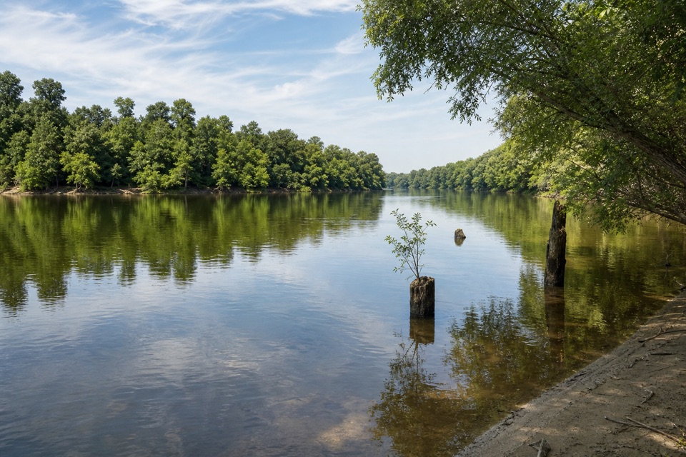
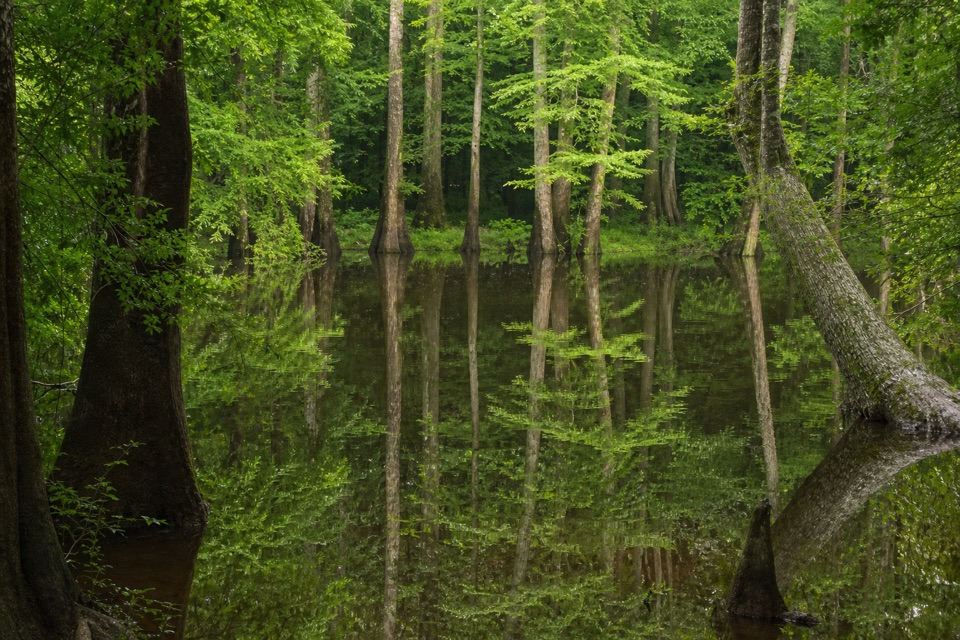
Bates Ferry was part of a historic Camden-to-Charleston route before bridges replaced the crossing. Bates Ferry Trail follows an old road and causeway through the floodplain. Bates Old River is a former Congaree channel, left isolated after the 1852 flood.

Frame it with the stumpsFor a photo, include the tree's flared base and one of the nearby cut stumps if you can see…

For a photo, include the tree's flared base and one of the nearby cut stumps if you can see both from the path. That gives the trunk scale and puts the surviving tree beside the logging history around it.

Wildlife

Wildlife in Congaree

All Congaree wildlife maps

Sighting maps show where each species has been reported across Congaree. Wildlife moves, so no sighting is guaranteed.

Parkwolf’s Congaree ranking

Top sights in Congaree

All 14 places
  1. 1Weston Lake OverlookSight
  2. 3Wise LakeSight
  3. 4Moonshine Still (Boardwalk Stop 15)Sight
  4. 5Richland County PineSight
  5. 6Bates Ferry LandingSight
  6. 7Congaree National Park SignSight

Take Parkwolf to Congaree.

The audio tour guide for the drive, plus offline maps, trails, and wildlife heatmaps for when the signal drops.

4.7 from 8,600+ ratings

Download Parkwolf on the App StoreGet Parkwolf on Google Play