Parking
Use the small Fork Swamp Trailhead lot on the short side road off U.S. 601 near Bates Ferry. It is a separate access from the Bates Ferry Trail lot; follow the Fork Swamp (#9) parking marker.

#8 of 9 trails in Congaree
Congaree National Park, SC
A short loop to an oxbow and its shaded riverbank.
Overview
Map & elevation
Plan your hike

The highest, rockiest slopes around here are a summer buffet for grizzly bears.
Congaree Tour Guide
Parkwolf is a GPS audio tour guide for Congaree National Park. As you drive, it chimes in with what’s ahead: hidden gems, upcoming stops, history, geology, and wildlife, right through your car’s speakers.
Recorded for this trailhead
Fork Swamp Trail“You're nearing the access road for Fork Swamp Trail, a short walk beside Bates Old River. The mostly flat, six-tenths-of-a-mile loop takes about twenty to thirty minutes.”
Plays as you drive up to this trailhead in the Parkwolf Congaree Tour Guide.
More stories near here in the app
“Fantastic app with many points of information… It’s great to just turn on while you’re driving and it gives you an audio tour of the national Park. We love it!!!!”


Trail guide
Fork Swamp is a 0.6-mile loop from its separate U.S. 601 trailhead to Bates Old River and back. Plan about 20–30 minutes. The route is mostly flat; choose it for a close look at an old river channel and floodplain rather than a long hike or a big climb.
Start at the interpretive panels beside the small lot. One side begins as a narrow path; the other follows a road-width track. The river is about 100 yards from parking, and the waterside stretch runs for a little over a tenth of a mile before turning inland. The return follows an old road or mowed-grass path. At the clearing, take the established right-hand loop and follow the white #9 markers; the straight-ahead spur is unfinished.
This was once the Congaree's main channel. A hurricane and flood in 1852 shifted the river and left Bates Old River as an oxbow. The water is the walk's payoff: frame it through the trees to show how enclosed the channel is. A short bank section is steep and can be slippery when water is high, so stay on the path. Sycamores and a large bald cypress grow along this reach.
The return opens into a wet meadow. The Kingville Hunt Club once planted cover crops here to draw game; multi-trunk regrowth near the panels points to earlier logging. In some springs, butterweed can carpet the forest floor. The clearing sits near the Congaree–Wateree river junction, where raptors and wading birds may pass. Possible sightings include kites, eagles, osprey, herons, egrets and white ibis, but none are guaranteed.
Use Fork Swamp's own small parking area on the short side road off U.S. 601 near Bates Ferry; it is separate from the Bates Ferry Trail access. No toilet or drinking-water facility could be confirmed at this outlying lot. Pets are allowed on park trails on a leash no longer than six feet.
Wildlife
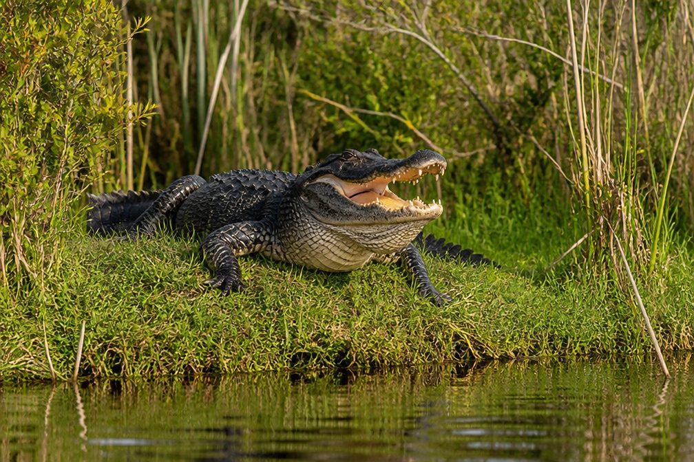 146 sightingsAlligatorMost seen around 6 PMSighting map
 242 sightingsWild BoarMost seen around 6 PMSighting map
 291 sightingsBarred OwlMost seen around 7 PMSighting map
 248 sightingsCottonmouthMost seen around 6 PMSighting map
 13 sightingsWood StorkMost seen around 8 AMSighting map
 61 sightingsGreat Blue HeronMost seen around 7 AMSighting map
Sighting maps show where each species has been reported across Congaree. Wildlife moves, so no sighting is guaranteed.
Keep exploring
 EasyBates Ferry Trail2.2 mi · 1.3 hr · 1.3 mi awayA short, flat walk on a historic road to the Congaree River.
 ChallengingKingsnake Trail7.4 mi · 4 hr · 9.1 mi awayA flat, long floodplain walk with sloughs, bridges, and tricky wayfinding.
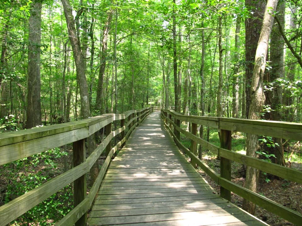 EasyBoardwalk Trail2.6 mi · 1.5 hr · 11.3 mi awayLevel boardwalk, old-growth trees, and a Weston Lake overlook.
 ModerateWeston Lake Trail4.5 mi · 2.5 hr · 11.3 mi awayA 4.5-mile loop through old growth to Weston Lake.
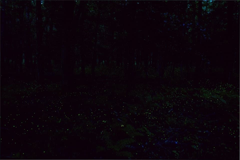 EasyFirefly Trail1.8 mi · 1 hr · 11.3 mi awayAn easy woodland walk to Congaree's spring firefly display.
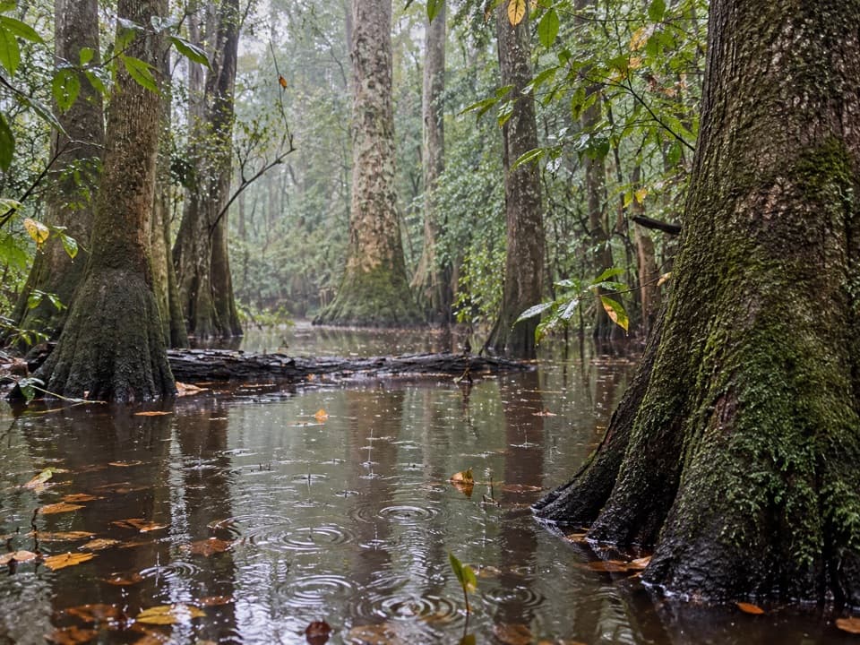 ChallengingOakridge Trail7.1 mi · 4.5 hr · 11.3 mi awayOld-growth oaks and flooded guts make this a navigation-first hike.
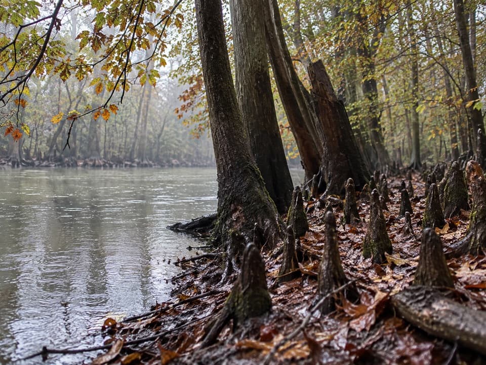 EasySims Trail3.2 mi · 1.5 hr · 11.3 mi awayA level old road to a creek bridge and park history.
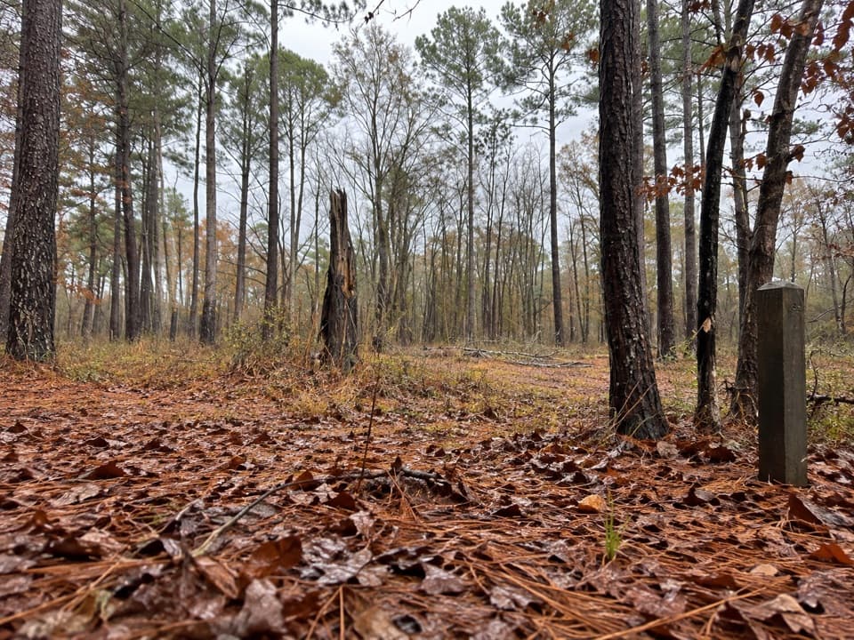 EasyLongleaf Trail0.6 mi · 20 min · 11.7 mi awayA short forest link from Longleaf Campground to the Boardwalk.
 Sight · 0.9 mi awayBates Bridge LandingA practical river take-out beneath the US 601 bridge.
 Sight · 0.9 mi awayBates Ferry LandingFollow an old ferry road to the Congaree's historic crossing.
 Sight · 1 mi awayGeneral Greene TreeAn 8-foot cypress knee and a hollow tree with a Revolutionary story.
 Trailhead · 9.1 mi awaySouth Cedar Creek Canoe LandingPaddle beneath cypress canopy from Congaree's eastern Cedar Creek access.
Parkwolf’s Congaree ranking

The audio tour guide for the drive, plus offline maps, trails, and wildlife heatmaps for when the signal drops.