Congaree National Park Sign in Congaree National Park

#7 of 9 sights in Congaree

Sight · Congaree National Park

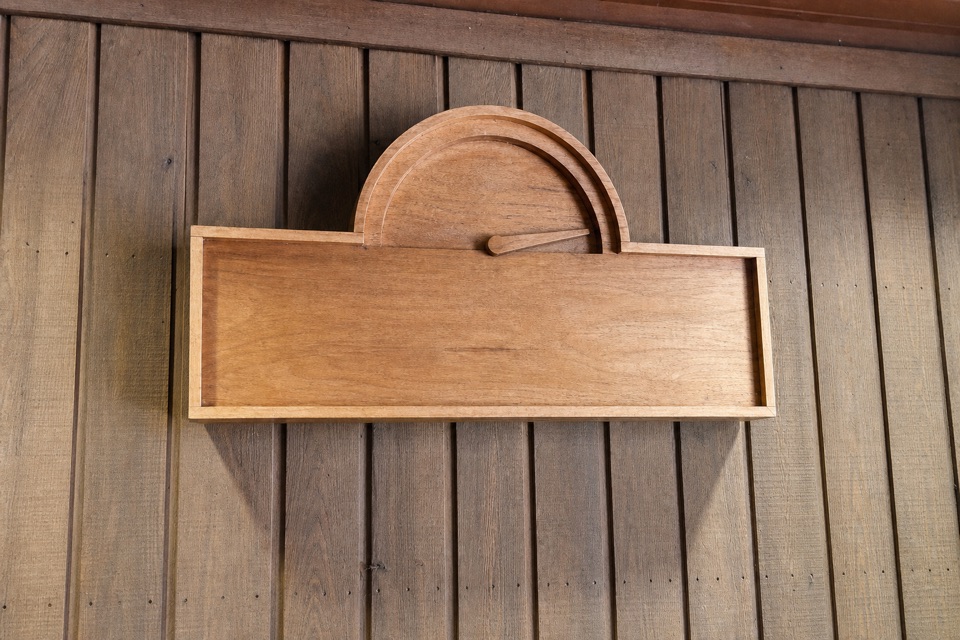
Congaree National Park Sign

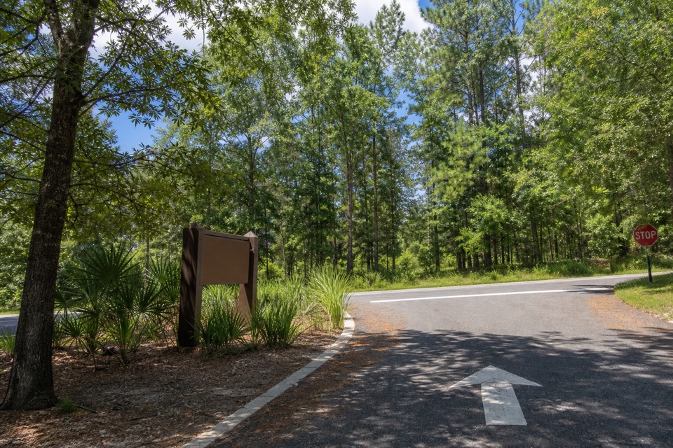
The entrance marker comes a mile before the visitor center.

Type
Sight
Nearest trail
0.5 mi
Audio stories
6 nearby

Hear the audio tour

Longleaf and Bluff Campgrounds

Overview

About Congaree National Park Sign

Why stop

  • A clear marker on the final approach to the visitor center.

Map

Where it is

Loading the Congaree map
Full map
SightCongaree National Park Sign33.84334, -80.82899
Keep this map with you offline in the Parkwolf app

Plan your stop

Before you go

2 active Congaree alerts

  • CautionDowned trees obstruct Cedar Creek paddling routeExpect significant portages and carry-overs of logs and other obstacles on Cedar Creek between Bannister’s Bridge and South Cedar Creek because trees are down across the creek.Official details
  • CautionNavigation hazards on backcountry trailsOakridge, Boggy Gut, and Kingsnake trails are open but may be difficult to follow in some areas; carry GPS and use caution.Official details

Congaree alerts
A park ranger sits on a dash-mounted phone, talking, as Parkwolf’s Tour Guide plays “Army Cutworm Moths: A Grizzly Bear Buffet” on Grand Loop Road below Dunraven Pass in Yellowstone
Parkwolf Tour GuideThe highest, rockiest slopes around here are a summer buffet for grizzly bears.

Congaree Tour Guide

Your drive to Congaree National Park Sign, narrated.

Parkwolf is a GPS audio tour guide for Congaree National Park. As you drive, it chimes in with what’s ahead: hidden gems, upcoming stops, history, geology, and wildlife, right through your car’s speakers.

Recorded for this area

Longleaf and Bluff Campgrounds
0:00 / 0:25
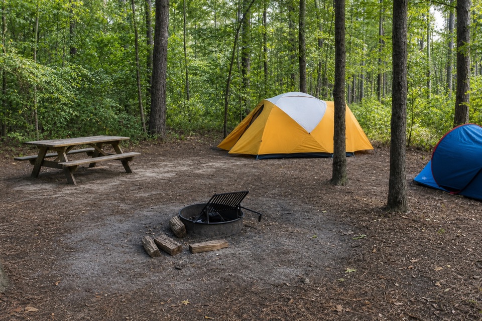
“You're nearing Longleaf Campground, the practical tent-camping option if you want a short walk with your gear. Reserve ahead; vehicles stay in the parking lot, and the farthest sites are about a hundred yards away.”

Plays on the road 0.4 mi from Congaree National Park Sign in the Parkwolf Congaree Tour Guide.

More stories near here in the app

  • The Pine That Starts as Grass
  • A Plant That Lives in the Air
  • Harry Hampton Visitor Center and Boardwalk
  • Bannister Bridge Canoe Landing
  • 13 audio storiesacross Congaree’s roads, triggered by GPS as you drive
  • Wildlife heatmapsfor Alligator, Wild Boar, Barred Owl, and 13 more
  • Works offlinemaps, 9 trails, 14 places, and audio download before you lose signal
  • CarPlay readysimple controls built for the drive
★★★★★
“Fantastic app with many points of information… It’s great to just turn on while you’re driving and it gives you an audio tour of the national Park. We love it!!!!”
JMJamesApp Store review
Download Parkwolf on the App StoreGet Parkwolf on Google Play

4.7 from 8,600+ ratings

Guide

More about Congaree National Park Sign

At the entranceCongaree National Park's brown entrance sign stands on the right side of Old Bluff Road, about…

Congaree National Park's brown entrance sign stands on the right side of Old Bluff Road, about 4.5 miles after the turn from SC 48/Bluff Road. It marks the park entrance; Harry Hampton Visitor Center is another mile ahead.

Keep it simpleThis is a drive-by arrival marker, not a trail or staffed stop.

This is a drive-by arrival marker, not a trail or staffed stop. The visitor directions don't identify a designated pull-off or photo space beside the sign, so don't count on being able to stop here. If you can't pull fully off where stopping is safe and permitted, continue to the visitor center.

If you can stop safelyFor a photo, keep some of the wooded junction around the brown sign; a wider view shows where…

For a photo, keep some of the wooded junction around the brown sign; a wider view shows where the entrance road meets Old Bluff Road. Don't stop in the lane or on an unsafe shoulder.

Wildlife

Wildlife in Congaree

All Congaree wildlife maps

Sighting maps show where each species has been reported across Congaree. Wildlife moves, so no sighting is guaranteed.

Keep exploring

Near Congaree National Park Sign

See it all on the map

Trails nearby

More stops nearby

Parkwolf’s Congaree ranking

Top sights in Congaree

All 14 places
  1. 1Weston Lake OverlookSight
  2. 2General Greene TreeSight
  3. 3Wise LakeSight
  4. 4Moonshine Still (Boardwalk Stop 15)Sight
  5. 5Richland County PineSight
  6. 6Bates Ferry LandingSight

Take Parkwolf to Congaree.

The audio tour guide for the drive, plus offline maps, trails, and wildlife heatmaps for when the signal drops.

4.7 from 8,600+ ratings

Download Parkwolf on the App StoreGet Parkwolf on Google Play