Parking
Start at the Bates Ferry Trailhead parking area off US 601 (McCords Ferry Road) in the park’s eastern section.

#5 of 9 trails in Congaree
Congaree National Park, SC
A short, flat walk on a historic road to the Congaree River.
Overview
Map & elevation
Plan your hike

The highest, rockiest slopes around here are a summer buffet for grizzly bears.
Congaree Tour Guide
Parkwolf is a GPS audio tour guide for Congaree National Park. As you drive, it chimes in with what’s ahead: hidden gems, upcoming stops, history, geology, and wildlife, right through your car’s speakers.
Recorded for this trailhead
Bates Ferry and the General Greene Tree“You're coming up on Bates Ferry Trailhead, the walking access for the General Greene Tree. Follow the old road for about four tenths of a mile, then take the tree spur across the flatbed trailer bridge.”
Plays as you drive up to this trailhead in the Parkwolf Congaree Tour Guide.
More stories near here in the app
“Fantastic app with many points of information… It’s great to just turn on while you’re driving and it gives you an audio tour of the national Park. We love it!!!!”


Trail guide
Bates Ferry Trail is an easy 2.2-mile round-trip out-and-back from US 601 to a landing on the Congaree River. The mostly level route follows an unimproved, grassy old road through floodplain woods and returns the same way. Set aside about an hour to 90 minutes if you want time at the river. Choose it for the historic road and riverbank; the walk ends at the water rather than a high overlook.
Start at the Bates Ferry Trailhead on US 601 in the park’s eastern section and follow the brown markers numbered 7. About 0.4 mile in, a right-hand side trail leads to the separate General Greene Tree; it adds mileage and is not part of the 2.2-mile route. Dogs are welcome on a leash no longer than six feet.
Underfoot, this is a broad but unimproved grassy causeway, not a boardwalk. It is mowed periodically, though low growth can crowd the route. Stick with the brown #7 markers: old side tracks are not cleared or marked. The short distance and little climbing make this a straightforward walk when the ground is passable.
The roadbed reaches the Congaree’s bank, where the route turns back. The bank is steep and can be slippery, so stay on the marked path. At low water, remnants of the 1923 bridge may be visible along the shore. This is a river landing, not a broad overlook.
The park describes this as a 1920s ferry road. Ferries had crossed the Congaree here along the Camden–Charleston route since colonial times; a bridge followed in 1923. The short walk lets you trace that old approach to the river, where the crossing once continued to the other bank.
The nearby Bates Old River is an oxbow left behind when the Congaree abandoned a bend after the 1852 flood. Yellow bear’s-foot flowers may bloom along the route from late spring into fall, and swamp buckeye flower stalks appear in spring. Those seasonal details are possibilities, not guarantees. Low sections flood periodically and can become impassable; check current park alerts before setting out.
Wildlife
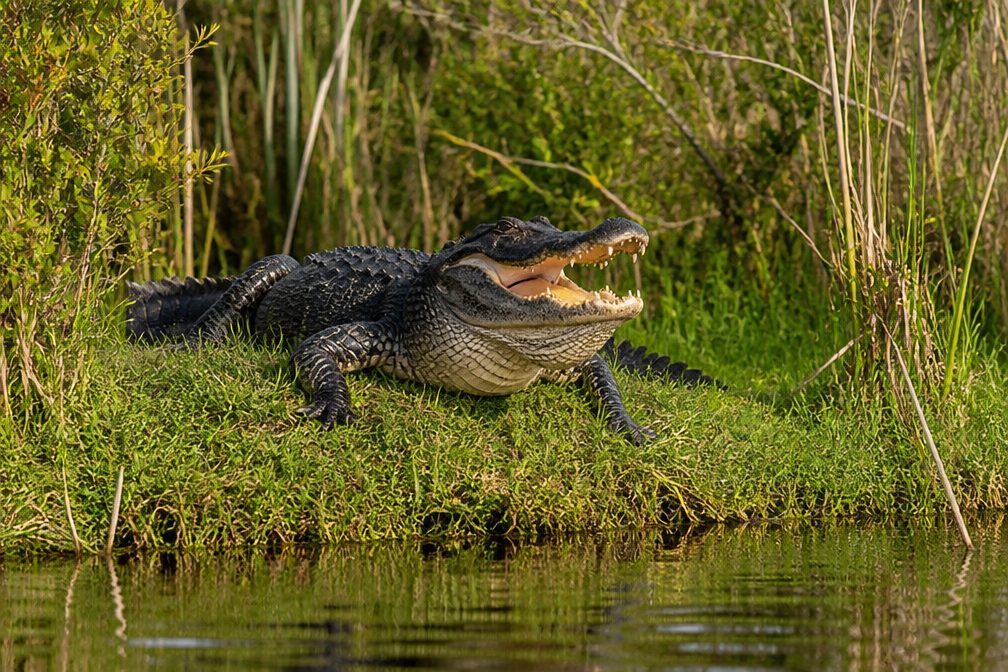 146 sightingsAlligatorMost seen around 6 PMSighting map
 242 sightingsWild BoarMost seen around 6 PMSighting map
 291 sightingsBarred OwlMost seen around 7 PMSighting map
 248 sightingsCottonmouthMost seen around 6 PMSighting map
 13 sightingsWood StorkMost seen around 8 AMSighting map
 61 sightingsGreat Blue HeronMost seen around 7 AMSighting map
Sighting maps show where each species has been reported across Congaree. Wildlife moves, so no sighting is guaranteed.
Keep exploring
 ModerateFork Swamp Trail0.6 mi · 24 min · 1.3 mi awayA short loop to an oxbow and its shaded riverbank.
 ChallengingKingsnake Trail7.4 mi · 4 hr · 9 mi awayA flat, long floodplain walk with sloughs, bridges, and tricky wayfinding.
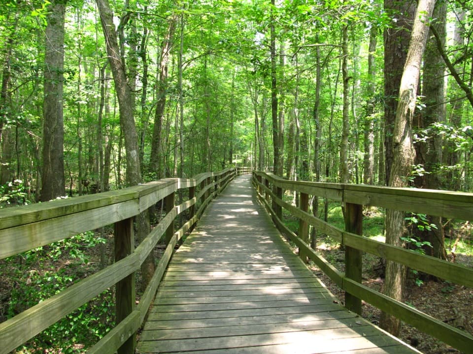 EasyBoardwalk Trail2.6 mi · 1.5 hr · 11.2 mi awayLevel boardwalk, old-growth trees, and a Weston Lake overlook.
 ModerateWeston Lake Trail4.5 mi · 2.5 hr · 11.2 mi awayA 4.5-mile loop through old growth to Weston Lake.
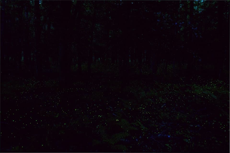 EasyFirefly Trail1.8 mi · 1 hr · 11.2 mi awayAn easy woodland walk to Congaree's spring firefly display.
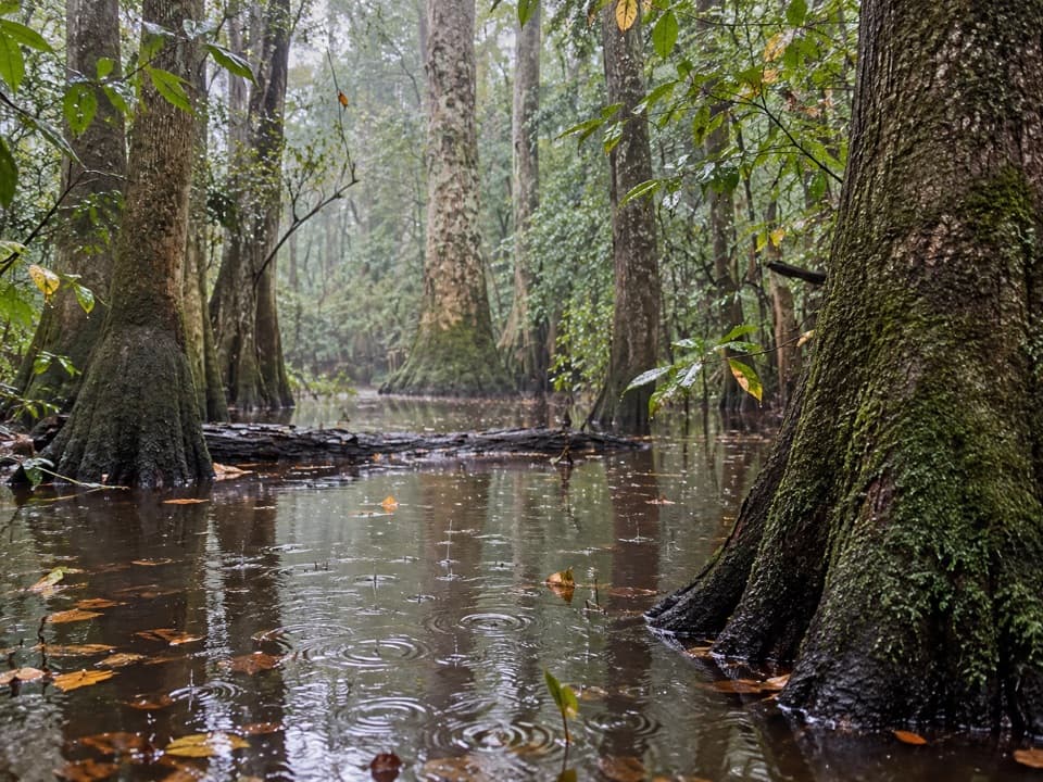 ChallengingOakridge Trail7.1 mi · 4.5 hr · 11.2 mi awayOld-growth oaks and flooded guts make this a navigation-first hike.
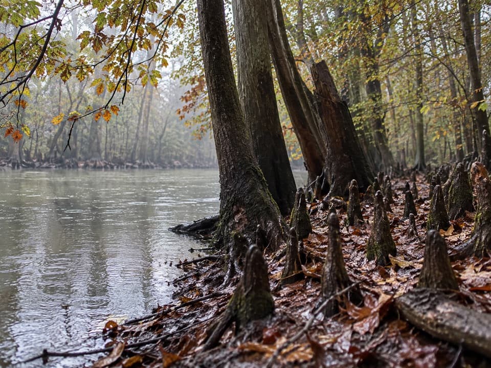 EasySims Trail3.2 mi · 1.5 hr · 11.2 mi awayA level old road to a creek bridge and park history.
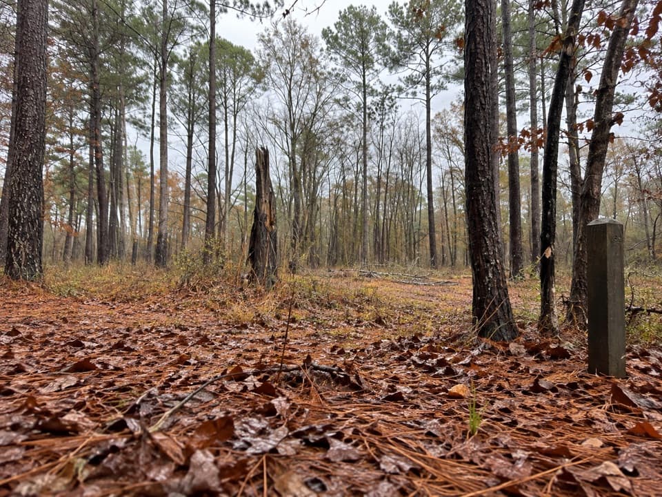 EasyLongleaf Trail0.6 mi · 20 min · 11.5 mi awayA short forest link from Longleaf Campground to the Boardwalk.
 Sight · 0.4 mi awayGeneral Greene TreeAn 8-foot cypress knee and a hollow tree with a Revolutionary story.
 Sight · 1.1 mi awayBates Ferry LandingFollow an old ferry road to the Congaree's historic crossing.
 Sight · 2.1 mi awayBates Bridge LandingA practical river take-out beneath the US 601 bridge.
 Trailhead · 9 mi awaySouth Cedar Creek Canoe LandingPaddle beneath cypress canopy from Congaree's eastern Cedar Creek access.
Parkwolf’s Congaree ranking

The audio tour guide for the drive, plus offline maps, trails, and wildlife heatmaps for when the signal drops.