
Place
Easy
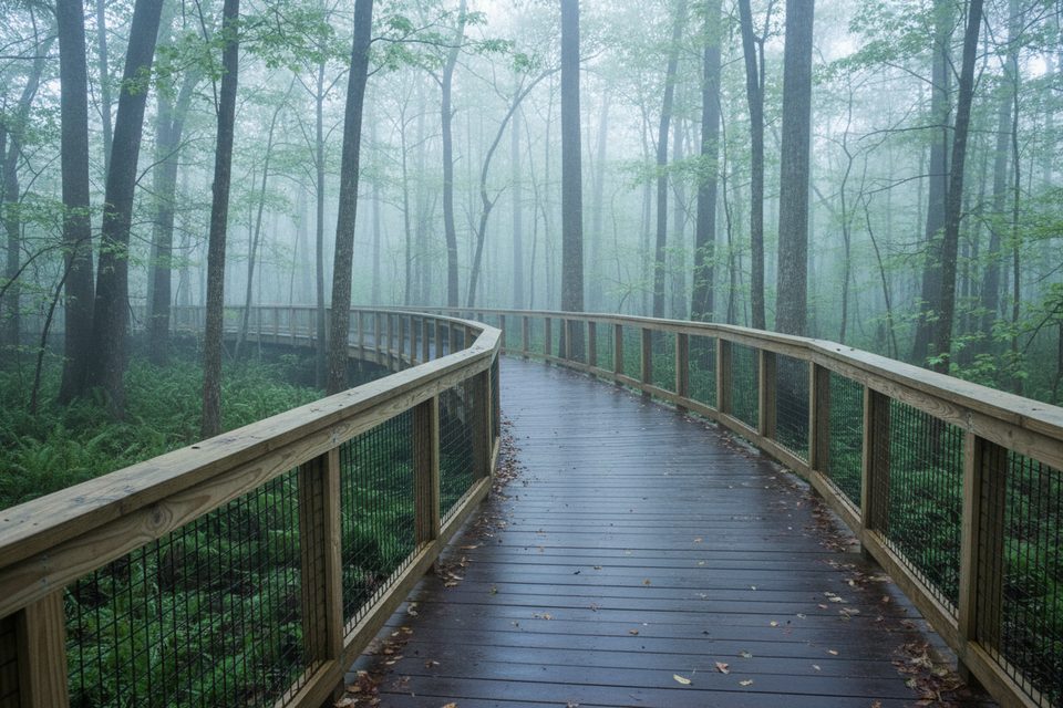
This mellow loop is the park’s upland stroll—short, shaded, and a nice break from Congaree’s swampier scene. Expect an easy walk through young pine and mixed hardwood forest with almost no elevation change. The loop is roughly 2.0–2.1 miles total (loop, not one-way). The small variance comes from where you start and whether you include short connectors from the Harry Hampton Visitor Center or nearby campgrounds.
The star here is the restoration story: sections of the route pass through areas managed with prescribed fire to restore longleaf pine savanna. You’ll notice loblolly pines, open understory in burn-managed stretches, and plenty of birdsong. Wildlife is genuinely possible: white-tailed deer browse the edges, fox squirrels frequent the pines, and eastern box turtles show up on warm days. Keep an eye out for signs of bobcat in the sand, too.
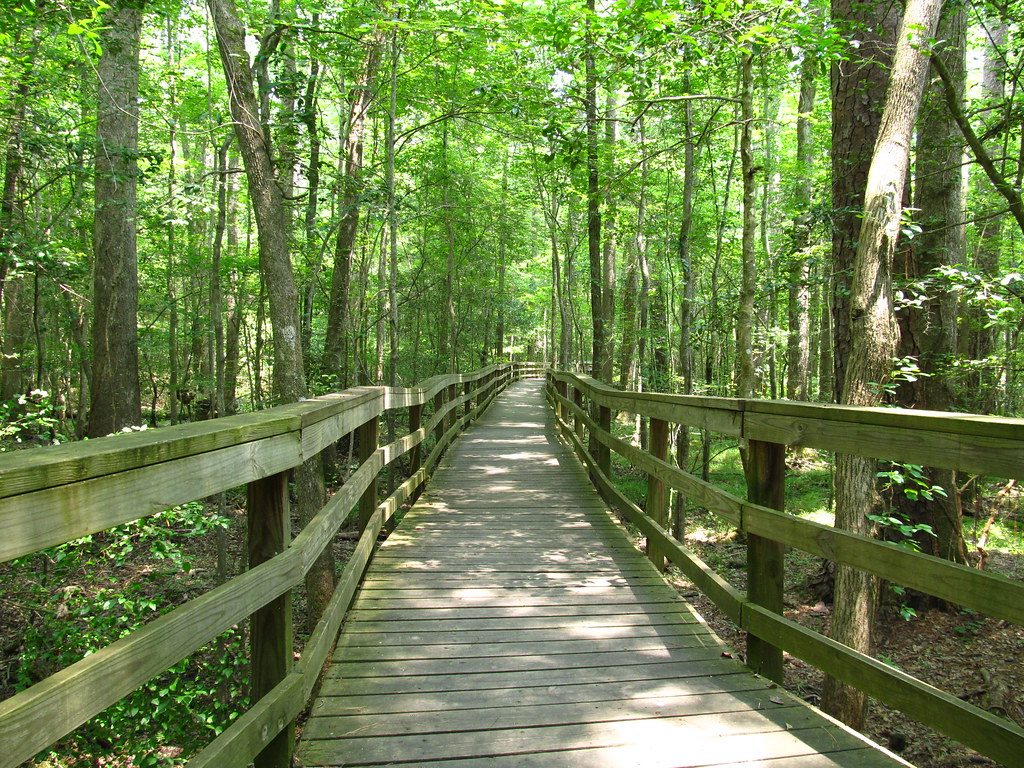
Footing is mostly firm, well-maintained dirt with short boardwalk spans in wetter pockets. It’s well-marked—look for numbered markers identifying Bluff as #1—so navigation is straightforward even for first-timers. Elevation gain is negligible (about 19 feet total), and most hikers take about an hour, including photo and wildlife pauses.
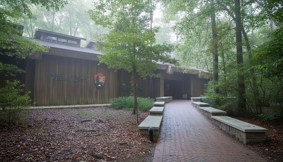
You can start from the Harry Hampton Visitor Center via a short connector that crosses the entrance road, or from either Longleaf or Bluff Campground. The loop sits amid a compact network, making it easy to link with Longleaf or Firefly if you want a little more mileage or a different feel.
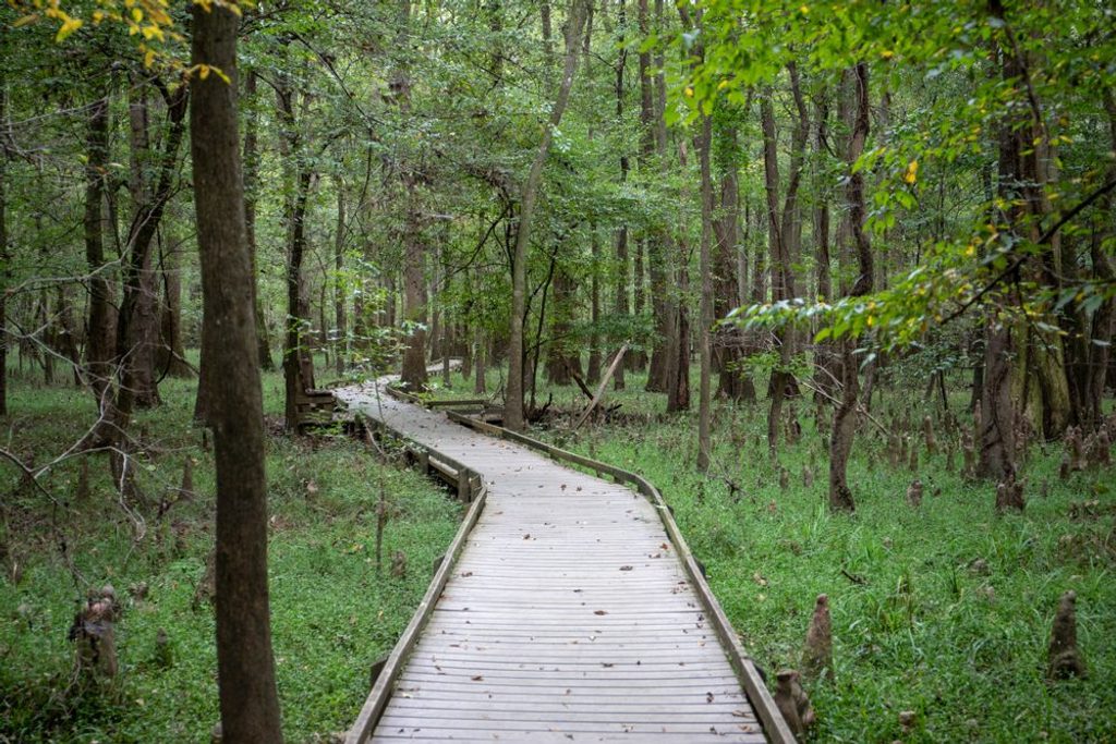
If you’re chasing Congaree’s cathedral-like old-growth floodplain, this isn’t that—consider the Boardwalk Loop for the park’s iconic big-tree, cypress-tupelo vibe. But Bluff Trail earns its keep as a peaceful, family-friendly loop with reliable conditions when floodplain trails are soggy. It’s an especially smart pick during high water or if you’re camping nearby and want a low-effort sunset or morning leg-stretcher.
Year-round works. Spring and fall bring comfortable temps and lively wildlife. Summer is shaded but buggy—bring serious repellent. Early morning and late afternoon are best for cooler temps, softer light, and wildlife activity.
Park at the Harry Hampton Visitor Center lot; take the short connector across the entrance road to reach the loop. Campers can also start from Longleaf Campground (via Longleaf Trail) or from Bluff Campground.
Mosquitoes are prevalent—use strong repellent. Stay on the signed #1 loop to avoid inadvertently following connectors.
Place
Place
Place
Place
Easy
Easy
Moderate
Moderate

Parkwolf Tour Guide
