Boundary Springs

Headwaters of the Rogue River in a lush, photogenic spring
Boundary Springs, Crater Lake National Park
InsideCrater Lake National Park

Overview

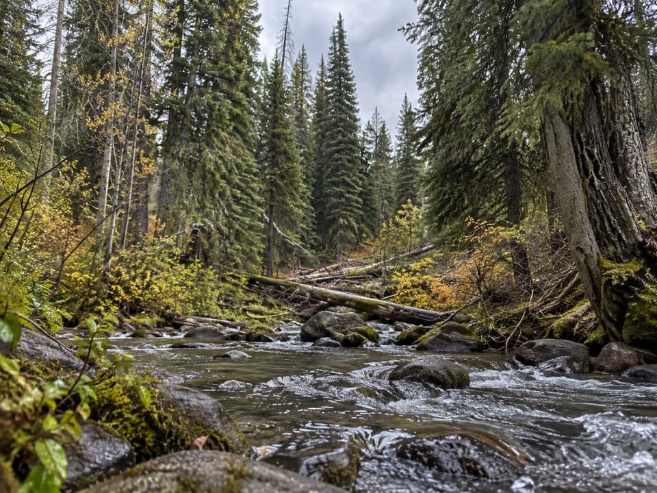
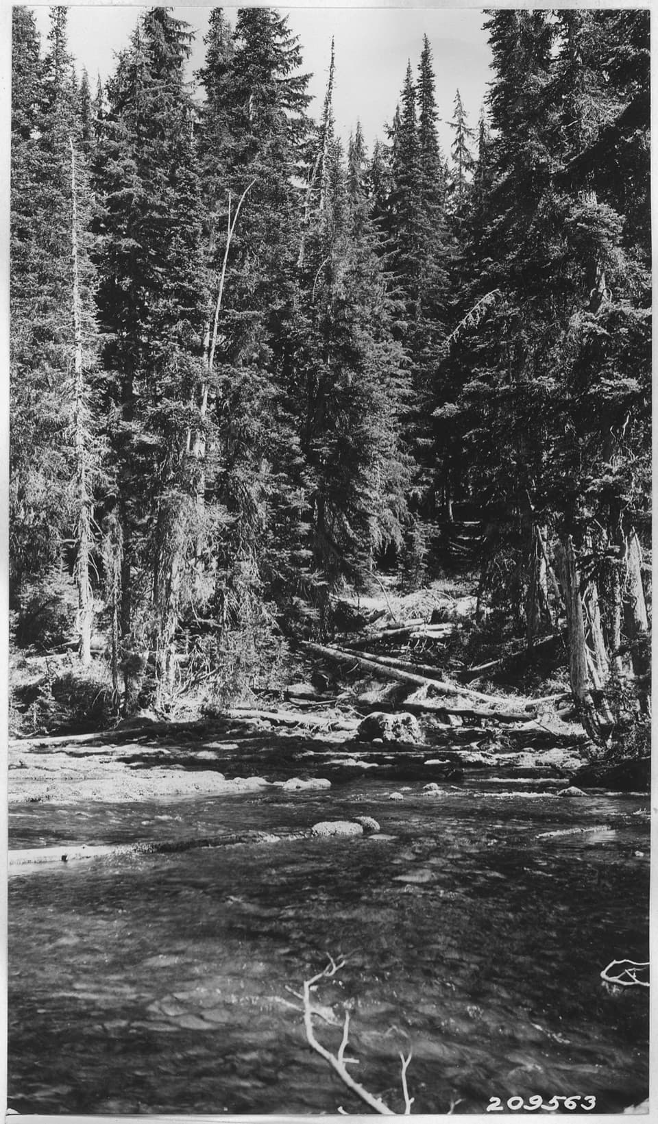
Boundary Springs is where the Rogue River surges to life from the earth—an emerald ribbon of water suddenly appearing from porous volcanic rock near the park’s north boundary. It’s a serene, photogenic spot that feels wonderfully off the radar compared to the lake’s marquee overlooks.

What You’ll See

Expect a lush riparian pocket of mosses, clear channels, and a handful of small cascades set against recovering forest. The springs well up from the ground to form the nascent Rogue River, a rare chance to watch a major river begin in real time.

The Hike

Plan on an easy-to-moderate out‑and‑back of about 5–5.4 miles round‑trip with roughly 880 feet of gain. The path generally follows the young Rogue through forest touched by past fire, offering open views and constant water sound. Junctions aren’t always obvious—bring a map or GPS and pay attention where the Boundary Springs Trail splits from the Upper Rogue River Trail.

Getting There & Access

Most hikers start from a signed pullout on Oregon 230 (Mount Mazama Viewpoint) and walk about 2.5 miles south to the springs. There’s also a Forest Service trailhead reached by a rough road that’s not recommended for standard passenger cars. Don’t expect services: no potable water and no restrooms at the start or along the trail.

Geology & Story

Despite the name of the park, the springs aren’t fed directly by Crater Lake. They’re powered by the High Cascade Aquifer—water that percolates through young volcanic rocks, is stored underground for years, and then bursts out here as steady, crystal‑clear flow at the river’s headwaters. It’s a textbook look at how volcanic landscapes move water invisibly until it resurfaces.

Wildlife

Sources don’t list specific species, but the lush headwaters habitat supports birds, amphibians, and small mammals typical of Cascade riparian zones. Keep your eyes and ears open around the wet meadow and along the creek margins.

Best Time to Visit

This is a great early‑morning or late‑afternoon outing for cooler temps and softer light—especially welcome in the open, post‑fire sections that can feel hot at midday. Flow is reliable year‑round, but early season can mean wet or muddy tread. Always check current trail and access conditions before you go.

Know Before You Go

  • Navigation matters—junctions can be unclear.
  • Come self‑sufficient: no water, no restrooms, no services.
  • Camping is not allowed within a quarter mile of the springs.
  • Expect evidence of past fire and ongoing forest recovery.

Pros

  • Birthplace of the Rogue River with clear, year‑round flow
  • Lush springs and small waterfalls on a quiet, scenic hike
  • Geologically fascinating emergence from porous volcanic rock

Cons

  • Trail signage can be confusing; navigation required
  • Rough access if using the forest road trailhead
  • No water or restrooms at the trailhead

Tips

  • Start from the Mount Mazama Viewpoint pullout on OR‑230 for the simplest approach.
  • Download a map or GPS track—trail junctions and signage can be confusing.
  • Bring all the water you need; there’s no potable water or restrooms.
  • Early morning offers cooler temps and better light in open, post‑fire sections.
  • Check current trail and access conditions with the park or forest before heading out.
The Parkwolf tour guide sitting on a phone mounted in a car

Parkwolf Tour Guide

Like a tour guide in your car.

Save the places you found around Crater Lake, then let Parkwolf guide the drive between them.Download Parkwolf on the App Store