Parking
From Prospect, take OR 230 to Forest Road 6530, continue to Forest Road 6535, then turn onto NF 660 and follow it to the gate at the upper end. Start there and keep the gate clear. No developed lot or trailhead facilities are documented.

Crater Lake National Park, OR
A four-mile forest out-and-back to Bald Crater Loop.
Overview
Map & elevation
Plan your hike

The highest, rockiest slopes around here are a summer buffet for grizzly bears.
Crater Lake Tour Guide
Parkwolf is a GPS audio tour guide for Crater Lake National Park. As you drive, it chimes in with what’s ahead: hidden gems, upcoming stops, history, geology, and wildlife, right through your car’s speakers.
See the Crater Lake audio tour“Fantastic app with many points of information… It’s great to just turn on while you’re driving and it gives you an audio tour of the national Park. We love it!!!!”


Trail guide
Bert Creek Trail is a roughly 4-mile out-and-back from the gate on NF 660 to the Bald Crater Loop junction and back. The walk includes about half a mile along NF 660 to the park boundary, then about 1.5 miles on the named trail through mountain hemlock and Shasta red fir. Allow about 2.5 hours. Expect a remote forest walk with mild grades, not a rim or lake overlook.
From Prospect, take OR 230 to Forest Road 6530, continue to Forest Road 6535, then turn onto NF 660 and follow it to the gate. The last several miles are on forest roads, so plan the drive as part of the outing. No developed parking lot or trailhead facilities are documented. The route sits above 5,500 feet and can be snow-covered from fall into early summer; when snow covers higher trails, the route may be unmarked. Check access before making the drive. Pets are not allowed on this trail; service animals are permitted.
Bert Creek Trail ends at the Bald Crater Loop junction. A signed continuation leads about 1.7 miles farther to Sphagnum Bog, which is outside the four-mile distance above. The wetland is technically a fen: springs feed the headwaters of Crater Creek through a patchwork of moss, sedges, shrubs, and pools. Older field notes describe insect-eating sundews and bladderworts, plus peat over pumice from Mount Mazama. Some hollows are deep, and the plants are fragile, so stay on the established route if you continue.
Wildlife
 16 sightingsBlack BearMost seen around 8 PMSighting map
 178 sightingsMule DeerMost seen around 7 PMSighting map
 26 sightingsCommon RavenMost seen around 9 AMSighting map
 33 sightingsTurkey VultureMost seen around 1 PMSighting map
 47 sightingsRed-tailed HawkMost seen around 11 AMSighting map
 71 sightingsCascades FrogMost seen around 5 PMSighting map
Sighting maps show where each species has been reported across Crater Lake. Wildlife moves, so no sighting is guaranteed.
Keep exploring
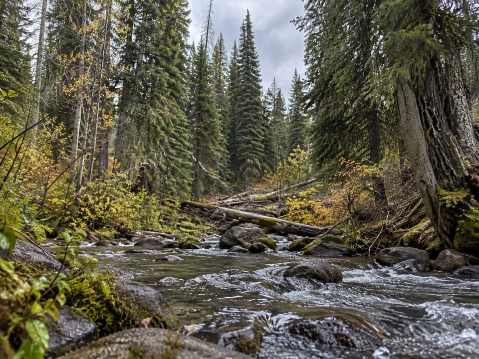 ModerateBoundary Springs Trail5 mi · 3 hr · 6.4 mi awayFollow the Rogue to its cool, mossy spring source.
 ModerateWatchman Peak Trail1.6 mi · 1 hr · 7.3 mi awayA short climb to a 1930s lookout above Wizard Island
 ModerateRed Cone Trail7.2 mi · 3 hr · 7.5 mi awayA long, exposed walk through burned ground north of Red Cone.
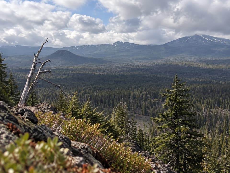 ChallengingBald Crater Loop Trail20.3 mi · 11 hr · 7.5 mi awayA 20-mile PCT approach to a rolling loop and fragile wetland.
 ModerateLightning Spring Trail8.4 mi · 4.5 hr · 7.8 mi awayA spring breaks up the long descent from the rim.
 ChallengingSmall PCT Loop24.8 mi · 12 hr · 7.8 mi awayRim views and remote PCT miles make this a real loop.
 ModerateWizard Island Summit Trail2.4 mi · 1.5 hr · 8.6 mi awayA steep volcanic climb to a crater above the lake.
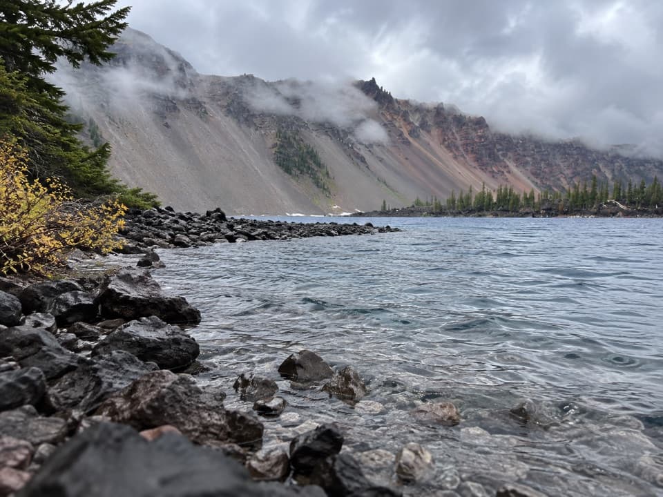 EasyFumarole Bay Trail1.5 mi · 1 hr · 8.6 mi awayA rocky Wizard Island shore walk to a clear, shallow bay.
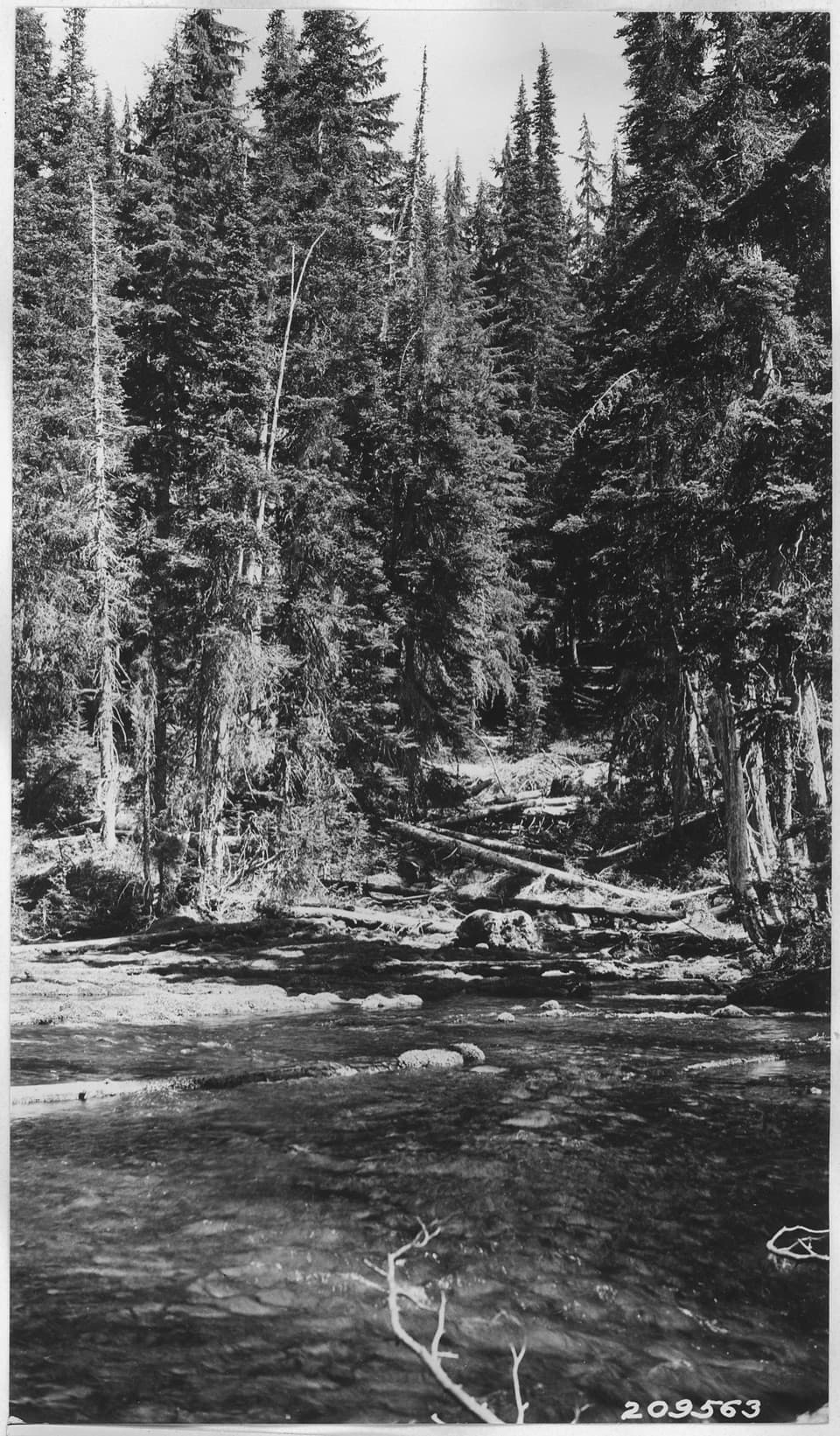 Sight · 4.7 mi awayBoundary SpringsWalk five miles to the mossy hillside where the Rogue begins.
 Sight · 6.8 mi awayDiamond Lake OverlookA northward mountain view worth adding to the West Rim drive.
 Scenic pullout · 7.2 mi awayDevil's Backbone PulloutA jagged lava dike cuts from the lake to the rim.
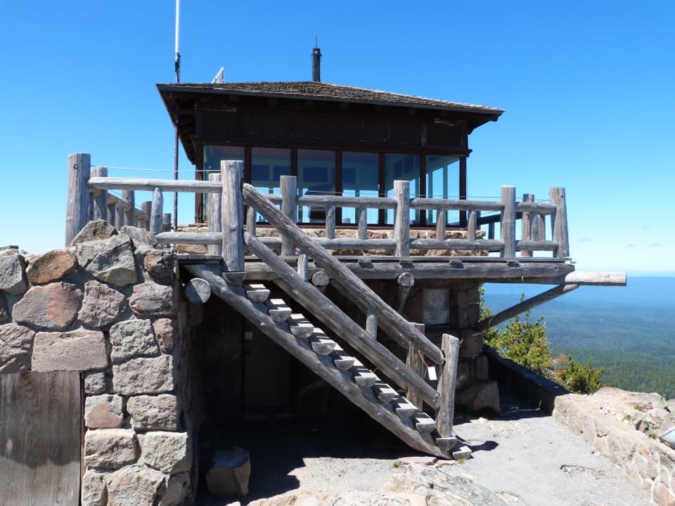 Sight · 7.3 mi awayWatchman Observation StationA steep summit climb with a 360-degree caldera panorama.
 Sight · 7.3 mi awayWatchman OverlookA direct Wizard Island view without the summit climb.
 Sight · 7.4 mi awayMerriam PointThe north road's first lake reveal, with Wizard Island in view.
 Picnic area · 7.7 mi awayLightning Spring Picnic AreaWalk up from the picnic area for a Wizard Island view.
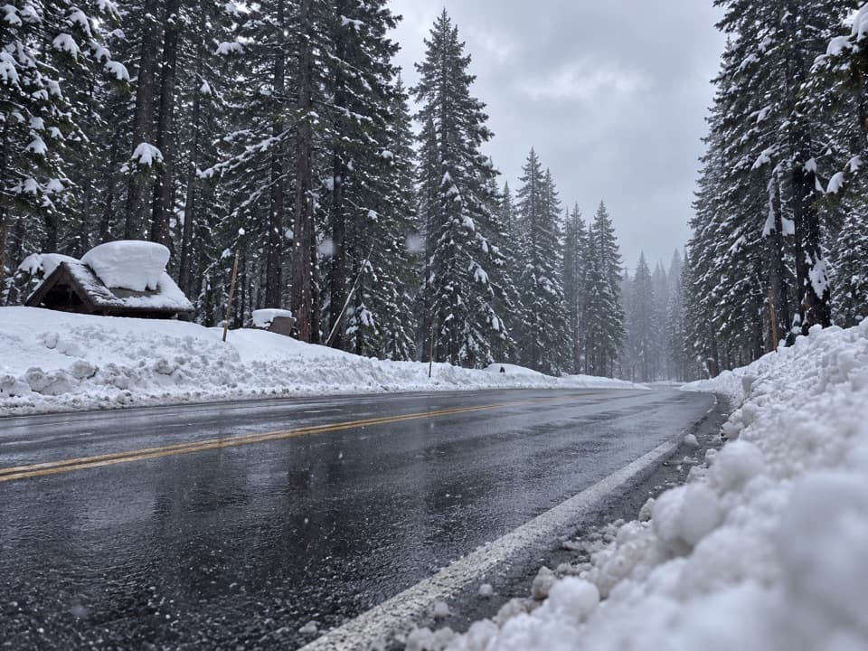 Restroom · 7.7 mi awayOld West KioskA practical first stop for park info and a restroom break.
Parkwolf’s Crater Lake ranking

The audio tour guide for the drive, plus offline maps, trails, and wildlife heatmaps for when the signal drops.