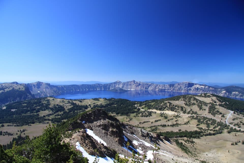
Parking
From Prospect, take Highway 62 north to Highway 230, then continue to the Crater Rim Viewpoint pullout near milepost 19. The route starts on the Upper Rogue River Trail #1034; take the Boundary Springs branch about half a mile southwest.
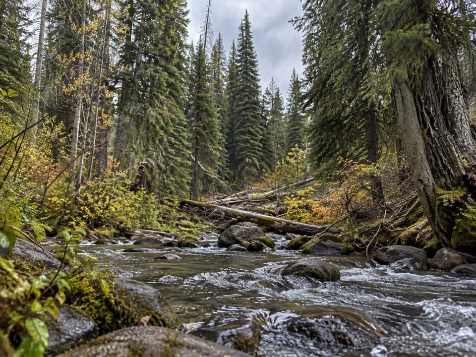
Crater Lake National Park, OR
Follow the Rogue to its cool, mossy spring source.
Overview
Map & elevation
Plan your hike

The highest, rockiest slopes around here are a summer buffet for grizzly bears.
Crater Lake Tour Guide
Parkwolf is a GPS audio tour guide for Crater Lake National Park. As you drive, it chimes in with what’s ahead: hidden gems, upcoming stops, history, geology, and wildlife, right through your car’s speakers.
See the Crater Lake audio tourMore stories near here in the app
“Fantastic app with many points of information… It’s great to just turn on while you’re driving and it gives you an audio tour of the national Park. We love it!!!!”


Trail guide
Boundary Springs Trail is a 5-mile out-and-back to the spring-fed headwaters of the Rogue River. Start at the Highway 230 pullout near milepost 19, by Crater Rim Viewpoint, and follow the Upper Rogue River Trail #1034 for about half a mile before turning onto Boundary Springs Trail #1057. Allow about 3 hours and 400 feet of climbing. The National Park Service calls the full walk moderate; the Forest Service calls the final trail easy. Most of the grade is gradual, with a sharp dip, short climbs and uneven footing along the river. The reward is a small waterfall and the forested place where the Rogue begins.
The important navigation decision comes early: take the Boundary Springs branch from the Upper Rogue River Trail instead of continuing along the main route. The fork is about half a mile from the pullout, so have the route ready before you leave. After the turn, the path drops steeply for roughly 100 yards, then eases through forest shaped by recent fires. A small tributary is crossed on logs; climb out the other side and a switchback gives the first clear look into the Rogue River canyon.
Near a mile, the trail reaches the Lake West road 760 crossing. Turn right across the Rogue River, then left to pick up the trail again. Beyond the crossing, expect a narrow, rolling path with short ups and downs and some fallen trees. The route enters the national park around a mile and a half in, then drops closer to the river. Huckleberries and fireweed grow along the rocky bank; a short, forceful waterfall sits just below the springs.
The 2015 and 2024 fires left blackened trunks along part of the walk, with younger lodgepole pine and Shasta red fir returning among them. The park notes that the burn draws woodpeckers, and seasonal wildflowers can be abundant. The open patches make the forest feel different from the dense river corridor, and they offer a useful reason to look up from the trail as you go.
At about 2.5 miles, the route reaches Boundary Springs, where water seeps from the side of a low ridge and feeds the Upper Rogue. The Rogue’s source is snowmelt, not water from Crater Lake; Mount Mazama’s eruption buried older headwaters beneath pumice, and the river later cut back through the deposits. Stay on the tread and keep off the moss around the spring; camping is not allowed there. Bring drinking water because none is available to refill at the trailhead, and treat any surface water. Pets are not allowed on this route. Snow can cover the trail into early summer, so the usual hiking window runs from June into fall.
Wildlife
 16 sightingsBlack BearMost seen around 8 PMSighting map
 178 sightingsMule DeerMost seen around 7 PMSighting map
 26 sightingsCommon RavenMost seen around 9 AMSighting map
 33 sightingsTurkey VultureMost seen around 1 PMSighting map
 47 sightingsRed-tailed HawkMost seen around 11 AMSighting map
 71 sightingsCascades FrogMost seen around 5 PMSighting map
Sighting maps show where each species has been reported across Crater Lake. Wildlife moves, so no sighting is guaranteed.
Keep exploring
 EasyBert Creek Trail4 mi · 2.5 hr · 6.4 mi awayA four-mile forest out-and-back to Bald Crater Loop.
 ModerateRed Cone Trail7.2 mi · 3 hr · 7.8 mi awayA long, exposed walk through burned ground north of Red Cone.
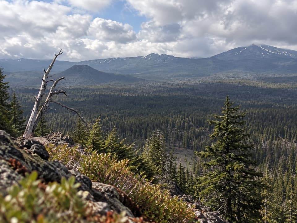 ChallengingBald Crater Loop Trail20.3 mi · 11 hr · 7.9 mi awayA 20-mile PCT approach to a rolling loop and fragile wetland.
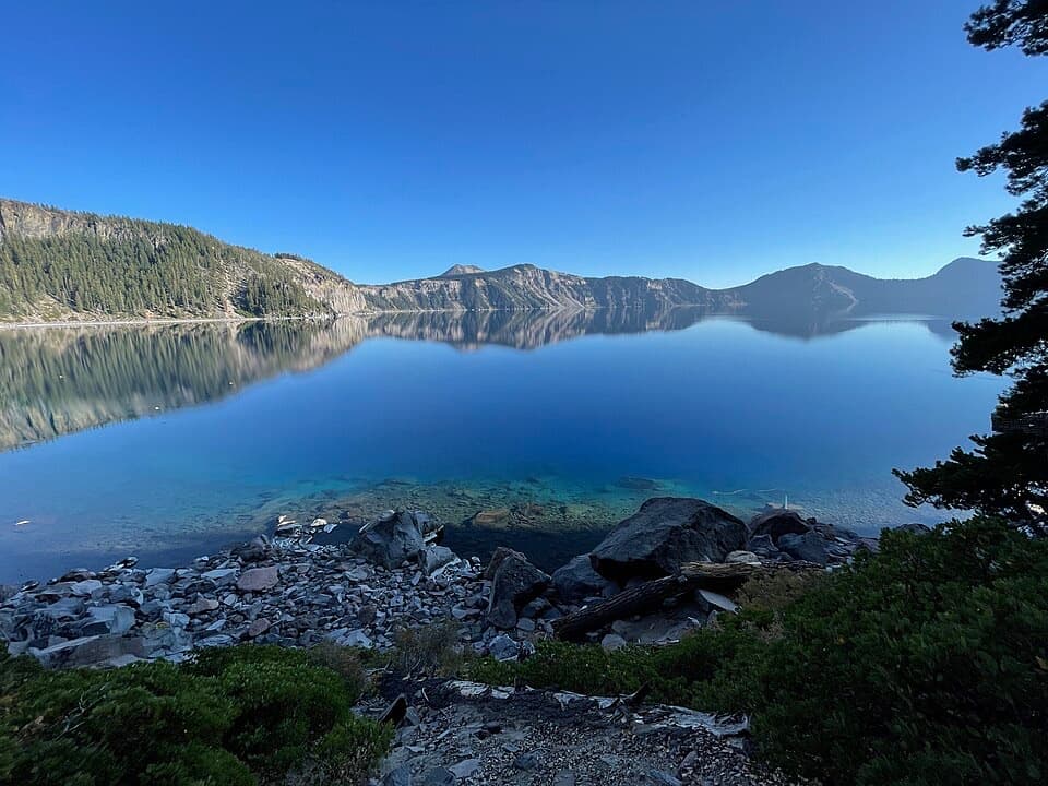 ChallengingCleetwood Cove Trail2.2 mi · 2.5 hr · 10.4 mi awayA rare walk to the water, with a serious climb back out.
 ModerateWatchman Peak Trail1.6 mi · 1 hr · 10.4 mi awayA short climb to a 1930s lookout above Wizard Island
 ModerateLightning Spring Trail8.4 mi · 4.5 hr · 11.1 mi awayA spring breaks up the long descent from the rim.
 ChallengingSmall PCT Loop24.8 mi · 12 hr · 11.1 mi awayRim views and remote PCT miles make this a real loop.
 ModerateWizard Island Summit Trail2.4 mi · 1.5 hr · 11.4 mi awayA steep volcanic climb to a crater above the lake.
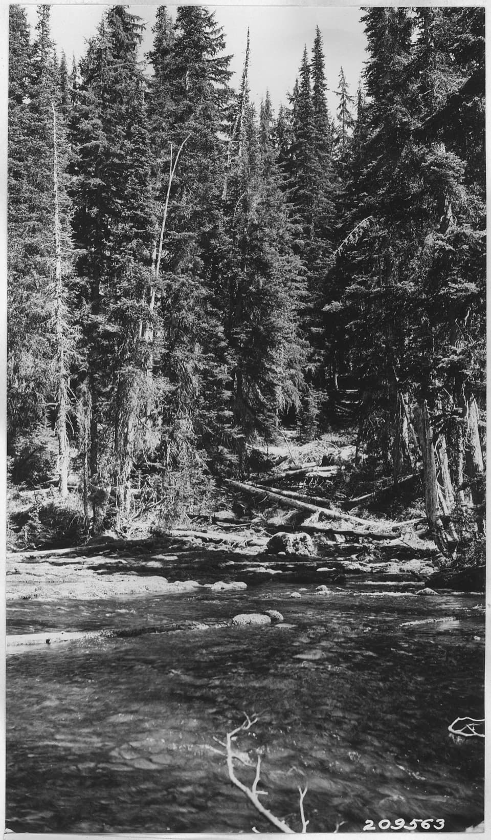 Sight · 1.7 mi awayBoundary SpringsWalk five miles to the mossy hillside where the Rogue begins.
 Entrance station · 5.3 mi awayNorth Entrance StationThe north road opens onto pumice country before the lake appears.
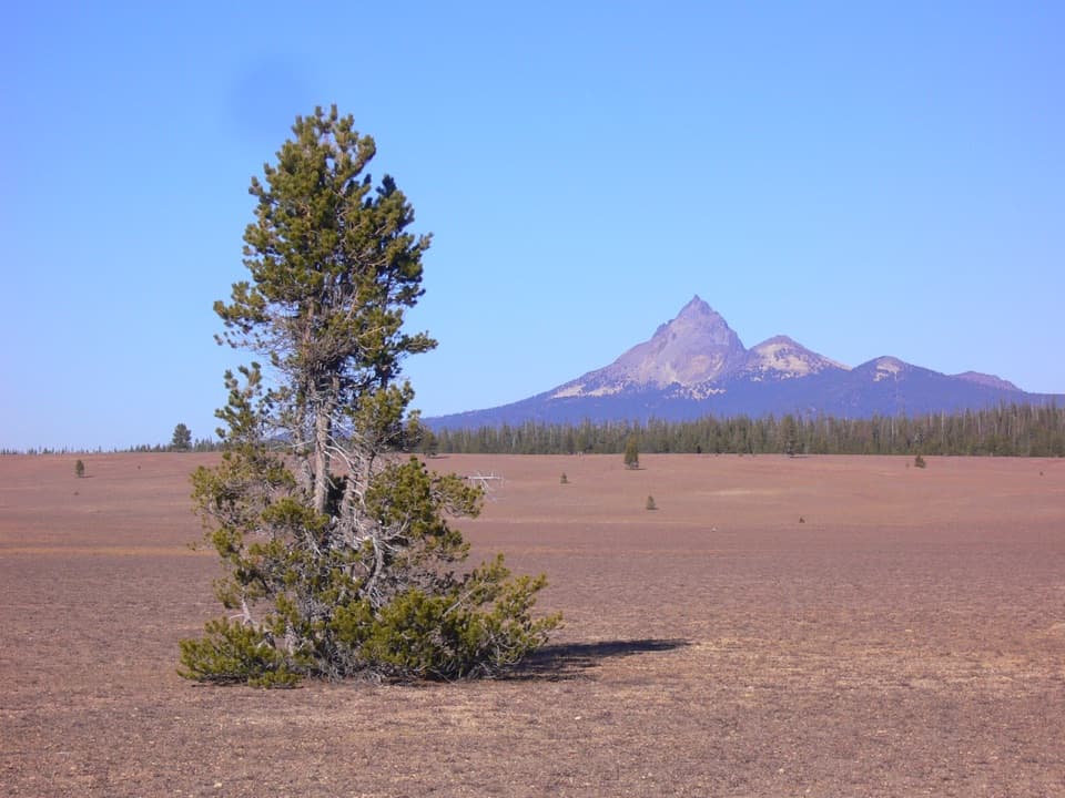 Scenic pullout · 6.7 mi awayPumice DesertA volcanic plain where plant recovery moves at a glacial pace.
 Picnic area · 9.3 mi awaySteel Bay Picnic AreaAn easy picnic break above Steel Bay on the north rim.
 Sight · 9.4 mi awayMerriam PointThe north road's first lake reveal, with Wizard Island in view.
 Scenic pullout · 9.5 mi awayDevil's Backbone PulloutA jagged lava dike cuts from the lake to the rim.
 Sight · 9.7 mi awayDiamond Lake OverlookA northward mountain view worth adding to the West Rim drive.
 Scenic pullout · 9.8 mi awayPumice Point OverlookA white pumice cliff adds a geology stop to the rim drive.
Parkwolf’s Crater Lake ranking

The audio tour guide for the drive, plus offline maps, trails, and wildlife heatmaps for when the signal drops.