
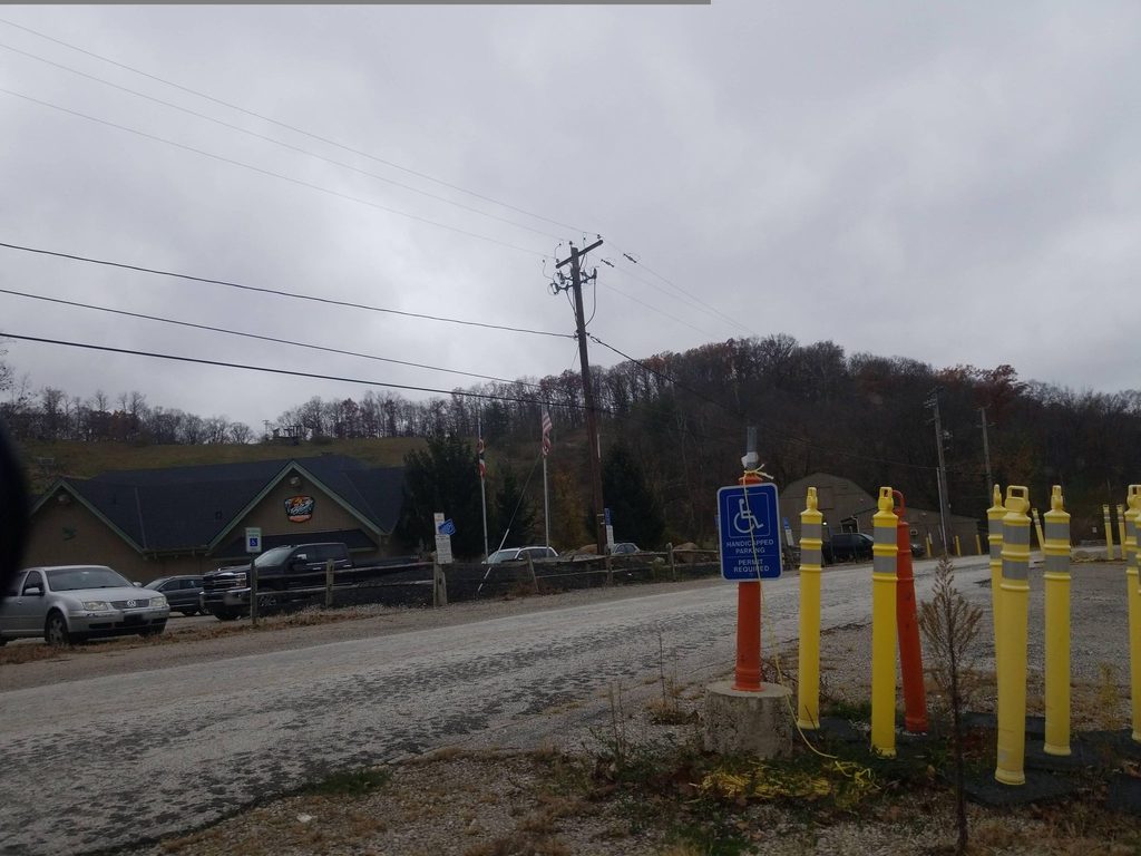
Place · 0.2 mi away
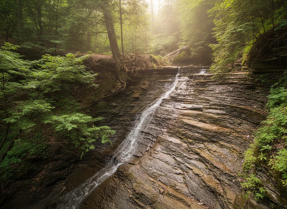
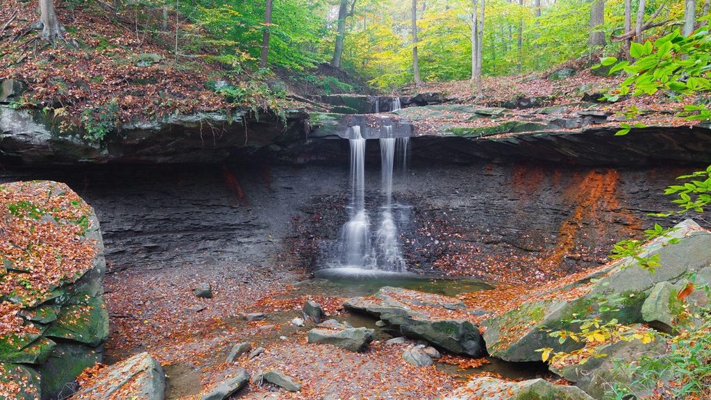
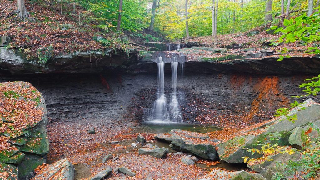
Buttermilk Falls is the waterfall people miss—and that’s the point. Tucked in a forested ravine about a half mile downstream from Blue Hen Falls, this roughly 35‑foot, multi-tier cascade serves up solitude and a sense of discovery that the park’s headline waterfalls can’t match. It’s not on official maps, which keeps crowds thin and the vibe tranquil.
Start from the Boston Mill area and follow the route toward Blue Hen Falls. From Blue Hen, continue downstream for about a half mile to reach Buttermilk Falls. Expect at least one stream crossing on the way and limited or no on-site signage, so go in with clear directions before you set out.
A picturesque drop over rocky ledges in a quiet, shady ravine. In spring or after steady rain, the flow ramps up and the falls are especially photogenic. The surrounding creek and layered rock add to the scene.
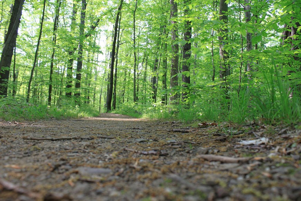
This is an unofficial extension of a popular hike, not a manicured trail. You’ll likely cross the creek, navigate muddy patches, and step over rocks or downed logs. It can be slick near the water, and stream crossings may be hazardous after heavy rain. Plan footwear and pace accordingly.
Buttermilk Falls shares the same stream system as Blue Hen Falls. Shale and sandstone layers shape the ledges and the waterfall’s profile—classic CVNP geology exposed by flowing water over long time scales.
The forested setting means you may encounter common park wildlife like songbirds, squirrels, and deer as you hike. Move quietly and you’ll hear the falls before you see them.
Spring and periods after rain showcase the best flow. Because it’s unmarked and little known, you’re likely to find minimal crowds most days; just budget extra time for route-finding and creek crossings.
Place · 0.2 mi away
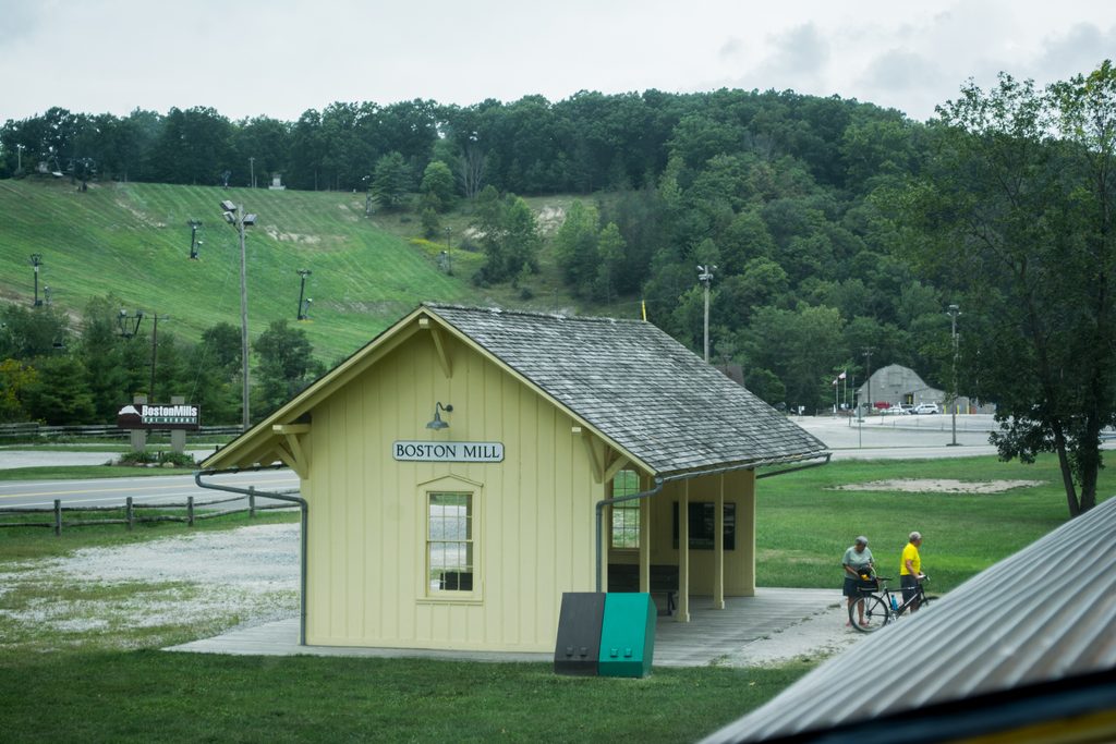
Place · 0.3 mi away
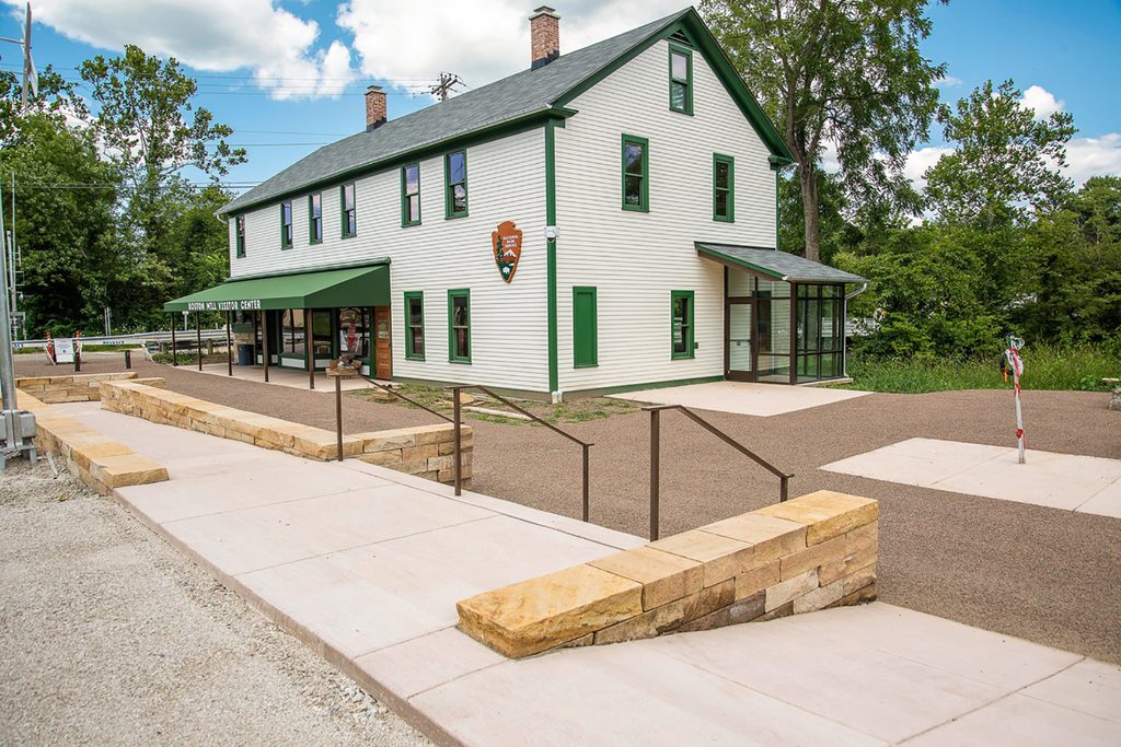
Place · 0.4 mi away
Place · 0.4 mi away
Moderate · 0.4 mi away
Moderate · 0.5 mi away
Moderate · 0.5 mi away
Moderate · 0.8 mi away

Parkwolf Tour Guide
