Parking
Starts at Buckfast Abbey and finishes by Tavistock Abbey; no dedicated route car park or return transfer was verified. Arrange parking and one-way transport before setting out.
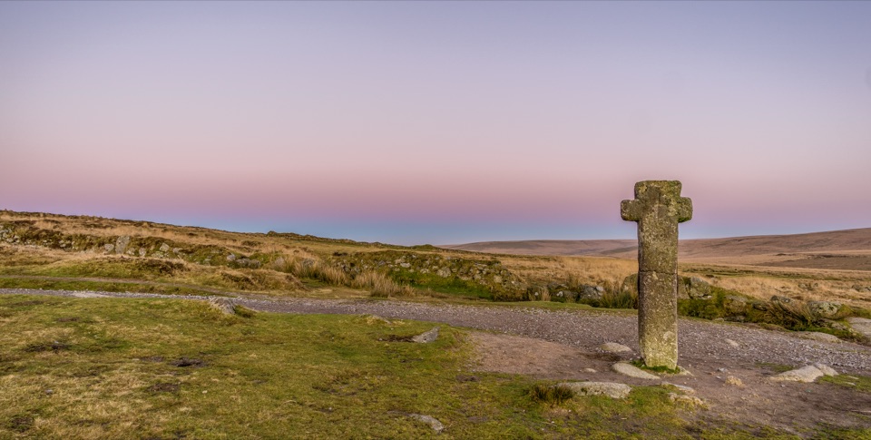
Dartmoor National Park
A full-day crossing of open Dartmoor between two abbeys.
Overview
Map & elevation
Plan your hike

The highest, rockiest slopes around here are a summer buffet for grizzly bears.
Dartmoor Tour Guide
Parkwolf is a GPS audio tour guide for Dartmoor National Park. As you drive, it chimes in with what’s ahead: hidden gems, upcoming stops, history, geology, and wildlife, right through your car’s speakers.
Recorded for this area
Buckfast Abbey's Glass and Gardens“Up ahead is Buckfast Abbey, a working monastery with gardens, places to eat and a church that looks medieval but was rebuilt in the twentieth century.”
Plays on the road 0.1 km from the trailhead in the Parkwolf Dartmoor Tour Guide.
More stories near here in the app
“Fantastic app with many points of information… It’s great to just turn on while you’re driving and it gives you an audio tour of the national Park. We love it!!!!”


Trail guide
Abbot's Way is a 21.7-mile one-way walk from Buckfast Abbey to the ruins of Tavistock Abbey. It crosses southern Dartmoor from lower farmland and river valleys onto open high moor, then through Princetown and Merrivale before the finish in Tavistock. This is a point-to-point day, not a circuit; arrange a return journey from Tavistock before setting out. The mapped recreational route links these abbey sites today; whether it follows the medieval abbots’ path is disputed. Allow about 10–12 hours for the distance, climbs and stops.
From Buckfast the way runs through Hockmoor, Lambs Down and Deans Moor to Avon Dam Reservoir, follows the reservoir’s north side, then keeps with the River Avon. Beyond Plym Ford it climbs past the Wheel Katherine mine remains and South Hessary Tor to Princetown. The village is a practical refreshment stop, with pubs and cafés. Past North Hessary Tor, Merrivale adds Bronze Age stone monuments and a former granite quarry. Whitchurch Common and Moortown lead to the River Tavy crossing and Tavistock Abbey’s surviving ruins.
The mapped line reaches about 508 m (1,670 ft); the full cumulative ascent has not been established. The high moor is exposed and can be boggy, and one route report describes stretches where the visible path sits away from the map. Poor visibility makes navigation harder, so use an offline map and allow time to check it against the ground. Dogs may come, but on Countryside and Rights of Way access land they need a fixed lead no longer than 2 m from 1 March to 31 July. Keep close control on rights of way and use a lead near livestock.
Wildlife
 32 sightingsWestern Roe DeerMost seen around 7 AMSighting map
 10 sightingsRed FoxMost seen around 7 PMSighting map
 37 sightingsEuropean RabbitMost seen around 7 AMSighting map
 19 sightingsGrey HeronMost seen around 7 PMSighting map
 34 sightingsGreat Spotted WoodpeckerMost seen around 7 AMSighting map
 20 sightingsCommon RavenMost seen around 8 AMSighting map
Sighting maps show where each species has been reported across Dartmoor. Wildlife moves, so no sighting is guaranteed.
Keep exploring
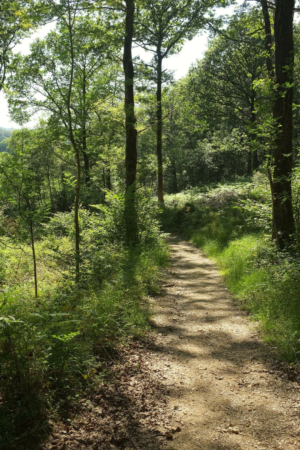 ModerateHembury Woods Walk6.6 km · 2.3 hr · 1.2 km awayA riverbank loop skirts an ancient hillfort through deep woodland.
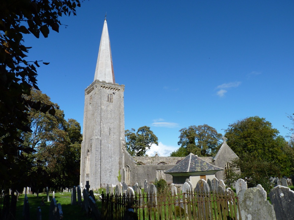 ModerateBuckfastleigh Walk5.8 km · 3.5 hr · 1.4 km awayA long stairway links Lower Town with Holy Trinity above Buckfastleigh.
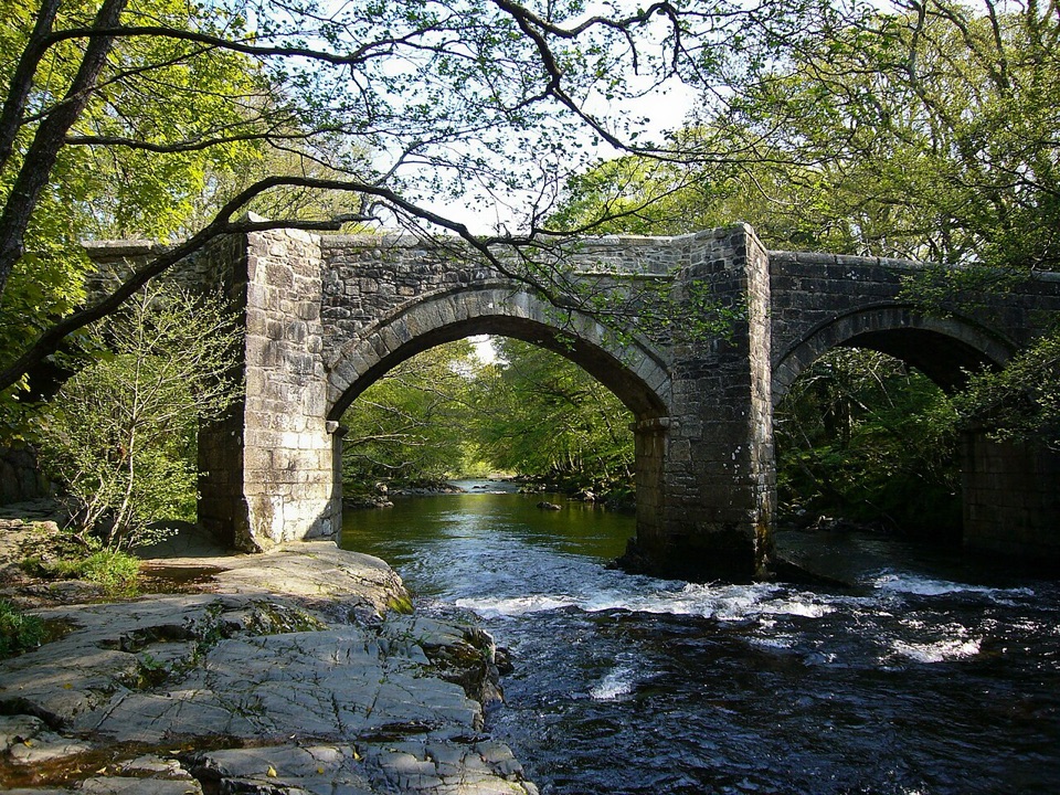 ModerateSpitchwick Manor Circular10.6 km · 3.5 hr · 4.6 km awayA riverside start leads to three high tors above Dart Gorge.
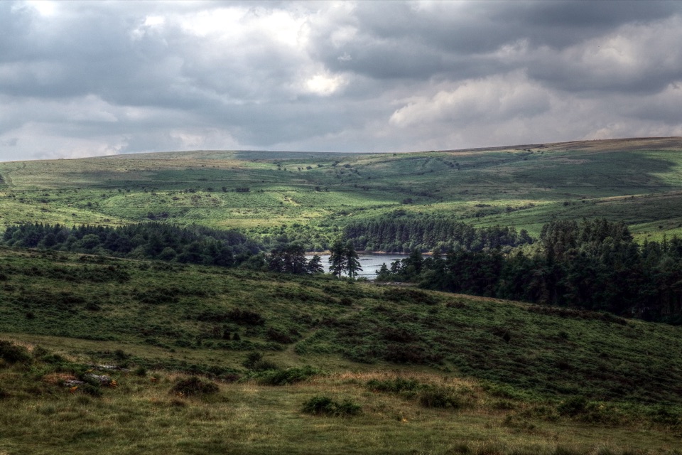 ModerateVenford Reservoir and Bench Tor Walk2.8 km · 1.5 hr · 6.7 km awayA reservoir crossing, open moor, and a granite tor above Dart Gorge.
 EasyShipley Bridge to Avon Dam5.8 km · 1.8 hr · 7.4 km awayA smooth river walk with waterfalls on the way to the dam.
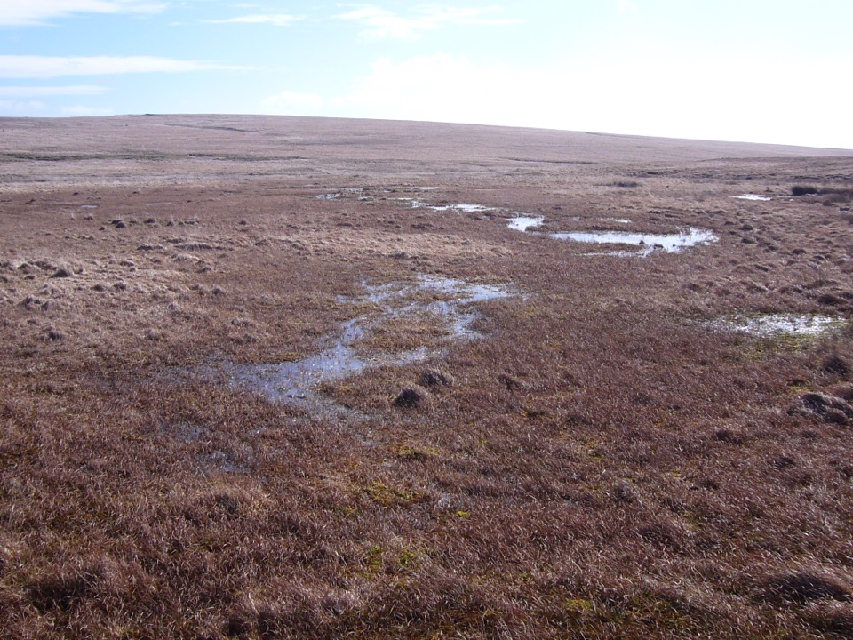 ModerateCombestone Tor to Aune Head Mire8.5 km · 3.8 hr · 8.3 km awayFind the Avon’s source among open pools and peat.
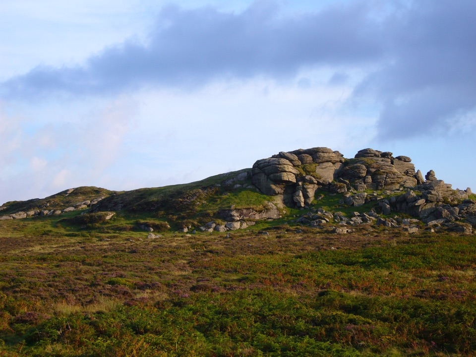 EasySaddle Tor Walk1 km · 30 min · 9.2 km awayA quick rocky climb to Saddle Tor’s higher granite pile.
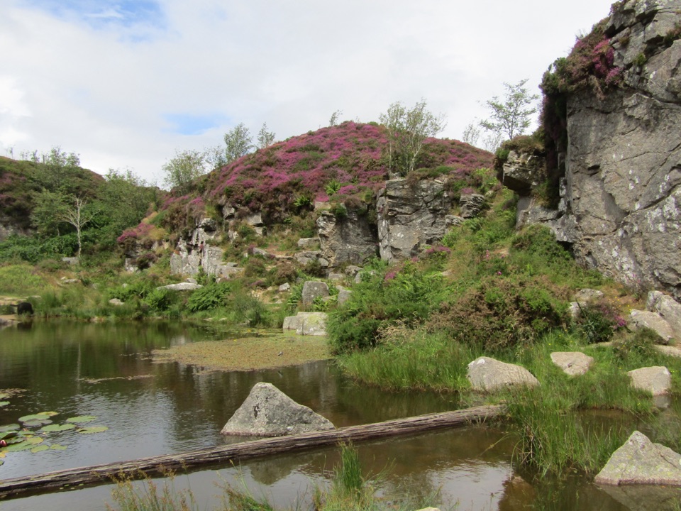 ModerateMiles Without Stiles Haytor Quarry Walk2.6 km · 1.3 hr · 9.6 km awayA short out-and-back to quarry pools and an old tramway viewpoint.
 Sight · 0.2 km awayBuckfast AbbeyA working monastery with a vivid glass chapel and gardens.
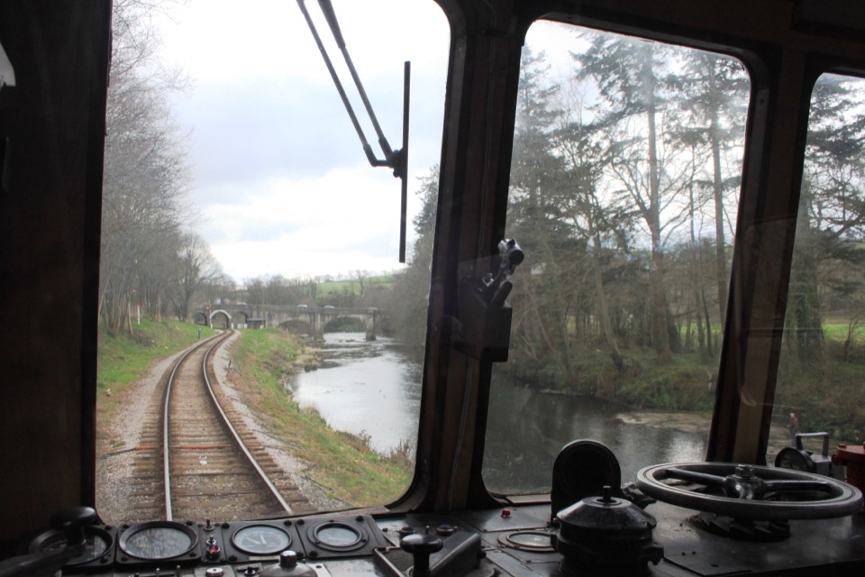 Sight · 1.2 km awaySouth Devon RailwaySteam, small stations and a river valley make a full-day outing.
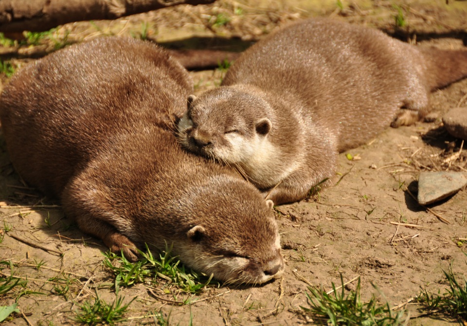 Sight · 1.4 km awayBuckfast Butterfly Farm and Dartmoor Otter SanctuaryButterflies fly free; watch otters swim through the underwater window.
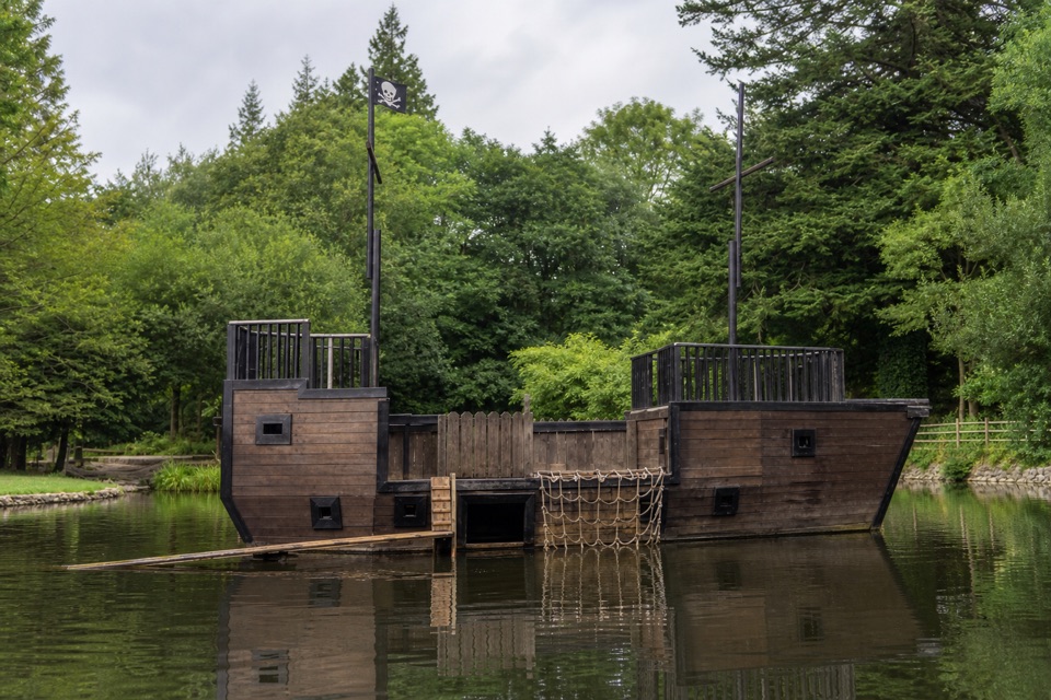 Campground · 2.9 km awayRiver Dart Country ParkA 90-acre family adventure park with lake play and camping.
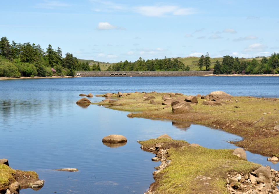 Sight · 6.7 km awayVenford ReservoirA short waterside loop with a longer moorland and gorge walk
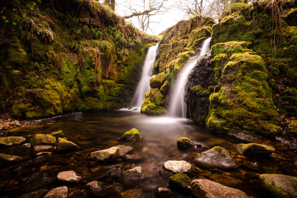 Sight · 6.7 km awayVenford FallsA tucked-away mossy cascade with a steep approach.
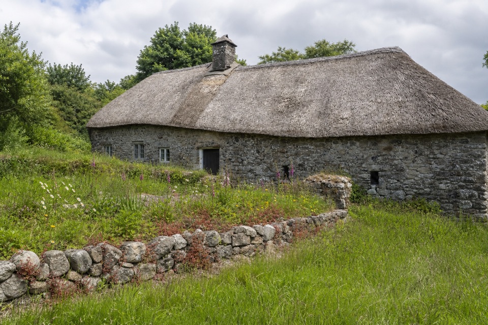 Sight · 6.7 km awayHigher UppacottA rare, intact Dartmoor longhouse with a story in every room.
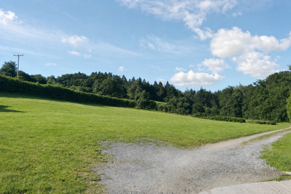 Campground · 8 km awayCockingford CampsiteQuiet grass pitches beside a stream, with Dartmoor walks close by.
Parkwolf’s Dartmoor ranking

The audio tour guide for the drive, plus offline maps, trails, and wildlife heatmaps for when the signal drops.




