Parking
Combestone Tor car park (SX 670 718); cross the road to the grassy path.
Dartmoor National Park
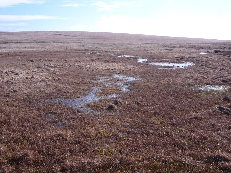
Find the Avon’s source among open pools and peat.
Overview
Map & elevation
Plan your hike

The highest, rockiest slopes around here are a summer buffet for grizzly bears.
Dartmoor Tour Guide
Parkwolf is a GPS audio tour guide for Dartmoor National Park. As you drive, it chimes in with what’s ahead: hidden gems, upcoming stops, history, geology, and wildlife, right through your car’s speakers.
Recorded for this trailhead
Combestone Tor to Aune Head Mire“You're approaching Combestone Tor, where a moorland walk leads to Aune Head Mire, the source of the River Avon. The full circuit is about five miles and takes three to four hours over rough, boggy ground.”
Plays as you drive up to this trailhead in the Parkwolf Dartmoor Tour Guide.
More stories near here in the app
“Fantastic app with many points of information… It’s great to just turn on while you’re driving and it gives you an audio tour of the national Park. We love it!!!!”


Trail guide
Combestone Tor to Aune Head Mire is a moorland circuit of about 5.3 miles (8.5 km) from the tor car park to the head of the River Avon, then back over higher ground. The full mapped walk is longer than the 4.3-mile figure printed with the route; allow three to four hours. Expect open bogland, old workings and rough tracks rather than a surfaced path.
Cross the road and climb through bracken to old stone boundaries and a square enclosure. Springs, soft rush and sphagnum appear as the track gains Holne Ridge. Turn onto Sandy Way, a narrow sandy path beside a man-made gully, and follow it to Aune Head’s broad valley mire. The rougher line skirts O Brook; an easier option uses a grassier climb. On clear days, Red Lake Mire’s spoil heap sits on the southern skyline. Frame the pools with the heap beyond to show the open scale. Aune Head is a peat bog at the source of the Avon, also called the Aune.
Explore the mire, retrace Sandy Way, continue past the junction, then leave near old mineral workings and descend by Horn’s Cross. The ground is rough and boggy; leaving Sandy Way can mean wading. This is open moorland: competent map-and-compass navigation is essential, and avoid the walk in poor weather. Dogs are allowed on short leads from 1 March to 31 July. The easier route is about 3.7 miles and still reaches the mire.
Wildlife
 32 sightingsWestern Roe DeerMost seen around 7 AMSighting map
 10 sightingsRed FoxMost seen around 7 PMSighting map
 37 sightingsEuropean RabbitMost seen around 7 AMSighting map
 19 sightingsGrey HeronMost seen around 7 PMSighting map
 34 sightingsGreat Spotted WoodpeckerMost seen around 7 AMSighting map
 20 sightingsCommon RavenMost seen around 8 AMSighting map
Sighting maps show where each species has been reported across Dartmoor. Wildlife moves, so no sighting is guaranteed.
Keep exploring
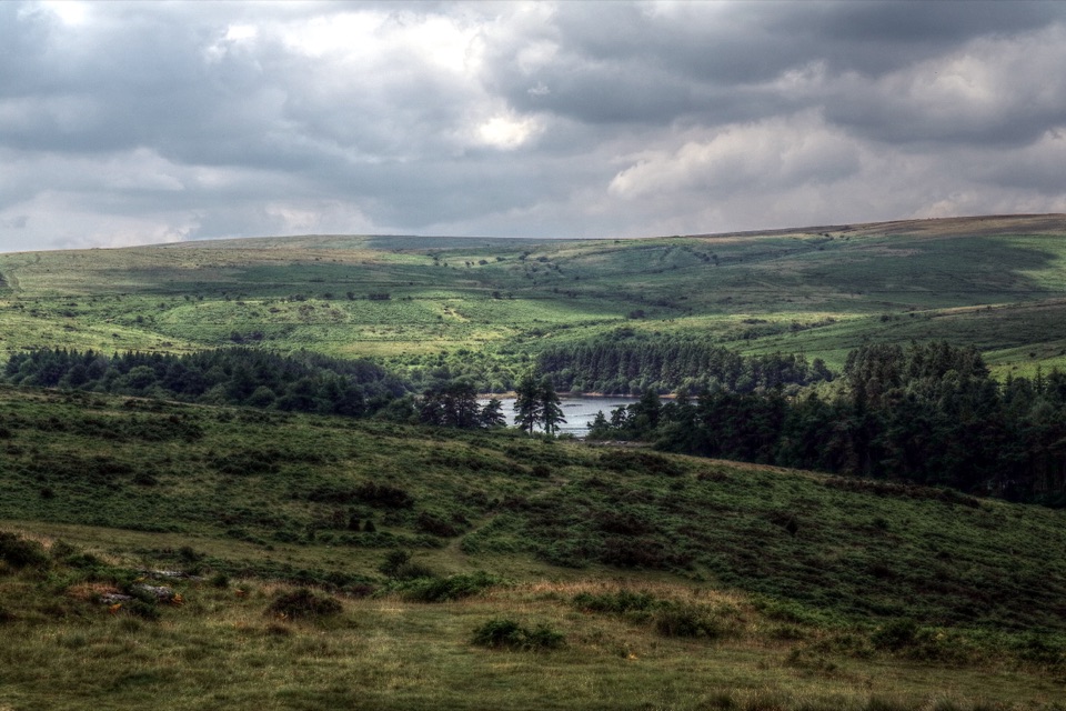 ModerateVenford Reservoir and Bench Tor Walk2.8 km · 1.5 hr · 1.6 km awayA reservoir crossing, open moor, and a granite tor above Dart Gorge.
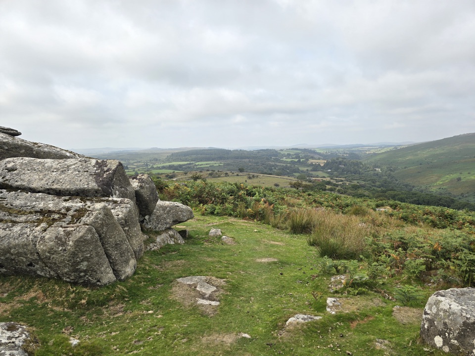 ModerateHexworthy Walk5 km · 2.5 hr · 1.6 km awayFarmsteads, tin-mill ruins and one proper moorland climb.
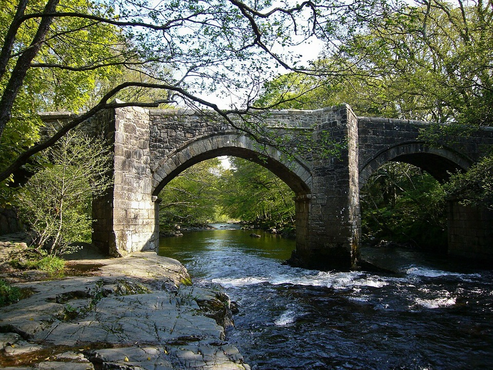 ModerateSpitchwick Manor Circular10.6 km · 3.5 hr · 4.2 km awayA riverside start leads to three high tors above Dart Gorge.
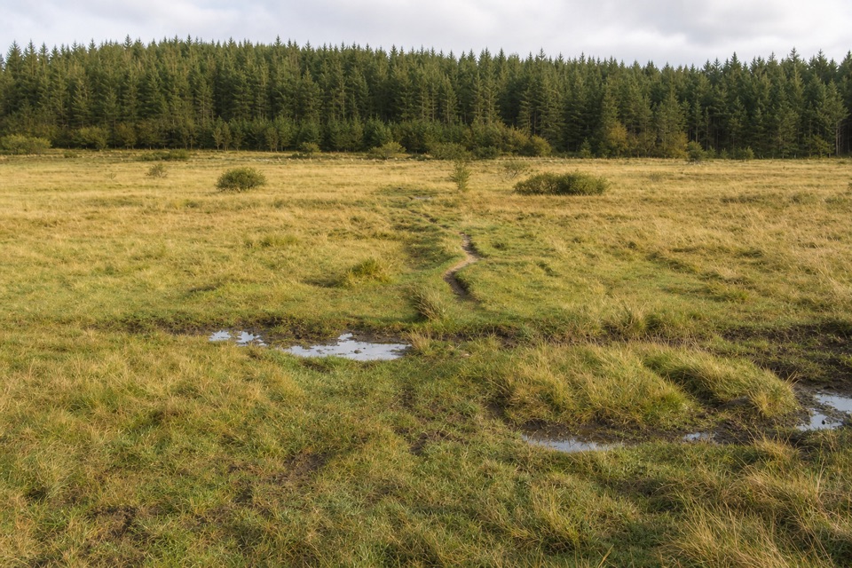 ModerateThe Lych Way20.1 km · 6.8 hr · 5.6 km awayA full-day moor crossing to an old church, with river fords.
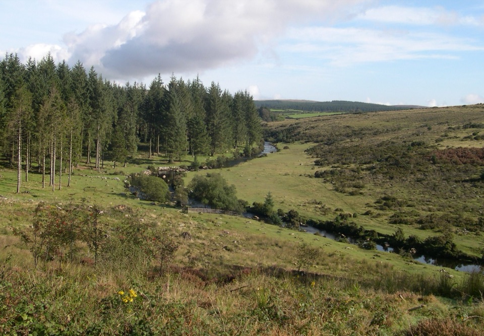 EasyBellever Forest Easy Access Trail0.6 km · 15 min · 5.6 km awayA level forest path reaches a picnic spot on the East Dart.
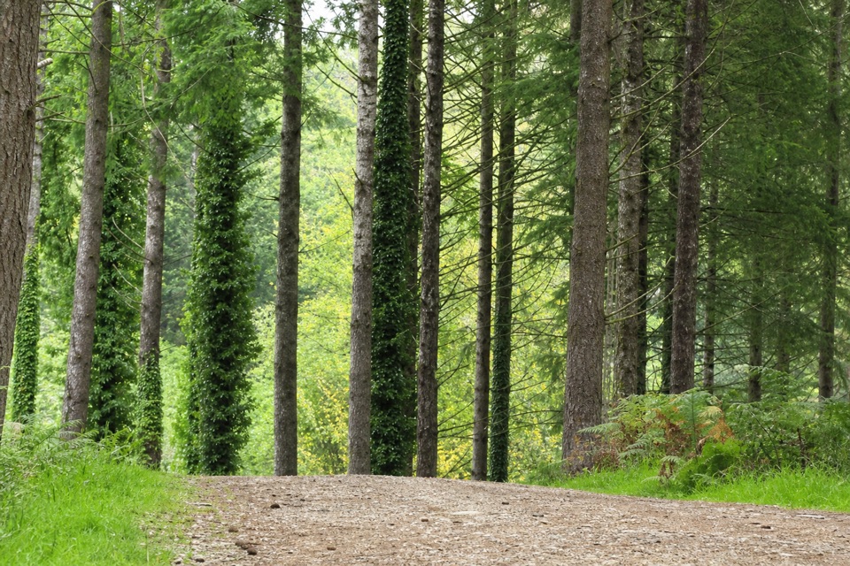 EasyCycle and Tramper Trail at Bellever Forest3.9 km · 1.5 hr · 5.6 km awayA forest loop with archaeology on mostly surfaced tracks
 EasyWistman's Wood Walk4 km · 1.3 hr · 6.9 km awayA 4 km return to a gnarled oak wood by the valley.
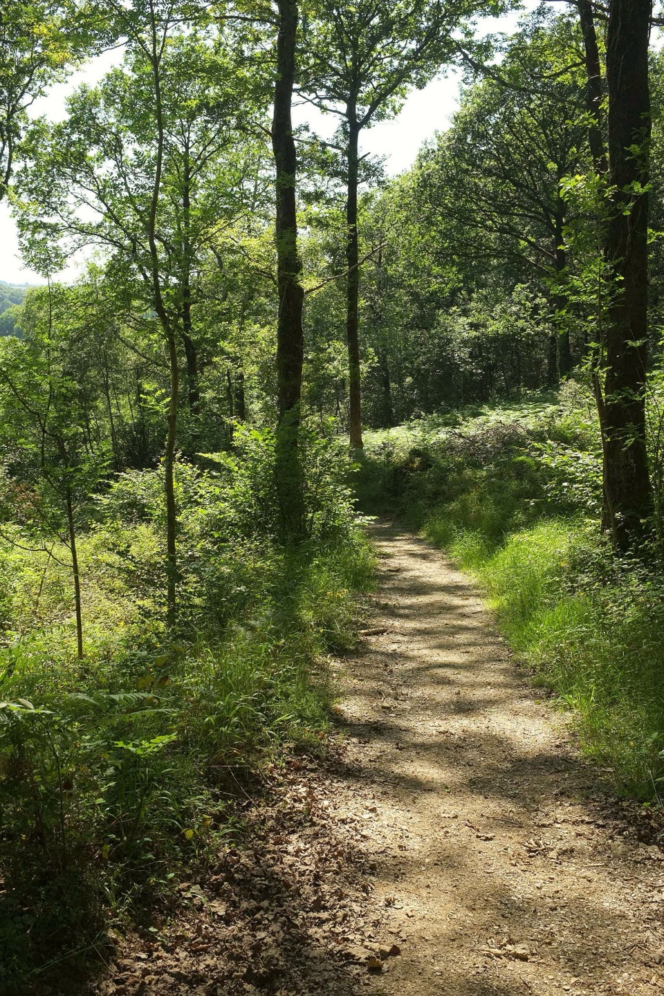 ModerateHembury Woods Walk6.6 km · 2.3 hr · 7.1 km awayA riverbank loop skirts an ancient hillfort through deep woodland.
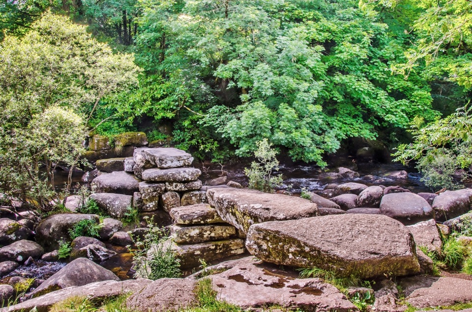 Sight · 1.4 km awayDartmeetTwo crossings beside where the East and West Dart meet.
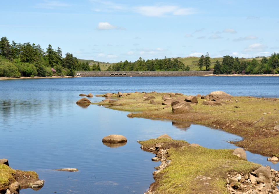 Sight · 1.6 km awayVenford ReservoirA short waterside loop with a longer moorland and gorge walk
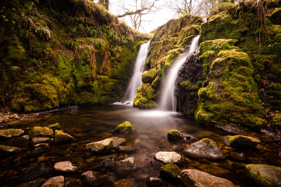 Sight · 1.9 km awayVenford FallsA tucked-away mossy cascade with a steep approach.
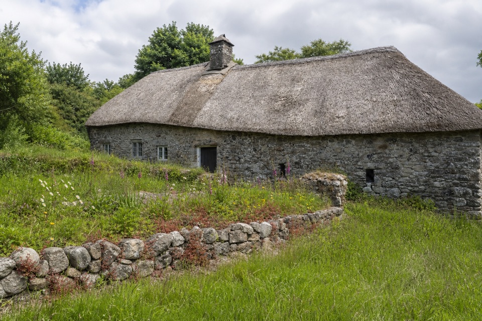 Sight · 3.3 km awayHigher UppacottA rare, intact Dartmoor longhouse with a story in every room.
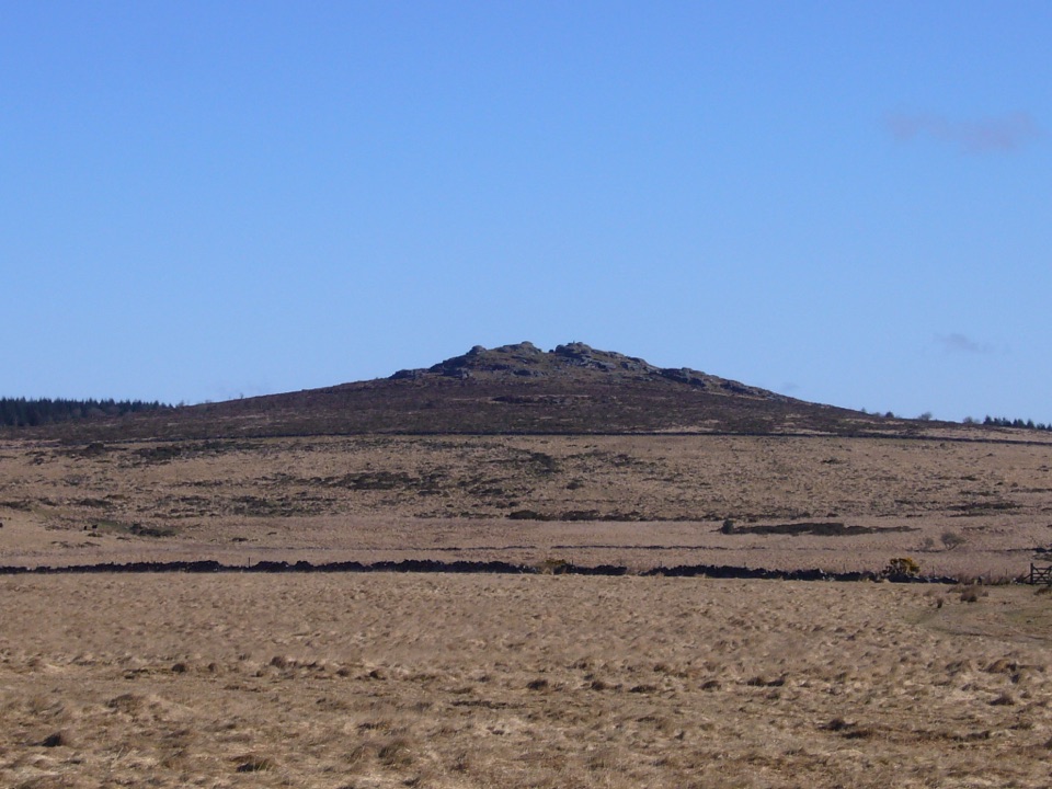 Sight · 5.3 km awayBellever TorA rocky summit walk past hut circles to an open-moor view.
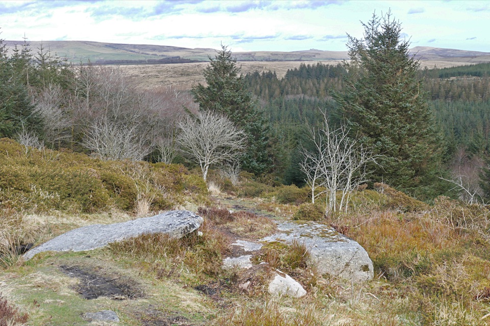 Sight · 5.6 km awayBellever ForestRiverside picnics, working woodland and Bronze Age remains.
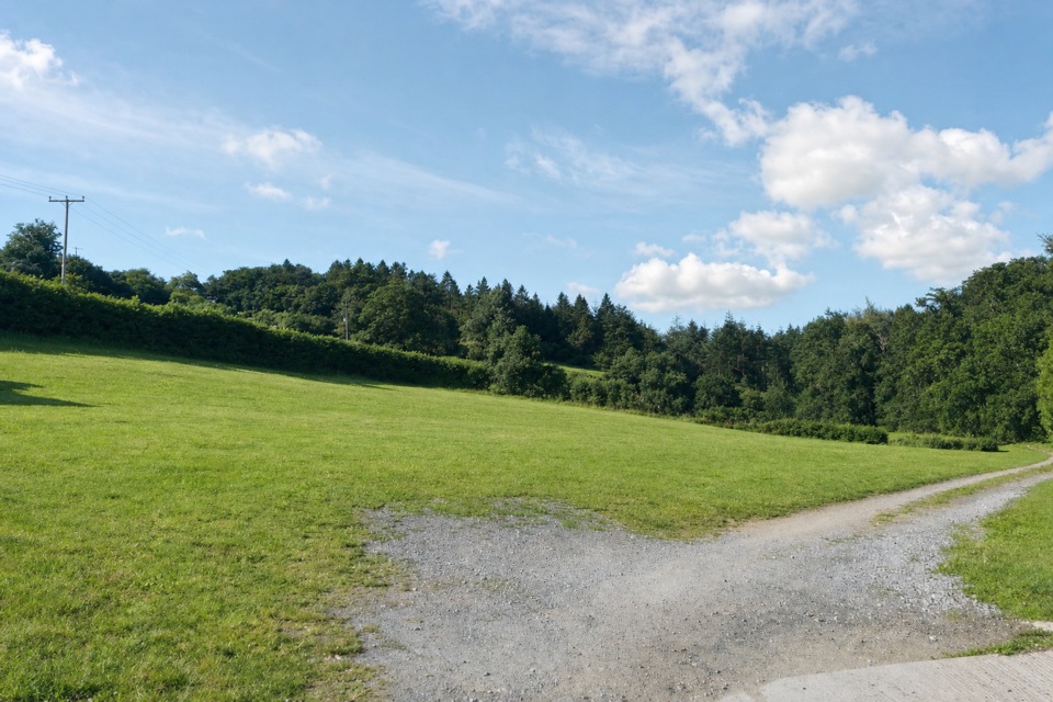 Campground · 5.6 km awayCockingford CampsiteQuiet grass pitches beside a stream, with Dartmoor walks close by.
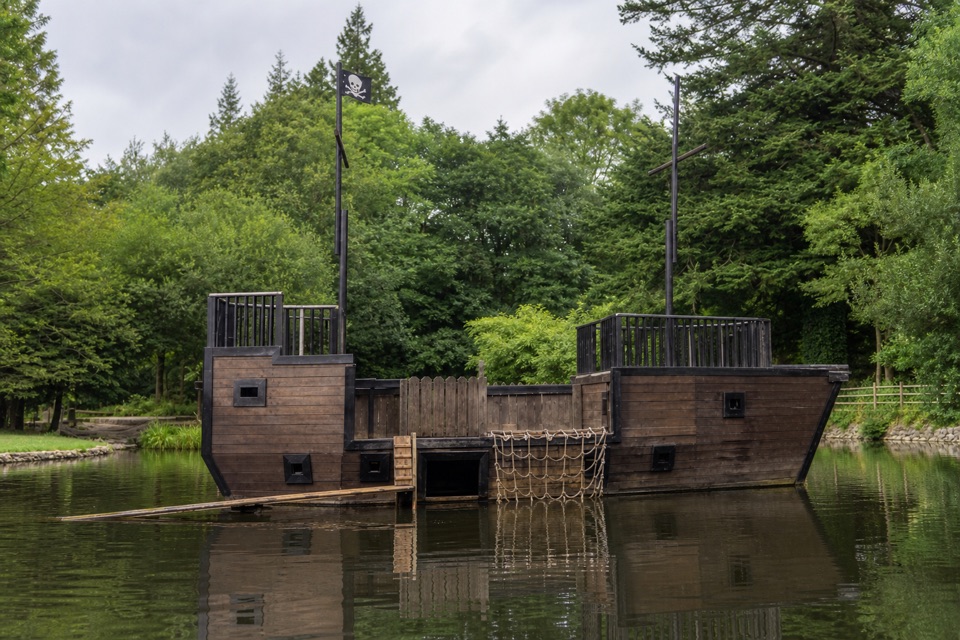 Campground · 6.4 km awayRiver Dart Country ParkA 90-acre family adventure park with lake play and camping.
Parkwolf’s Dartmoor ranking

The audio tour guide for the drive, plus offline maps, trails, and wildlife heatmaps for when the signal drops.




