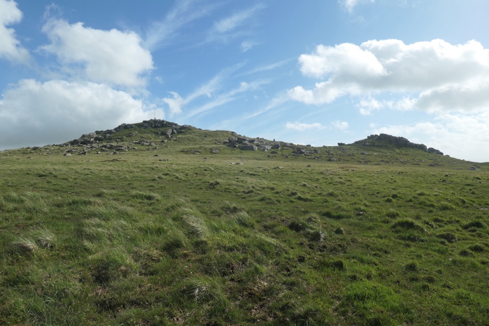
Parking
Shipley Bridge car park (SX 681 629), beside the bridge; pay and display. Public disabled toilets are next to the car park, and the route starts past the toilet block.

#6 of 54 trails in Dartmoor
Dartmoor National Park
A smooth river walk with waterfalls on the way to the dam.
Overview
Map & elevation
Plan your hike

The highest, rockiest slopes around here are a summer buffet for grizzly bears.
Dartmoor Tour Guide
Parkwolf is a GPS audio tour guide for Dartmoor National Park. As you drive, it chimes in with what’s ahead: hidden gems, upcoming stops, history, geology, and wildlife, right through your car’s speakers.
Recorded for this area
Grain, Cloth and the Avon“In South Brent, some tenants once had to take their grain to the manor mill. A lease from twelve seventy-seven says so.”
Plays on the road 2.7 km from the trailhead in the Parkwolf Dartmoor Tour Guide.
More stories near here in the app
“Fantastic app with many points of information… It’s great to just turn on while you’re driving and it gives you an audio tour of the national Park. We love it!!!!”


Trail guide
Shipley Bridge to Avon Dam is a 3.6-mile (5.8 km) out-and-back along the River Avon; you follow the same surfaced track in both directions, from Shipley Bridge to the dam and back. It’s a good choice if you want Dartmoor river scenery without a tor scramble: the National Park grades this Miles Without Stiles route “For All,” Level 1, with a wide tarmac surface and gentle gradient. The line climbs steadily to the dam, but the tread stays firm underfoot. Give yourself 1½ to 2 hours if you plan to linger by the water or stop for a picnic. If a full return walk sounds long, the two picnic spots give you simple turn-around points.
Leave Shipley Bridge car park past the toilet block; after about 20 metres, turn left onto the tarmac and stay on it. The first stretch is under trees, with little cascades beside the River Avon. The water and rock shelves are the best photo stop; frame the falling water with the wooded banks to keep the shaded, riverside feel in the picture. The first picnic table is just after a bridge at about 1 km; a second sits just before another bridge around 1.75 km. Beyond the first bridge the trees thin and the valley opens onto moorland. Keep to the broad surfaced track all the way to the base of the dam. The rougher line toward Rider’s Rings and the old tramway is a separate walk; stay on the road for the accessible route.
Avon Dam is more than a view at the end: its concrete wall was built in 1957 to supply drinking water to growing South Devon towns. From the wall, the reservoir sits in open moorland above the wooded river corridor. The River Avon begins at Avon Head Mires near Ryder’s Hill, the highest part of the southern moor, then runs roughly 25 miles to the sea at Bigbury-on-Sea. You’ve walked a short stretch of that longer southward journey. This is not a loop or a summit viewpoint, and the dam is a working piece of water infrastructure; the pleasure is the change from shaded river to open moorland and back. On the return, the cascades and picnic stops come at you in reverse.
Start at Shipley Bridge car park, grid reference SX 681 629. It is pay-and-display, with public disabled toilets beside it; no RADAR key is needed. The authority’s directions have you pass the toilet block, join tarmac after about 20 metres and turn left. There are picnic tables along the route, but no food or drinking-water stop is identified between the car park and dam. Dogs can come: keep them under close control on public rights of way and on a lead near livestock. On Access Land, use a short fixed lead of no more than 2 metres from 1 March through 31 July. The upper path is more open to the moor, while the lower valley is sheltered.
Wildlife
 32 sightingsWestern Roe DeerMost seen around 7 AMSighting map
 10 sightingsRed FoxMost seen around 7 PMSighting map
 37 sightingsEuropean RabbitMost seen around 7 AMSighting map
 19 sightingsGrey HeronMost seen around 7 PMSighting map
 34 sightingsGreat Spotted WoodpeckerMost seen around 7 AMSighting map
 20 sightingsCommon RavenMost seen around 8 AMSighting map
Sighting maps show where each species has been reported across Dartmoor. Wildlife moves, so no sighting is guaranteed.
Keep exploring
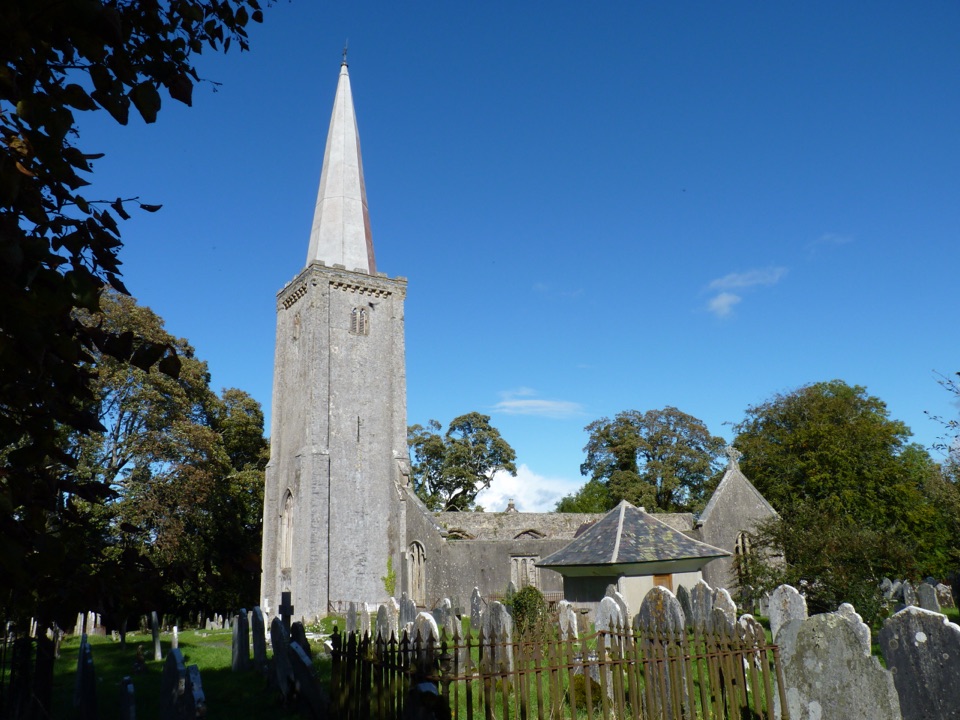 ModerateBuckfastleigh Walk5.8 km · 3.5 hr · 6.6 km awayA long stairway links Lower Town with Holy Trinity above Buckfastleigh.
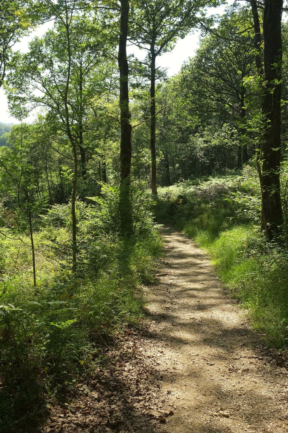 ModerateHembury Woods Walk6.6 km · 2.3 hr · 7.1 km awayA riverbank loop skirts an ancient hillfort through deep woodland.
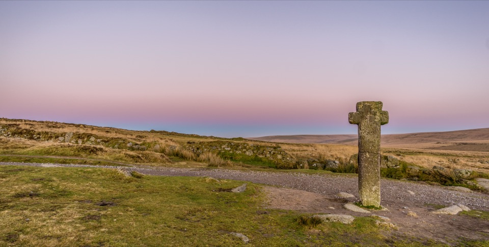 ChallengingAbbot's Way34.9 km · 11 hr · 7.4 km awayA full-day crossing of open Dartmoor between two abbeys.
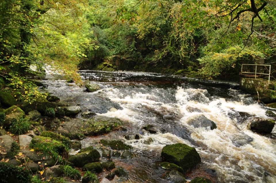 EasyLongtimber Woods Walk2 km · 36 min · 7.5 km awayA gentle riverside path to pools and picnic benches.
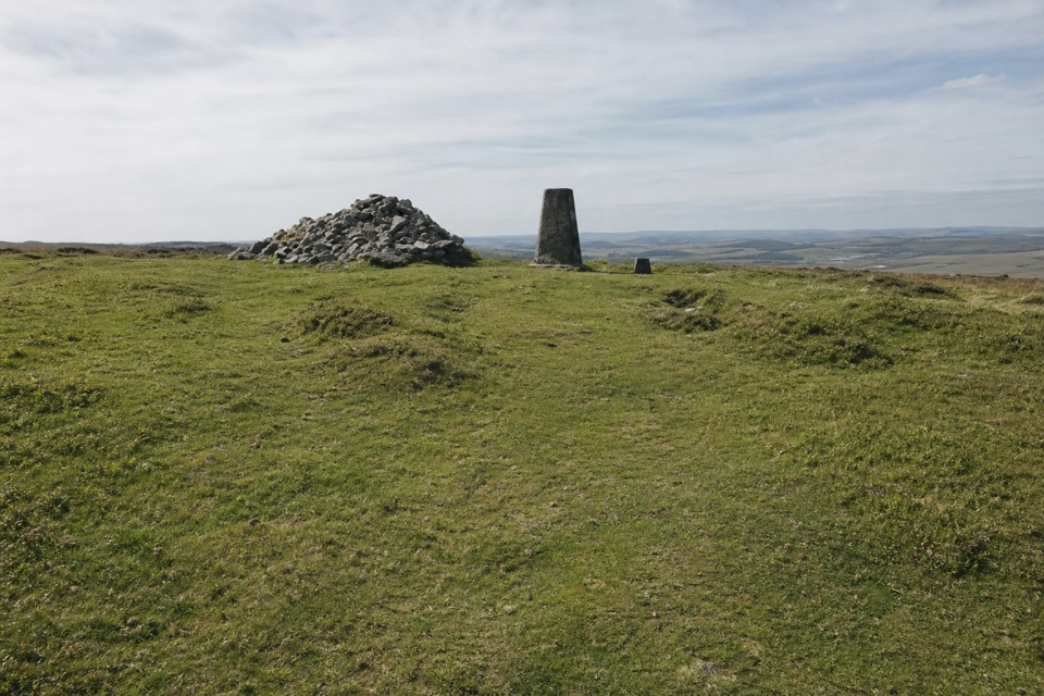 ChallengingTwo Moors Way (Dartmoor section)55.8 km · 17 hr · 8 km awayA 34.7-mile crossing from railway moorland to river gorge
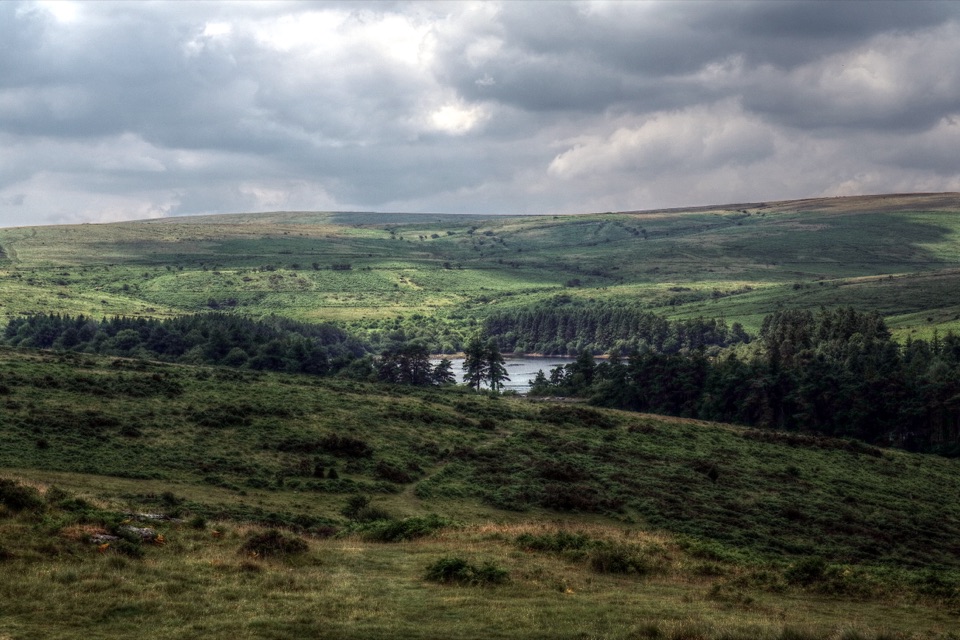 ModerateVenford Reservoir and Bench Tor Walk2.8 km · 1.5 hr · 8.4 km awayA reservoir crossing, open moor, and a granite tor above Dart Gorge.
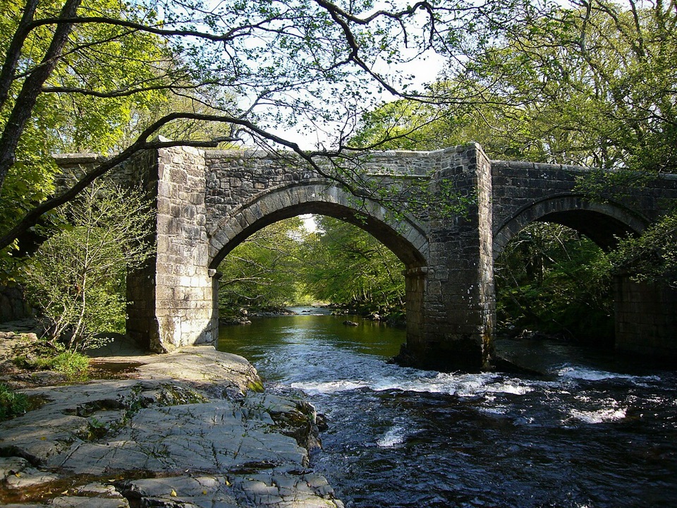 ModerateSpitchwick Manor Circular10.6 km · 3.5 hr · 8.5 km awayA riverside start leads to three high tors above Dart Gorge.
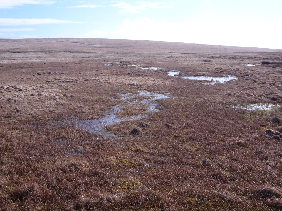 ModerateCombestone Tor to Aune Head Mire8.5 km · 3.8 hr · 8.9 km awayFind the Avon’s source among open pools and peat.
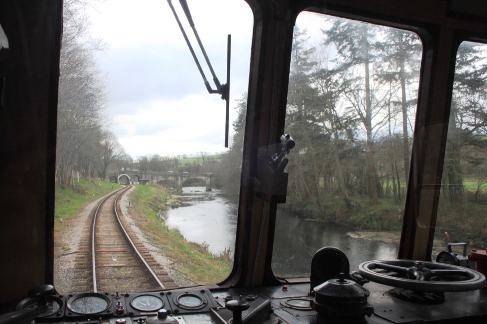 Sight · 7.4 km awaySouth Devon RailwaySteam, small stations and a river valley make a full-day outing.
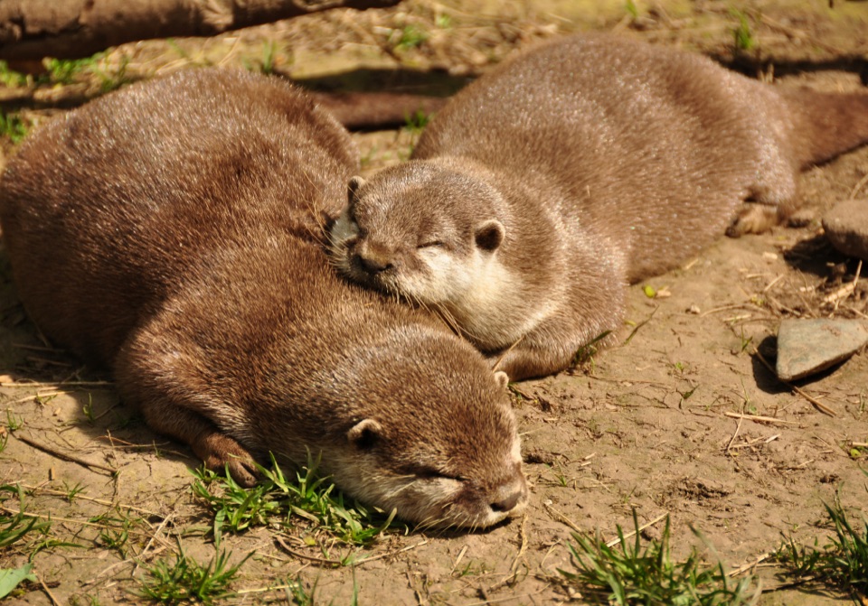 Sight · 7.4 km awayBuckfast Butterfly Farm and Dartmoor Otter SanctuaryButterflies fly free; watch otters swim through the underwater window.
 Sight · 7.5 km awayBuckfast AbbeyA working monastery with a vivid glass chapel and gardens.
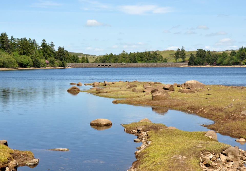 Sight · 8.4 km awayVenford ReservoirA short waterside loop with a longer moorland and gorge walk
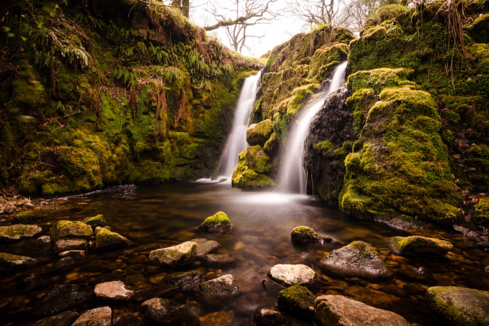 Sight · 8.8 km awayVenford FallsA tucked-away mossy cascade with a steep approach.
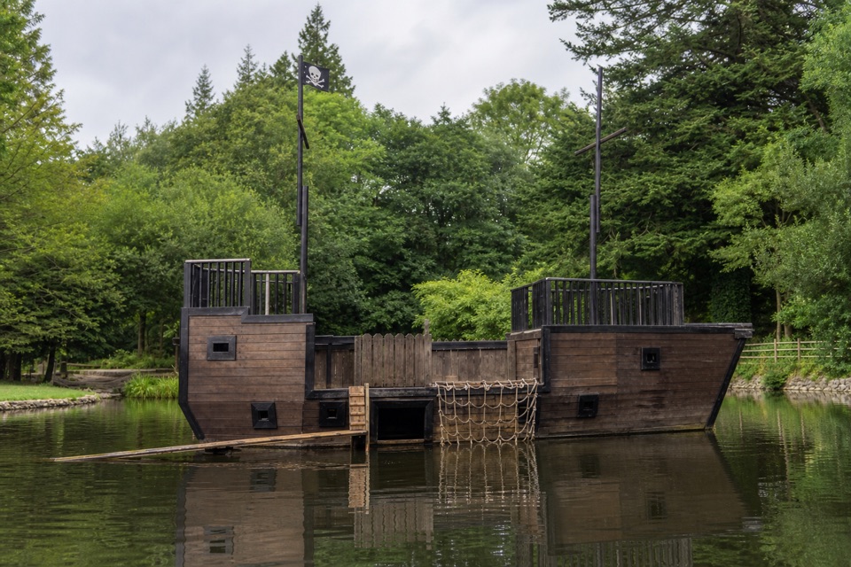 Campground · 8.9 km awayRiver Dart Country ParkA 90-acre family adventure park with lake play and camping.
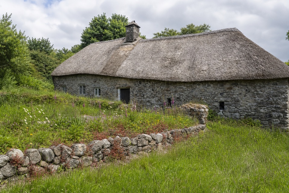 Sight · 10.2 km awayHigher UppacottA rare, intact Dartmoor longhouse with a story in every room.
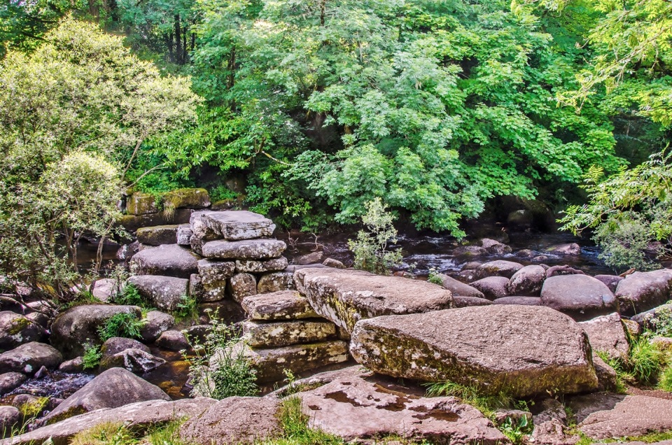 Sight · 10.3 km awayDartmeetTwo crossings beside where the East and West Dart meet.
Parkwolf’s Dartmoor ranking

The audio tour guide for the drive, plus offline maps, trails, and wildlife heatmaps for when the signal drops.