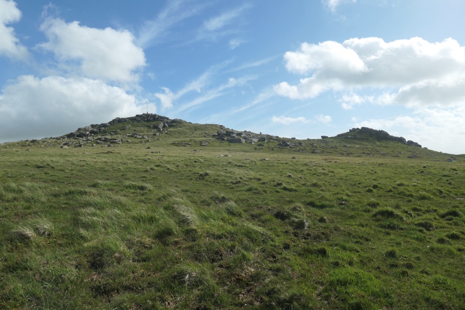
Parking
Start at the roadside parking just west of Burrator Dam on the reservoir’s south side. Burrator Quarry car park is a separate nearby option with a short approach on public roads and paths.

#3 of 54 trails in Dartmoor
Dartmoor National Park
Two dams, a wooded shoreline and a stone bridge in one loop.
Overview
Map & elevation
Plan your hike

The highest, rockiest slopes around here are a summer buffet for grizzly bears.
Dartmoor Tour Guide
Parkwolf is a GPS audio tour guide for Dartmoor National Park. As you drive, it chimes in with what’s ahead: hidden gems, upcoming stops, history, geology, and wildlife, right through your car’s speakers.
Recorded for this trailhead
Burrator Reservoir and the Old Settlement“You're coming up on Burrator Reservoir, where wooded shores sit below open moor and granite tors. For a photo, frame the stone arches of the dam with their reflection when the water is still.”
Plays as you drive up to this trailhead in the Parkwolf Dartmoor Tour Guide.
More stories near here in the app
“Fantastic app with many points of information… It’s great to just turn on while you’re driving and it gives you an audio tour of the national Park. We love it!!!!”


Trail guide
Burrator Reservoir Circular Walk is a 3.9-mile loop from Burrator Dam around the reservoir, usually a 1½–2 hour outing. It crosses both dam walls, skirts the water through woodland, passes Longstone Manor and Norsworthy Bridge, then returns to the south-side start. Choose it for several different kinds of scenery in one compact circuit: stonework and water, old ruins, roots and short road walks. It is gentle compared with a moorland climb, but the path is not a smooth, even lakeside promenade.
Start at the roadside parking just west of Burrator Dam and cross the first wall before picking up the path around the water. A gate leads onto Sheepstor Dam, where the reservoir opens out beside you. The track then turns north through woodland and follows the shore toward Longstone Manor. Dirt, gravel, exposed rock and roots alternate; roots make a few narrow sections uneven, and rain can leave them muddy. The reservoir view comes and goes through the trees. Where the shore opens, Sheepstor rises beyond the water. Longstone Manor’s stone ruins sit beside the path, a reminder of the settlement that stood here before the reservoir was built. Bluebells can add a brief splash of colour in the woods in spring.
Near the northeast corner, the route reaches Narrator Brook and the River Meavy, then Norsworthy Bridge. The stone bridge is a clear halfway landmark. From here, follow the river back toward the reservoir and continue along the opposite shore. This side also shifts between water-edge path and wooded track; streams cross the route, and the roots and stones need more attention than the gentle overall grade suggests. There are several short road sections and one longer stretch beside a road, so expect breaks in the lakeside path. At a T junction after the bluebell woods, take the stile and road to the right; the grassy-looking left branch is a dead end. A low shoreline section can be underwater when the reservoir is high, with a road bypass to rejoin the path. A short uphill spur near the finish reaches an open bench above the dam and water, but it adds a climb and is outside the mapped loop. From the dam, frame the stone arches with their reflection for the clearest view of the structure.
Use the roadside parking on the south side of Burrator Dam; Burrator Quarry car park is a separate nearby option, and Norsworthy Bridge has another access point if you prefer to join the circuit there. Public toilets are near the dam at Burrator Discovery Centre. Dogs are allowed on this route but should be kept on a lead. The loop is mostly level, with no summit scramble, though the rough footing, stream crossings and wet woodland can slow you down. The reservoir was completed in 1898 to supply drinking water to Plymouth and nearby towns; the dam walls are the walk’s most distinctive landmarks. There is no dependable food stop on the circuit, so treat any van near the dam or bridge as a bonus rather than part of the plan.
Wildlife
 32 sightingsWestern Roe DeerMost seen around 7 AMSighting map
 10 sightingsRed FoxMost seen around 7 PMSighting map
 37 sightingsEuropean RabbitMost seen around 7 AMSighting map
 19 sightingsGrey HeronMost seen around 7 PMSighting map
 34 sightingsGreat Spotted WoodpeckerMost seen around 7 AMSighting map
 20 sightingsCommon RavenMost seen around 8 AMSighting map
Sighting maps show where each species has been reported across Dartmoor. Wildlife moves, so no sighting is guaranteed.
Keep exploring
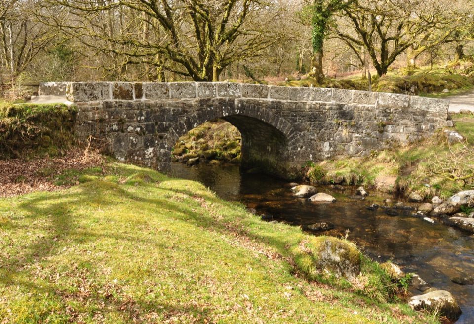 EasyNorsworthy Bridge to Deancombe2.6 km · 1.5 hr · 2.2 km awayA short gravel walk to a ruined farmstead above Narrator Brook.
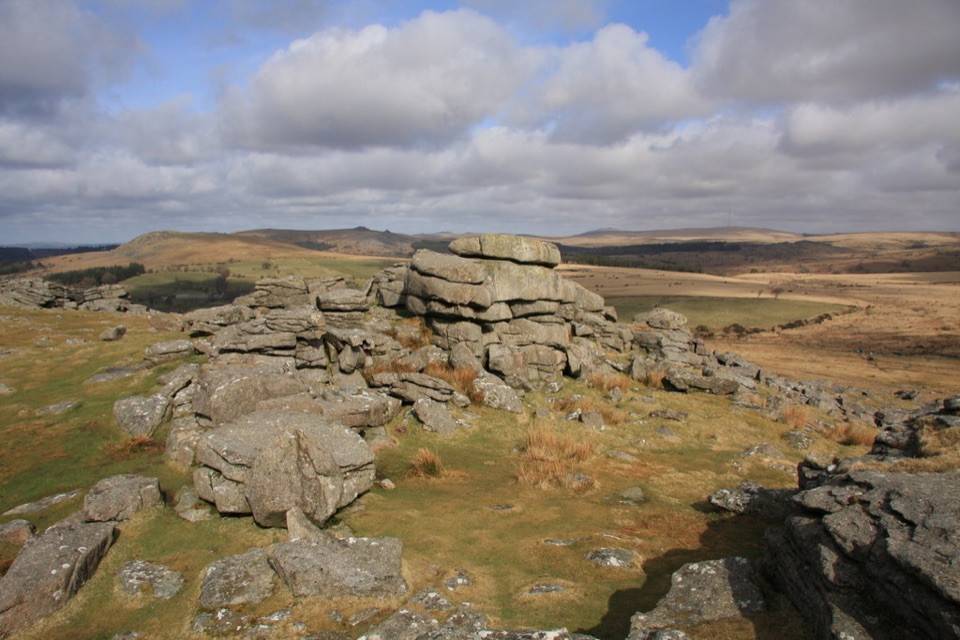 ModerateGutter Tor Walk6.4 km · 2.5 hr · 2.9 km awayA moorland loop for granite tors, warrens, and prehistoric stone rows.
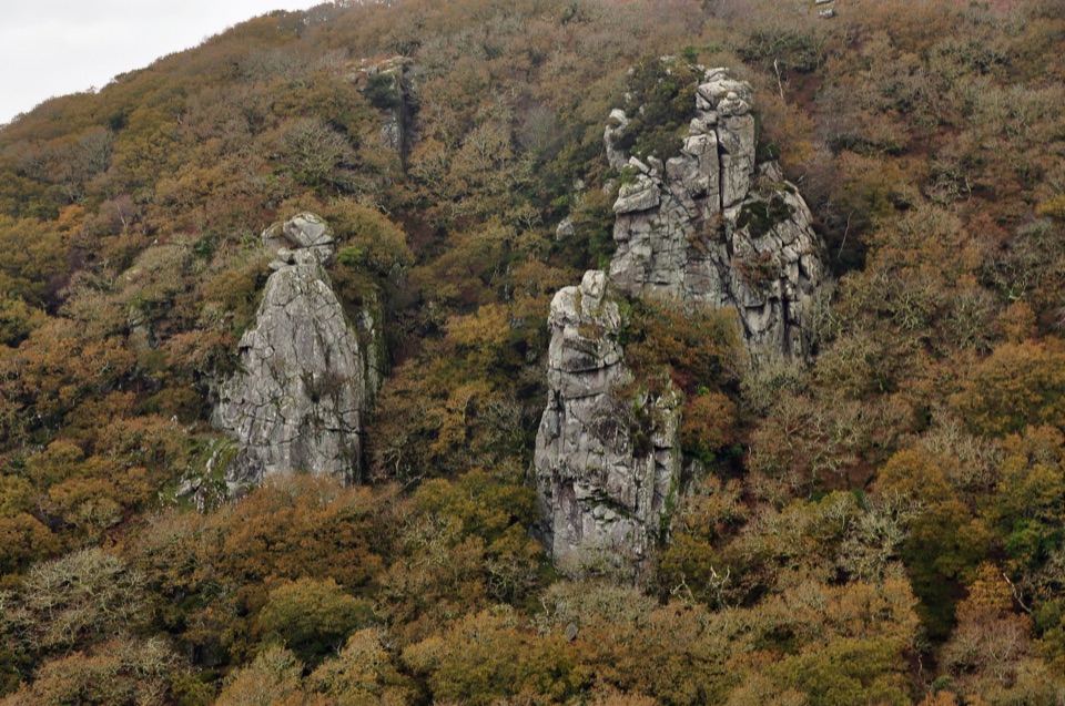 ChallengingCadover Bridge and Dewerstone Rock Circular Walk6.3 km · 2.8 hr · 3.5 km awayA steep river loop that earns its Dewerstone ridge views.
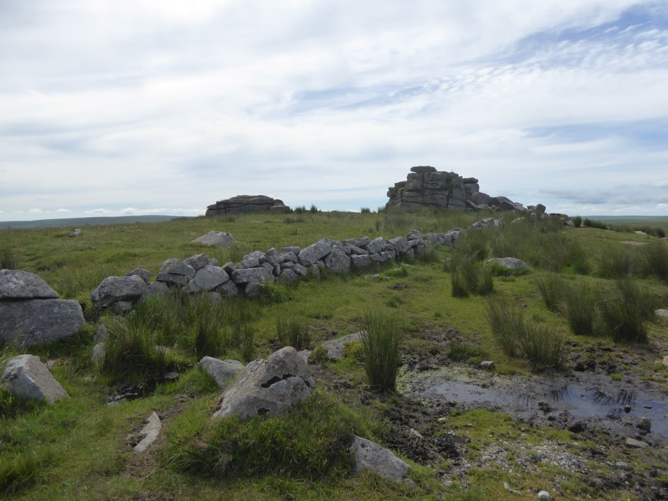 EasyPrincetown Walk to South Hessary Tor3 km · 1 hr · 6.7 km awayA gentle moorland walk to a granite tor above Princetown.
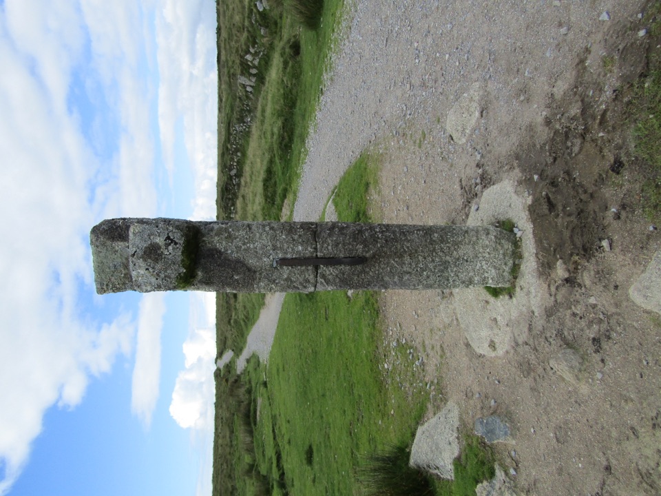 ModeratePrincetown to Nun’s Cross Walk8 km · 2.3 hr · 6.7 km awayA gravel track across open moor to a wayside cross.
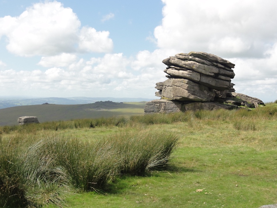 ModerateLittle Mis Tor and Great Mis Tor Walk4.8 km · 1.8 hr · 7 km awayTwo tors, a stone track, and a rocky summit above open moor.
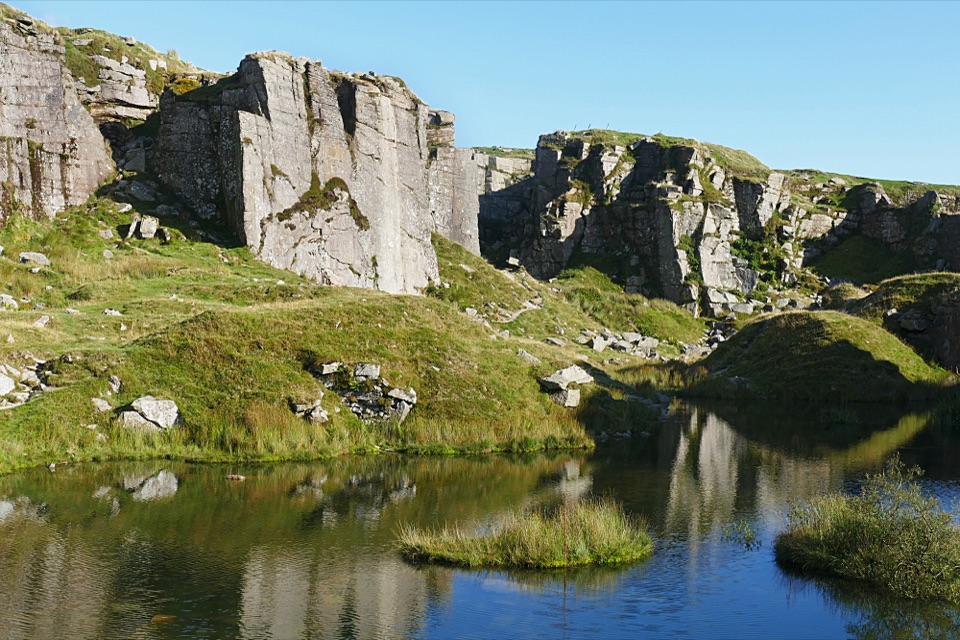 EasyFoggintor Quarry Walk2.9 km · 1 hr · 7.1 km awayMoorland track leads to still water beneath towering quarry walls.
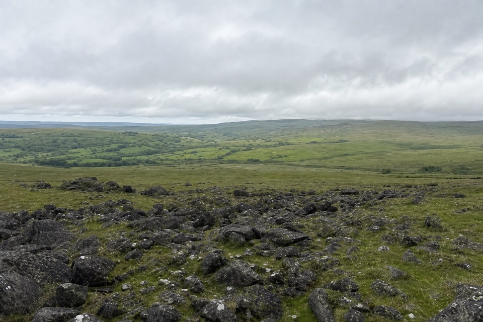 ModerateWhite Tor Walk10.3 km · 3.5 hr · 7.3 km awayA rough moorland loop across three Staple tors to White Tor’s hillfort.
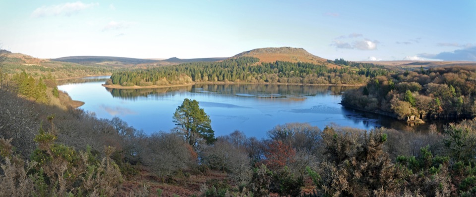 Sight · 0.5 km awayBurrator ReservoirA gentle circuit below moorland tors and wooded shores.
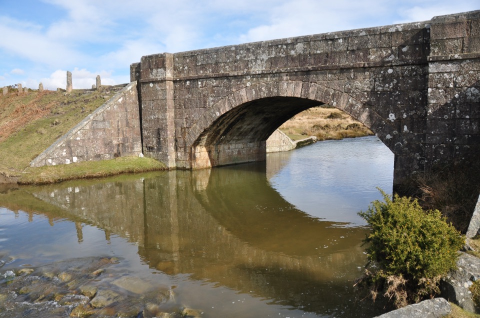 Sight · 3.4 km awayCadover BridgeA riverside bridge that opens onto a longer moorland walk
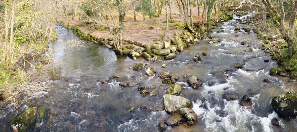 Sight · 4.7 km awayShaugh BridgeTwo rivers meet below granite crags and old workings.
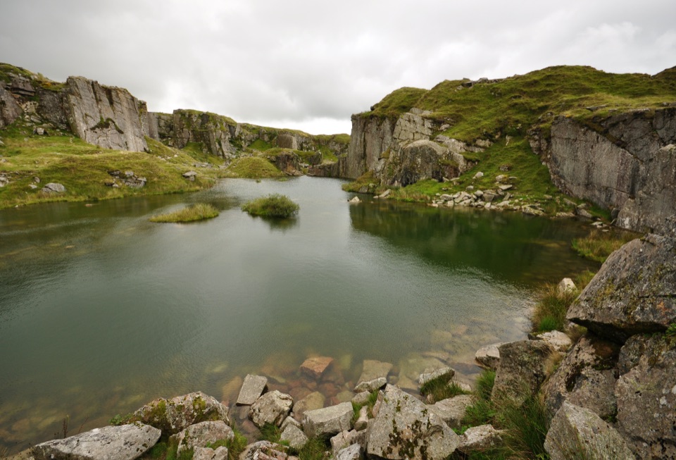 Sight · 5.8 km awayFoggintor QuarryA flooded granite pit wrapped in towering cut-stone walls.
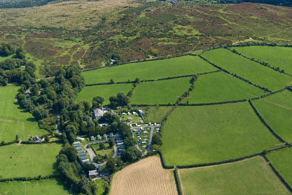 Campground · 6.3 km awayLangstone Manor Holiday ParkForty touring pitches and a manor-house restaurant on Dartmoor’s edge.
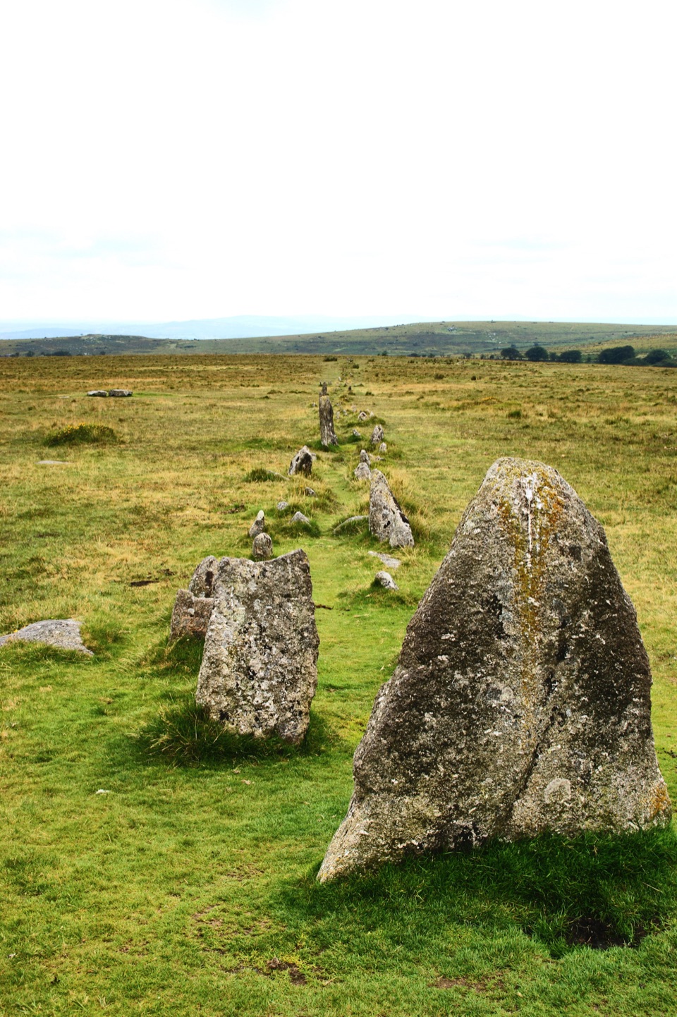 Sight · 6.8 km awayMerrivale Prehistoric SettlementLong stone rows and dozens of Bronze Age house sites to explore.
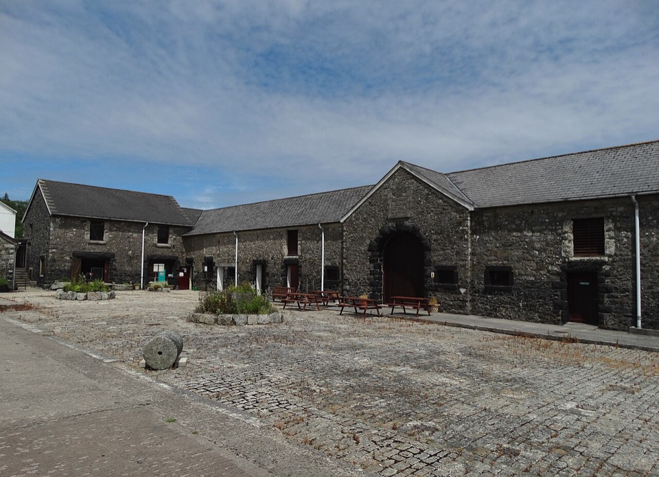 Sight · 7 km awayDartmoor Prison MuseumObjects and cell displays bring Dartmoor’s prison history close.
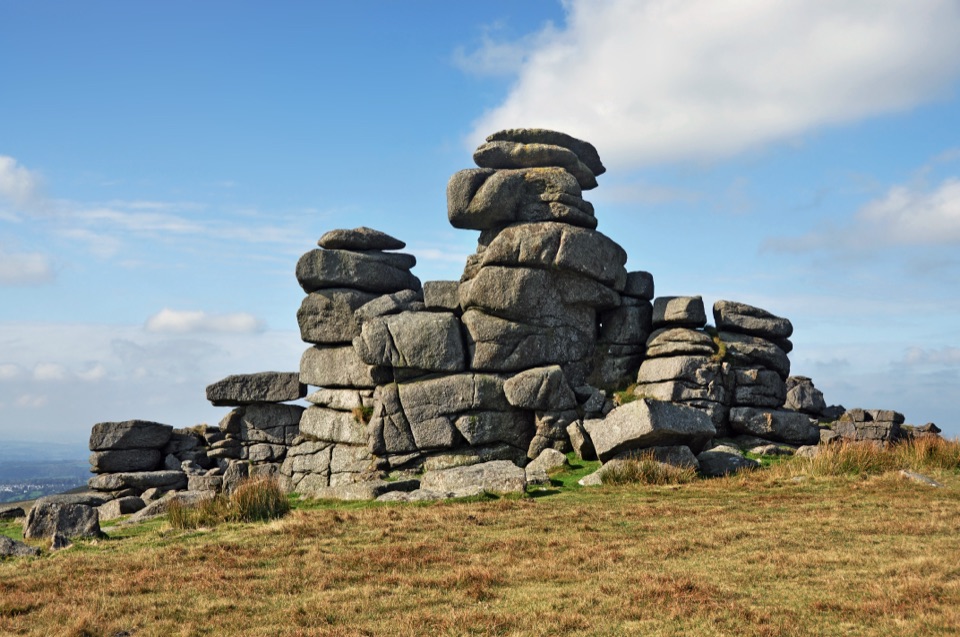 Sight · 8 km awayGreat Staple TorA narrow granite avenue with wide moorland views.
Parkwolf’s Dartmoor ranking

The audio tour guide for the drive, plus offline maps, trails, and wildlife heatmaps for when the signal drops.