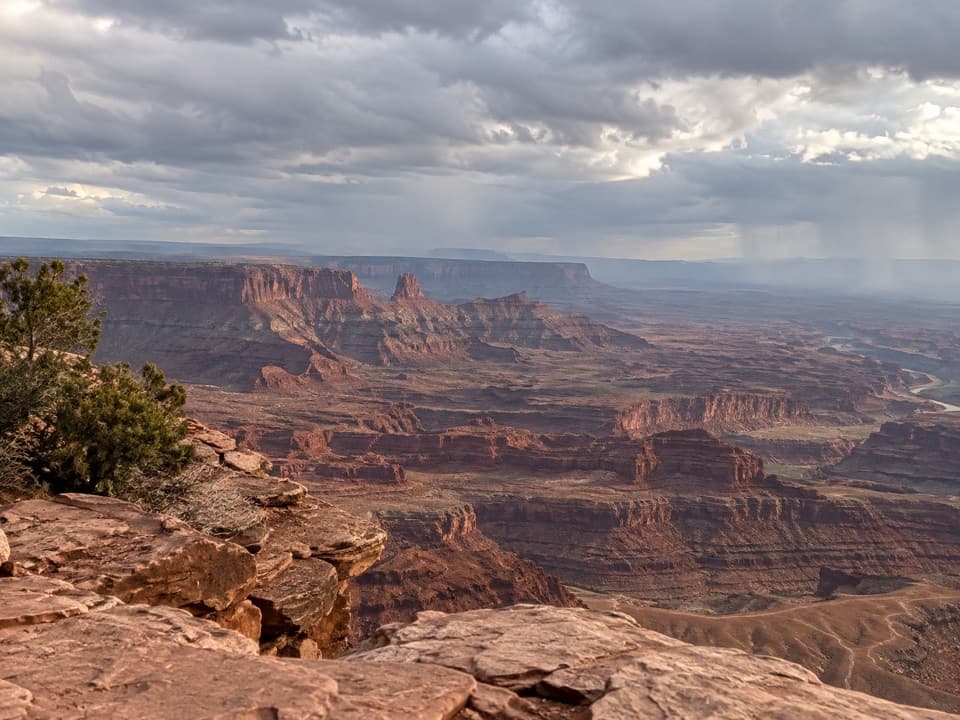
Overview
About Basin Overlook
Why stop
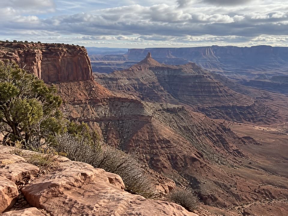
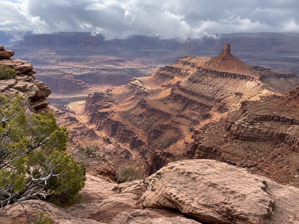
- Pyramid Butte and Chimney Rock stand out across the basin.
Heads up
- The spur drops roughly 100 feet, so you climb back out.
Map
Where it is

The highest, rockiest slopes around here are a summer buffet for grizzly bears.
Dead Horse Point Tour Guide
Your drive to Basin Overlook, narrated.
Parkwolf is a GPS audio tour guide for Dead Horse Point State Park. As you drive, it chimes in with what’s ahead: hidden gems, upcoming stops, history, geology, and wildlife, right through your car’s speakers.
Recorded for this place
Visitor Center Rim Trails“You're nearing the visitor center's rim-trail access, where the East and West Rim trails make a half-day loop to Dead Horse Point.”
Plays as you drive up to Basin Overlook in the Parkwolf Dead Horse Point Tour Guide.
More stories near here in the app
- Wingate Campground and Yurts
- Kayenta Campground
- Dead Horse Point Overlook
- Visitor Center and Desert View
- 11 audio storiesacross Dead Horse Point’s roads, triggered by GPS as you drive
- Wildlife heatmapsfor Raven, Whiptail Lizard, Fence Lizard, and 1 more
- Works offlinemaps, 21 trails, 22 places, and audio download before you lose signal
- CarPlay readysimple controls built for the drive
“Fantastic app with many points of information… It’s great to just turn on while you’re driving and it gives you an audio tour of the national Park. We love it!!!!”


Guide
More about Basin Overlook
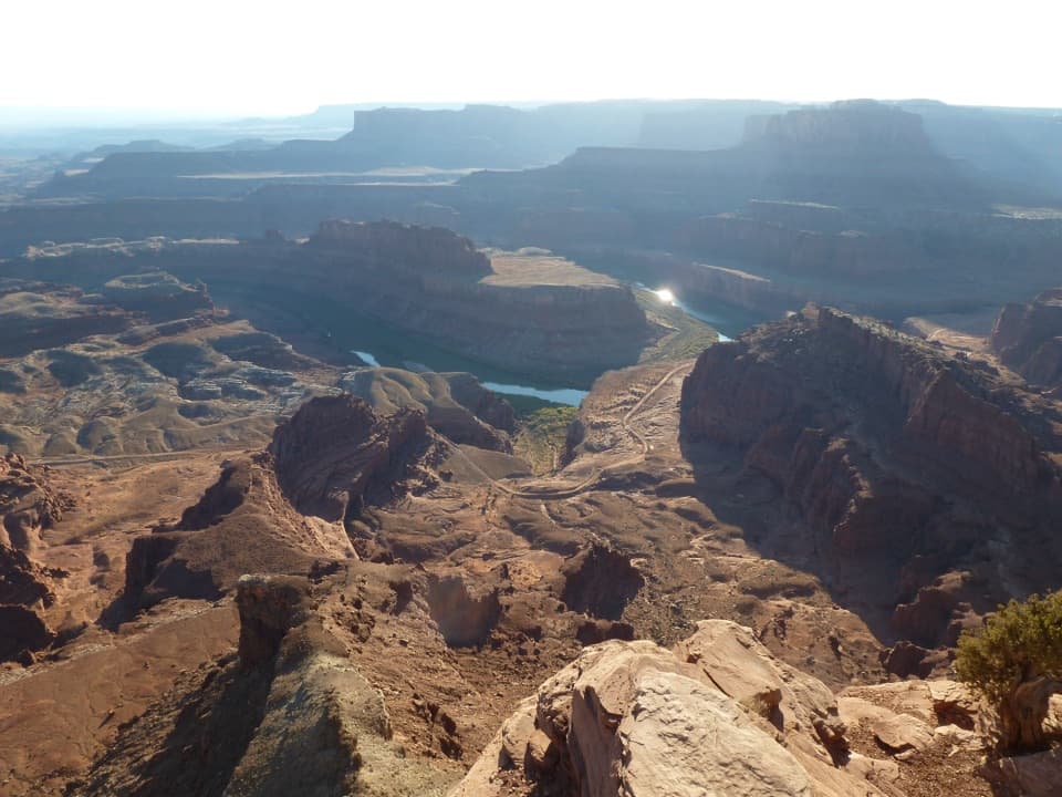
Walk down to the shelfBasin Overlook is a small shelf viewpoint below the East Rim of Dead Horse Point State Park.
Basin Overlook is a small shelf viewpoint below the East Rim of Dead Horse Point State Park. Follow the East Rim Trail to its spur; the spur adds about half a mile and drops roughly 100 feet. It feels different from the mesa-top overlooks, but you climb that drop on the way back. I’d take it if you want a closer look into the basin and don’t mind another up-and-down.
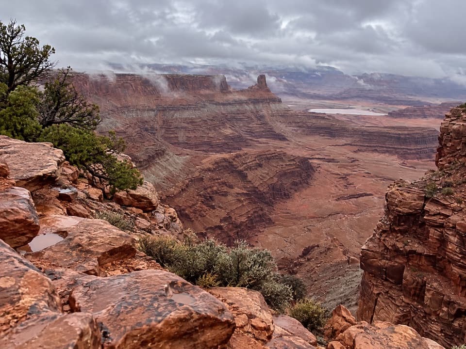
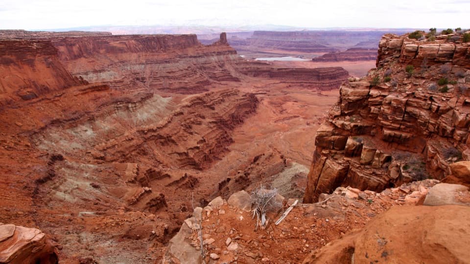
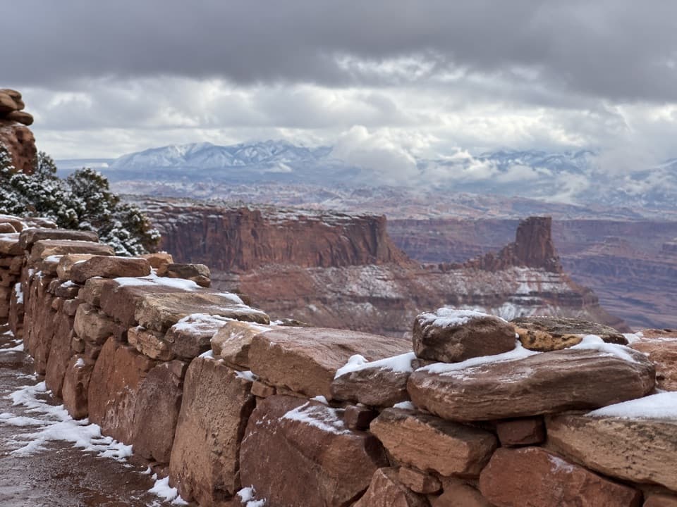
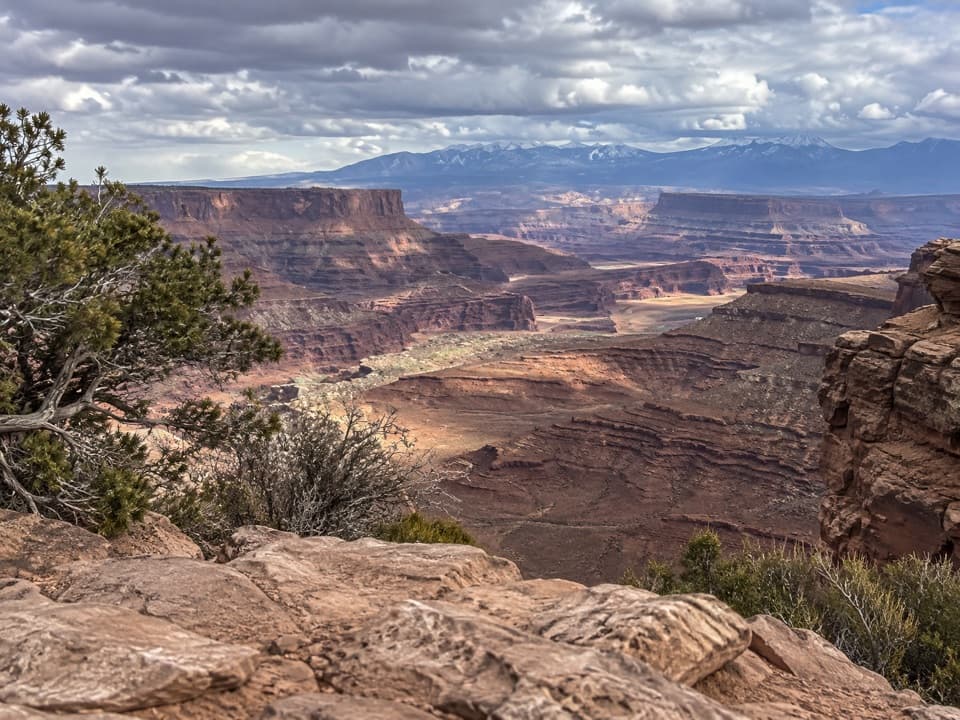
Look across the basinPyramid Butte and Chimney Rock stand out from the shelf, with the La Sal Mountains and distant…
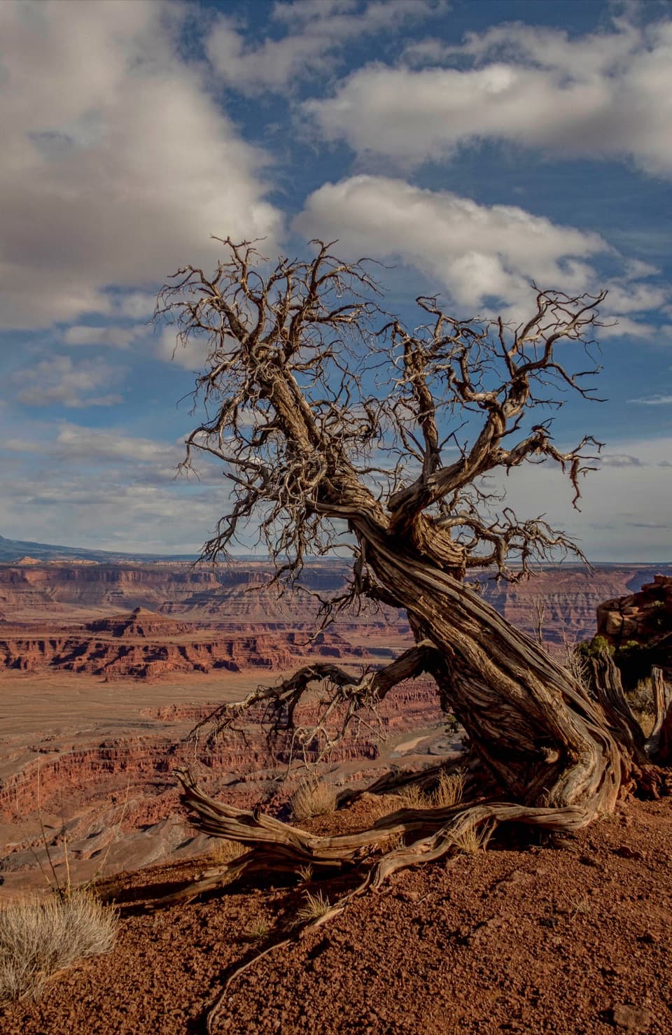
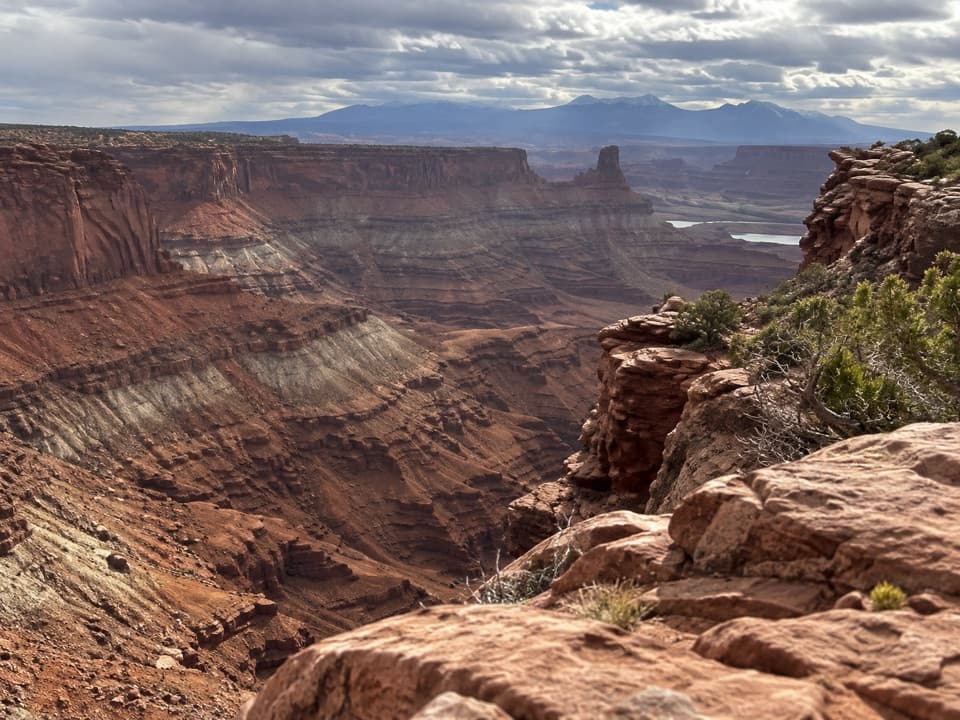
Pyramid Butte and Chimney Rock stand out from the shelf, with the La Sal Mountains and distant Arches country beyond. The view opens across layers of red-rock canyon country, so leave time to pick out the different ridges instead of turning around after one quick look. For a photo, keep a little near red rock in the foreground; it gives the buttes and mountains more scale.
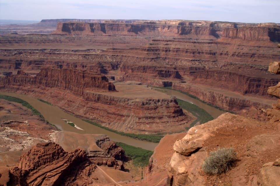
The ponds have a jobThe ponds in the basin are solar evaporation ponds used for salt and potash mining.
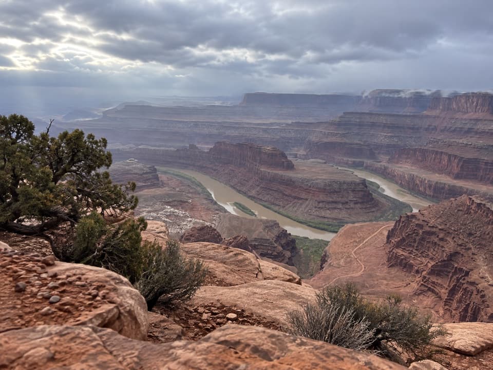
The ponds in the basin are solar evaporation ponds used for salt and potash mining. They’re part of the view from here, adding a working landscape to the red rock. If you’re expecting nothing but untouched canyon, that industrial pattern may pull your eye; it’s also one of the details that makes this side of the park distinct.
Red rock and high mountainsThe canyon’s exposed layers began as sediments from ancient oceans, freshwater lakes, streams,…
The canyon’s exposed layers began as sediments from ancient oceans, freshwater lakes, streams, and wind-blown dunes. The La Sal Mountains formed through igneous activity and rise above those sedimentary layers like blue islands on the horizon. From this shelf, the contrast between the mesa’s cut rock and the distant mountains is easy to read.
Wildlife
Wildlife in Dead Horse Point
 33 sightingsRavenMost seen around 6 PMSighting map
 16 sightingsWhiptail LizardMost seen around 10 AMSighting map
 34 sightingsFence LizardMost seen around 8 AMSighting map
 42 sightingsSide-blotched LizardMost seen around 9 AMSighting map
Sighting maps show where each species has been reported across Dead Horse Point. Wildlife moves, so no sighting is guaranteed.