Chloride City in Death Valley National Park

Sight · Death Valley National Park

Chloride City

Rugged ghost town ruins with huge views near Chloride Cliff

Overview

About Chloride City

Chloride City is a remote ghost town tucked into the northern Funeral Mountains on the park’s east side. It pairs evocative mining-era ruins with big panoramas from nearby Chloride Cliff. If you like rugged history, solitude, and wide-open views, this is your kind of detour; if you’re after quick roadside sights, you can skip it.

Why stop

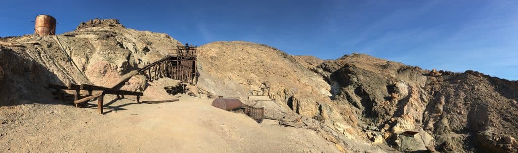
  • Atmospheric mining ruins, including stamp mill remains and a marked grave
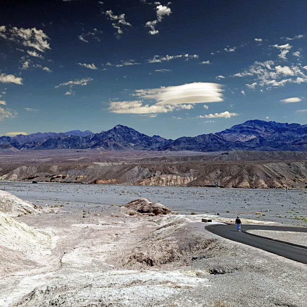
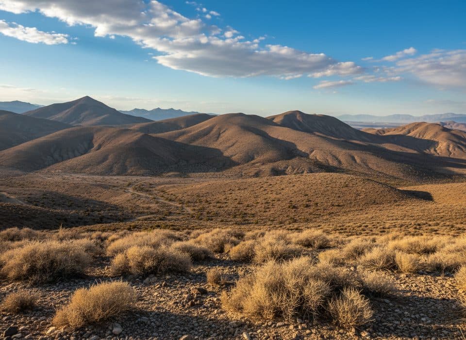
  • Sweeping views nearby from Chloride Cliff over Death Valley

Heads up

  • Rough backcountry access requiring high‑clearance 4WD
  • Open mine shafts and no services on site
For history buffs, off-road explorers, and photographers, yes—this is a rewarding, uncrowded slice of Death Valley’s mining past with grand views close at hand. If you’re on a tight schedule or uncomfortable with rough roads, prioritize more accessible highlights and save this one for another trip.
Parkwolf’s verdictIs It Worth It?

Map

Where it is

Loading the Death Valley map
Full map
SightChloride City36.70234, -116.88219
Keep this map with you offline in the Parkwolf app

Local know-how

Tips for visiting Chloride City

  1. Use a high-clearance 4WD and carry a full-size spare tire and tools.

  2. Bring all the water and food you’ll need; there are no services.

  3. Combine the ruins with a quick hop to Chloride Cliff for the best views and light.

  4. Stay clear of open shafts and unstable structures, and watch for snakes.

  5. Avoid the midday summer heat; spring and fall mornings are ideal.

Plan your stop

Before you go

Best time to visit

Spring and fall bring the most forgiving temperatures for both the drive and exploring on foot. Aim for morning or late afternoon for softer light on the ruins and the best photography at the cliff overlooks. Crowds are typically minimal at all times. Summer heat can be severe; winters can be chilly and windy at elevation.

Getting There

Access is via Chloride Cliff (Chloride City) Road on the east side of the park near the Nevada border. This is an adventurous, unpaved backcountry route—expect rocky, rutted sections and some steep stretches. A high-clearance 4WD is the right tool here. There are no facilities, no formal parking, and no services; plan to be fully self-sufficient.

3 active Death Valley alerts

  • ClosurePark roads closed or hazardousPlan around multiple closed roads and use extra caution on damaged routes. - Paved roads: North Highway and Beatty Cut-off are closed due to flooding and debris from the October 22 storm.Official details
  • ClosureSaline Valley Lower Springs closed after wildfireLower Springs at Saline Valley Warm Springs remains closed after the September 15 wildfire; stay out because the fire left safety hazards, including potential hazardous chemicals.Official details
See all 3 alerts
A park ranger sits on a dash-mounted phone, talking, as Parkwolf’s Tour Guide plays “Army Cutworm Moths: A Grizzly Bear Buffet” on Grand Loop Road below Dunraven Pass in Yellowstone
Parkwolf Tour GuideThe highest, rockiest slopes around here are a summer buffet for grizzly bears.

Death Valley Tour Guide

Your drive to Chloride City, narrated.

Parkwolf is a GPS audio tour guide for Death Valley National Park. As you drive, it chimes in with what’s ahead: hidden gems, upcoming stops, history, geology, and wildlife, right through your car’s speakers.

See the Death Valley audio tour

More stories near here in the app

  • Desert Pavement: The Park’s Fragile Stone Mosaic
  • Hells Gate: Your First Big Death Valley View
  • 130 audio storiesacross Death Valley’s roads, triggered by GPS as you drive
  • Wildlife heatmapsfor Bighorn Sheep, Desert Tortoise, Coyote, and 13 more
  • Works offlinemaps, 36 trails, 114 places, and audio download before you lose signal
  • CarPlay readysimple controls built for the drive
★★★★★
“Fantastic app with many points of information… It’s great to just turn on while you’re driving and it gives you an audio tour of the national Park. We love it!!!!”
JMJamesApp Store review
Download Parkwolf on the App StoreGet Parkwolf on Google Play

4.7 from 8,600+ ratings

Guide

More about Chloride City

What You’ll SeeScattered ruins from a short-lived mining camp: cabin remains, adits and shafts, dumps, and the…
  • Scattered ruins from a short-lived mining camp: cabin remains, adits and shafts, dumps, and the remnants of three stamp mills.
  • A solitary marked grave for miner James McKay, a stark reminder of the site’s brief boom-and-bust story.
  • Vast vistas from the Chloride Cliff area, which sits high above the valley floor and looks deep into Death Valley and across to distant ranges.
Safety EssentialsThis is a true backcountry ruin site with real hazards.

This is a true backcountry ruin site with real hazards. Watch your footing around open mine shafts and unstable structures, and don’t enter adits. Snakes are possible in this high-desert terrain—be alert when stepping over rocks or brush. Carry ample water, sun protection, and emergency supplies; help is a long way off.

Wildlife

Wildlife in Death Valley

All Death Valley wildlife maps

Sighting maps show where each species has been reported across Death Valley. Wildlife moves, so no sighting is guaranteed.

Parkwolf’s Death Valley ranking

Top sights in Death Valley

All 114 places
  1. 1Badwater BasinSight
  2. 2Dante's ViewSight
  3. 3Mesquite Flat Sand DunesSight
  4. 4Zabriskie PointSight
  5. 5Golden CanyonSight
  6. 6Artists PaletteSight

Take Parkwolf to Death Valley.

The audio tour guide for the drive, plus offline maps, trails, and wildlife heatmaps for when the signal drops.

4.7 from 8,600+ ratings

Download Parkwolf on the App StoreGet Parkwolf on Google Play