Best time to visit
Aim for morning or late afternoon for softer light, cooler temps, and better photography. The ridge is exposed, so avoid the heat of midday.

Sight · Death Valley National Park
A quiet, windy summit with huge views near Dante’s View
Overview
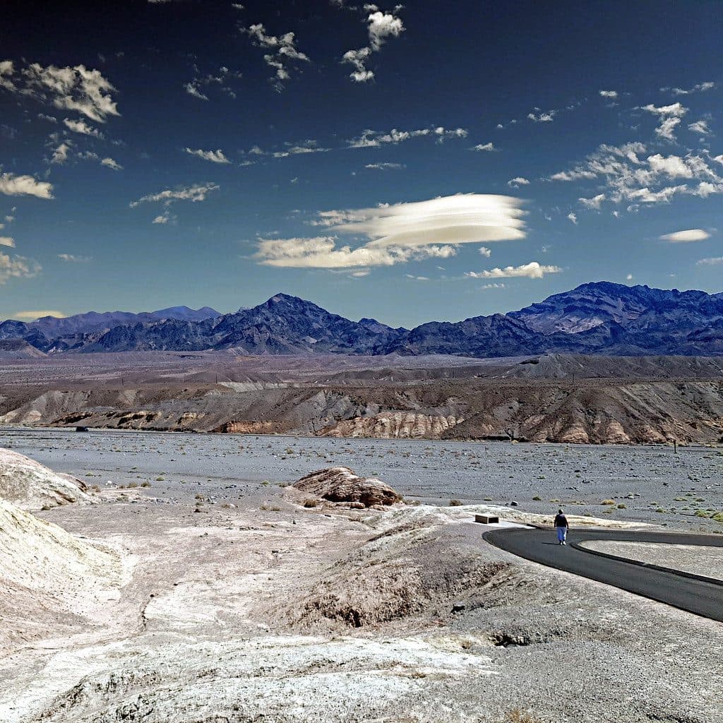
Coffin Peak is a high, windswept summit in the Black Mountains just southeast of Dante’s View, topping out around 5,490 feet. It’s the quiet counterpart to the famous overlook next door—same epic panoramas, a fraction of the people. If you like a little off-trail adventure for outsized views, this one delivers.
Map
Local know-how
Start from the Dante’s View parking area and follow the ridge.
Bring a GPS or map—the route is mostly unmarked.
Expect strong winds; pack a windproof layer even on mild days.
Wear sturdy boots for loose scree and sharp rock.
Carry all the water you need; there’s zero shade or sources.
Plan your stop

The highest, rockiest slopes around here are a summer buffet for grizzly bears.
Death Valley Tour Guide
Parkwolf is a GPS audio tour guide for Death Valley National Park. As you drive, it chimes in with what’s ahead: hidden gems, upcoming stops, history, geology, and wildlife, right through your car’s speakers.
See the Death Valley audio tourRecorded for this area
Dante's View: The Best Panorama in the Park“The road you're on climbs to Dante's View, perched in the Black Mountains over a mile above the valley floor. It's famous for having one of the best panoramic viewpoints in the park.”
Plays on the road 1.2 mi from Coffin Peak in the Parkwolf Death Valley Tour Guide.
More stories near here in the app
“Fantastic app with many points of information… It’s great to just turn on while you’re driving and it gives you an audio tour of the national Park. We love it!!!!”


Guide
From the ridge and summit you get commanding 360° vistas: Badwater Basin far below, Telescope Peak towering across the valley, and the Funeral and Panamint ranges marching off in layers. On clear days, even distant Nevada summits can pop into view. It’s all big sky and bigger scale.
Most hikers start from the Dante’s View parking area and follow the ridge toward the summit. Expect about 2.4 miles roundtrip with roughly 800+ feet of gain. The route is largely unmaintained—Class 2 in spots with loose scree—though a faint path appears near the top. The eastern ridge is the friendliest line.
You’ll likely have the summit to yourself even when Dante’s View is bustling. The tradeoff: it’s exposed and can be very windy. Confident hikers with decent footing will be fine; total beginners may find the scree and lack of signage unnerving.
Sightings aren’t commonly reported here, likely due to the exposure and arid setting. Don’t count on much animal activity along the ridge.
This is an off-trail outing: bring navigation, sturdy footwear, and all your water. There’s no shade, no water, and no services at the summit. Windproof layers are smart year-round.
Wildlife
 71 sightingsBighorn SheepMost seen around 6 PMSighting map
 101 sightingsDesert TortoiseMost seen around 8 AMSighting map
 458 sightingsCoyoteMost seen around 6 PMSighting map
 28 sightingsFeral BurroMost seen around 5 PMSighting map
 30 sightingsMule DeerMost seen around 7 PMSighting map
 62 sightingsKit FoxMost seen around 7 PMSighting map
Sighting maps show where each species has been reported across Death Valley. Wildlife moves, so no sighting is guaranteed.
Keep exploring
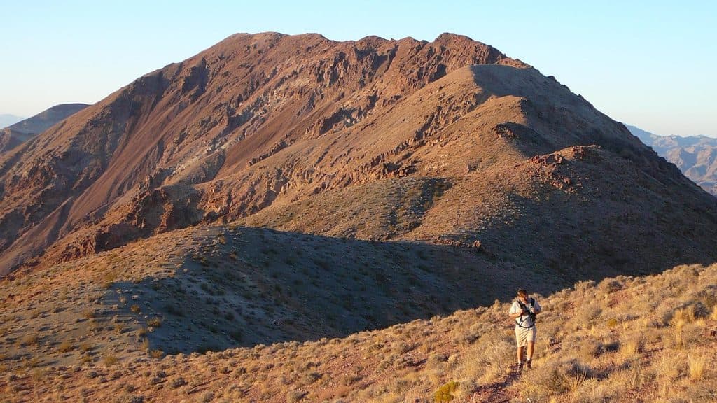 ChallengingDante's Ridge to Mount Perry9 mi · 5 hr · 1.2 mi awayDifficult, exposed unofficial ridge route from Dantes View to Mount Perry
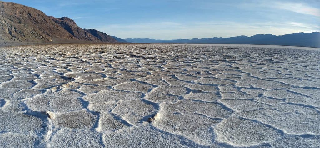 EasyBadwater Basin Salt Flats1.9 mi · 33 min · 3.6 mi awayWalk from Badwater Basin onto the otherworldly salt polygons at North America’s lowest point
 EasyBadwater Basin Boardwalk1 mi · 30 min · 3.6 mi awayEasy, accessible stroll from Badwater Basin’s boardwalk to the edge of Death Valley’s salt flats
Parkwolf’s Death Valley ranking

The audio tour guide for the drive, plus offline maps, trails, and wildlife heatmaps for when the signal drops.