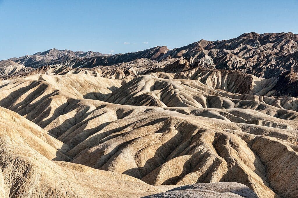
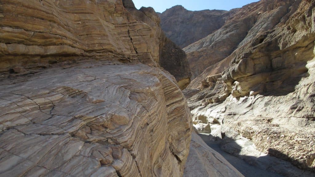
Parking
Large paved lot directly off Badwater Road at Badwater Basin with RV and bus spaces and a vault toilet.

#8 of 36 trails in Death Valley
Death Valley National Park, CA · NV
Easy, accessible stroll from Badwater Basin’s boardwalk to the edge of Death Valley’s salt flats
Overview
Badwater Basin Boardwalk is a short, flat out-and-back to the edge of Death Valley’s salt flats. From the paved Badwater Basin parking area, an ADA-accessible route reaches the wooden boardwalk and continues onto the salt crust, with the Black Mountains and the 282-foot-below-sea-level marker overhead. The classic visitor outing is about 1.0 mile round trip to the edge of the salt flat. The stored line follows the physical route once from the parking-side boardwalk to that turnaround; the return walk is not duplicated in the geometry. The mapped corridor is about 0.49 mile one way, consistent with the rounded visitor distance. Visitors may continue farther across the hard-packed salt when footing allows, but those optional extensions are not part of this trail record. Paved parking with large RV and bus spaces and a vault toilet is immediately by the trailhead. An ADA-accessible ramp leads to the boardwalk. Pets are not permitted on the Badwater Basin boardwalk or trail. Winter through early spring is most comfortable. Summer heat is dangerous; avoid hiking after mid-morning and carry water. Bring water even for this short walk and wear sturdy shoes; salt crust can be uneven and sharp away from the boardwalk, and occasional flooding can leave muddy or slick surfaces. Stay on the boardwalk where provided and avoid damaging the fragile salt crust.
Map & elevation
Plan your hike

The highest, rockiest slopes around here are a summer buffet for grizzly bears.
Death Valley Tour Guide
Parkwolf is a GPS audio tour guide for Death Valley National Park. As you drive, it chimes in with what’s ahead: hidden gems, upcoming stops, history, geology, and wildlife, right through your car’s speakers.
See the Death Valley audio tourRecorded for this trailhead
Walking on Salt at Badwater Basin“The parking area ahead is for Badwater Basin, probably the most famous site in Death Valley. It sits at 282 feet below sea level, making it the lowest point in all of North America.”
Plays as you drive up to this trailhead in the Parkwolf Death Valley Tour Guide.
More stories near here in the app
“Fantastic app with many points of information… It’s great to just turn on while you’re driving and it gives you an audio tour of the national Park. We love it!!!!”


Wildlife
 71 sightingsBighorn SheepMost seen around 6 PMSighting map
 101 sightingsDesert TortoiseMost seen around 8 AMSighting map
 458 sightingsCoyoteMost seen around 6 PMSighting map
 28 sightingsFeral BurroMost seen around 5 PMSighting map
 30 sightingsMule DeerMost seen around 7 PMSighting map
 62 sightingsKit FoxMost seen around 7 PMSighting map
Sighting maps show where each species has been reported across Death Valley. Wildlife moves, so no sighting is guaranteed.
Keep exploring
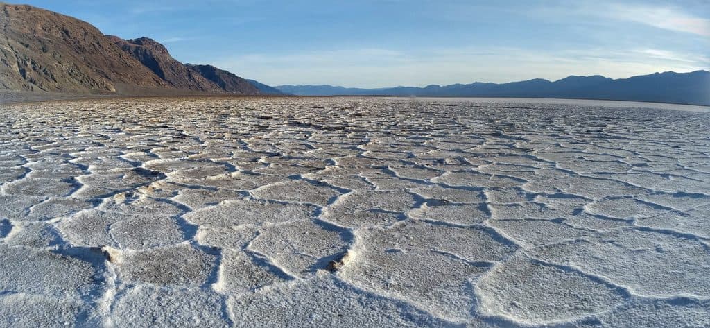 EasyBadwater Basin Salt Flats1.9 mi · 33 min · At the trailheadWalk from Badwater Basin onto the otherworldly salt polygons at North America’s lowest point
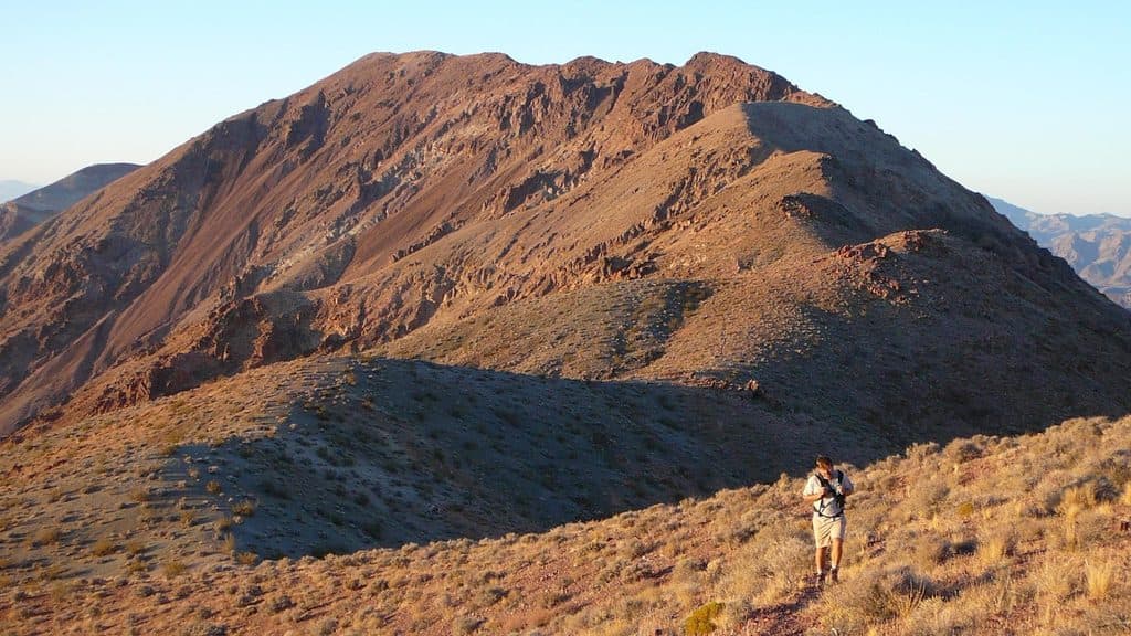 ChallengingDante's Ridge to Mount Perry9 mi · 5 hr · 2.4 mi awayDifficult, exposed unofficial ridge route from Dantes View to Mount Perry
 ModerateNatural Bridge Canyon Trail1.4 mi · 1 hr · 3.6 mi awayRocky out-and-back to a natural bridge and dry falls
 EasyArtist's Palette Wash0.4 mi · 48 min · 9.4 mi awayExplore a short, unmaintained loop through Death Valley's rainbow badlands.
 ModerateWillow Canyon Trail4.2 mi · 2.5 hr · 11.4 mi awayQuiet desert canyon to a rare seasonal waterfall and narrows.
 ChallengingSidewinder Canyon5 mi · 6 hr · 11.5 mi awayA demanding cross-country hike to three rugged slot canyons.
 ModerateDesolation Canyon Trail3.6 mi · 2.5 hr · 12.1 mi awayColor-drenched badlands and a quiet canyon with easy scrambles
 ChallengingZabriskie Point to Golden Canyon7.8 mi · 4.5 hr · 13.4 mi awayStrenuous 7.8-mile loop from Zabriskie Point through Gower Gulch and Golden Canyon
 Sight · 2.4 mi awayDante's ViewGrandstand view over Badwater Basin from 5,475 feet
 Sight · 3 mi awayBadwater BasinVast salt flats at the continent’s lowest point
 Sight · 3.6 mi awayCoffin PeakA quiet, windy summit with huge views near Dante’s View
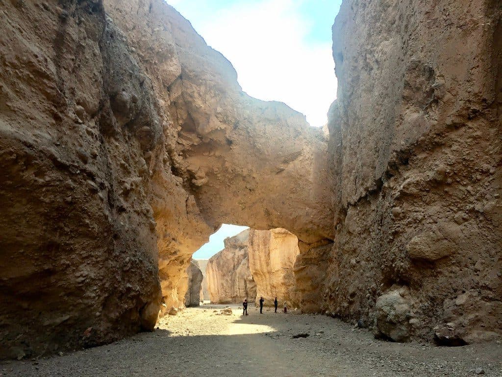 Sight · 3.8 mi awayDeath Valley Natural BridgeQuick canyon walk to a dramatic arch and dry waterfall
 Sight · 8.5 mi awayDevil's Golf CourseA jagged salt labyrinth where the ground crackles under the sun
 Sight · 9.7 mi awayArtists PaletteRainbow badlands you can wander right from the car
Parkwolf’s Death Valley ranking

The audio tour guide for the drive, plus offline maps, trails, and wildlife heatmaps for when the signal drops.