Death Valley Natural Bridge in Death Valley National Park

Sight · Death Valley National Park

Death Valley Natural Bridge

Quick canyon walk to a dramatic arch and dry waterfall

Photo: Public Domain
Type
Sight
Nearest trail
0.3 mi
  • Trailhead
  • Parking
  • Restrooms
  • Scenic viewpoint
  • #27 of 74 sights
Parkwolf audio tour130 stories across Death Valley’s roads

Overview

About Death Valley Natural Bridge

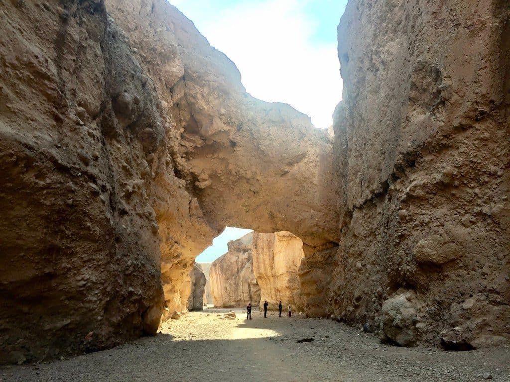
Natural Bridge delivers a lot for a little effort: a quick canyon walk to a large, jagged rock span sculpted by flash floods. It’s one of the park’s easiest, most popular short hikes, so it fits nicely between bigger Badwater Basin stops. Expect minimal vegetation, stark walls, and that classic Death Valley drama.

Why stop

  • Short walk with big payoff
  • Bonus dry waterfall if you continue past the arch
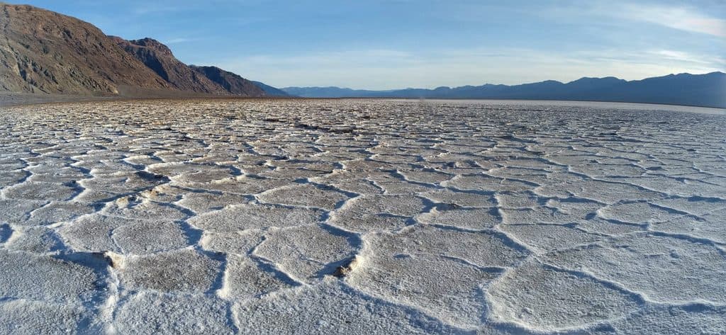
  • Parking lot views toward Badwater Basin

Heads up

  • Fully exposed and can be brutally hot
  • Access is via a dirt road that can develop ruts after washouts

Map

Where it is

Loading the Death Valley map
Full map
SightDeath Valley Natural Bridge36.28486, -116.76576
Keep this map with you offline in the Parkwolf app

Local know-how

Tips for visiting Death Valley Natural Bridge

  1. Aim for early morning or late afternoon for cooler temps and fewer people.

  2. Continue past the arch to the dry fall for a more satisfying turnaround point.

  3. Check the dirt spur’s condition after storms—ruts and washouts can develop.

  4. Bring plenty of water and sun protection; there are no services here.

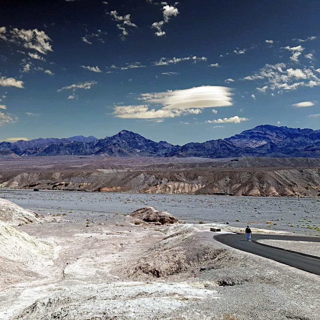
  5. Use the parking area for quick views toward Badwater Basin before or after the hike.

Plan your stop

Before you go

Best time to visit

  • Season: Cooler months are best; this spot bakes in heat.
  • Time of day: Early or late helps with temps and crowds. Photographers tend to like midday to late afternoon light for the bridge’s textures.
  • Crowds: Popular and busy in prime season; patience usually gets you people‑free photos under the arch.

Logistics & Amenities

Access the parking area via a short dirt road off Badwater Road. It’s usually passable to most vehicles, but washouts and ruts can develop after storms, so conditions can vary. The trailhead has parking and toilets, but no water or services—come self-sufficient.

3 active Death Valley alerts

  • ClosurePark roads closed or hazardousPlan around multiple closed roads and use extra caution on damaged routes. - Paved roads: North Highway and Beatty Cut-off are closed due to flooding and debris from the October 22 storm.Official details
  • ClosureSaline Valley Lower Springs closed after wildfireLower Springs at Saline Valley Warm Springs remains closed after the September 15 wildfire; stay out because the fire left safety hazards, including potential hazardous chemicals.Official details
See all 3 alerts
A park ranger sits on a dash-mounted phone, talking, as Parkwolf’s Tour Guide plays “Army Cutworm Moths: A Grizzly Bear Buffet” on Grand Loop Road below Dunraven Pass in Yellowstone
Parkwolf Tour GuideThe highest, rockiest slopes around here are a summer buffet for grizzly bears.

Death Valley Tour Guide

Your drive to Death Valley Natural Bridge, narrated.

Parkwolf is a GPS audio tour guide for Death Valley National Park. As you drive, it chimes in with what’s ahead: hidden gems, upcoming stops, history, geology, and wildlife, right through your car’s speakers.

See the Death Valley audio tour

More stories near here in the app

  • Walking on Salt at Badwater Basin
  • Badwater's Salt Polygons
  • Dante's View: The Best Panorama in the Park
  • Creosote Bush: The Smell of Desert Rain
  • 130 audio storiesacross Death Valley’s roads, triggered by GPS as you drive
  • Wildlife heatmapsfor Bighorn Sheep, Desert Tortoise, Coyote, and 13 more
  • Works offlinemaps, 36 trails, 114 places, and audio download before you lose signal
  • CarPlay readysimple controls built for the drive
★★★★★
“Fantastic app with many points of information… It’s great to just turn on while you’re driving and it gives you an audio tour of the national Park. We love it!!!!”
JMJamesApp Store review
Download Parkwolf on the App StoreGet Parkwolf on Google Play

4.7 from 8,600+ ratings

Guide

More about Death Valley Natural Bridge

What You’ll SeeThe bridge itself spans the canyon about 0.3 miles from the trailhead.
  • The bridge itself spans the canyon about 0.3 miles from the trailhead.
  • Continue up-canyon another 0.4 miles to a photogenic dry waterfall and sculpted chutes.
  • From the parking area, you can often snag wide views toward the salt flats of Badwater Basin.
Trail at a GlanceDistance: ~0.3 miles to the bridge (one way); ~0.7 miles to the dry fall.
  • Distance: ~0.3 miles to the bridge (one way); ~0.7 miles to the dry fall.
  • Grade: Gentle, steady uphill in a gravelly wash; most people reach the bridge in about 15 minutes.
  • Shade: Limited; you’ll find more on the far side of the arch later in the day.
Geology (Why It Looks Different)Unlike the smooth sandstone arches you see in Utah, this bridge is made of cemented alluvial…

Unlike the smooth sandstone arches you see in Utah, this bridge is made of cemented alluvial deposits—rock, gravel, and sediment fused by time and flash floods. Those same floods carved the canyon’s vertical chutes and left the hanging dry falls. Cracks and rough textures on the bridge are part of the ongoing erosional story.

WildlifeThis is harsh, exposed desert.

This is harsh, exposed desert. Wildlife sightings are uncommon; don’t expect much activity along the wash.

Quick TipsBring more water than you think you’ll need—there’s no shade until you’re in the canyon and no…
  • Bring more water than you think you’ll need—there’s no shade until you’re in the canyon and no water on site.
  • If you’re short on time, tag the bridge and head back; with extra time, continue to the dry fall for a better finish.
  • The far side of the arch offers some shade; it’s a nice place to cool off briefly.
  • The parking area doubles as a viewpoint—worth a quick look even if you don’t hike far.
  • After storms, check current road conditions before committing to the dirt spur.

Wildlife

Wildlife in Death Valley

All Death Valley wildlife maps

Sighting maps show where each species has been reported across Death Valley. Wildlife moves, so no sighting is guaranteed.

Parkwolf’s Death Valley ranking

Top sights in Death Valley

All 114 places
  1. 1Badwater BasinSight
  2. 2Dante's ViewSight
  3. 3Mesquite Flat Sand DunesSight
  4. 4Zabriskie PointSight
  5. 5Golden CanyonSight
  6. 6Artists PaletteSight

Take Parkwolf to Death Valley.

The audio tour guide for the drive, plus offline maps, trails, and wildlife heatmaps for when the signal drops.

4.7 from 8,600+ ratings

Download Parkwolf on the App StoreGet Parkwolf on Google Play