
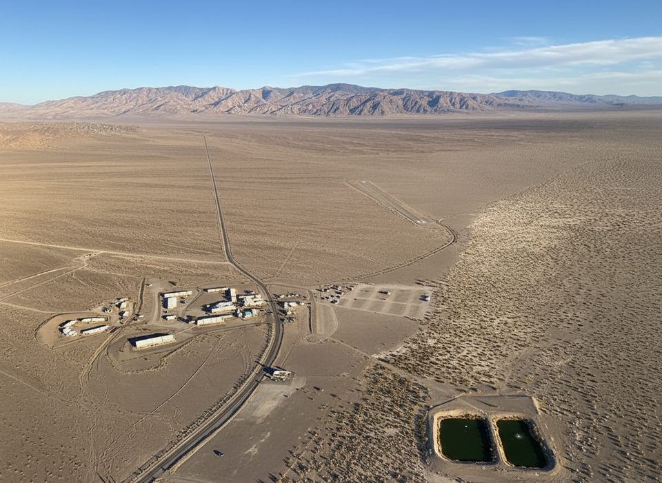
Place · 8.9 mi away
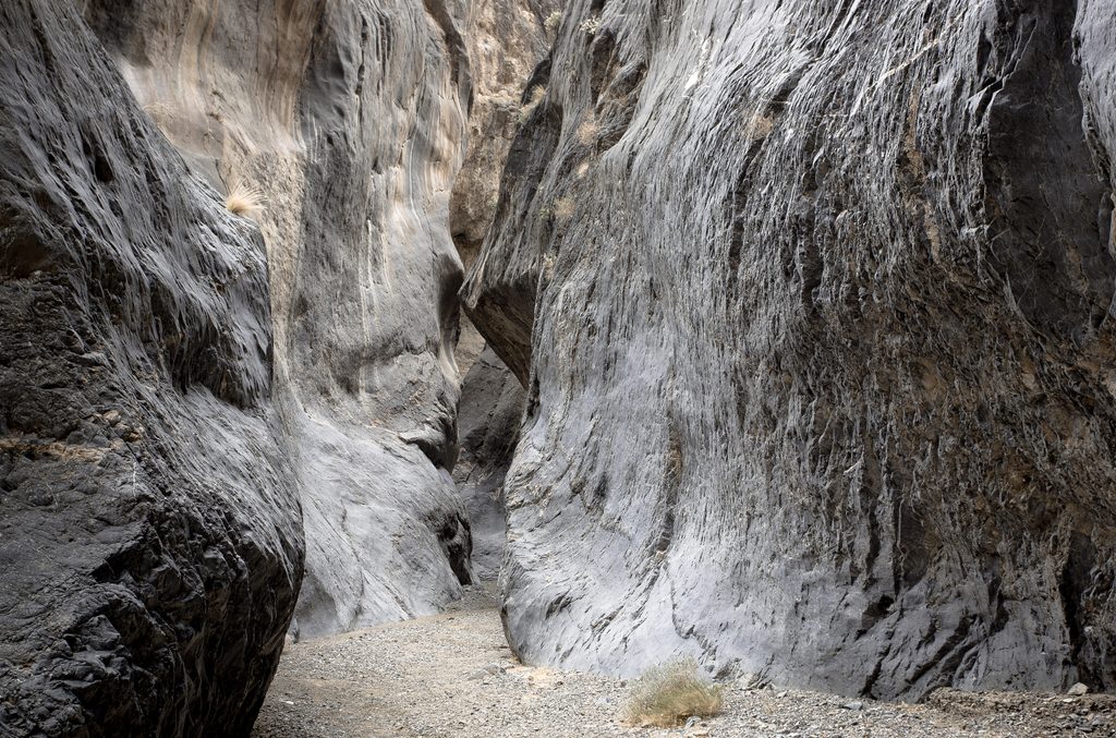
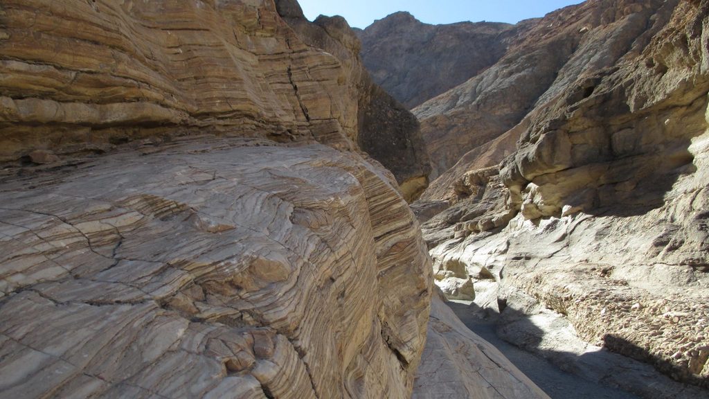
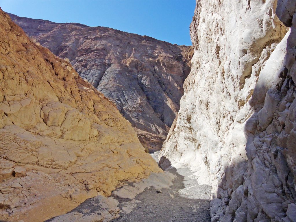
Marble Canyon is the wilder half of the Cottonwood–Marble duo: a remote backcountry canyon of deep, twisting narrows and gorgeous, zebra‑striped marble walls. It feels far from everything—exactly the point—so expect quiet, big scenery, and a real sense of adventure.
The lower canyon quickly tightens into long, shaded narrows with smooth, banded stone and soft gravel underfoot. Between narrows, the wash opens briefly to sun and sky, and in good years you’ll catch spring wildflowers dotting the slopes. Deeper in, side canyons branch off to more sculpted walls and winding corridors.
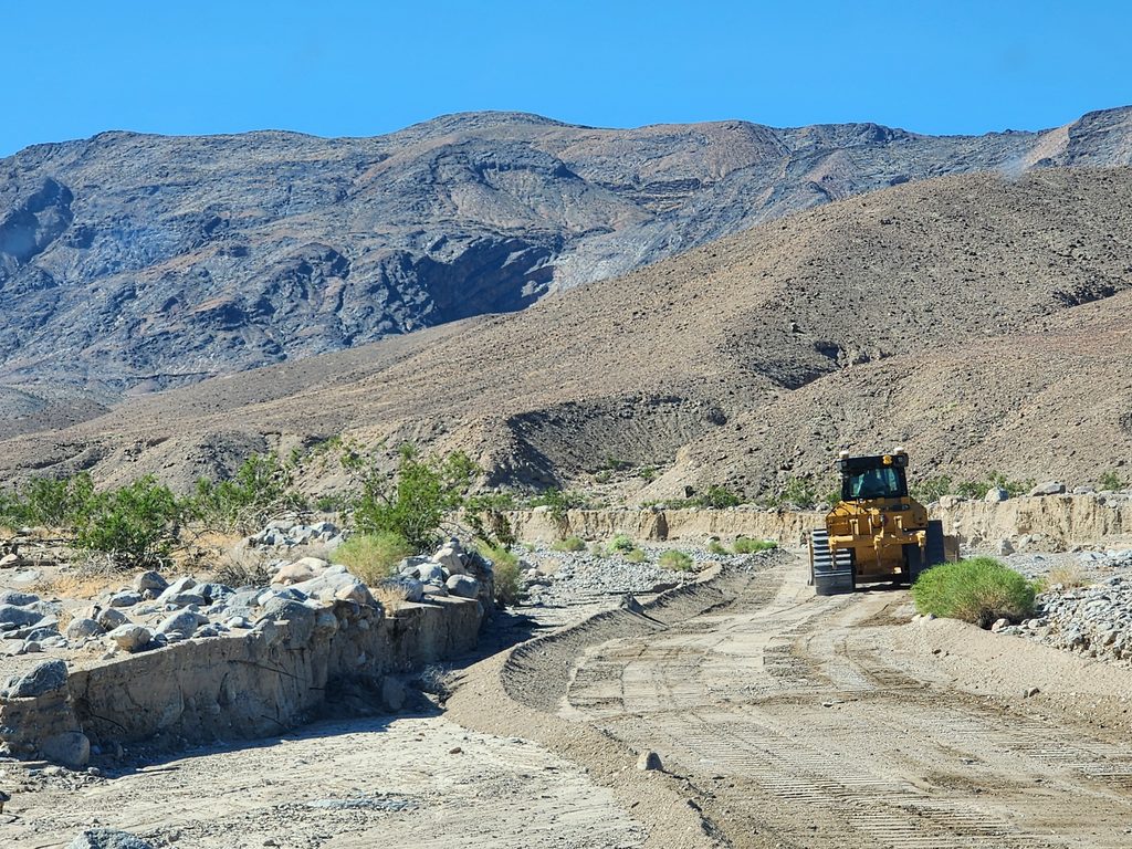
Access is via Marble Canyon Road/Cottonwood Canyon Road—unimproved, rough, and best tackled with a true high‑clearance 4x4. Expect primitive parking near the mouth of the canyon; this is wilderness, not a developed trailhead. Many parties start from the 2WD area and walk the road segment, which adds mileage before the canyon begins.
The lower canyon is friendly by Death Valley standards—narrow, dramatic, and not very technical. Push deeper or commit to the full loop and it turns into a serious, remote undertaking best left to seasoned desert backpackers comfortable with navigation and self‑support.
Aim for winter into early spring for cooler temperatures and a shot at wildflowers. Summer heat here is a non‑starter. Crowds are rarely an issue any time of year; solitude is part of the draw.
There are no services—no water, no restrooms, no shade structures. Bring ample water, sun protection, and robust navigation (map and GPS). Treat this as true wilderness: road conditions can change, cell service is unreliable, and retreat can be as committing as continuing.
Place · 8.9 mi away
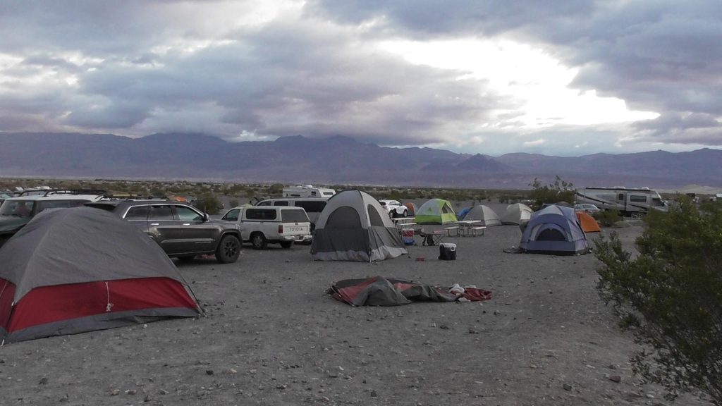
Place · 9.2 mi away
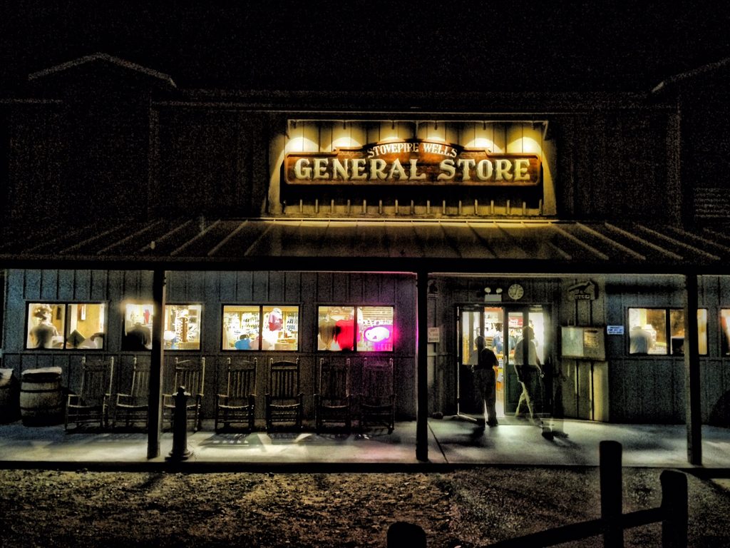
Place · 9.3 mi away
Place · 9.3 mi away
Challenging · 1 mi away
Challenging · 1 mi away
Moderate · 10.1 mi away
Challenging · 10.1 mi away

Parkwolf Tour Guide
