
Place · 1 mi away
Challenging
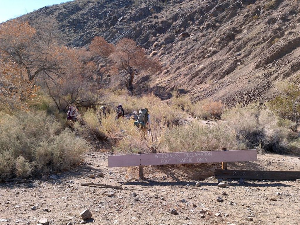
This is Death Valley’s quintessential backcountry sampler: a roughly 26–31 mile loop (about 26 miles for the standard line) that stitches together Cottonwood, Deadhorse, and Marble Canyons. It’s a demanding, mostly unmarked route with long stretches in sandy washes, short steep climbs, and big solitude. Most hikers go clockwise from Cottonwood Canyon Road. Expect a true backcountry experience—more route-finding than trail-following—and a payoff of colorful narrows, desert oases, and petroglyphs.
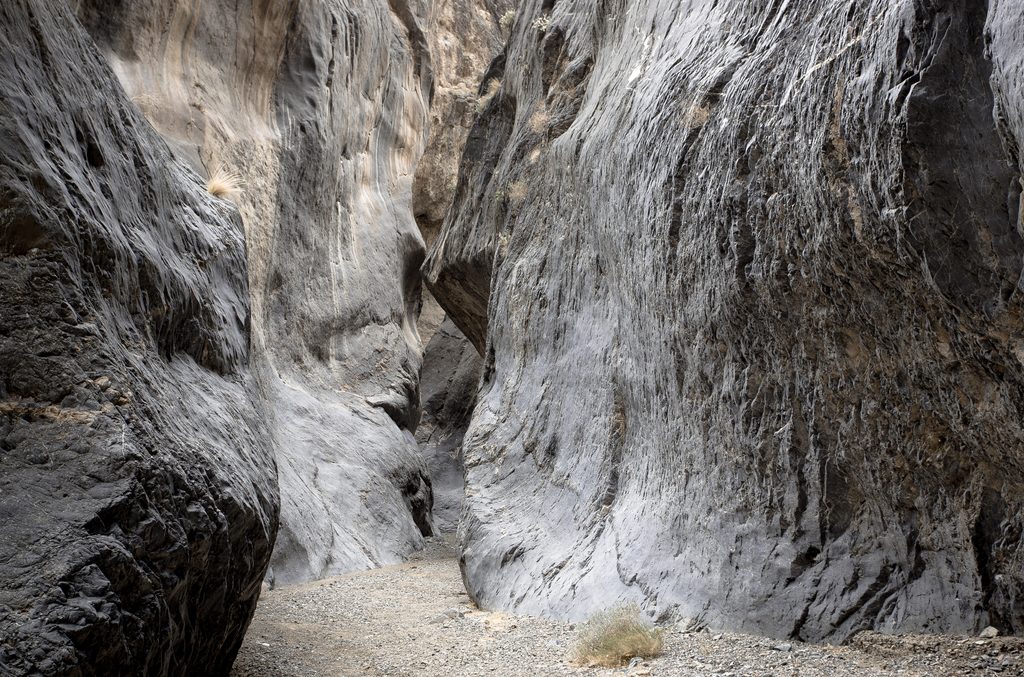
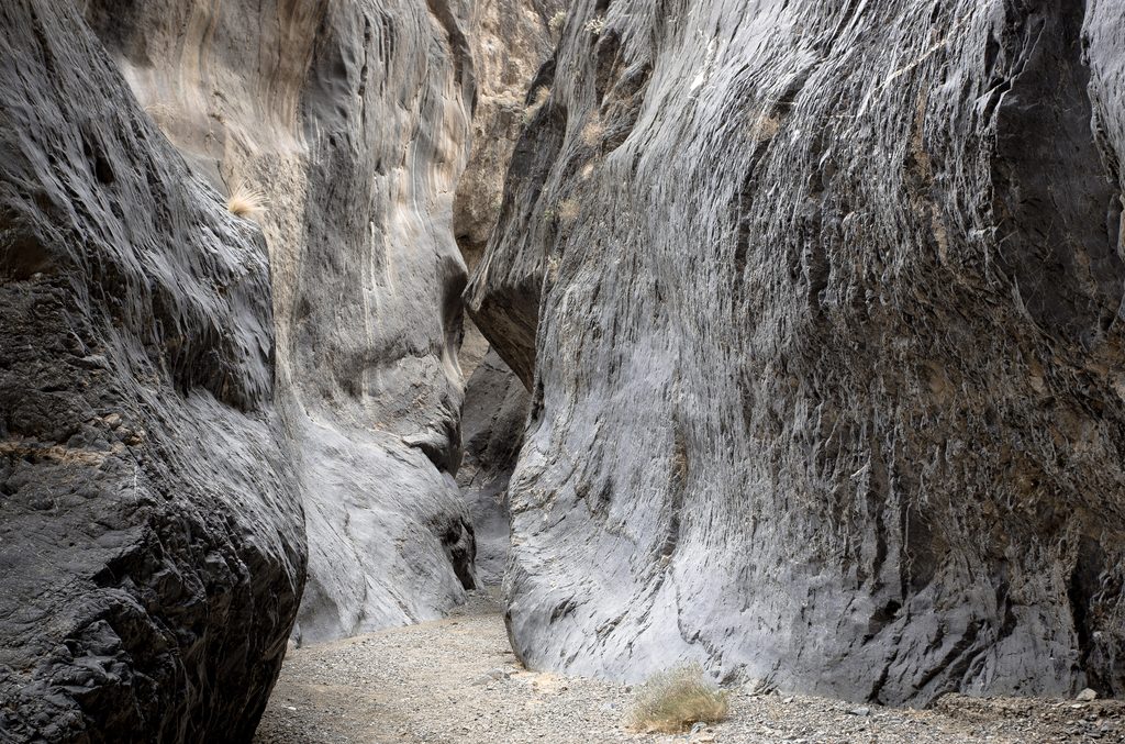
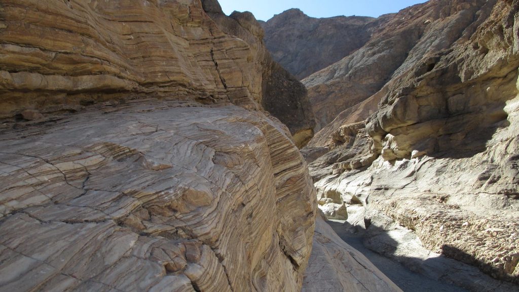
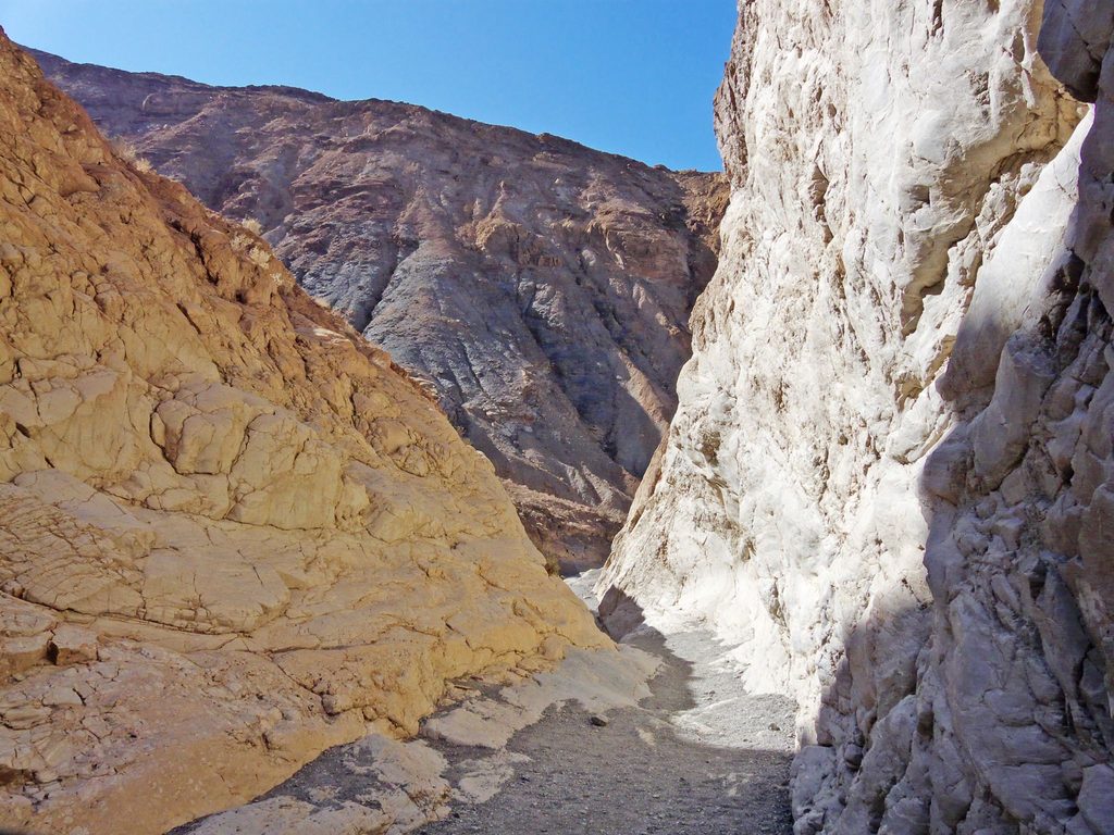
Clockwise, you’ll start with 8–10 miles on Cottonwood Canyon’s dirt road and wash—straightforward but sandy in spots. Cottonwood Springs is the route’s green heart and a logical camp; it’s also the most reliable water source on the loop by desert standards. From there, navigation gets real as you leave the comfort of the road and cross open desert toward Deadhorse Canyon. Route-finding into Deadhorse can be confusing, but the scenery ramps up with sweeping views, a landmark cottonwood, and another seasonal trickle when conditions allow. The loop then drops into Marble Canyon, where sculpted narrows and polished, colorful rock walls steal the show before the wash leads you back out to the start.
This loop earns its reputation as hard. Plan on roughly 3,000–4,500 feet of cumulative gain depending on your exact line and camps, lots of loose sand and gravel, and stretches with no constructed tread. It’s best for experienced hikers or backpackers who enjoy navigation and don’t mind some cross-country travel. The loop is remote and lightly traveled; you may not see anyone for long stretches.
Water is scarce and unreliable. Cottonwood Springs is typically the surest bet; other sources are seasonal. Always carry more than you think you need and verify current conditions before you go. Dispersed camping is allowed; popular camps are near Cottonwood Springs and in the upper canyons where flat, durable sites exist. No advance permit is required for this loop, but backcountry registration is strongly recommended.
Beyond the big canyon scenery, keep an eye out for petroglyphs (especially in Marble Canyon)—admire, don’t touch. The route traverses the uplifted Cottonwood Mountains with slot sections, eroded layers, and the marble outcrops that give Marble Canyon its name. Wildlife sightings are hit-or-miss but can include wild horses and black-tailed jackrabbits.
Go in fall, winter, or early spring (October–April). Summer is a non-starter—dangerous heat, zero shade. Water reliability is best in winter into early spring, but never guaranteed. Start early to use cool morning temps, and be ready for big temperature swings—warm days, cold nights, and the possibility of sudden storms.
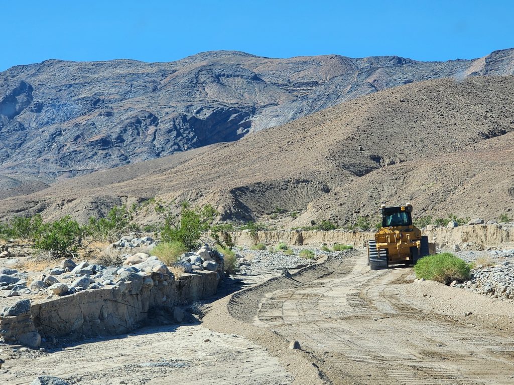
Park near the junction of Cottonwood Canyon Road and Marble Canyon Road; roadside pullouts at the end of the drivable section. High-clearance is recommended; no services.
Unmarked route with significant navigation; scarce, unreliable water; extreme temperature swings and sudden storms. Carry extra water and bring map, compass, and GPS.
Place · 1 mi away
Place · 8 mi away
Place · 8.3 mi away
Place · 8.4 mi away
Challenging · 0 mi away
Moderate · 1 mi away
Moderate · 9.3 mi away
Challenging · 9.3 mi away

Parkwolf Tour Guide
