
Place · 8.9 mi away
Moderate
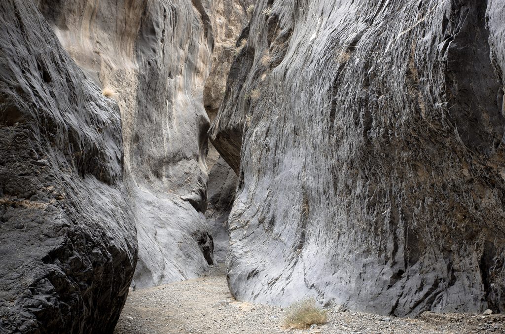
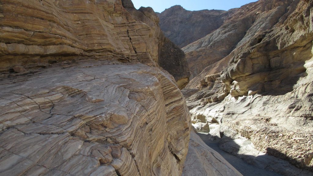
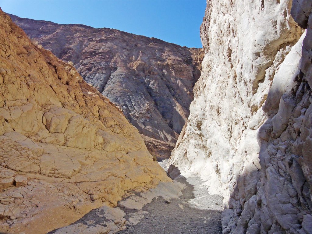
Marble Canyon is a wild, unmarked canyon walk with polished marble and limestone walls, multiple stretches of photogenic narrows, and real solitude deep in Death Valley’s Cottonwood Mountains. Expect a remote, committed feel rather than a built trail. A typical outing is about 8 miles total, out and back to the best narrows, but you can tailor the distance as an exploratory hike.
The hike starts at the end of rough Marble Canyon Road and heads straight into the canyon wash. Travel alternates between open, sun‑baked stretches and cool, shaded narrows with towering marble walls. There’s no maintained trail—navigation is following the wash and reading the canyon—so bring maps/GPS and be comfortable with route‑finding. Footing is sandy and rocky, and you’ll encounter a few dry falls (one around 8 feet may require a short scramble). The first couple of miles offer easy narrows walking by desert standards; continuing farther increases commitment and route‑finding. Overall difficulty lands in the moderate range for the standard out‑and‑back, but the remoteness and lack of water elevate the seriousness.
This canyon shines in its sculpted, zebra‑striped marble corridors—some of the most striking narrows in the park. Light reflects beautifully off the blues, whites, and grays of the polished stone. Keep an eye out for petroglyph panels in sections of the canyon; admire respectfully and do not touch. In late winter and early spring, desert wildflowers and cacti can add splashes of color.
Go November through April. Temperatures are milder, and early spring can bring blooms. Avoid summer—heat here can be life‑threatening. Start early for cooler temps and softer light in the narrows; the shaded slots provide periodic respite, but much of the approach is exposed.
If you want a classic, quiet Death Valley canyon with dramatic narrows and minimal crowds, this is a standout. If you prefer signed trails, reliable water, or easy access roads, pick something else—or consider the first 2–3 miles as a shorter sampler. Backpackers seeking a bigger objective can link Marble with adjacent canyons on the demanding Cottonwood–Marble loop.
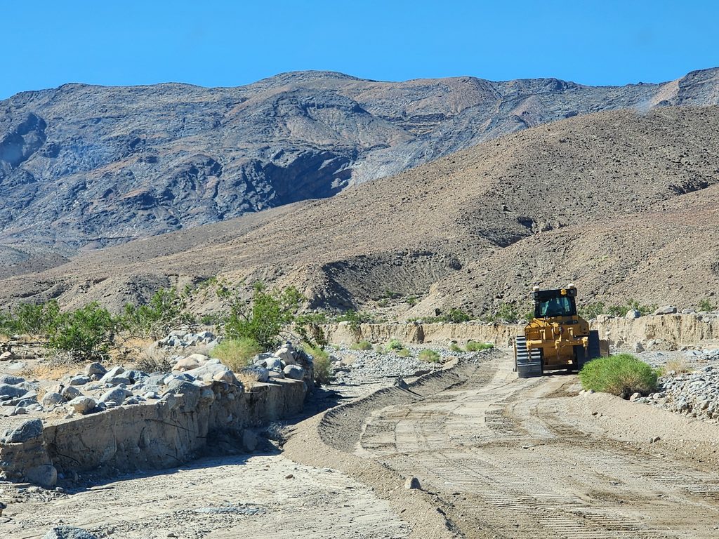
Park at the end of Marble Canyon Road at the canyon mouth. The road is rough—high‑clearance 4WD recommended. If conditions or your vehicle prevent reaching the end, park at a safe pullout/turnaround and begin hiking up the wash.
Extreme heat outside winter; no reliable water (carry 4–6L per person); unmarked route with braided washes; short dry falls including an ~8‑ft downclimb; flash flood risk in stormy weather; rough, tire‑shredding access road.
Place · 8.9 mi away
Place · 9.2 mi away
Place · 9.3 mi away
Place · 9.3 mi away
Challenging · 1 mi away
Challenging · 1 mi away
Moderate · 10.1 mi away
Challenging · 10.1 mi away

Parkwolf Tour Guide
