Overview
About Alaska Range Interpretive Overlook
Why stop
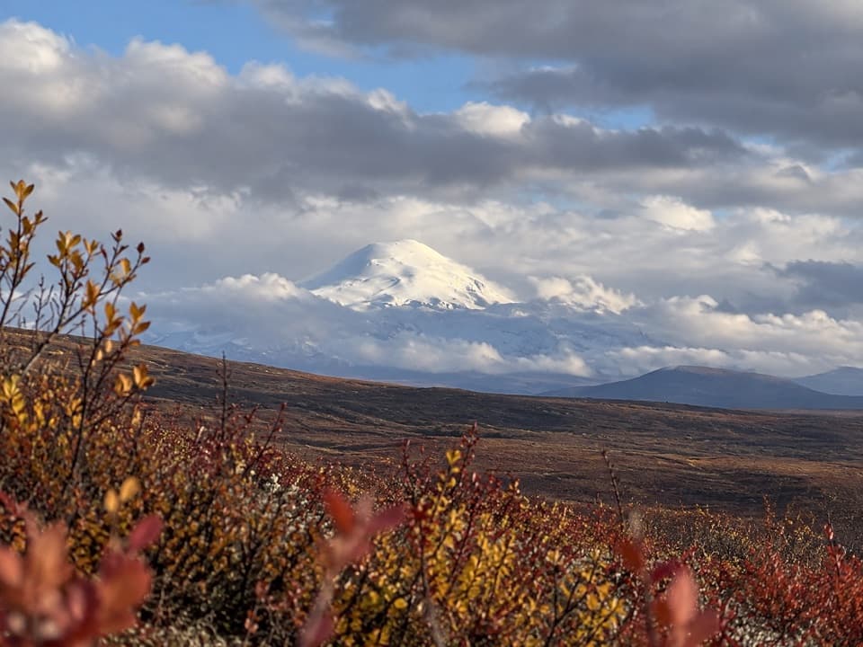
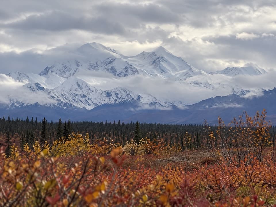
- Wide Alaska Range panorama from a roadside pullout.
Heads up
- The unmarked gravel turnoff is easy to miss, and clouds can hide the view.
Map
Where it is

The highest, rockiest slopes around here are a summer buffet for grizzly bears.
Denali Highway Tour Guide
Your drive to Alaska Range Interpretive Overlook, narrated.
Parkwolf is a GPS audio tour guide for Denali Highway. As you drive, it chimes in with what’s ahead: hidden gems, upcoming stops, history, geology, and wildlife, right through your car’s speakers.
See the Denali Highway audio tourRecorded for this place
Alaska Range Interpretive Overlook: The Unmarked Turnoff“You're nearing the turnoff for Alaska Range Interpretive Overlook. An unmarked gravel lane on the north side of the highway leads to a large parking area and a weathered interpretive sign.”
Plays as you drive up to Alaska Range Interpretive Overlook in the Parkwolf Denali Highway Tour Guide.
More stories near here in the app
- The Seeds Waiting in a Black Spruce
- Butte Lake Trail: Plan for Rough Ground
- The Cone Pile Beneath the Spruce
- The Peat That Kept Ice Frozen
- 96 audio storiesacross Denali Highway’s roads, triggered by GPS as you drive
- Wildlife heatmapsfor Moose, Caribou, Bald Eagle, and 10 more
- Works offlinemaps, 18 trails, 27 places, and audio download before you lose signal
- CarPlay readysimple controls built for the drive
“Fantastic app with many points of information… It’s great to just turn on while you’re driving and it gives you an audio tour of the national Park. We love it!!!!”


Guide
More about Alaska Range Interpretive Overlook
Stop for the viewAlaska Range Interpretive Overlook is a roadside pullout on the north side of the Denali…
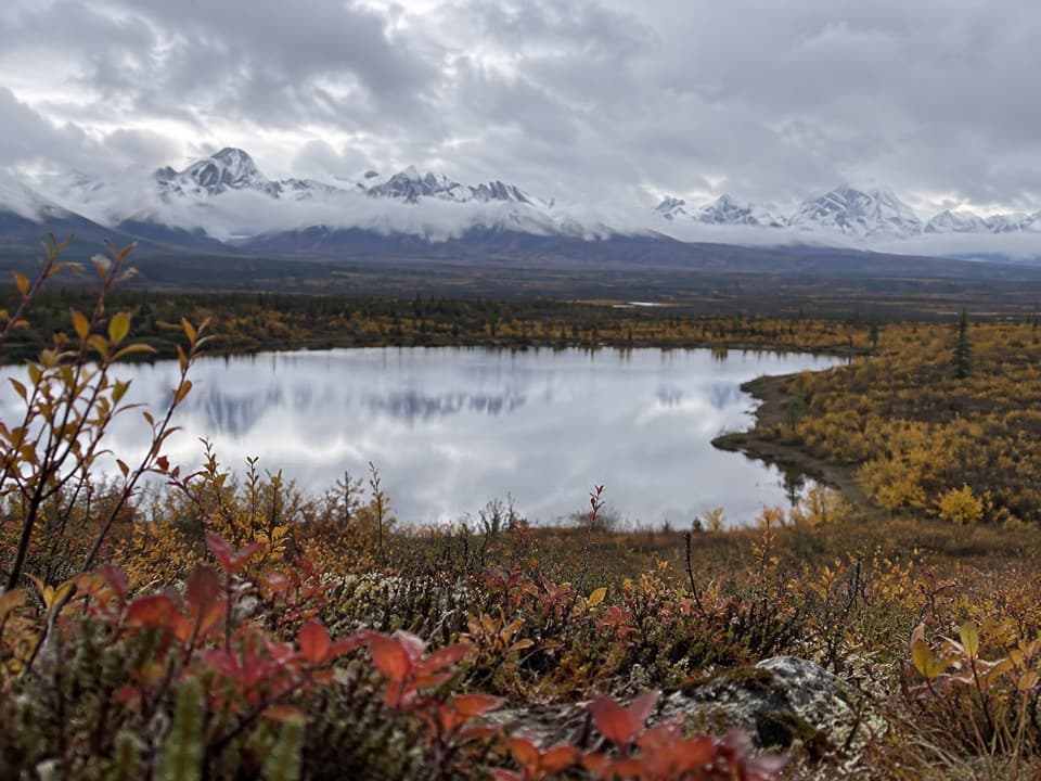
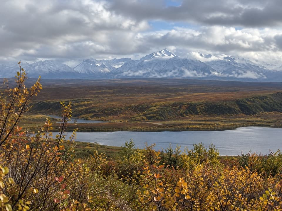
Alaska Range Interpretive Overlook is a roadside pullout on the north side of the Denali Highway, reached by a short gravel lane to a large parking area and a weathered interpretive sign. The draw is the wide view of the Alaska Range; make the stop when the northern horizon is clear, since cloud can hide the mountains. There’s no substantial hike to earn it.
Finding the pulloutLook for the north-side gravel turnoff near mile 95.
Look for the north-side gravel turnoff near mile 95. It’s unmarked, and the exact milepost varies by about half a mile, so use the road and the mapped access cluster rather than the number alone. The pin marks the general viewpoint area, not a verified sign or parking-space coordinate. Keep it separate from the Alaska Range hill viewpoint farther east on the highway.
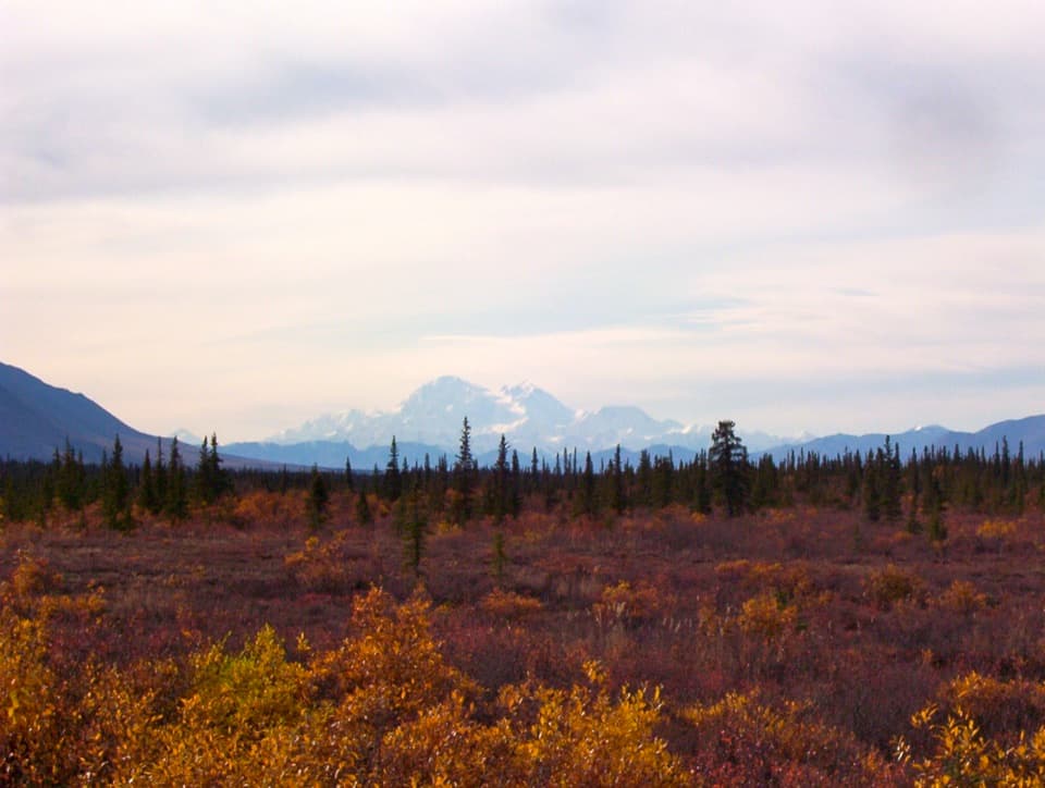
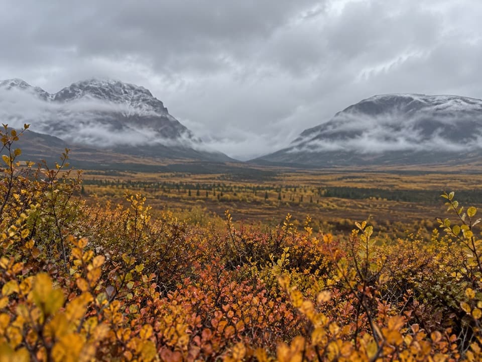
What to look forOn a clear day, the Alaska Range fills the northern horizon above the open tundra and spruce.
On a clear day, the Alaska Range fills the northern horizon above the open tundra and spruce. No individual peak is confirmed from this pullout, so take in the range as a whole. For a photo, keep some of the foreground below the skyline; that gives the mountains context and scale.
The highway behind the stopThe Denali Highway opened in 1957 and was the only road access to Denali National Park until…
The Denali Highway opened in 1957 and was the only road access to Denali National Park until the Parks Highway opened in the 1970s. It’s a seasonal route, generally maintained from mid-May into mid-September and closed in winter. Check road conditions before setting out; rough patches and unreliable cell service are part of the drive.
Wildlife
Wildlife in Denali Highway
 56 sightingsMooseMost seen around 7 PMSighting map
 37 sightingsCaribouMost seen around 8 PMSighting map
 26 sightingsBald EagleMost seen around 11 AMSighting map
 33 sightingsTrumpeter SwanMost seen around 7 PMSighting map
 25 sightingsBeaverMost seen around 9 PMSighting map
 17 sightingsPorcupineMost seen around 10 PMSighting map
Sighting maps show where each species has been reported across Denali Highway. Wildlife moves, so no sighting is guaranteed.