Butte Lake Trail in Denali Highway

#10 of 18 trails in Denali Highway

Denali Highway, AK

Butte Lake Trail

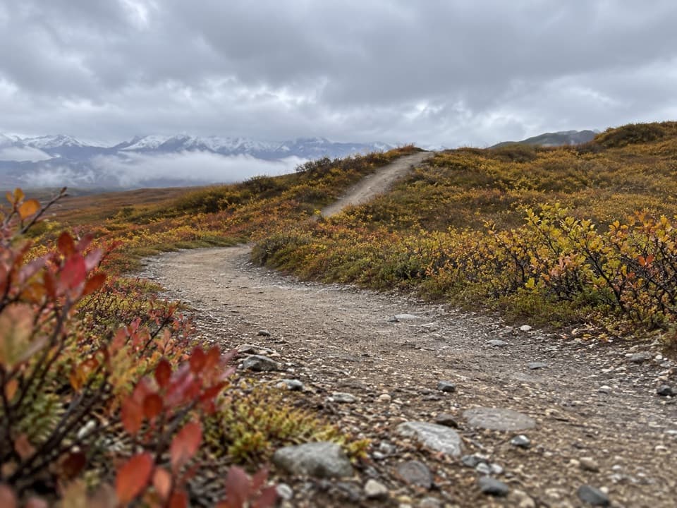
A rough out-and-back to Butte Lake on an ORV track.

Length
6.5mi
Time
4hr
Elev. change
243ft
Difficulty
Moderate
  • High point 3,379 ft

Hear the audio tour

Butte Lake Trail: Plan for Rough Ground

Overview

About Butte Lake Trail

Why go

  • A mapped route reaches Butte Lake from the highway.
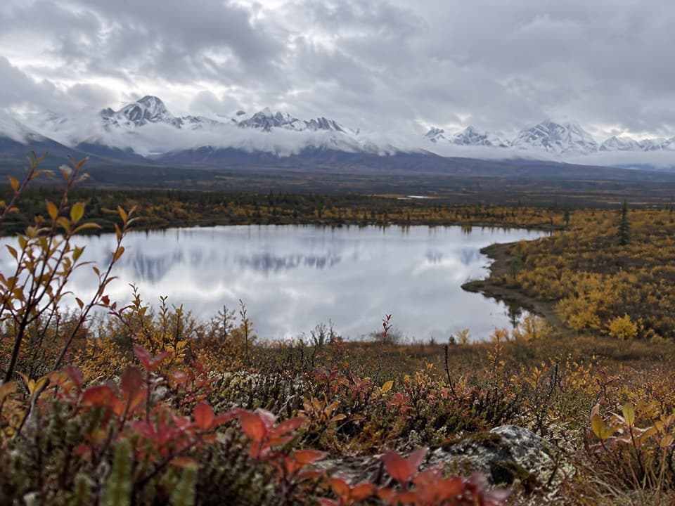
  • The lake is a destination for lake trout and Arctic grayling fishing.

Heads up

  • The route is an unmaintained, unmarked ORV track with potentially boggy ground.
  • Mapped and published distances disagree, and the exact parking access is unclear.

Map & elevation

The route

Loading the Denali Highway map
Full map
Elevation3,136–3,379 ft
TrailheadButte Lake route access, Denali Highway mile 9463.23800, -147.79174
Keep this map with you offline in the Parkwolf app

Plan your hike

Before you go

Parking

Use the Butte Lake route access on the south side of Denali Highway near mile 94. A road guide describes a well-used access road to the trailhead but does not name a lot. The primitive pond-side parking area at mile 94.5 is nearby and is not confirmed as this trailhead.

Safety

This is an unmaintained, unmarked ORV route over potentially wet tundra. The mapped line measures 3.25 miles one way, while a road guide reports five miles to the lake. Confirm the access and distance on a topographic map, check current pedestrian access, and expect soft or boggy ground. The pet rule is not confirmed.

A park ranger sits on a dash-mounted phone, talking, as Parkwolf’s Tour Guide plays “Army Cutworm Moths: A Grizzly Bear Buffet” on Grand Loop Road below Dunraven Pass in Yellowstone
Parkwolf Tour GuideThe highest, rockiest slopes around here are a summer buffet for grizzly bears.

Denali Highway Tour Guide

Your drive to Butte Lake Trail, narrated.

Parkwolf is a GPS audio tour guide for Denali Highway. As you drive, it chimes in with what’s ahead: hidden gems, upcoming stops, history, geology, and wildlife, right through your car’s speakers.

See the Denali Highway audio tour

Recorded for this trailhead

Butte Lake Trail: Plan for Rough Ground
0:00 / 0:25
“You're nearing the access for Butte Lake Trail, an unmarked off-road vehicle track to a lake with lake trout and Arctic grayling.”

Plays as you drive up to this trailhead in the Parkwolf Denali Highway Tour Guide.

More stories near here in the app

  • The Peat That Kept Ice Frozen
  • Alaska Range Interpretive Overlook: The Unmarked Turnoff
  • Mountains Still Being Built
  • The Seeds Waiting in a Black Spruce
  • 96 audio storiesacross Denali Highway’s roads, triggered by GPS as you drive
  • Wildlife heatmapsfor Moose, Caribou, Bald Eagle, and 10 more
  • Works offlinemaps, 18 trails, 27 places, and audio download before you lose signal
  • CarPlay readysimple controls built for the drive
★★★★★
“Fantastic app with many points of information… It’s great to just turn on while you’re driving and it gives you an audio tour of the national Park. We love it!!!!”
JMJamesApp Store review
Download Parkwolf on the App StoreGet Parkwolf on Google Play

4.7 from 8,600+ ratings

Trail guide

Hiking Butte Lake Trail

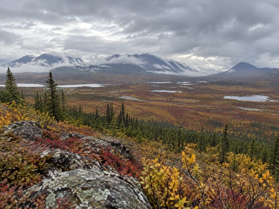
What you’re signing up forButte Lake Trail is an unmaintained ORV route from the Denali Highway near mile 94 to Butte…

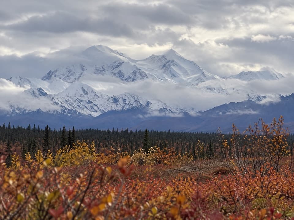
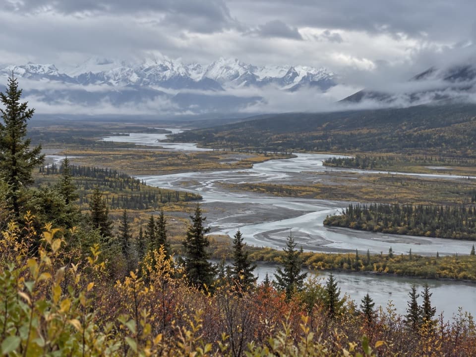
Butte Lake Trail is an unmaintained ORV route from the Denali Highway near mile 94 to Butte Lake. The mapped line is 3.25 miles each way, about 6.5 miles round trip. A printed road guide gives five miles to the lake, and an older inventory lists two nearby starts, so treat 6.5 as a mapped estimate rather than a settled distance. Check the access and route on a topographic map before leaving the highway.

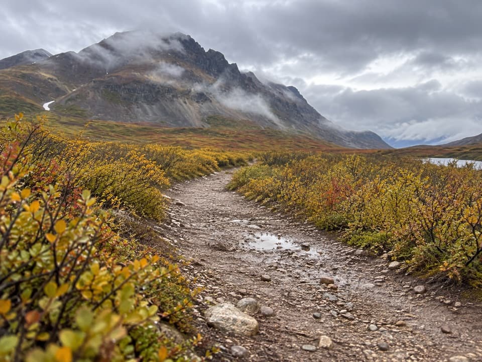
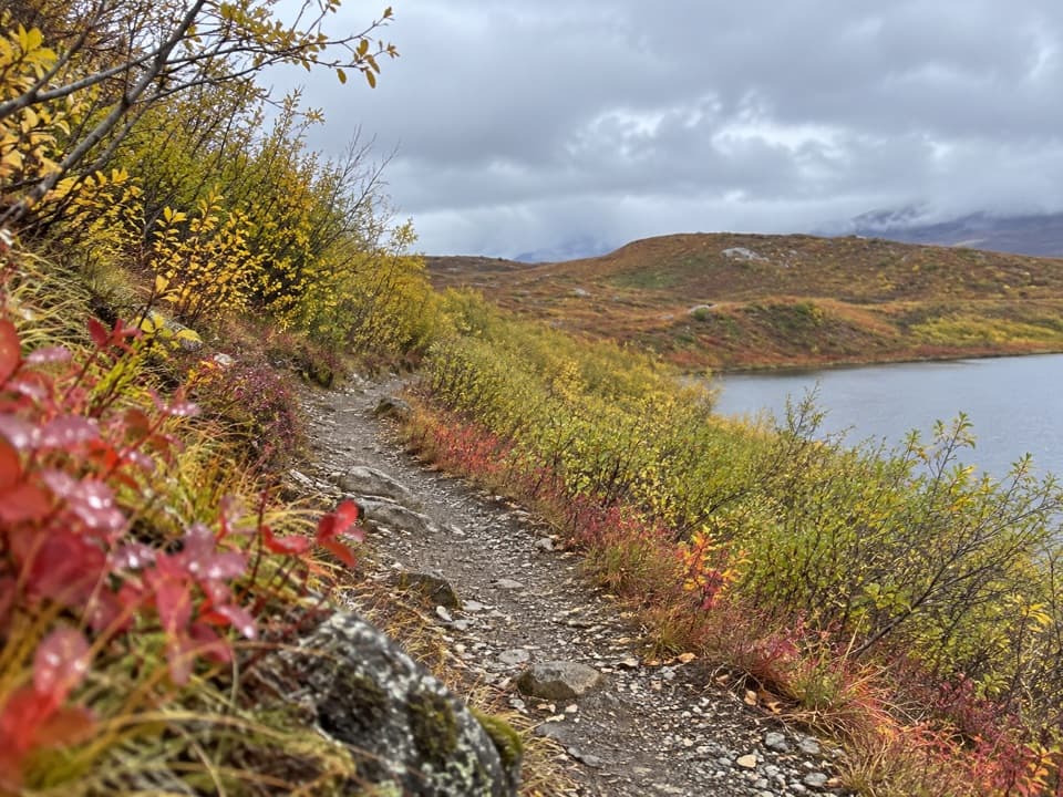
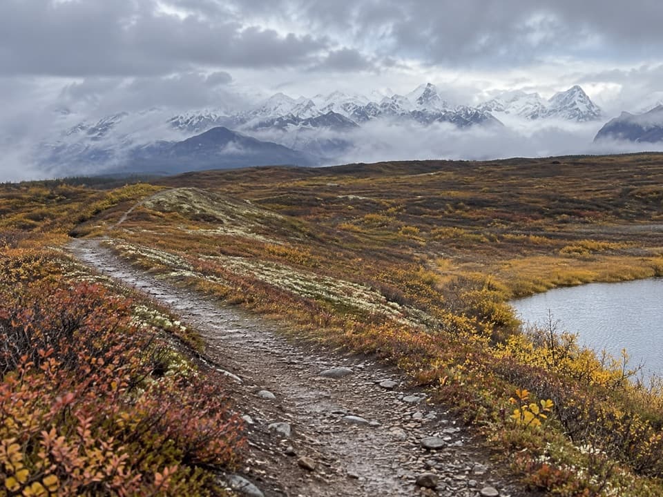
Underfoot and effortThis is not a built or signed hiking path.

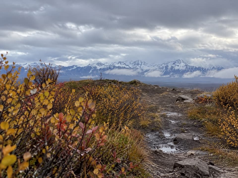
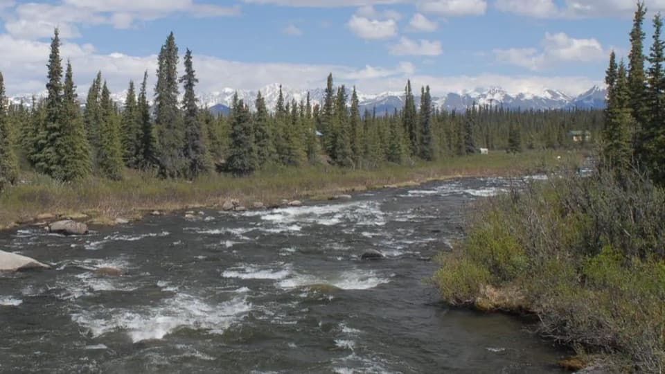
This is not a built or signed hiking path. Most trails along the highway are unmarked, and wet spots can call for rubber boots. One visitor account describes Butte Lake as marshy in wet years. The elevation profile gains about 70 meters from the road to the lake, with roughly 90 meters of total climbing; the bigger question is how soft the ground is when you go. Allow about four hours, with extra time if the route is wet or hard to follow.

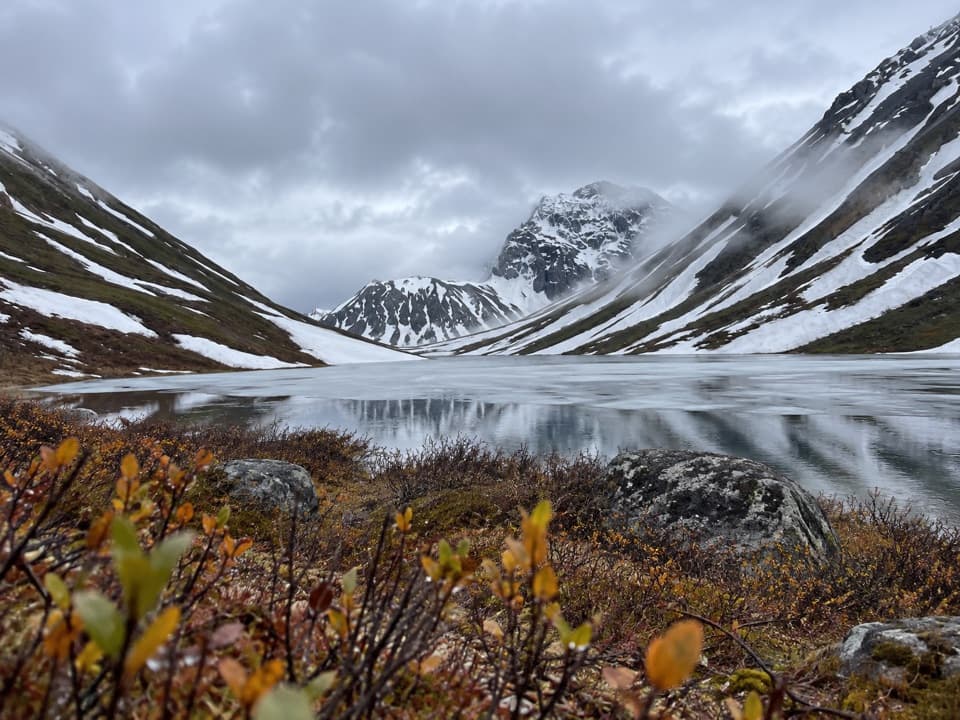
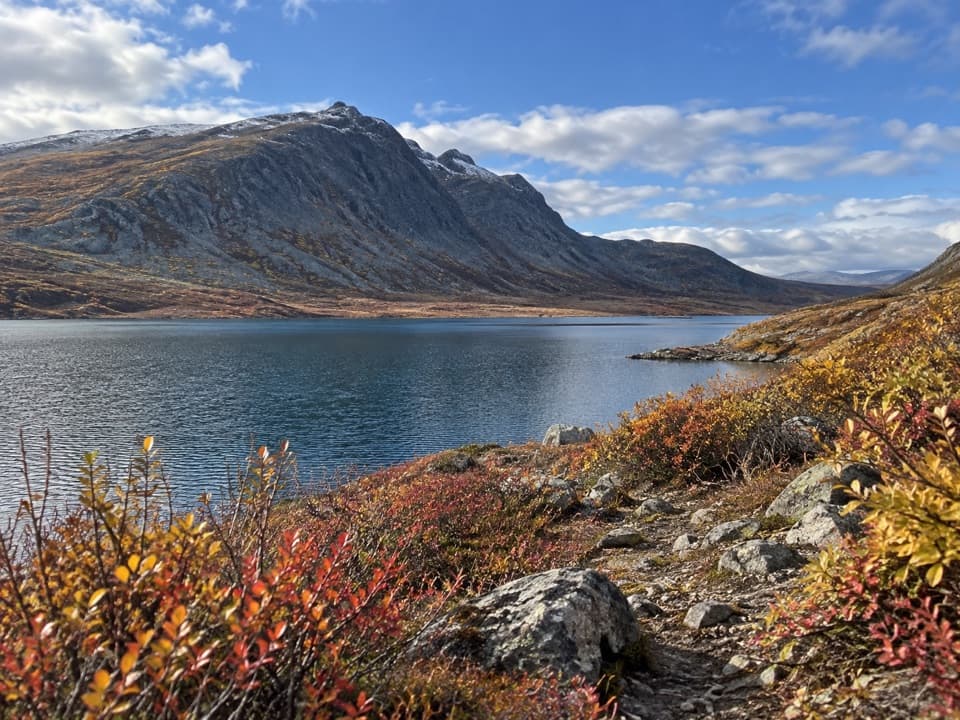
At Butte LakeThe route reaches the lake shore, where lake trout and Arctic grayling are found.

The route reaches the lake shore, where lake trout and Arctic grayling are found. A road guide recommends June through September for fishing. Treat the lake as your turnaround and retrace the same corridor; the mapped route does not show a loop or a trail continuing around the shore.

Finding the accessStart from the south side of the Denali Highway near mile 94.

Start from the south side of the Denali Highway near mile 94. A short, well-used road to the trailhead is reported, but no sign or formal lot is confirmed. A separate primitive parking and camping area above a pond near mile 94.5 is not verified as the same access. The highway is generally open from mid-May to around October 1; confirm current road and pedestrian access before setting out.

A palsa beside the roadNear mile 94, road construction in 1957 cut into a partly collapsed palsa and hastened its…

Near mile 94, road construction in 1957 cut into a partly collapsed palsa and hastened its deterioration. A palsa is a low mound of peat and ground ice. Several nearby kettle lakes formed when chunks of glacial ice were buried in debris and later melted.

Wildlife

Wildlife in Denali Highway

All Denali Highway wildlife maps

Sighting maps show where each species has been reported across Denali Highway. Wildlife moves, so no sighting is guaranteed.

Parkwolf’s Denali Highway ranking

Top-rated trails in Denali Highway

All 18 trails
  1. 1Landmark Gap Trail NorthEasy · 5.1 mi
  2. 2Swede Mountain TrailChallenging · 1.8 mi
  3. 3Tangle Lakes Foot TrailEasy · 1 mi
  4. 4Maclaren Summit TrailChallenging · 19 mi
  5. 5Glacier Gap Lake to Sevenmile Lake TrailChallenging · 17 mi
  6. 6Osar Lake TrailModerate · 14.2 mi

Take Parkwolf to Denali Highway.

The audio tour guide for the drive, plus offline maps, trails, and wildlife heatmaps for when the signal drops.

4.7 from 8,600+ ratings

Download Parkwolf on the App StoreGet Parkwolf on Google Play