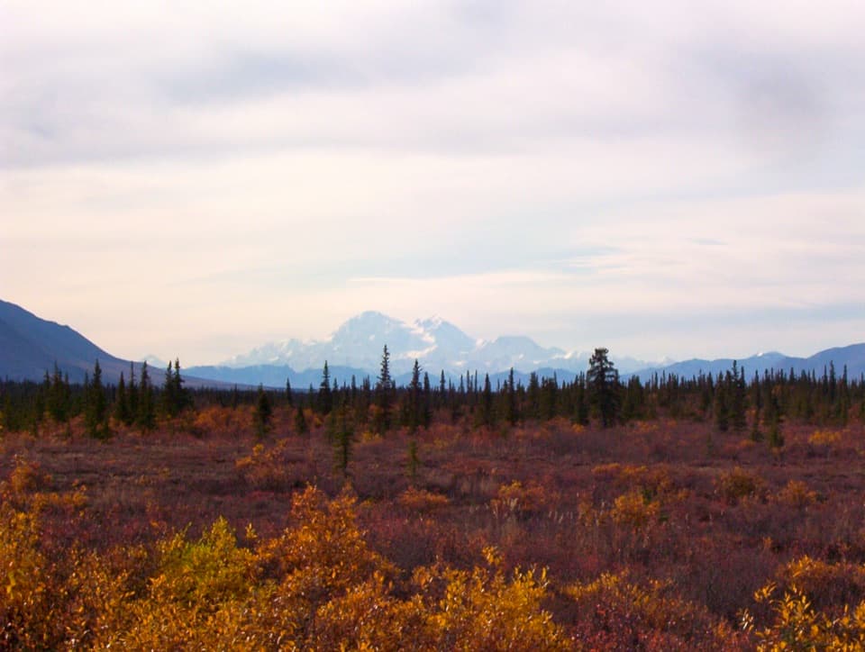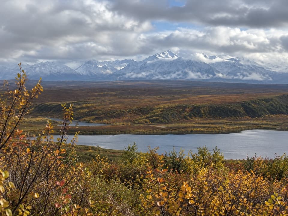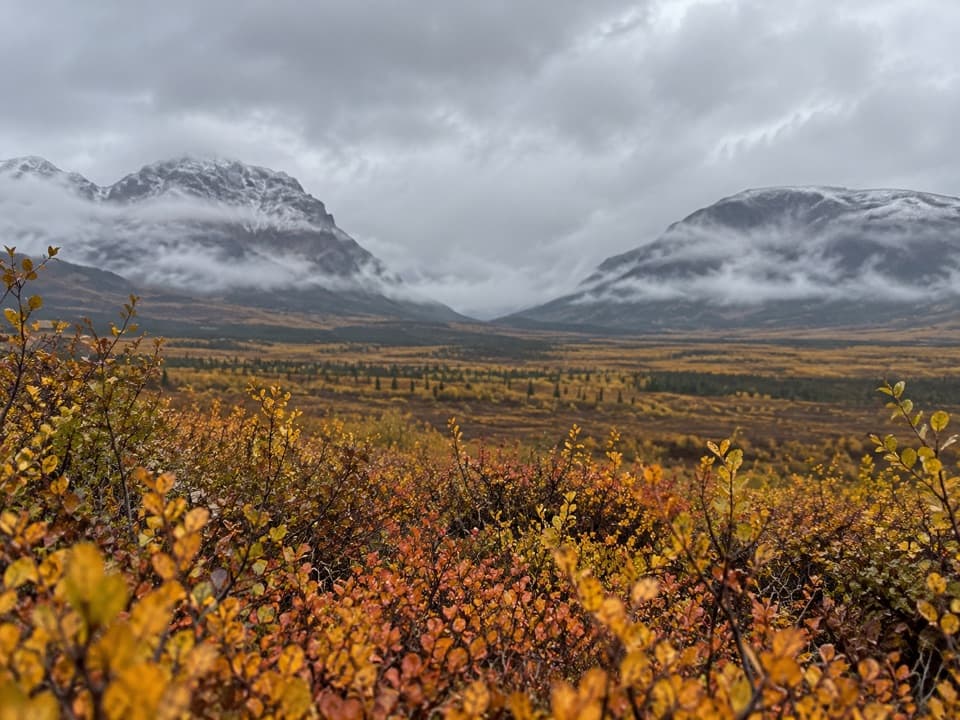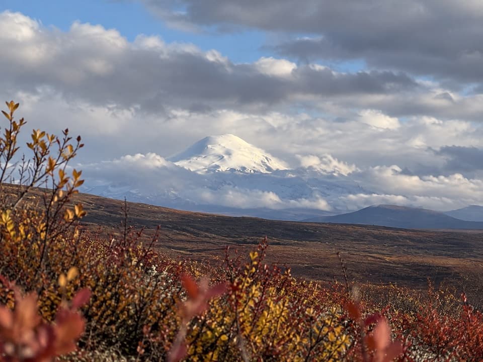
Overview
About Waterfowl Lakes Viewpoint
Why stop
- Several pullouts and tracks make it easy to reach the lakeshore.
Heads up
- The brief stop sits on a long, seasonal gravel highway.
Map
Where it is

The highest, rockiest slopes around here are a summer buffet for grizzly bears.
Denali Highway Tour Guide
Your drive to Waterfowl Lakes Viewpoint, narrated.
Parkwolf is a GPS audio tour guide for Denali Highway. As you drive, it chimes in with what’s ahead: hidden gems, upcoming stops, history, geology, and wildlife, right through your car’s speakers.
See the Denali Highway audio tourRecorded for this place
Waterfowl Lakes: A Few Minutes for the Birds“Up ahead is Waterfowl Lakes Viewpoint, where a string of roadside ponds makes a short birdwatching stop. In summer, look for ducks, geese and grebes on the open water, then scan the marshy edges for shorebirds.”
Plays as you drive up to Waterfowl Lakes Viewpoint in the Parkwolf Denali Highway Tour Guide.
More stories near here in the app
- How a Porcupine Lets Go of a Quill
- What the White Tufts Are For
- Built to Dive
- The Soil Builders Beneath the Alders
- 96 audio storiesacross Denali Highway’s roads, triggered by GPS as you drive
- Wildlife heatmapsfor Moose, Caribou, Bald Eagle, and 10 more
- Works offlinemaps, 18 trails, 27 places, and audio download before you lose signal
- CarPlay readysimple controls built for the drive
“Fantastic app with many points of information… It’s great to just turn on while you’re driving and it gives you an audio tour of the national Park. We love it!!!!”


Guide
More about Waterfowl Lakes Viewpoint
A quick birding stopWaterfowl Lakes is a string of lakes and ponds beside the Denali Highway, with the interpretive…
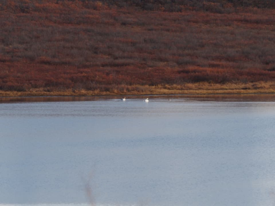
Waterfowl Lakes is a string of lakes and ponds beside the Denali Highway, with the interpretive sign just north of the road. Pull into one of the gravel areas for a scan, or follow a track down to the shore. Come for the birds and water, and bring food and drinking water for the drive.
Give the ponds a lookThe lakes are summer habitat for waterfowl and shorebirds.
The lakes are summer habitat for waterfowl and shorebirds. Watch for diving and dabbling ducks, geese, grebes and shorebirds; bald eagles, moose, caribou, beaver and fox may turn up nearby. Other lakes along the highway can hold trumpeter swans, loons, long-tailed ducks, Arctic terns and red-necked phalaropes. For a photo, keep the marshy bank in the frame with any birds you spot; it gives the open water a sense of scale.
Plan for the roadThe Denali Highway runs 135 miles between Paxson and Cantwell.
The Denali Highway runs 135 miles between Paxson and Cantwell. Most of it is gravel, and it’s generally open from mid-May through October 1. Plan around that season and take it slow; the BLM recommends no more than 35 mph on gravel. This is a short stop on a long road, so there’s no need to rush the drive.
Wildlife
Wildlife in Denali Highway
 56 sightingsMooseMost seen around 7 PMSighting map
 37 sightingsCaribouMost seen around 8 PMSighting map
 26 sightingsBald EagleMost seen around 11 AMSighting map
 33 sightingsTrumpeter SwanMost seen around 7 PMSighting map
 25 sightingsBeaverMost seen around 9 PMSighting map
 17 sightingsPorcupineMost seen around 10 PMSighting map
Sighting maps show where each species has been reported across Denali Highway. Wildlife moves, so no sighting is guaranteed.