Overview
About Crazy Notch
Why stop
- A geological feature the highway passes through.
Heads up
- No dedicated safe viewing pullout is confirmed.
Map
Where it is

The highest, rockiest slopes around here are a summer buffet for grizzly bears.
Denali Highway Tour Guide
Your drive to Crazy Notch, narrated.
Parkwolf is a GPS audio tour guide for Denali Highway. As you drive, it chimes in with what’s ahead: hidden gems, upcoming stops, history, geology, and wildlife, right through your car’s speakers.
See the Denali Highway audio tourRecorded for this place
Crazy Notch: Through the Glacier’s Old Ridge“Crazy Notch is ahead, where the highway winds through a ridge of debris left beside the former Maclaren Glacier. A glacial stream cut this gap through the ridge, and it now catches deep winter snowdrifts.”
Plays as you drive up to Crazy Notch in the Parkwolf Denali Highway Tour Guide.
More stories near here in the app
- The Soil Builders Beneath the Alders
- A Redpoll's Built-In Seed Store
- Built to Dive
- Maclaren River: Valley View and a Roadhouse Meal
- 96 audio storiesacross Denali Highway’s roads, triggered by GPS as you drive
- Wildlife heatmapsfor Moose, Caribou, Bald Eagle, and 10 more
- Works offlinemaps, 18 trails, 27 places, and audio download before you lose signal
- CarPlay readysimple controls built for the drive
“Fantastic app with many points of information… It’s great to just turn on while you’re driving and it gives you an audio tour of the national Park. We love it!!!!”


Guide
More about Crazy Notch
What it isCrazy Notch is a gap cut through the lateral moraine of the former Maclaren Glacier, on the…
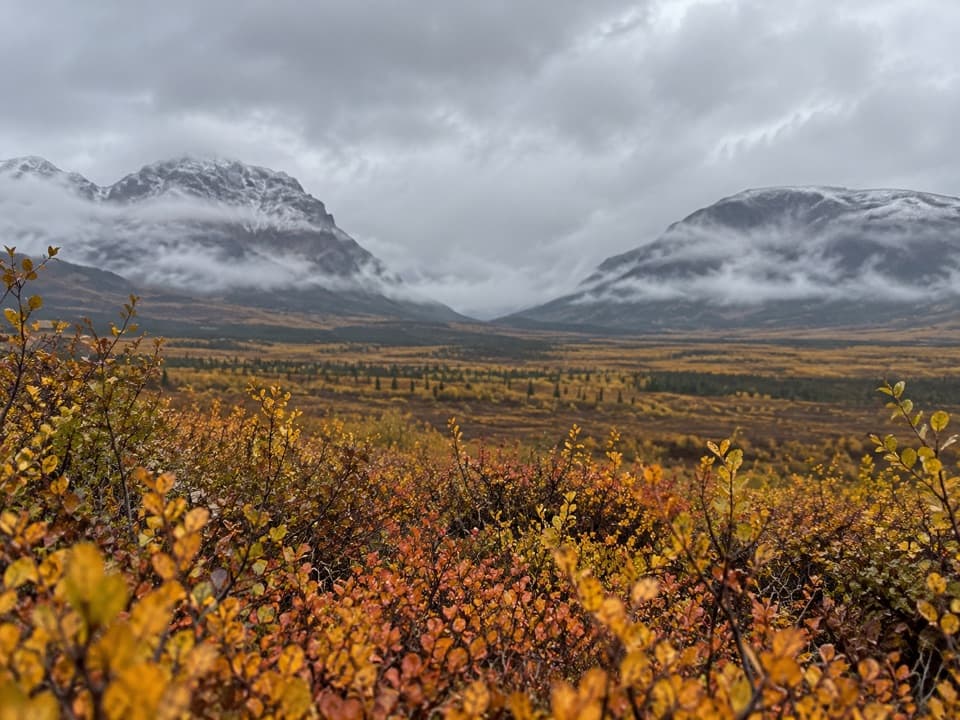
Crazy Notch is a gap cut through the lateral moraine of the former Maclaren Glacier, on the Denali Highway near milepost 46. The road winds through it, so think of this as a geology landmark to watch for from the drive, not a separate trail or developed attraction.
The glacier's old pathThe Maclaren Glacier once flowed through the valley and left a ridge of rock and sediment along…
The Maclaren Glacier once flowed through the valley and left a ridge of rock and sediment along its side. A glacial stream cut through that ridge to make the notch. It’s a quick, visible piece of the ice-age landscape around the highway.
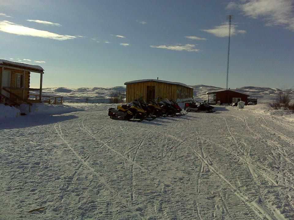
A winter snow trapThe notch catches drifting snow, and large drifts here help close the Denali Highway in winter.
The notch catches drifting snow, and large drifts here help close the Denali Highway in winter. No dedicated safe pullout has been verified for Crazy Notch, so plan to view it from the drive; don’t stop on the roadway or shoulder. If you find a safe, legal turnout, the road threading between the moraine slopes is the view to frame.
Wildlife
Wildlife in Denali Highway
 56 sightingsMooseMost seen around 7 PMSighting map
 37 sightingsCaribouMost seen around 8 PMSighting map
 26 sightingsBald EagleMost seen around 11 AMSighting map
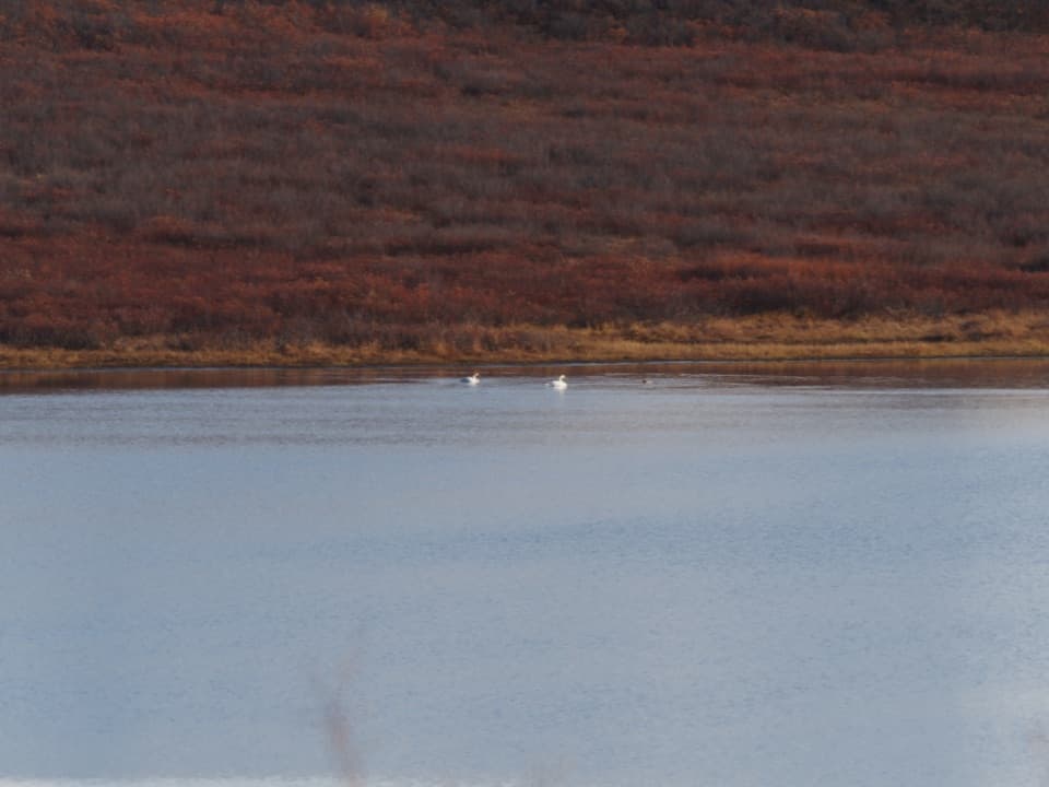
 33 sightingsTrumpeter SwanMost seen around 7 PMSighting map
 25 sightingsBeaverMost seen around 9 PMSighting map
 17 sightingsPorcupineMost seen around 10 PMSighting map
Sighting maps show where each species has been reported across Denali Highway. Wildlife moves, so no sighting is guaranteed.