1 active Denali alert
- InfoDenali Park Road open to Mile 3The Denali Park Road is open to vehicles only as far as Mile 3 (Park Headquarters); snow beyond that point prevents vehicle travel, though pedestrians may continue.Official details
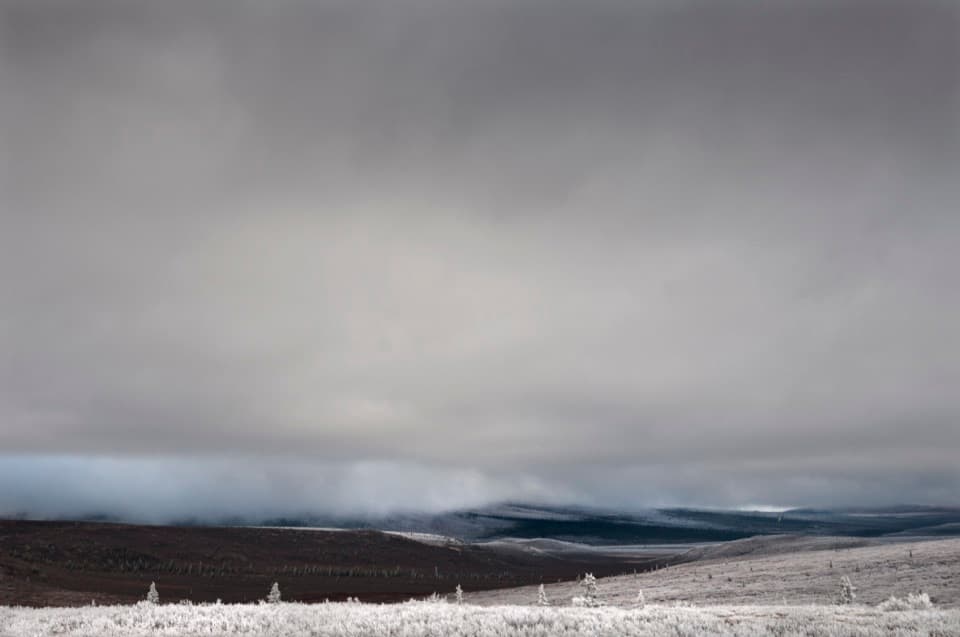
Sight · Denali National Park
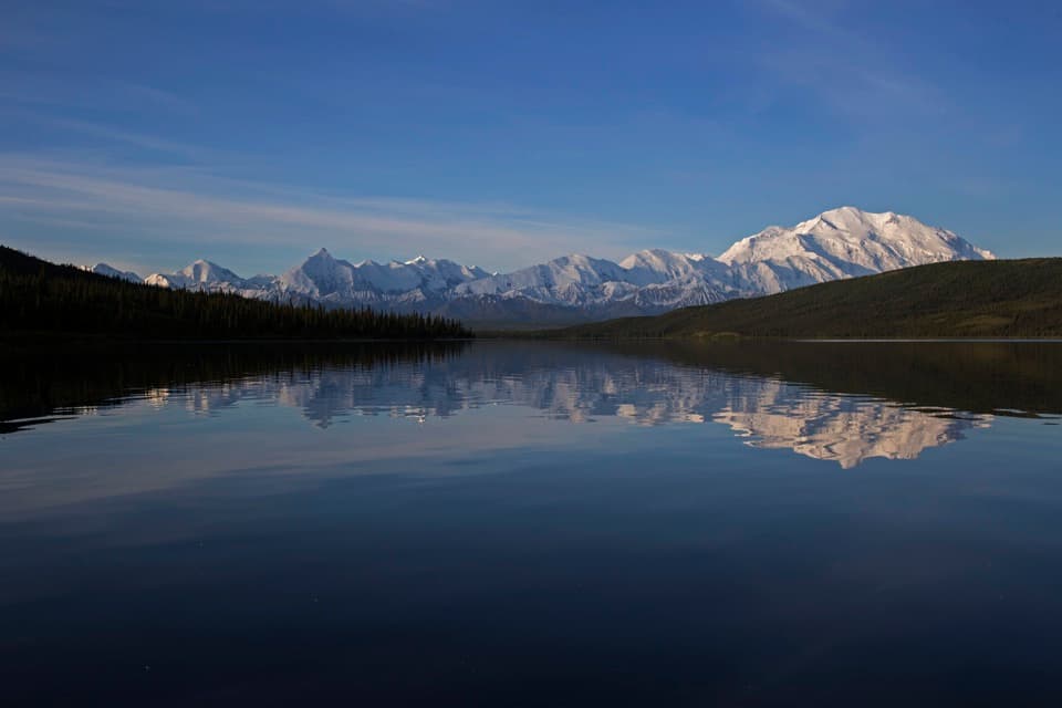
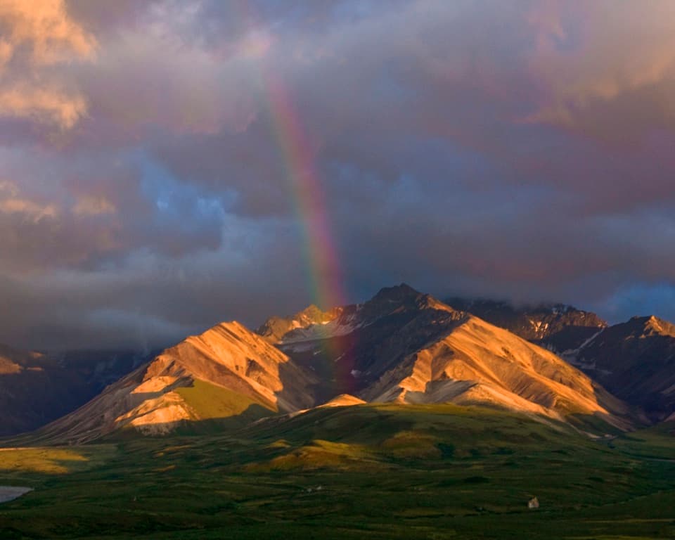
A high tundra stop with vivid orange and red fall color.
Photo: NPS Photo / Tim Rains
Overview
Map
Plan your stop

The highest, rockiest slopes around here are a summer buffet for grizzly bears.
Denali Tour Guide
Parkwolf is a GPS audio tour guide for Denali National Park. As you drive, it chimes in with what’s ahead: hidden gems, upcoming stops, history, geology, and wildlife, right through your car’s speakers.
See the Denali audio tourRecorded for this place
Primrose Pass in Fall“You're approaching Primrose Pass, where low tundra shrubs turn vivid orange and red in fall. That's when I'd especially want a pause here to look across the rolling ground.”
Plays as you drive up to Primrose Pass in the Parkwolf Denali Tour Guide.
More stories near here in the app
“Fantastic app with many points of information… It’s great to just turn on while you’re driving and it gives you an audio tour of the national Park. We love it!!!!”


Guide
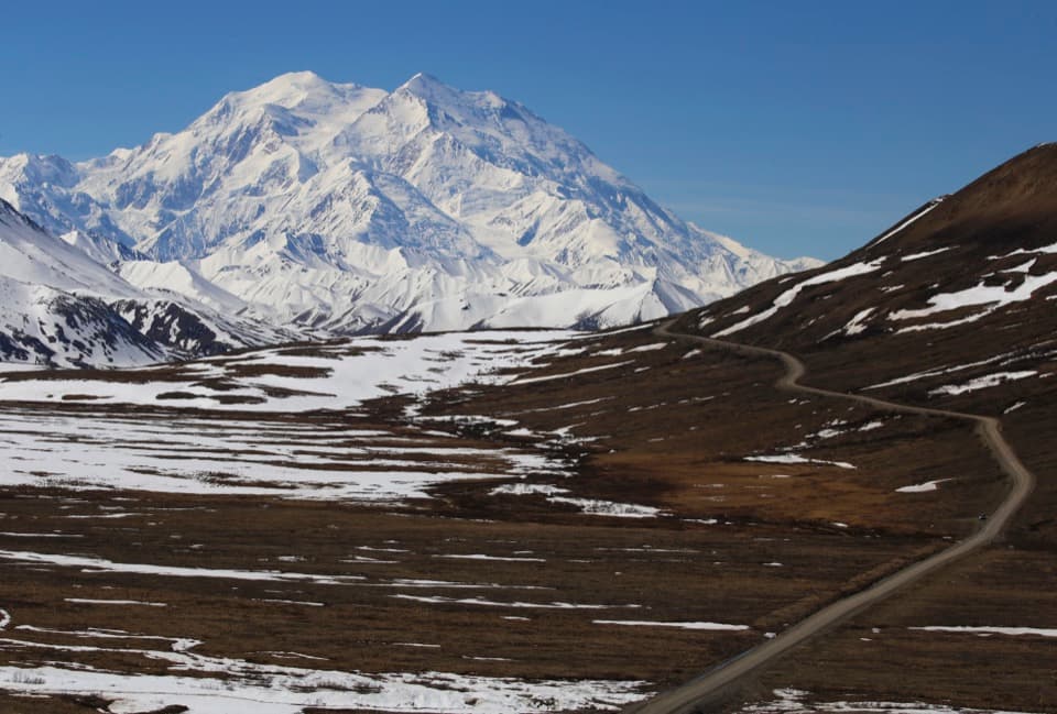
Primrose Pass is a high, open stretch of tundra just west of Savage River, where Denali's landscape lifts above the tree line. Keep it in your plans if you want a closer look at that open country; its appeal is the change from forest to low rolling ground, not a developed attraction.
Access depends on conditions and the season. Visitors can reach Savage River and walk up Denali Park Road to take in the pass, or use a free bus during the main summer season. Parking at Savage River is extremely limited and often fills around midday, so use the shuttle when it is running. A seasonal restroom is listed at the pass, but its type and operating dates aren't specified.
The shrub tundra turns vivid orange and red in fall. Because the pass sits relatively high, it can be one of the first areas along the early miles of the road to get fall snow. For a photo, keep the colored shrubs in the foreground; they give the open hillside its strongest seasonal detail.
Primrose Pass is a key stop on the Denali Natural History Tour. The tour also describes a Primrose Ridge stop at mile 17, with a presentation about nearly 10,000 years of Alaska Native use of the land. Its description doesn't establish whether that presentation takes place at the exact Primrose Pass rest-area point.
Wildlife
 716 sightingsGrizzly BearMost seen around 8 PMSighting map
 74 sightingsWolfMost seen around 8 PMSighting map
 49 sightingsCanada LynxMost seen around 9 PMSighting map
 797 sightingsMooseMost seen around 7 AMSighting map
 918 sightingsCaribouMost seen around 7 AMSighting map
 406 sightingsDall's SheepMost seen around 7 PMSighting map
Sighting maps show where each species has been reported across Denali. Wildlife moves, so no sighting is guaranteed.
Keep exploring
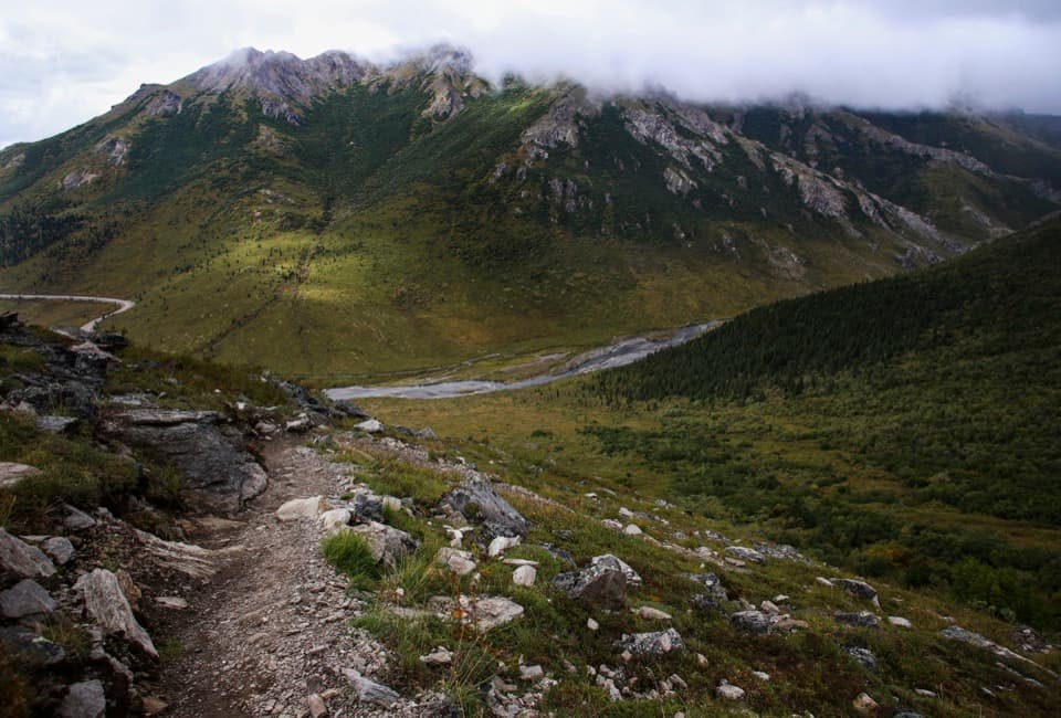 ChallengingSavage Alpine Trail4 mi · 3.5 hr · 2.2 mi awayA steep ridge traverse with Denali views on clear days.
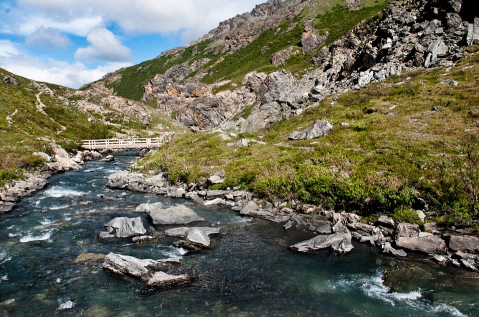 ModerateSavage River Loop Trail2 mi · 1.3 hr · 2.2 mi awayA short river-canyon loop with a footbridge crossing.
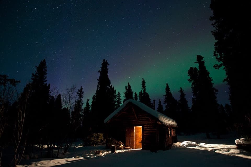 EasySavage Cabin Interpretive Loop Trail0.4 mi · 30 min · 3.1 mi awayAn easy gravel loop to a 1920s patrol cabin.
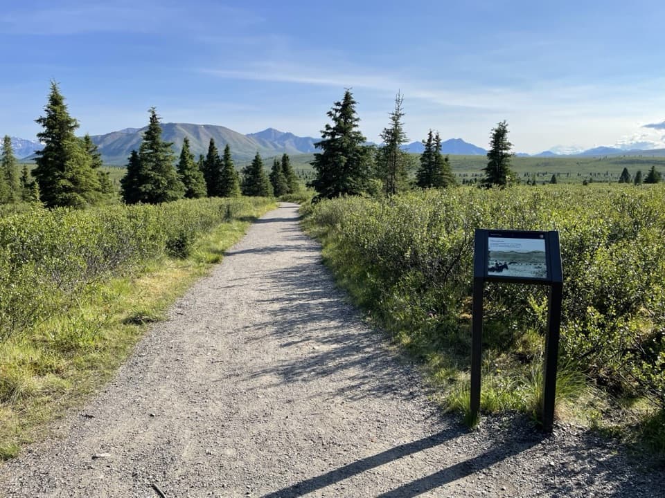 EasyMountain Vista Trail0.6 mi · 30 min · 3.3 mi awayA gentle loop for a clear-day look toward Denali.
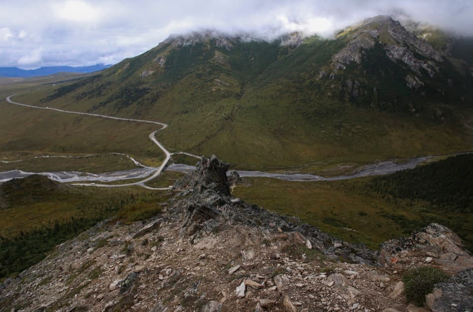 Sight · 2.1 mi awaySavage RiverA braided river and canyon where Denali’s public road turns to gravel.Sight · 3.1 mi awaySavage CabinA road crew cabin that became a winter patrol base.
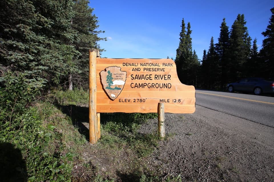 Campground · 3.2 mi awaySavage River CampgroundA wooded base camp with open river views a short walk away.
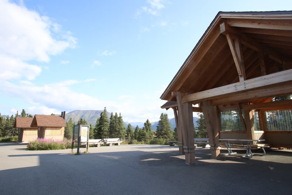 Picnic area · 3.3 mi awayMountain VistaA short, accessible loop with a chance at Denali.
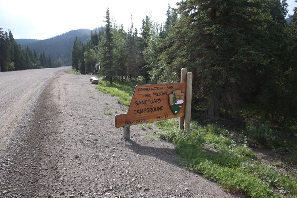 Campground · 3.5 mi awaySanctuary River CampgroundSeven tent sites tucked into the woods.
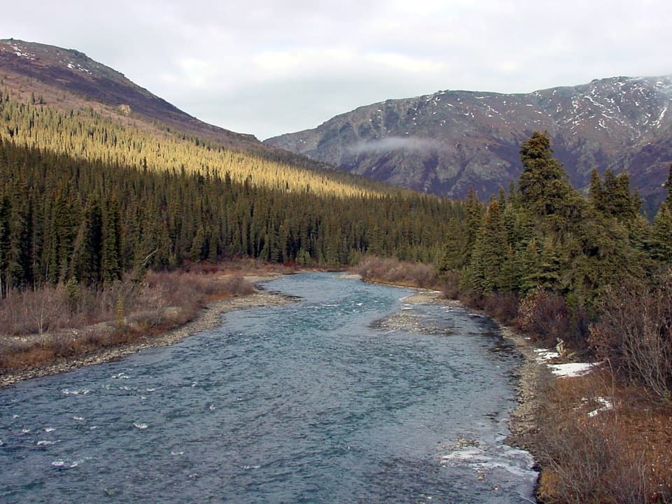 Sight · 3.5 mi awaySanctuary RiverA river kept cutting north as the mountains rose around it.
Parkwolf’s Denali ranking

The audio tour guide for the drive, plus offline maps, trails, and wildlife heatmaps for when the signal drops.