Savage Cabin Interpretive Loop Trail in Denali National Park

Denali National Park, AK

Savage Cabin Interpretive Loop Trail

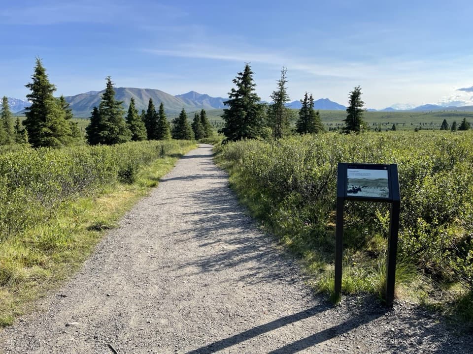
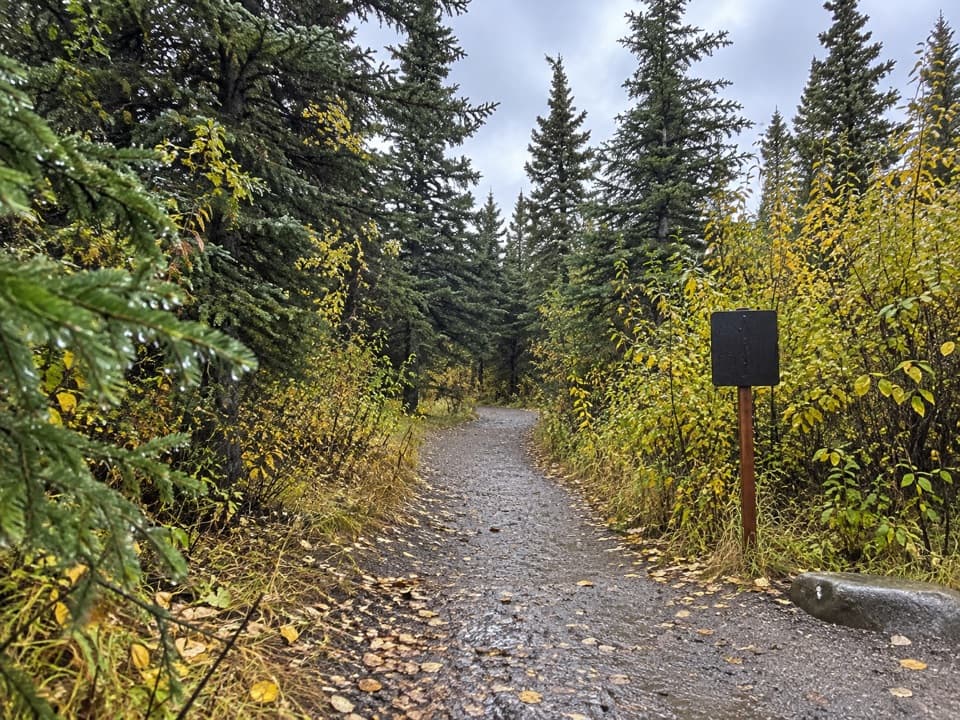
An easy gravel loop to a 1920s patrol cabin.

Photo: NPS Photo / NPS

Length
0.4mi
Time
30min
Elevation
Flat
Difficulty
Easy
  • Loop
  • No dogs
  • High point 2,805 ft

Hear the audio tour

Savage Cabin and the Road Builders

Overview

About Savage Cabin Interpretive Loop Trail

Why go

  • A brief, easy walk with a preserved patrol cabin and a clear 1920s story.

Heads up

  • Published distance estimates disagree, and Mile 13 access is seasonal.

Map & elevation

The route

Loading the Denali map
Full map
Elevation2,769–2,805 ft
TrailheadSavage Cabin Interpretive Trailhead63.71911, -149.26150
Keep this map with you offline in the Parkwolf app

Plan your hike

Before you go

Parking

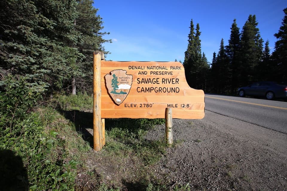
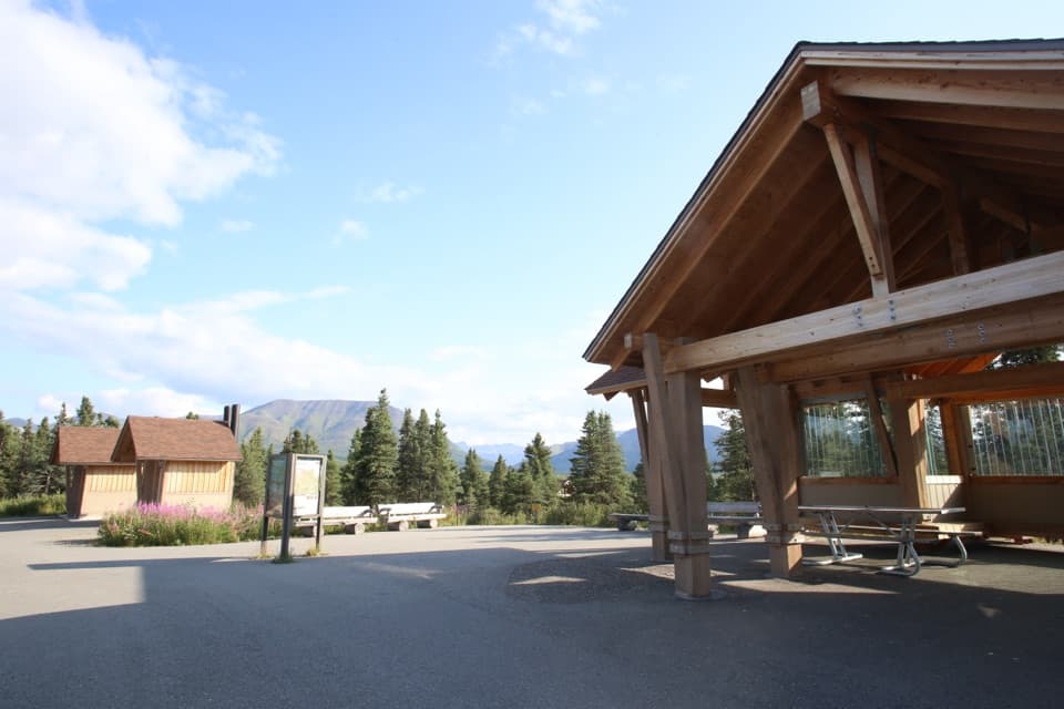
Follow Denali Park Road to Mile 13 and the Savage Cabin Interpretive Trailhead, near Savage River Campground and Mountain Vista. The Savage River shuttle serves this area when operating; road and shuttle access vary by season, so confirm your date’s route.

Safety

The loop uses a short stretch beside Denali Park Road; watch for passing vehicles. Pets are not permitted on this trail.

1 active Denali alert

  • InfoDenali Park Road open to Mile 3The Denali Park Road is open to vehicles only as far as Mile 3 (Park Headquarters); snow beyond that point prevents vehicle travel, though pedestrians may continue.Official details
Denali alerts
A park ranger sits on a dash-mounted phone, talking, as Parkwolf’s Tour Guide plays “Army Cutworm Moths: A Grizzly Bear Buffet” on Grand Loop Road below Dunraven Pass in Yellowstone
Parkwolf Tour GuideThe highest, rockiest slopes around here are a summer buffet for grizzly bears.

Denali Tour Guide

Your drive to Savage Cabin Interpretive Loop Trail, narrated.

Parkwolf is a GPS audio tour guide for Denali National Park. As you drive, it chimes in with what’s ahead: hidden gems, upcoming stops, history, geology, and wildlife, right through your car’s speakers.

See the Denali audio tour

Recorded for this trailhead

Savage Cabin and the Road Builders
0:00 / 0:31
“You're coming up on the Savage Cabin trailhead, for a short walk into the road's early history. Allow about half an hour to forty-five minutes for the easy loop and a look at the cabin.”

Plays as you drive up to this trailhead in the Parkwolf Denali Tour Guide.

More stories near here in the app

  • Mountain Vista Picnic Stop and Loop
  • Savage River and Canyon
  • A Raven's Aerial Games
  • A River That Builds Its Own Ice
  • 78 audio storiesacross Denali’s roads, triggered by GPS as you drive
  • Wildlife heatmapsfor Grizzly Bear, Wolf, Canada Lynx, and 13 more
  • Works offlinemaps, 21 trails, 53 places, and audio download before you lose signal
  • CarPlay readysimple controls built for the drive
★★★★★
“Fantastic app with many points of information… It’s great to just turn on while you’re driving and it gives you an audio tour of the national Park. We love it!!!!”
JMJamesApp Store review
Download Parkwolf on the App StoreGet Parkwolf on Google Play

4.7 from 8,600+ ratings

Trail guide

Hiking Savage Cabin Interpretive Loop Trail

The loopThis easy loop from the Savage Cabin Interpretive Trailhead visits a 1920s patrol cabin, then…

This easy loop from the Savage Cabin Interpretive Trailhead visits a 1920s patrol cabin, then returns on gravel paths and a short stretch beside Denali Park Road. The connected route measures about 0.35 mile and changes elevation by roughly 50 feet; allow 30–45 minutes to walk and pause at the cabin. One official trail map lists 0.8 mile round trip, while the mapped path and shorter trail descriptions are closer to a third of a mile. Treat the distance as approximate and follow the signed route on site.

A working patrol cabinThe Alaska Road Commission built Savage Cabin in 1924–25.

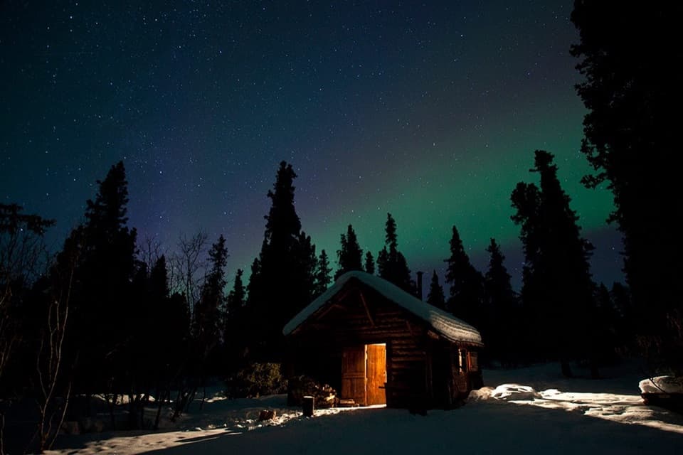
The Alaska Road Commission built Savage Cabin in 1924–25. It later became an interpretive stop for summer living-history programs, and winter patrols have used it for shelter. The cabin is the walk’s main payoff, rather than a long route or a major viewpoint.

Access and rulesThe trailhead is near Savage River Campground and Mountain Vista on Denali Park Road at Mile 13.

The trailhead is near Savage River Campground and Mountain Vista on Denali Park Road at Mile 13. Road and shuttle access to this area change by season, so check whether Mile 13 is reachable for your visit. Pets are not allowed on this trail; the Roadside Hiking Trail is a separate exception.

Wildlife

Wildlife in Denali

All Denali wildlife maps

Sighting maps show where each species has been reported across Denali. Wildlife moves, so no sighting is guaranteed.

Keep exploring

Near Savage Cabin Interpretive Loop Trail

See it all on the map

Trails that start nearby

Places near the trailhead

Parkwolf’s Denali ranking

Top-rated trails in Denali

All 21 trails
  1. 1Savage Alpine TrailChallenging · 4 mi
  2. 2Mount Healy Overlook TrailChallenging · 6.4 mi
  3. 3Horseshoe Lake TrailModerate · 2 mi
  4. 4Savage River Loop TrailModerate · 2 mi
  5. 5Thorofare Ridge TrailChallenging · 1.6 mi
  6. 6Triple Lakes TrailChallenging · 9.5 mi

Take Parkwolf to Denali.

The audio tour guide for the drive, plus offline maps, trails, and wildlife heatmaps for when the signal drops.

4.7 from 8,600+ ratings

Download Parkwolf on the App StoreGet Parkwolf on Google Play