Parking
Park at Mountain Vista Rest Area on Denali Park Road (around Mile 13). In summer, use the free Savage River Shuttle because parking is limited and often fills.
Denali National Park, AK
Easy roadside loop with interpretive signs and big mountain views
Overview
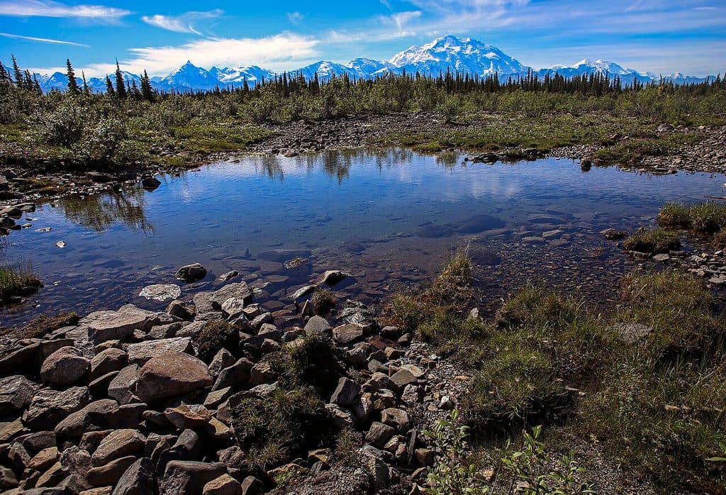
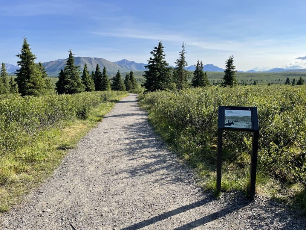
An accessible 0.6-mile loop from the Mountain Vista Rest Area at Mile 13 of the Denali Park Road. The compacted-gravel path begins and ends at the rest area, with panoramic views of the Savage River Valley and Mount Healy and, on sunny days, Mount McKinley. Interpretive signs explain the area's transition-zone vegetation. Midway around the loop, a short spur leads to the Savage River; it is not included in the 0.6-mile trail statistics and adds less than a mile. The loop is broadly accessible, with a 5% maximum grade and a 6-foot width. Parking is limited, so the free Savage River Shuttle is recommended in summer; bring layers because Mountain Vista is often windy and cooler than the park entrance. Wildlife may be present, so keep your distance and follow bear-safety guidance.
Map & elevation
Plan your hike

The highest, rockiest slopes around here are a summer buffet for grizzly bears.
Denali Tour Guide
Parkwolf is a GPS audio tour guide for Denali National Park. As you drive, it chimes in with what’s ahead: hidden gems, upcoming stops, history, geology, and wildlife, right through your car’s speakers.
See the Denali audio tourRecorded for this trailhead
Savage River Area & Turnaround“The part of the road you're on now brings you into the Savage River area, which is the turnaround point for most private vehicles.”
Plays as you drive up to this trailhead in the Parkwolf Denali Tour Guide.
More stories near here in the app
“Fantastic app with many points of information… It’s great to just turn on while you’re driving and it gives you an audio tour of the national Park. We love it!!!!”


Wildlife
 715 sightingsGrizzly BearMost seen around 8 PMSighting map
 74 sightingsWolfMost seen around 8 PMSighting map
 49 sightingsCanada LynxMost seen around 9 PMSighting map
 795 sightingsMooseMost seen around 7 AMSighting map
 917 sightingsCaribouMost seen around 7 AMSighting map
 405 sightingsDall's SheepMost seen around 7 PMSighting map
Sighting maps show where each species has been reported across Denali. Wildlife moves, so no sighting is guaranteed.
Keep exploring
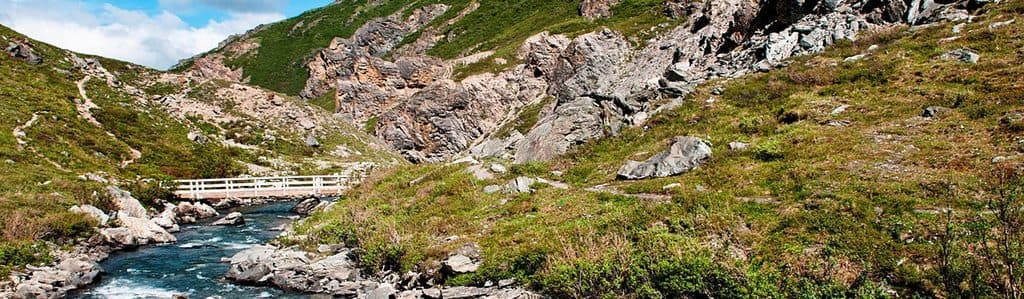 ChallengingSavage Alpine Trail4.2 mi · 2.8 hr · 0.1 mi awayStrenuous exposed alpine traverse with big views and a summer shuttle
 EasySavage River Loop Trail2 mi · 1.2 hr · 2 mi awayEasy river canyon loop with bridge, big tundra views, frequent wildlife
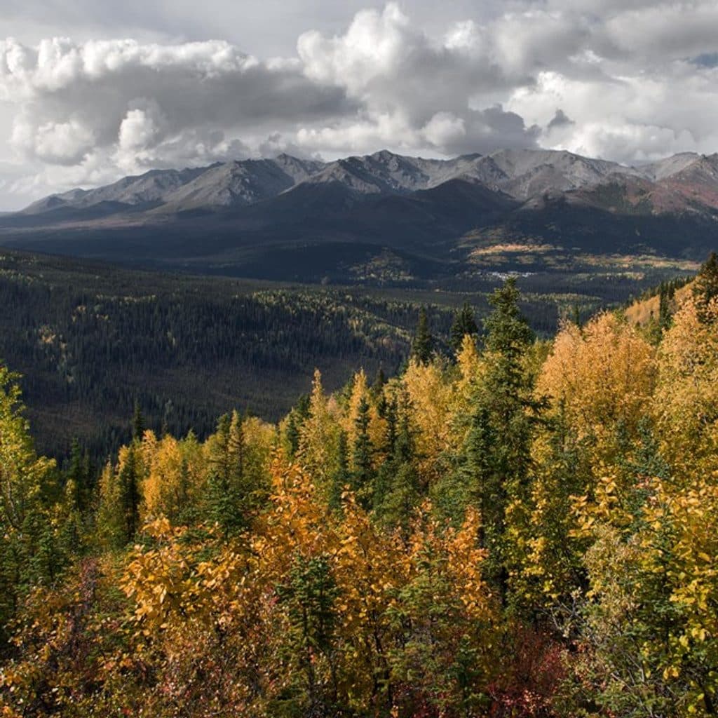 ChallengingMount Healy Overlook Trail5.4 mi · 4 hr · 10.2 mi awayA steep 2.7-mile climb to a windy overlook above Denali’s entrance area.EasySpruce Forest Trail0.3 mi · 15 min · 10.4 mi awayFlat 0.3-mile loop through quiet boreal spruce and birch near the Denali Visitor Center.
 EasyMorino Trail0.2 mi · 15 min · 10.4 mi awayShort spruce-forest connector between sections of the McKinley Station Trail
 EasyTaiga Trail1 mi · 30 min · 10.4 mi awayGentle one-way forest connector from the Denali Visitor Center to the Horseshoe Lake Trail
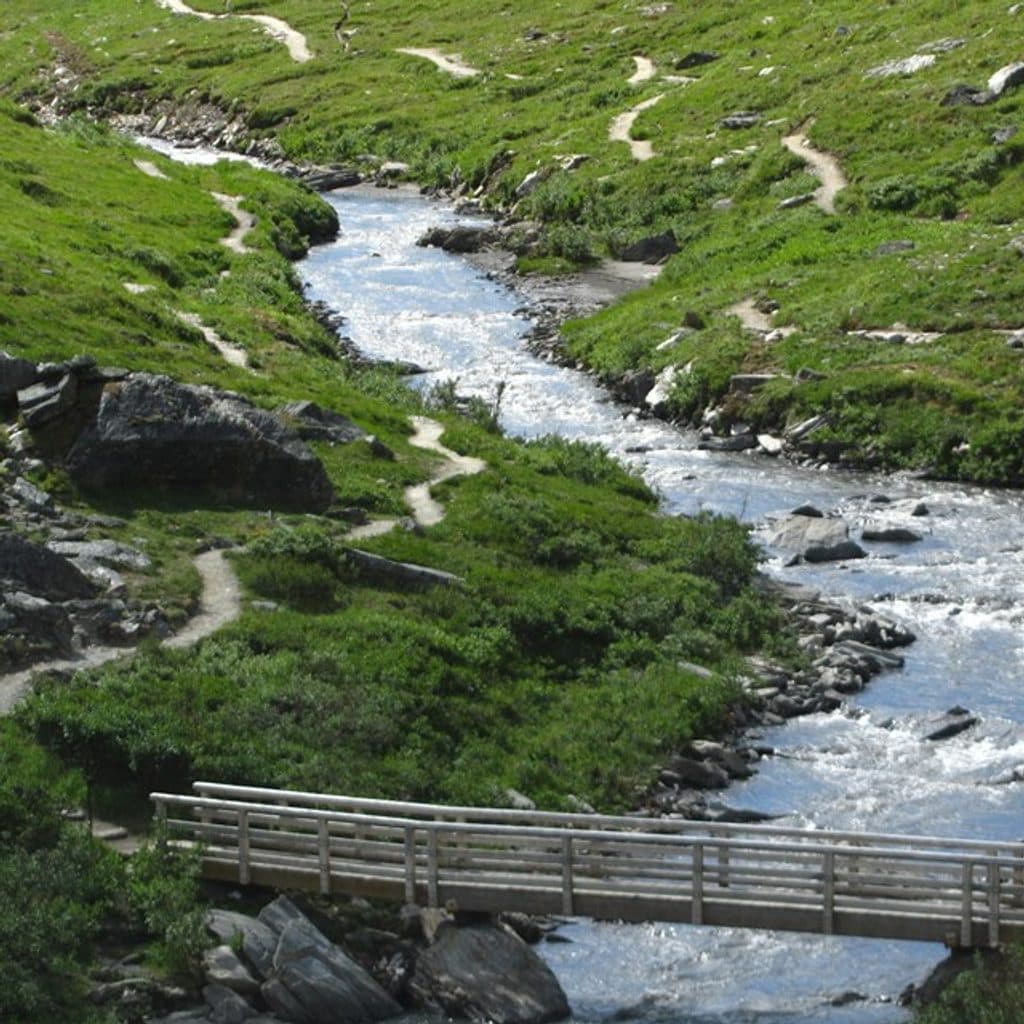 ModerateRock Creek Trail2.4 mi · 2 hr · 10.4 mi awayPoint-to-point forest walk from the Denali Visitor Center to the sled dog kennels
 EasyRoadside Trail1.8 mi · 2 hr · 10.4 mi awayOne-way forest route from the Denali Visitor Center to Park Headquarters and the Sled Dog Kennels
 Picnic area · At the trailheadMountain Vista Rest AreaEasy stop for Denali views, picnic tables, and a short loop
 Campground · 0.2 mi awaySavage River CampgroundQuiet, wooded base near Mile 15 with shuttle access and wildlife
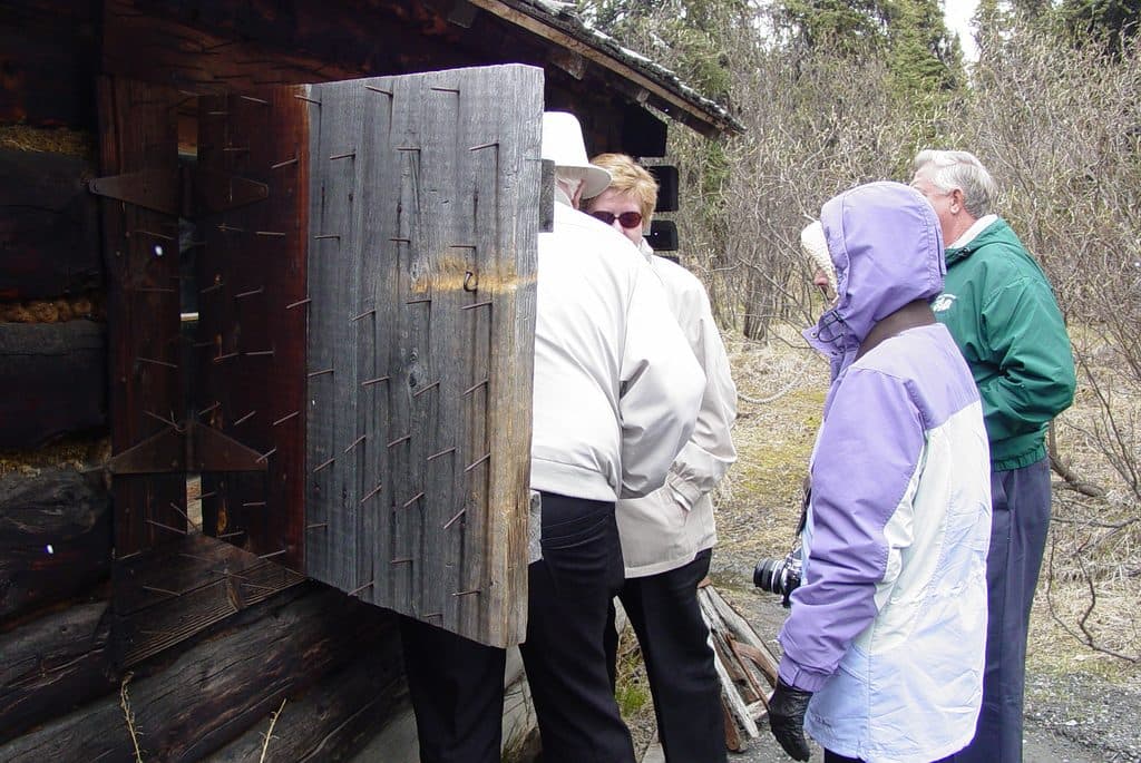 Sight · 0.4 mi awaySavage CabinHistoric 1920s patrol cabin on a short interpretive stroll
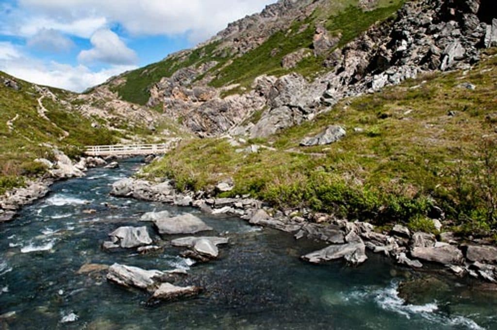 Sight · 2 mi awaySavage RiverDrive-to tundra valley with an easy loop and a big alpine climb
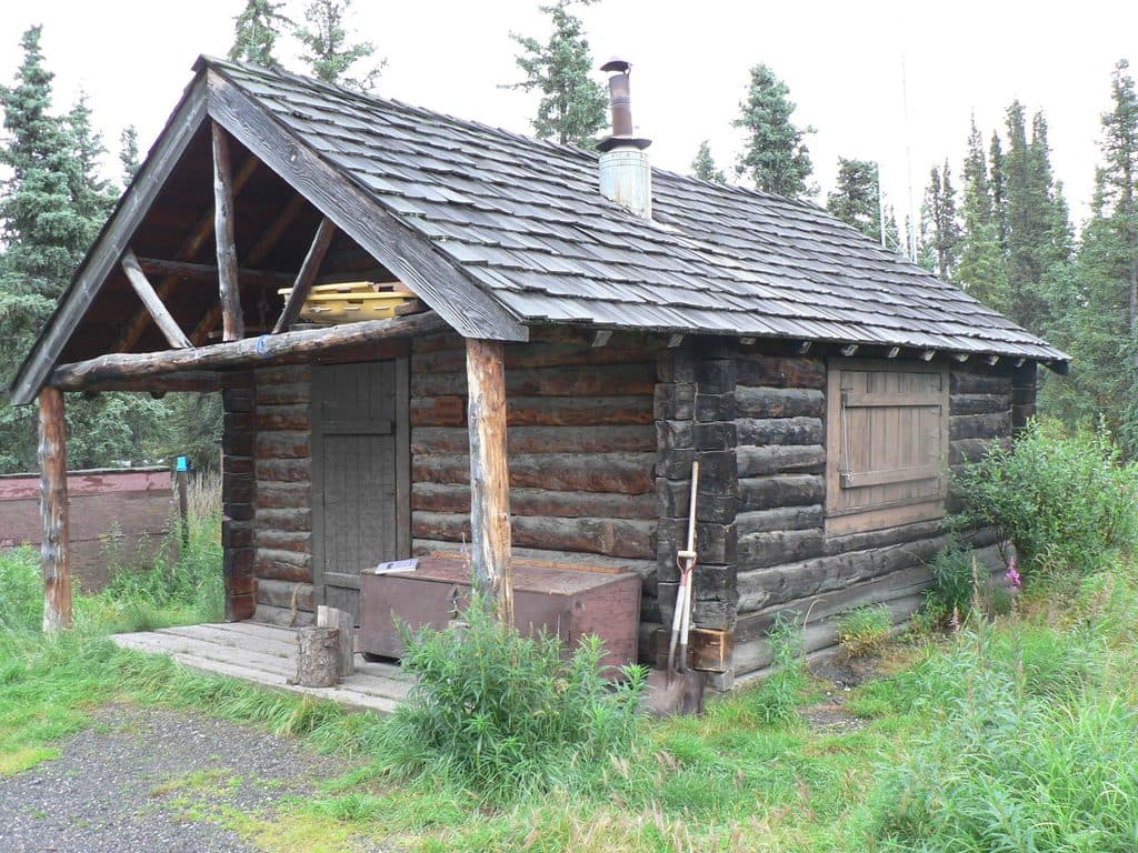 Sight · 6.7 mi awaySanctuary River Cabin No. 31Historic 1926 patrol cabin by the river, viewed from the outside
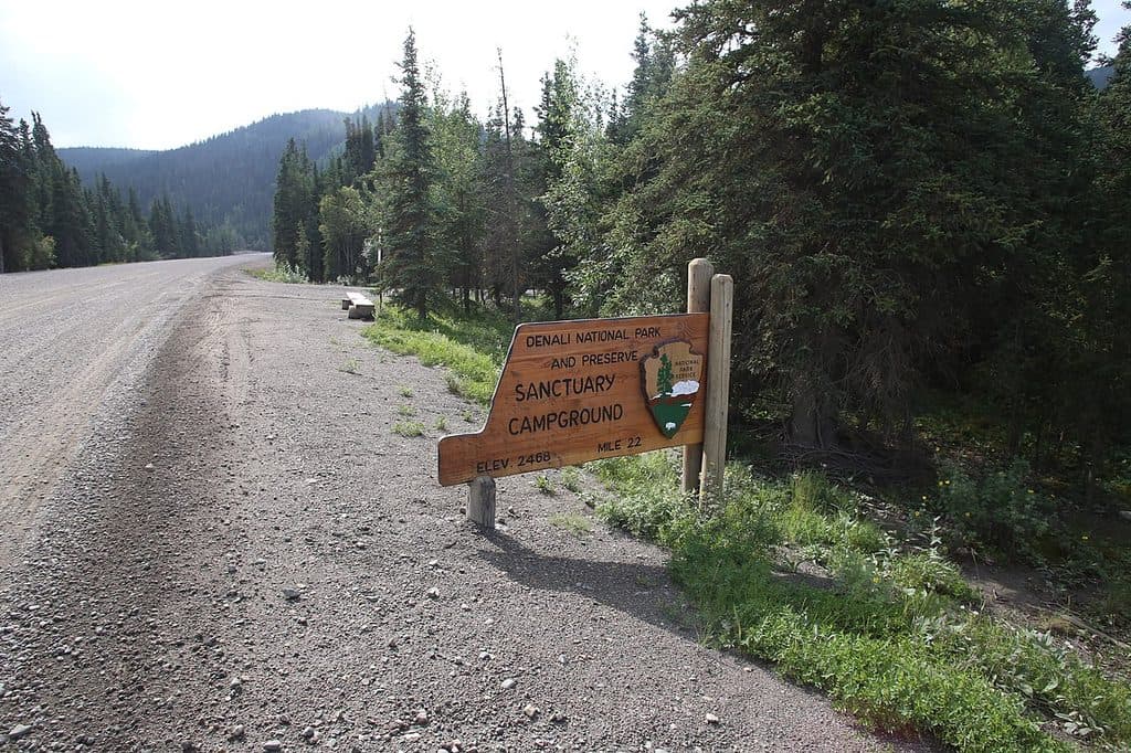 Campground · 6.7 mi awaySanctuary River CampgroundTiny, tent-only river camp with real solitude and a picnic shelter
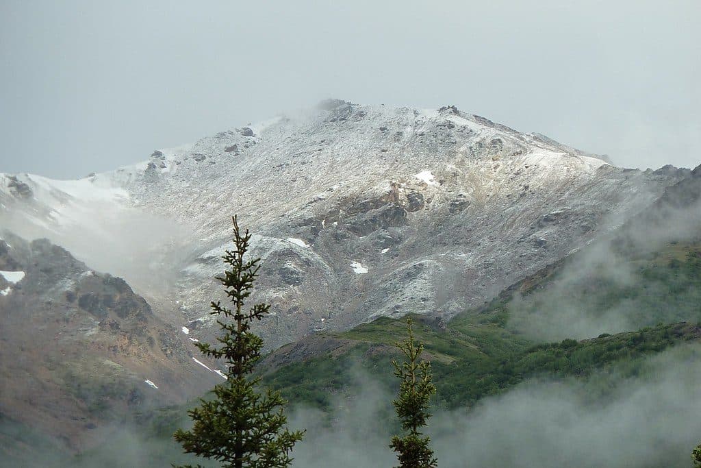 Sight · 8.6 mi awayMount HealyQuick climb to alpine tundra with big entrance-area views
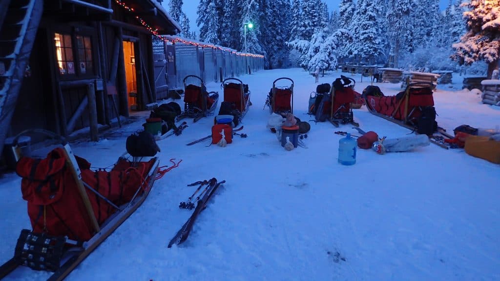 Sight · 8.8 mi awaySled Dog KennelsMeet working sled dogs at the park’s historic, still-active kennels
Parkwolf’s Denali ranking

The audio tour guide for the drive, plus offline maps, trails, and wildlife heatmaps for when the signal drops.