Parking
The trailhead is at Eielson Visitor Center on Denali Park Road (Mile 66). Access beyond Savage River is restricted and may require an authorized park bus or vehicle permit; check current NPS access rules before travel.

#7 of 17 trails in Denali
Denali National Park, AK
Steep 2-mile out-and-back from Eielson Visitor Center to Gorge Creek and the Thorofare River bars
Overview
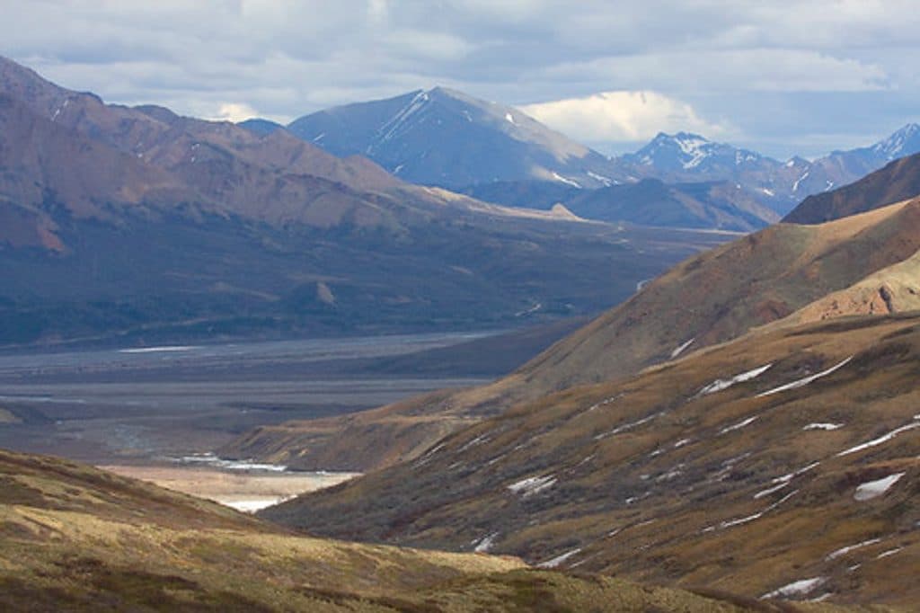
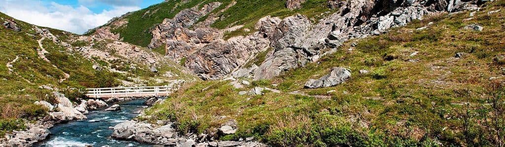
Starting at Eielson Visitor Center on Denali Park Road, this established trail descends to Gorge Creek and the Thorofare River bars. It is about 2.0 miles total (round-trip), with roughly 600 feet of descent on the way down and the same climb on the return. The route reaches the maintained trail's river-bar terminus and offers access to dramatic gorge scenery, broad gravel bars, and further off-trail dayhiking opportunities.
 Parkwolf’s verdictWhy hike it
Map & elevation
Plan your hike

The highest, rockiest slopes around here are a summer buffet for grizzly bears.
Denali Tour Guide
Parkwolf is a GPS audio tour guide for Denali National Park. As you drive, it chimes in with what’s ahead: hidden gems, upcoming stops, history, geology, and wildlife, right through your car’s speakers.
See the Denali audio tourRecorded for this trailhead
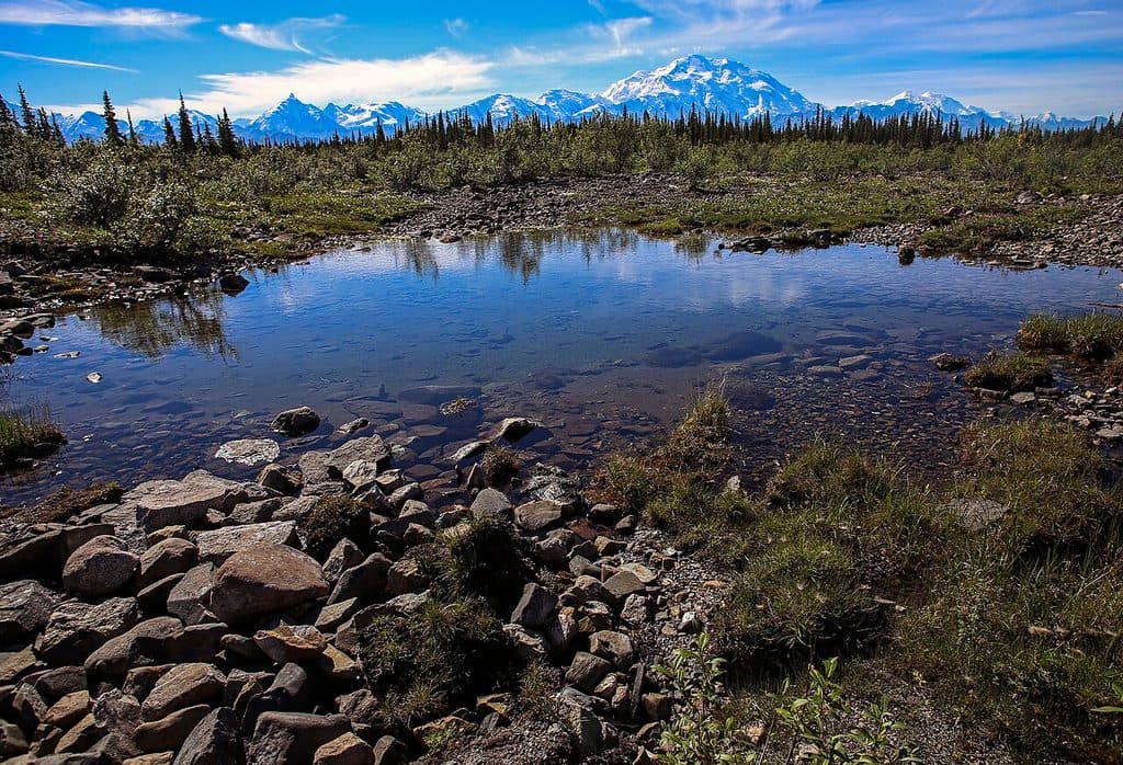
Eielson Visitor Center“You'll soon be at the Eielson Visitor Center, which for my money has the best views from anywhere on the Park Road. On a clear day, the sight of Denali and the Alaska Range from here is just spectacular.”
Plays as you drive up to this trailhead in the Parkwolf Denali Tour Guide.
More stories near here in the app
“Fantastic app with many points of information… It’s great to just turn on while you’re driving and it gives you an audio tour of the national Park. We love it!!!!”


Trail guide
The route is an out-and-back on a soil trail. The descent is sustained and can feel steep; the return climb is the demanding part of this short hike. The mapped corridor is approximately 0.87 miles one way, while the visitor distance is conventionally reported as about 2.0 miles round-trip. The trail ends at the Gorge Creek and Thorofare River bars; continuing beyond the maintained end is off-trail and may require a creek crossing.
Allow about 90 minutes for the round trip and save energy for the climb back to Eielson. The Eielson area is exposed to changing mountain weather, so bring layers and rain protection. Carry water, follow Denali wildlife-safety guidance, and check current park-road and access rules before traveling to this remote trailhead.
Wildlife
 715 sightingsGrizzly BearMost seen around 8 PMSighting map
 74 sightingsWolfMost seen around 8 PMSighting map
 49 sightingsCanada LynxMost seen around 9 PMSighting map
 795 sightingsMooseMost seen around 7 AMSighting map
 917 sightingsCaribouMost seen around 7 AMSighting map
 405 sightingsDall's SheepMost seen around 7 PMSighting map
Sighting maps show where each species has been reported across Denali. Wildlife moves, so no sighting is guaranteed.
Keep exploring
 EasyTundra Loop Trail0.3 mi · 15 min · At the trailheadTiny alpine loop with big tundra views at Eielson
 ChallengingEielson Alpine Trail1.6 mi · 2 hr · At the trailheadStrenuous 1.6-mile out-and-back climb from Eielson Visitor Center to Thorofare Ridge views
Parkwolf’s Denali ranking
The audio tour guide for the drive, plus offline maps, trails, and wildlife heatmaps for when the signal drops.