Best time to visit
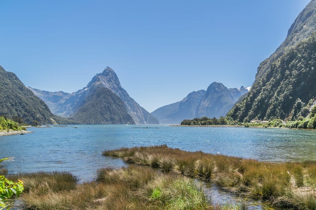
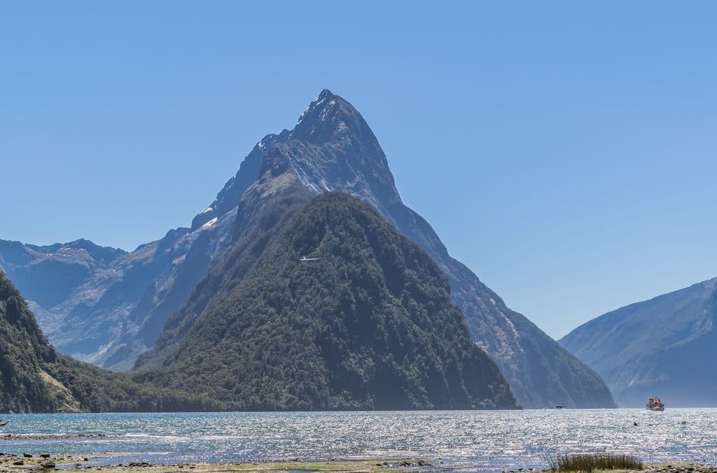
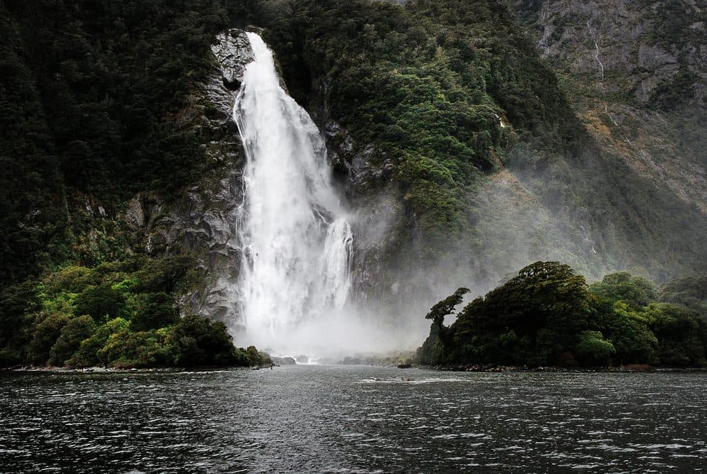
- Aim for clear‑weather windows. Early mornings or late afternoons give calmer water and softer light for photos.
- Weekdays are even quieter than weekends.
- There are no hours or services; arrive with a full tank and a flexible plan.
Sight · Fiordland National Park
New Zealand’s deepest lake, remote, moody, and wildly beautiful
Overview
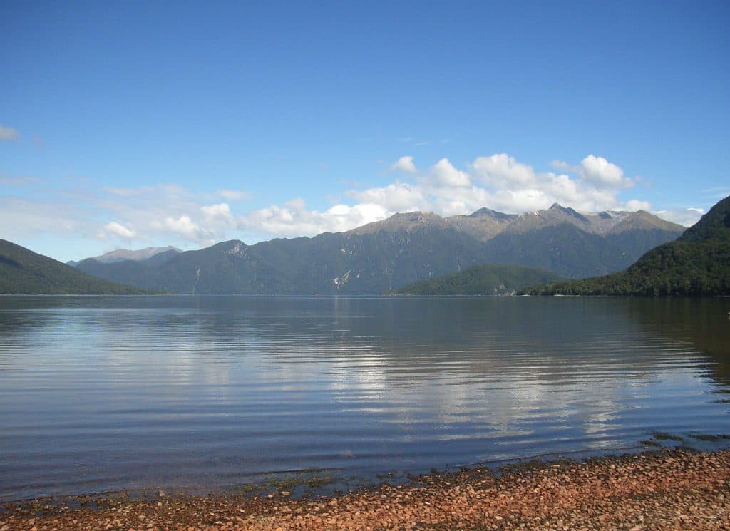
Lake Hauroko is Fiordland at its wildest: a long, steep‑sided, glacial lake that feels miles from anywhere. Its name means “the soughing of the wind,” a hint that conditions here can turn moody in minutes. If you like big landscapes and true solitude, this is your spot.
It’s New Zealand’s deepest lake (about 462 m), carved by Ice‑Age glaciers, which explains the sheer slopes plunging straight into dark blue water.
 Parkwolf’s verdictWhat makes it special
Map
Local know-how
Bring all fuel, food, and water—there are no services at the lake.
Allow extra time for the unsealed Lillburn Valley Road and drive slowly.
Start the Lookout Track early for cooler temps, fewer people, and better light.
Pack serious rain gear and sandfly repellent; both are non‑negotiable here.
Check current DOC track info if venturing beyond the lookout into backcountry.
Plan your stop

The highest, rockiest slopes around here are a summer buffet for grizzly bears.
Fiordland Tour Guide
Parkwolf is a GPS audio tour guide for Fiordland National Park. As you drive, it chimes in with what’s ahead: hidden gems, upcoming stops, history, geology, and wildlife, right through your car’s speakers.
See the Fiordland audio tourMore stories near here in the app
“Fantastic app with many points of information… It’s great to just turn on while you’re driving and it gives you an audio tour of the national Park. We love it!!!!”


Guide
This is a quiet corner compared with marquee Fiordland attractions. You’ll likely share the area with a handful of hikers, hunters, or boaties, not busloads. Services are essentially non‑existent at the lake. Stock up on fuel and supplies before leaving town. A DOC campground (Thicket Burn) sits along the access road, not on the lakeshore.
Wildlife
 1,181 sightingsKeaMost seen around 10 AMSighting map
 199 sightingsFiordland PenguinMost seen around 7 PMSighting map
 228 sightingsBlue DuckMost seen around 5 PMSighting map
 32 sightingsBottlenose DolphinMost seen around 5 PMSighting map
 247 sightingsNew Zealand Fur SealMost seen around 6 PMSighting map
 58 sightingsKākāMost seen around 6 PMSighting map
Sighting maps show where each species has been reported across Fiordland. Wildlife moves, so no sighting is guaranteed.
Keep exploring
Parkwolf’s Fiordland ranking
The audio tour guide for the drive, plus offline maps, trails, and wildlife heatmaps for when the signal drops.