Parking
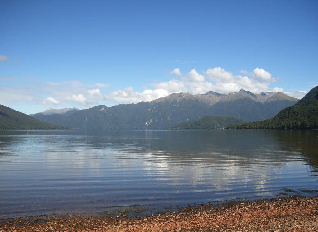
Follow Lillburn Valley Road from Tuatapere about 36 km to the Lake Hauroko road end; around 20 km is unsealed. Park by the jetty and boat ramp, where the signposted track begins.
Fiordland National Park, SL
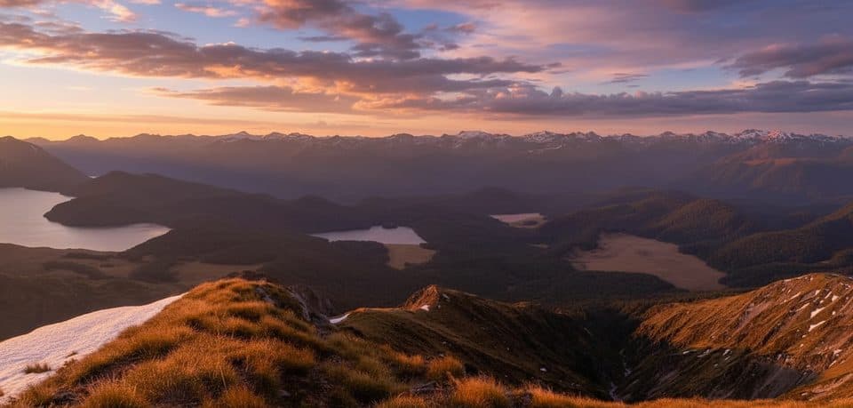
A steep, rough rainforest climb to a rugged panorama above Lake Hauroko
Overview
Lake Hauroko Lookout Track climbs through Fiordland rainforest to a rugged lookout above New Zealand's deepest lake, with wide views toward the Takitimu and Princess Mountains. It is a quiet, rewarding route for experienced hikers who want a hard-earned panorama.
 Parkwolf’s verdictWhy go
Map & elevation
Plan your hike

The highest, rockiest slopes around here are a summer buffet for grizzly bears.
Fiordland Tour Guide
Parkwolf is a GPS audio tour guide for Fiordland National Park. As you drive, it chimes in with what’s ahead: hidden gems, upcoming stops, history, geology, and wildlife, right through your car’s speakers.
See the Fiordland audio tourRecorded for this area
Lake Hauroko: New Zealand’s Deepest Lake“You're at Lake Hauroko, the deepest lake in New Zealand. It plunges 462 meters into a trench carved by glaciers. The lake’s Māori name, Hauroko, literally means 'roaring wind,' and it’s a name to take seriously.”
Plays near this trailhead in the Parkwolf Fiordland Tour Guide.
More stories near here in the app
“Fantastic app with many points of information… It’s great to just turn on while you’re driving and it gives you an audio tour of the national Park. We love it!!!!”


Trail guide
Start beside the jetty and boat ramp at the Lake Hauroko road end. The track follows the lake edge for roughly 1.5 km before turning inland and climbing steeply through dense native bush to the lookout. Expect roots, rocks, mud, small creek crossings, treefall, and indistinct sections. Orange markers help, but careful navigation matters.
The route is an out-and-back: the stored line follows the physical corridor once from the jetty/carpark to the lookout, while the visitor distance is the return distance. Allow about 3 hours for the full return, with extra time for wet ground, photos, or a slower descent.
From Tuatapere, follow Lillburn Valley Road about 36 km to the Lake Hauroko road end; around 20 km is unsealed. Park by the jetty and boat ramp, then follow the signposted track from the lakeshore. The remote road, limited phone coverage, and changeable Fiordland weather make a conservative plan important.
Wear sturdy boots and carry warm, waterproof layers. The track is often muddy and slippery, especially after rain, and fallen trees or flooded lakeshore sections can complicate the start. Do not bring dogs. If walking late for sunset, carry a headtorch and allow enough time for the rough descent.
Wildlife
 1,181 sightingsKeaMost seen around 10 AMSighting map
 199 sightingsFiordland PenguinMost seen around 7 PMSighting map
 228 sightingsBlue DuckMost seen around 5 PMSighting map
 32 sightingsBottlenose DolphinMost seen around 5 PMSighting map
 247 sightingsNew Zealand Fur SealMost seen around 6 PMSighting map
 58 sightingsKākāMost seen around 6 PMSighting map
Sighting maps show where each species has been reported across Fiordland. Wildlife moves, so no sighting is guaranteed.
Keep exploring
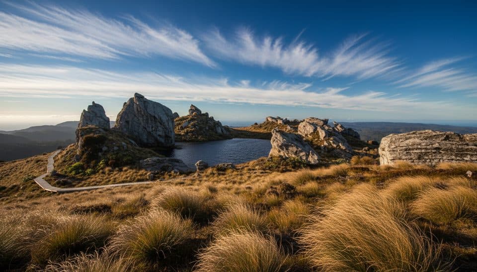 ChallengingTuatapere Hump Ridge Track61.5 km · 22.5 hr · 18.8 km awayCoast-to-alpine loop with big views, heritage viaducts, and comfy lodges.
 ChallengingHump Ridge Track61.5 km · 1 day · 18.8 km awayCoast-to-alpine Great Walk with big views and comfy lodges
 ChallengingWaitutu Track34.4 km · 16 hr · 18.8 km awayRemote viaduct-and-forest tramp into Fiordland's wild south coast
 ChallengingSouth Coast Track61 km · 1 days · 18.8 km awayRugged south coast, tramway viaducts, dolphins, and deep mud.
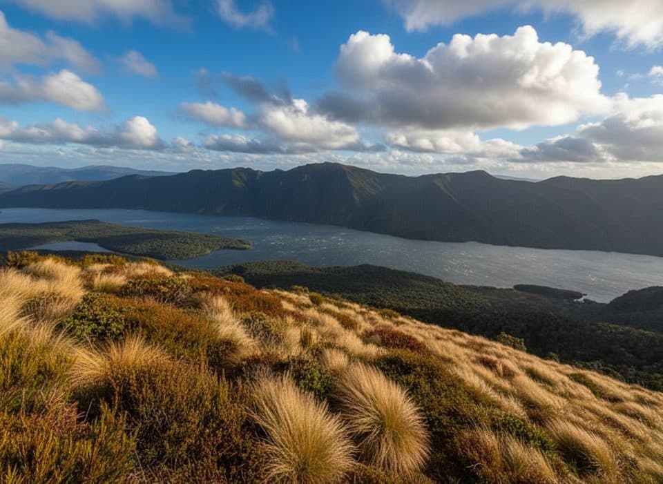 ChallengingRodger Inlet Track20 km · 12 hr · 22.6 km awayDemanding tramping from Lake Monowai to a remote six-bunk hut on Rodger Inlet
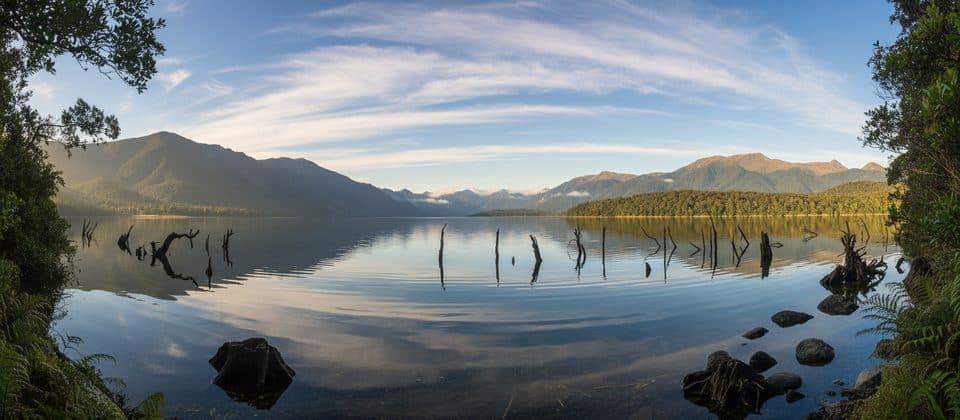 EasyLake Monowai Lookout Track2.4 km · 45 min · 22.6 km awayShort beech-forest walk to a Lake Monowai viewpoint
 ChallengingGreen Lake Track11.1 km · 6 hr · 22.9 km awayRemote point-to-point tramp from Lake Monowai to Green Lake Hut
Parkwolf’s Fiordland ranking
The audio tour guide for the drive, plus offline maps, trails, and wildlife heatmaps for when the signal drops.