Overview
About Lake Hauroko Jetty and Picnic Area
Why stop
- The jetty puts you out over the lake for an open view.
- Public picnic facilities at a quiet road end.
Heads up
- About 20 km of the approach is unsealed.
- Sandflies can make a long lakeside stop less comfortable.
Map
Where it is

The highest, rockiest slopes around here are a summer buffet for grizzly bears.
Fiordland Tour Guide
Your drive to Lake Hauroko Jetty and Picnic Area, narrated.
Parkwolf is a GPS audio tour guide for Fiordland National Park. As you drive, it chimes in with what’s ahead: hidden gems, upcoming stops, history, geology, and wildlife, right through your car’s speakers.
See the Fiordland audio tourRecorded for this place
Lake Hauroko Jetty“You're nearing the road-end jetty at Lake Hauroko, New Zealand's deepest lake at four hundred and sixty-two metres. Walk out onto the jetty for an open view of the water and forested mountain slopes.”
Plays as you drive up to Lake Hauroko Jetty and Picnic Area in the Parkwolf Fiordland Tour Guide.
More stories near here in the app
- The Fish That Climbs
- Hauroko’s Name and Ancestry
- The Dolphin with a Rounded Fin
- Thicket Burn Campsite
- 112 audio storiesacross Fiordland’s roads, triggered by GPS as you drive
- Wildlife heatmapsfor Kea, Fiordland Penguin, Blue Duck, and 13 more
- Works offlinemaps, 77 trails, 102 places, and audio download before you lose signal
- CarPlay readysimple controls built for the drive
“Fantastic app with many points of information… It’s great to just turn on while you’re driving and it gives you an audio tour of the national Park. We love it!!!!”


Guide
More about Lake Hauroko Jetty and Picnic Area
At the road's endLake Hauroko Jetty and Picnic Area is the public jetty and picnic site at the end of Lillburn…
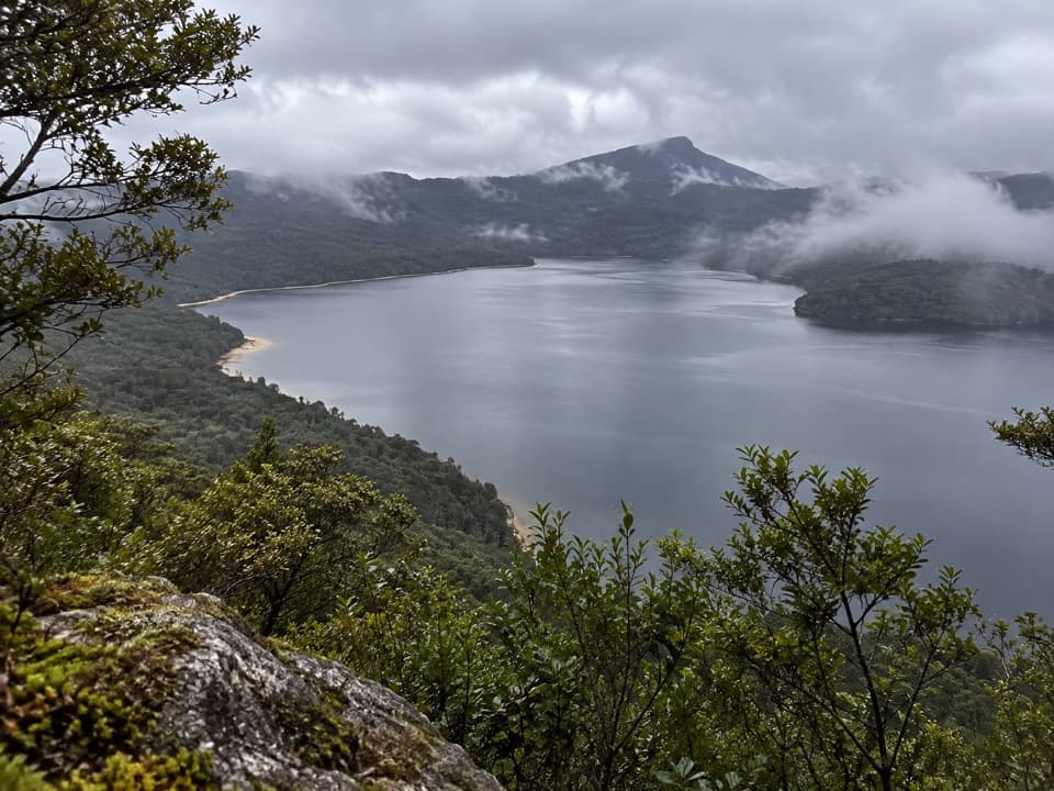
Lake Hauroko Jetty and Picnic Area is the public jetty and picnic site at the end of Lillburn Valley Road, where the forest edge meets a boat ramp and the lake. Walk out on the jetty for the broadest open-water view. This is a quiet, basic stop; make the drive if you want time beside the lake, not a cluster of visitor services.
Plan for the driveFrom Tuatapere, it is about 36 km to the lakefront, including roughly 20 km of unsealed road.
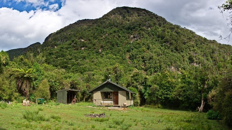
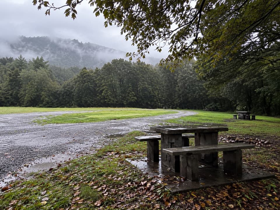
From Tuatapere, it is about 36 km to the lakefront, including roughly 20 km of unsealed road. Plan around the drive rather than treating Hauroko as a quick pullout. The road end has parking, a toilet and picnic shelter and tables. Treat it as a basic remote site: don't rely on finding food or drinking water at the lakefront. Sandflies are a recurring complaint, so insect protection helps if you plan to linger by the shore.
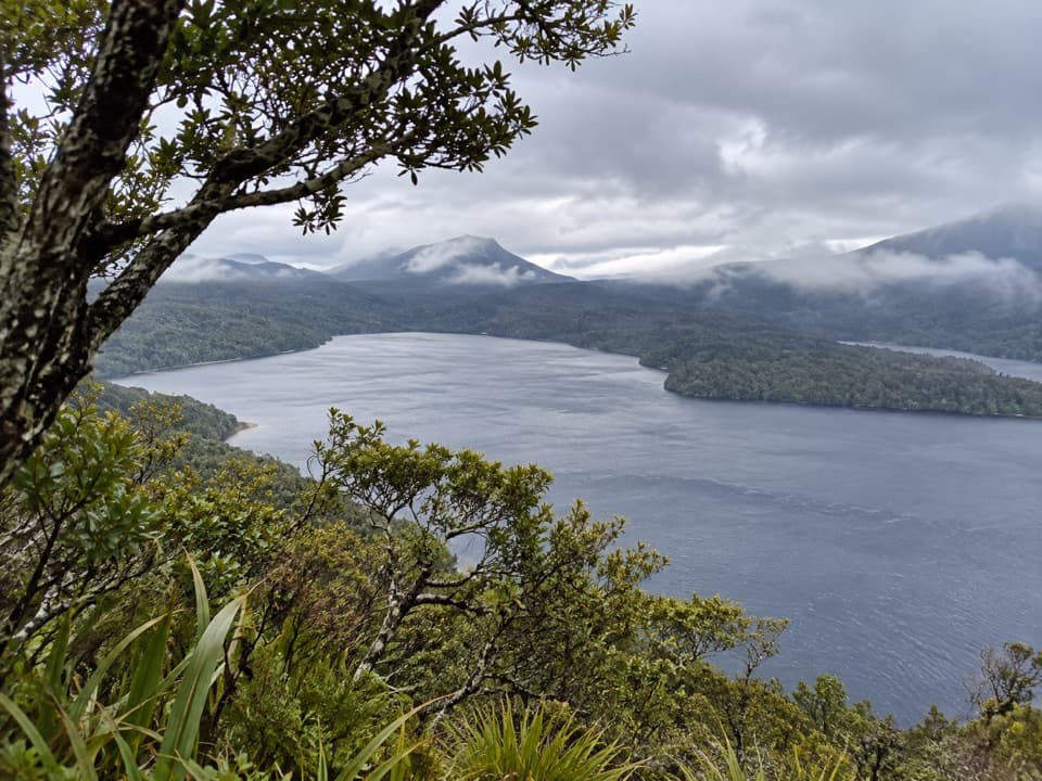
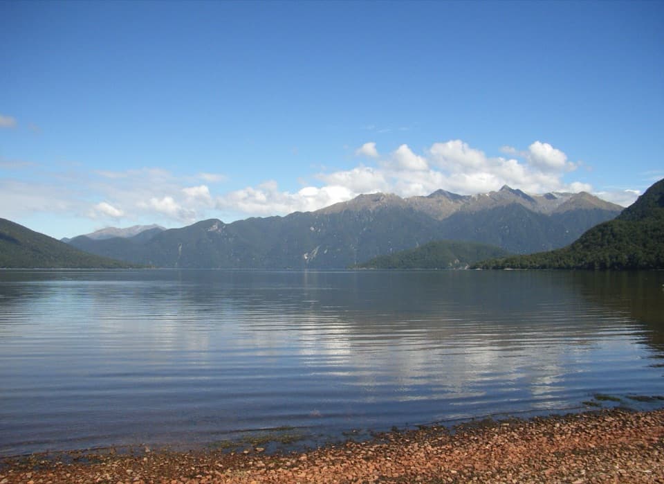
Take in the lake from the jettyThe jetty takes you out over the water, with forested shore and mountain slopes across the lake.
The jetty takes you out over the water, with forested shore and mountain slopes across the lake. For a photo, include the stony shoreline in the foreground; it gives the water and mountains a sense of scale. When the surface is calm, it can reflect the mountains, but don't count on still water.
The depth and the windAt 462 metres, Lake Hauroko is New Zealand's deepest lake, set in a steep glacial valley.
At 462 metres, Lake Hauroko is New Zealand's deepest lake, set in a steep glacial valley. That valley funnels wind along the lake, so small boats can face hazardous conditions. If you're launching rather than just looking from shore, take the conditions seriously before heading out.
Wildlife
Wildlife in Fiordland
 1,233 sightingsKeaMost seen around 10 AMSighting map
 214 sightingsFiordland PenguinMost seen around 7 PMSighting map
 233 sightingsBlue DuckMost seen around 5 PMSighting map
 32 sightingsBottlenose DolphinMost seen around 5 PMSighting map
 252 sightingsNew Zealand Fur SealMost seen around 6 PMSighting map
 69 sightingsKākāMost seen around 6 PMSighting map
Sighting maps show where each species has been reported across Fiordland. Wildlife moves, so no sighting is guaranteed.