Overview
About Lake Hauroko Lookout
Why stop
- Clear-day views reach Foveaux Strait and several named ranges
Heads up
- Advanced, steep 2.9 km return track takes about three hours
Map
Where it is

The highest, rockiest slopes around here are a summer buffet for grizzly bears.
Fiordland Tour Guide
Your drive to Lake Hauroko Lookout, narrated.
Parkwolf is a GPS audio tour guide for Fiordland National Park. As you drive, it chimes in with what’s ahead: hidden gems, upcoming stops, history, geology, and wildlife, right through your car’s speakers.
See the Fiordland audio tourRecorded for this place
Lake Hauroko Jetty“You're nearing the road-end jetty at Lake Hauroko, New Zealand's deepest lake at four hundred and sixty-two metres. Walk out onto the jetty for an open view of the water and forested mountain slopes.”
Plays as you drive up to Lake Hauroko Lookout in the Parkwolf Fiordland Tour Guide.
More stories near here in the app
- The Fish That Climbs
- Hauroko’s Name and Ancestry
- The Dolphin with a Rounded Fin
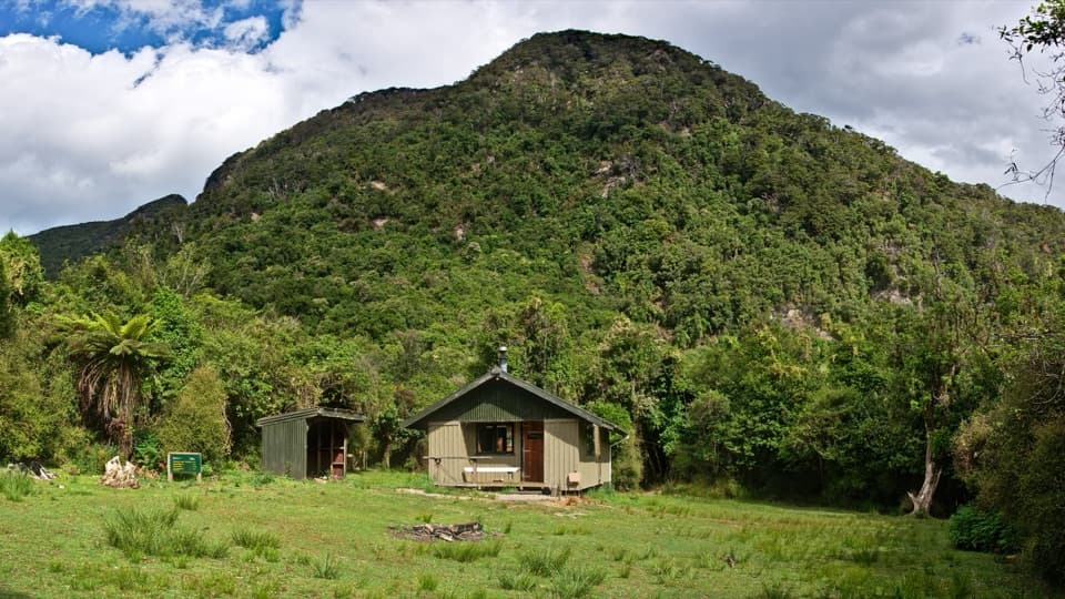
- Thicket Burn Campsite
- 112 audio storiesacross Fiordland’s roads, triggered by GPS as you drive
- Wildlife heatmapsfor Kea, Fiordland Penguin, Blue Duck, and 13 more
- Works offlinemaps, 77 trails, 102 places, and audio download before you lose signal
- CarPlay readysimple controls built for the drive
“Fantastic app with many points of information… It’s great to just turn on while you’re driving and it gives you an audio tour of the national Park. We love it!!!!”


Guide
More about Lake Hauroko Lookout
A climb for a high viewLake Hauroko Lookout is a high viewpoint above the dark lake, reached by a steep track from the…
Lake Hauroko Lookout is a high viewpoint above the dark lake, reached by a steep track from the shore near the jetty. It is a proper outing, not a quick roadside pullout: the 2.9 km return takes about three hours and is rated Advanced, with good fitness and backcountry navigation and survival skills expected. I'd save it for a clear day and for someone keen on a climb; the road-end jetty is a separate, easier lake stop, but it won't give you this high panorama.
Making the approachFrom Tuatapere, the car park is about 36 km away, including 20 km on unsealed road.
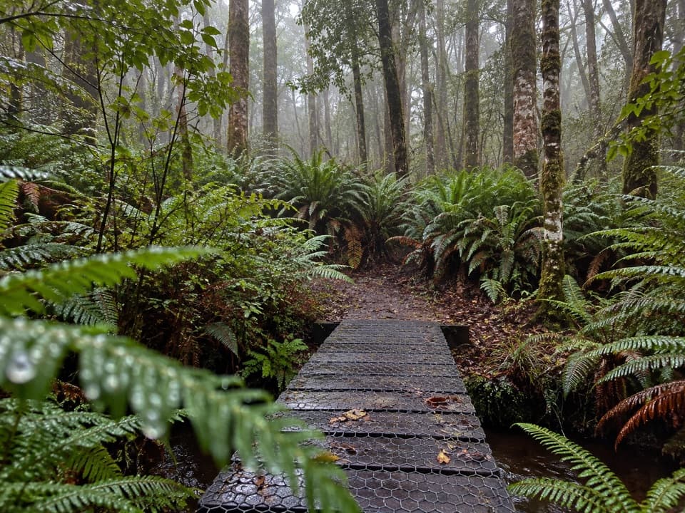
From Tuatapere, the car park is about 36 km away, including 20 km on unsealed road. The track follows the lake edge at first, then climbs steeply to the lookout. Dogs aren't allowed. Dated visitor accounts describe strenuous walking and patches of rough or slippery footing; they don't establish the current track condition, so check before heading out.
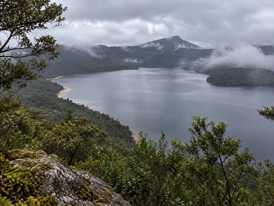
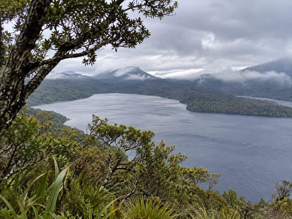
What opens upOn a clear day, look across Lake Hauroko toward Foveaux Strait to the south, the Takitimu…
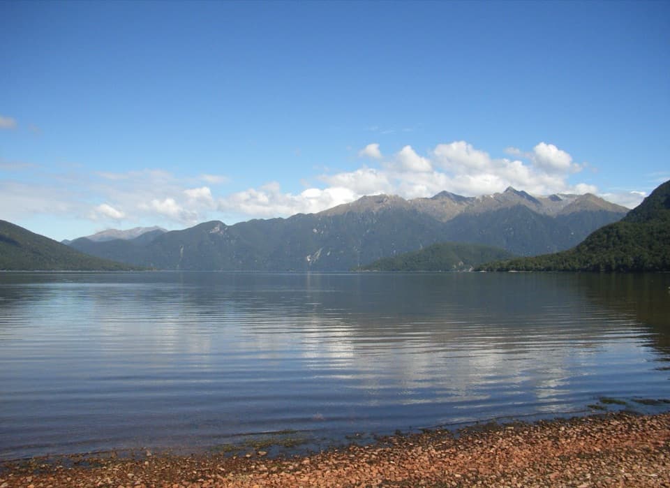
On a clear day, look across Lake Hauroko toward Foveaux Strait to the south, the Takitimu Mountains to the east, and the Princess and Kaherekoau ranges to the northwest. The lake is the centerpiece. For a photo, keep some of the forested shoreline in the frame with the ridges behind it; the layered view shows how the lake sits in its steep-sided valley.
A deep, wind-named lakeAt 462 m, Lake Hauroko is New Zealand's deepest lake and one of the world's ten deepest.
At 462 m, Lake Hauroko is New Zealand's deepest lake and one of the world's ten deepest. Its Māori name is translated as “sound of the wind,” fitting a glacial valley that funnels wind along the water. Runoff from beech forest gives the lake its dark stain. Light fades quickly below the surface, so aquatic plants are concentrated in the upper 10 m; native bullies shelter among shallow rocks and plants.
Wildlife
Wildlife in Fiordland
 1,233 sightingsKeaMost seen around 10 AMSighting map
 214 sightingsFiordland PenguinMost seen around 7 PMSighting map
 233 sightingsBlue DuckMost seen around 5 PMSighting map
 32 sightingsBottlenose DolphinMost seen around 5 PMSighting map
 252 sightingsNew Zealand Fur SealMost seen around 6 PMSighting map
 69 sightingsKākāMost seen around 6 PMSighting map
Sighting maps show where each species has been reported across Fiordland. Wildlife moves, so no sighting is guaranteed.