Parking
Start at Lake Hauroko car park. From Tuatapere, head north toward Clifden, then west on Lillburn Valley Road; the car park is about 36 km from Clifden, with roughly 20 km unsealed.
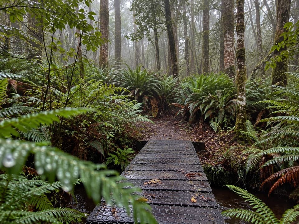
Fiordland National Park, SL
A short native forest loop beside Lake Hauroko
Overview
Map & elevation
Plan your hike

The highest, rockiest slopes around here are a summer buffet for grizzly bears.
Fiordland Tour Guide
Parkwolf is a GPS audio tour guide for Fiordland National Park. As you drive, it chimes in with what’s ahead: hidden gems, upcoming stops, history, geology, and wildlife, right through your car’s speakers.
See the Fiordland audio tourRecorded for this trailhead
Lake Hauroko Jetty“You're nearing the road-end jetty at Lake Hauroko, New Zealand's deepest lake at four hundred and sixty-two metres. Walk out onto the jetty for an open view of the water and forested mountain slopes.”
Plays as you drive up to this trailhead in the Parkwolf Fiordland Tour Guide.
More stories near here in the app
“Fantastic app with many points of information… It’s great to just turn on while you’re driving and it gives you an audio tour of the national Park. We love it!!!!”


Trail guide
This easy-to-intermediate walk follows a short access connector from Lake Hauroko car park to a 1.1 km loop, then retraces the connector. The full walk is about 1.35 km (0.84 mi); the published 40-minute time covers the loop, so allow around 50 minutes from the car park.
The loop skirts swampy ground close to the lake. Mataī, tōtara and rimu grow in wetter areas, changing to mountain beech on drier ground. A mesh-sided timber footbridge crosses a stream.
From Tuatapere, head toward Clifden and turn west onto Lillburn Valley Road. The car park is about 36 km from Clifden, including roughly 20 km of unsealed road. Dogs are prohibited; other pets need written permission to enter conservation land.
The separate Lake Hauroko Lookout Track is a steep 2.9 km return route taking about three hours. It climbs from the lake edge to a lookout and is not part of this short loop.
Wildlife
 1,233 sightingsKeaMost seen around 10 AMSighting map
 214 sightingsFiordland PenguinMost seen around 7 PMSighting map
 233 sightingsBlue DuckMost seen around 5 PMSighting map
 32 sightingsBottlenose DolphinMost seen around 5 PMSighting map
 252 sightingsNew Zealand Fur SealMost seen around 6 PMSighting map
 69 sightingsKākāMost seen around 6 PMSighting map
Sighting maps show where each species has been reported across Fiordland. Wildlife moves, so no sighting is guaranteed.
Keep exploring
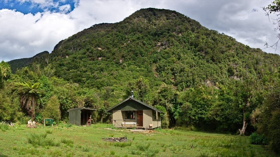 ChallengingLake Hauroko to Teal Bay Hut Track36 km · 18 hr · At the trailheadA remote 36 km out-and-back to a small hut on Lake Hauroko.
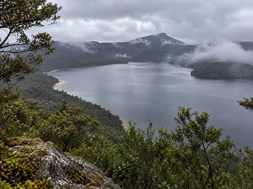 ChallengingLake Hauroko Lookout Track4.8 km · 3.5 hr · 0.1 km awayA steep ridge climb to sweeping views over Aotearoa's deepest lake.
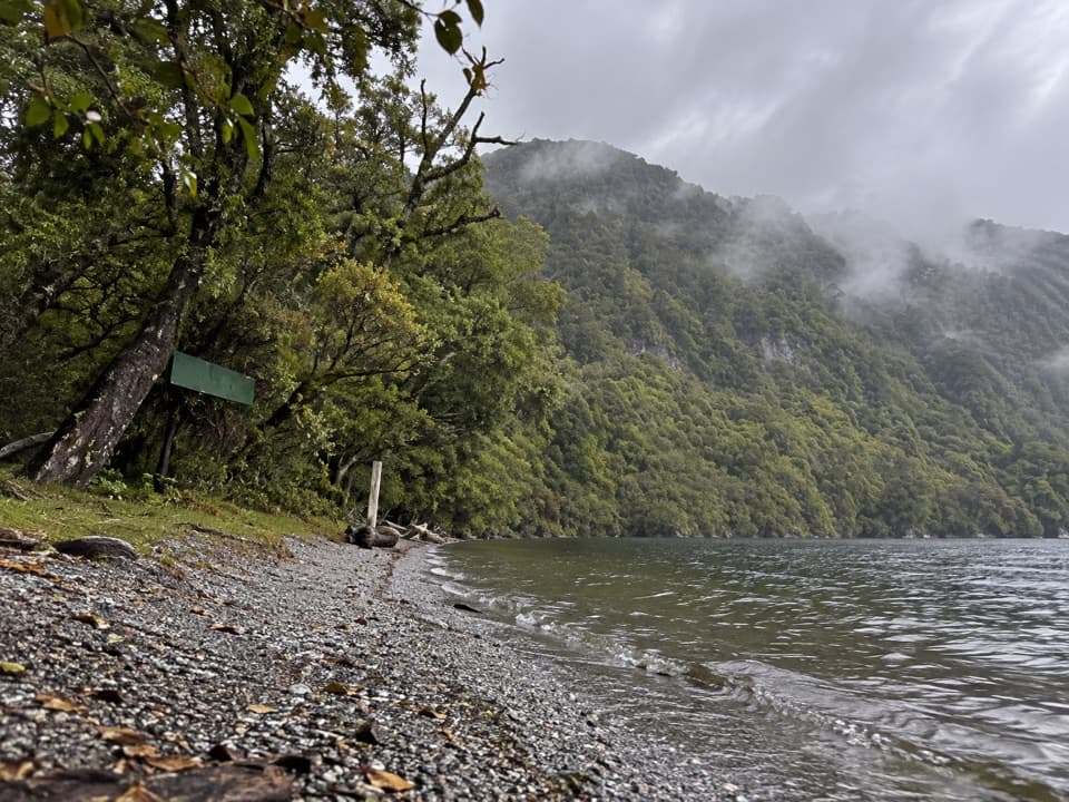 ChallengingTeal Bay to South Coast Track17 km · 10 hr · 10.9 km awayA remote ridge crossing from lake shore to the South Coast Track
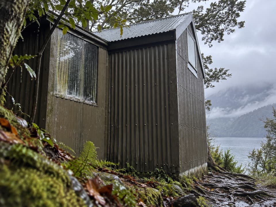 ChallengingTeal Bay to Lake Poteriteri Hut Route14.5 km · 10 hr · 10.9 km awayRemote hut to hut route with two swingbridges and unbridged streams.
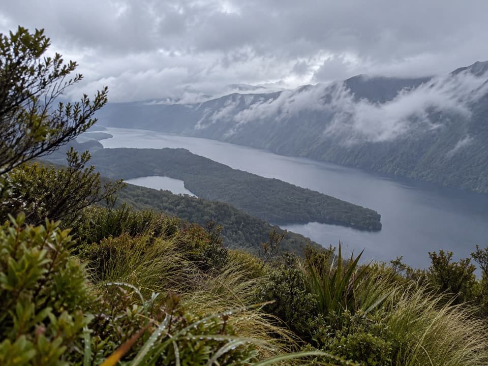 ChallengingRodger Inlet Bushline Route7 km · 4.5 hr · 15.4 km awayA hard climb from the hut to wide Lake Monowai views.
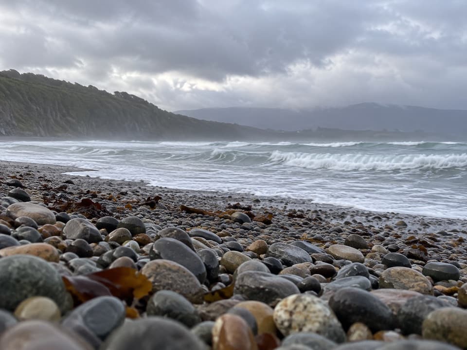 EasyRarakau Car Park to Beach6.2 km · 1.5 hr · 18.8 km awayRainforest steps, a swing bridge, then a Te Waewae Bay beach.
 ChallengingHump Ridge Track61.5 km · 22 hr · 18.8 km awayA three day coastal loop climbs to open subalpine ridges.
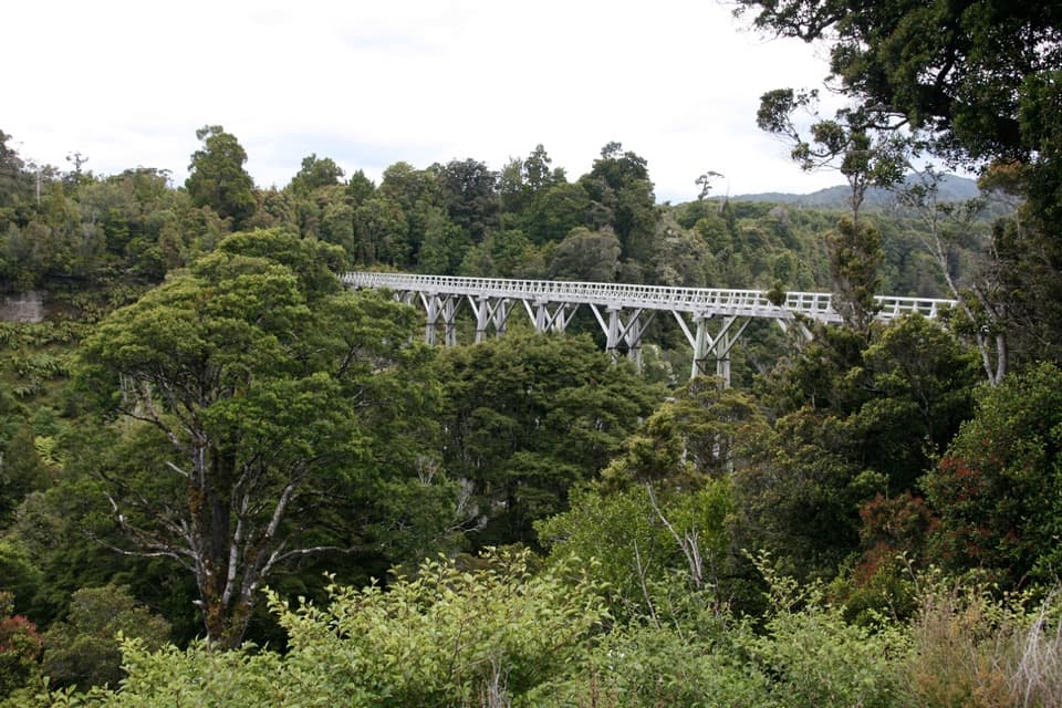 ChallengingSouth Coast Track61 km · 1 days · 18.8 km awayFour days of coast, forest, and timber viaducts
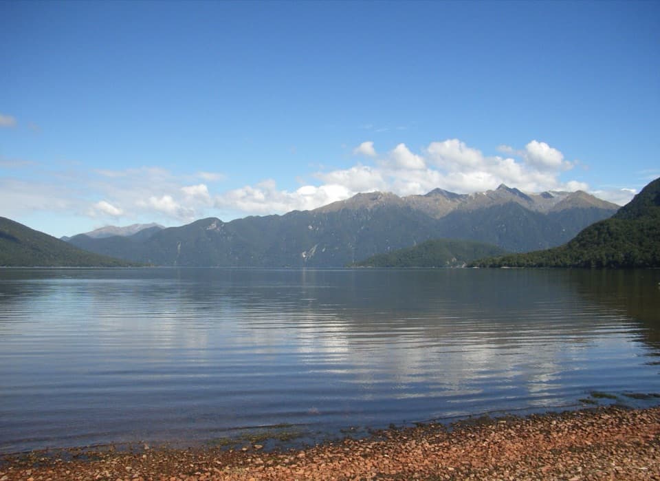 Sight · 0.1 km awayLake Hauroko Jetty and Picnic AreaA quiet jetty on New Zealand's deepest lake.
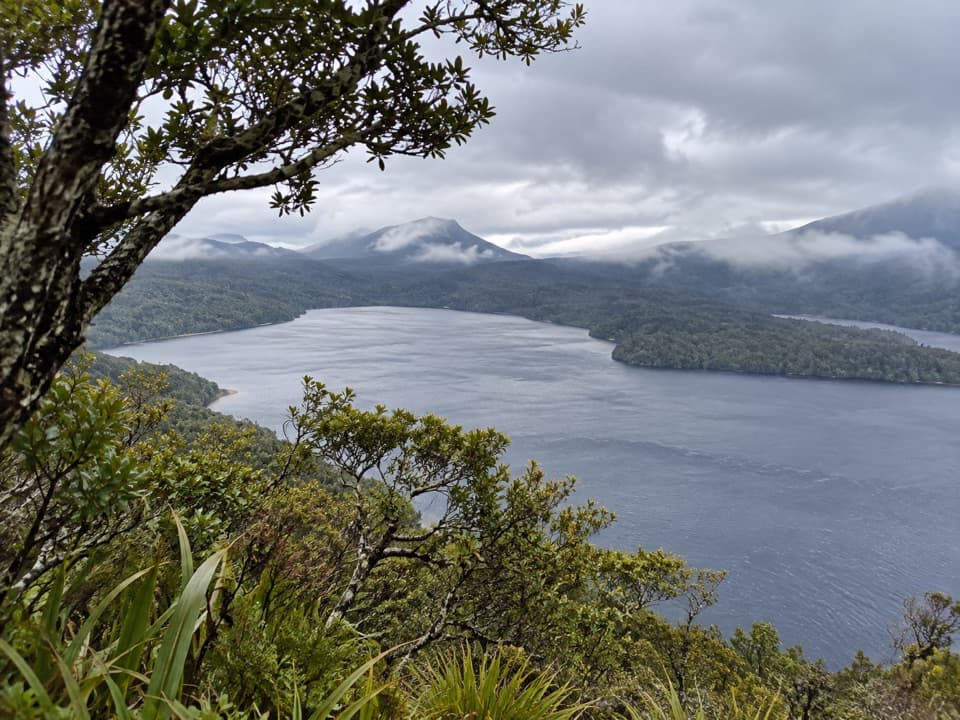 Sight · 2 km awayLake Hauroko LookoutA hard climb earns a view over New Zealand's deepest lake.
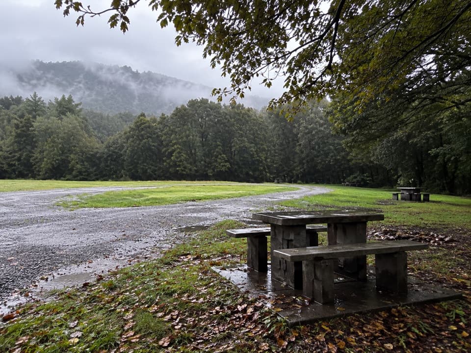 Campground · 6 km awayThicket Burn CampsiteA quiet camp near Lake Hauroko, with 20 free first-come tent sites.
Parkwolf’s Fiordland ranking

The audio tour guide for the drive, plus offline maps, trails, and wildlife heatmaps for when the signal drops.




