
Place · 3.1 mi away
Challenging
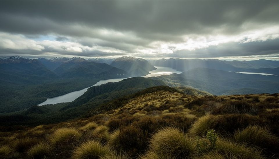
This is a rough, remote tramping route linking the Lake Hauroko shoreline at Second Bay to Teal Bay Hut at the south end of the lake. Expect classic Fiordland: soaked ground, rooty tread, and a feeling of being very far from anywhere. DOC specifically flags it as wet underfoot and suitable for experienced trampers only. Distance and time aren’t stated by DOC, so don’t bank on a quick out-and-back—plan conservatively.
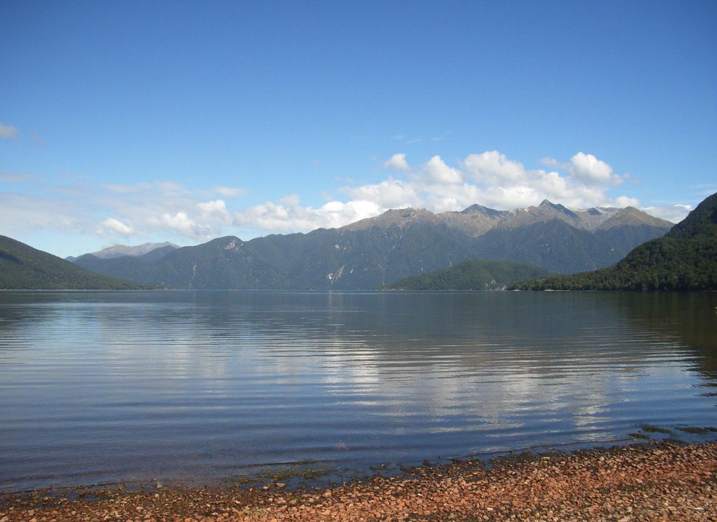
Lake Hauroko is New Zealand’s deepest lake, and the setting is dramatic: dark, wind-flecked water hemmed in by steep, forested hills. On calm days the mirror-like surface can be stunning; on windy days the lake earns its reputation, whipping up quickly. Around the lake and hut, sandflies are abundant—bring serious repellent.
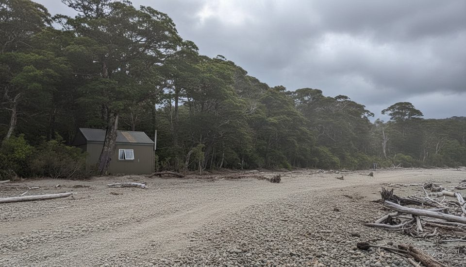
From Tuatapere, it’s roughly 36 km to the Lake Hauroko carpark via Clifden and Lillburn Valley Road, with about 20 km on unsealed road—allow extra time. There is no water available on the track between Second Bay and Teal Bay Hut, so carry what you need for that section. Many visitors reach the hut by boat or kayak rather than walking the shoreline, as the foot track can be slow going.
If you’re after solitude and don’t mind being wet, muddy, and self-reliant, this delivers a real Fiordland backcountry experience. Strong navigation and backcountry judgment are essential in this remote area. From Teal Bay Hut, determined trampers can link to far more demanding routes toward the South Coast or Lake Poteriteri—only if you have the fitness and high-level skills those routes require.
There’s no official “best season” given. Fiordland weather is notoriously changeable year-round—check the DOC track page and forecasts before committing. Calm mornings are best for lake views and for any boat/kayak shuttles; winds can rise quickly in the afternoon.
Lake Hauroko carpark at the end of Lillburn Valley Road (about 36 km from Tuatapere, ~20 km unsealed).
Remote, wet underfoot route for experienced trampers only. Carry all water between Second Bay and Teal Bay Hut. Lake conditions change rapidly—strong winds and waves are common. Sandflies are intense.
Place · 3.1 mi away
Place · 7.2 mi away
Place · 12.8 mi away
Place · 13.7 mi away
Challenging · 1.2 mi away
Challenging · 12.8 mi away
Challenging · 12.8 mi away
Challenging · 12.8 mi away

Parkwolf Tour Guide
