Pros & cons
PROS
- Huge, pristine backcountry lake with no road access
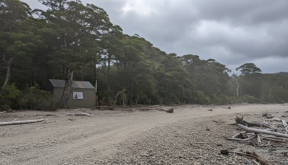
- Basic 6‑bunk Lake Poteriteri Hut for shelter
CONS
- Access is very challenging—multi‑day tramps or helicopter only
- No services and sparse, hard‑to‑verify information
Overview
Lake Poteriteri sits in the far south of Fiordland, a long, dramatic basin walled by steep, forested hills and drenched in classic Fiordland rainforest. It’s the largest lake in New Zealand without road access, and it feels every bit as remote as that sounds.
Why it’s special
This is Fiordland at its most untamed: wild shores, deep solitude, and zero drive‑up viewpoints. If you want a genuine wilderness experience—no crowds, no café, just you and a giant lake—this is the one.
Access and facilities
There are no roads to the lake. Reaching it typically means a serious multi‑day backcountry mission or a helicopter drop. Facilities are almost non‑existent, with the exception of the small Lake Poteriteri Hut (6 bunks) on the shore. Information online is sparse and sometimes outdated, so verify hut status and current conditions before you commit.
What you’ll see
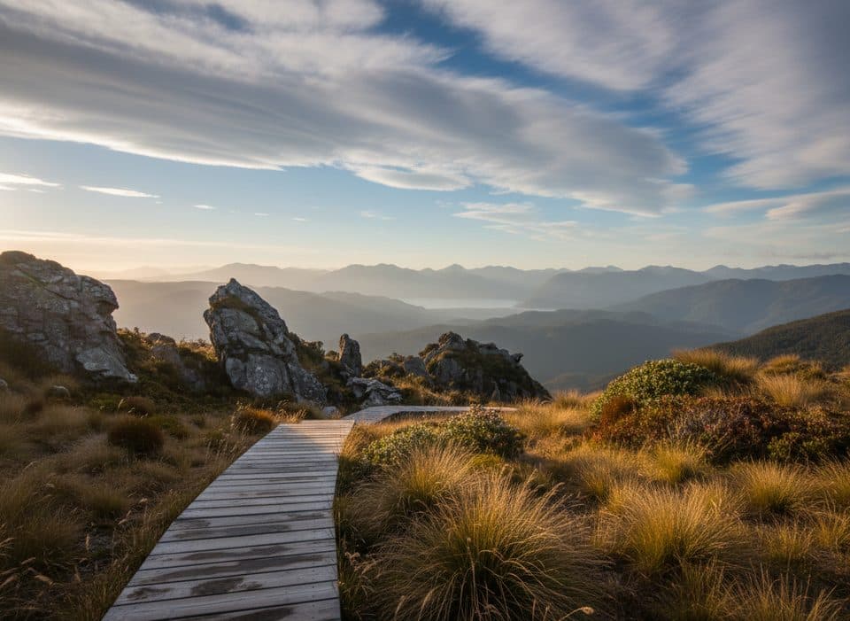
Expect lush temperate rainforest right to the water’s edge, steep valleys, and a sense of scale that’s hard to grasp until you’re there. The shoreline is mostly wild and track conditions can be rough and slow going.
Wildlife
Specific sightings aren’t well documented for this lake, but Fiordland forests and waterways commonly host native birds such as kākā, kea, and whio (blue duck), with deer present in the backcountry. Treat it as a bonus if you encounter them.
Best time to visit
There’s no “busy” day here—crowds aren’t the issue. Go when the forecast offers a stable weather window; Fiordland is notorious for heavy, fast‑changing rain. Early and late light can be gorgeous for photography when the wind drops.

Know before you go
This is an advanced objective for experienced trampers. Tracks can be overgrown, navigation is tricky, and you’ll need full self‑reliance: map/GPS, extra food, emergency gear, and a solid weather plan. If you’re considering fishing, start by checking regional regulations and current access notes for this specific lake.
Where it is
-46.0912, 167.1187Tips for Lake Poteriteri / Potiritiri
- 01Download offline topo maps before you go; expect no signal.
- 02Verify the Lake Poteriteri Hut’s current status and carry backup shelter.
- 03Carry a PLB, spare food, and be prepared for delays from weather and terrain.
- 04Navigation can be slow and overgrown—bring map, compass, and GPS.
- 05If planning to fish, confirm current regional regulations and access details.
Near Lake Poteriteri / Potiritiri
All places →All trails →
2.2 mi awayLake Poteriteri HutA tiny six-bunk hut on a vast, rarely visited Fiordland lakeLodging · Restroom
10.3 mi awayOkaka LodgeBackcountry lodge with hot showers and knockout summit viewsRestroom · Food
12.9 mi awayLake HaurokoNew Zealand’s deepest lake, remote, moody, and wildly beautifulTrailhead · Parking
14.1 mi awayLake Hauroko to Teal Bay Hut TrackRemote, wet haul along Hauroko’s shore to a lonely hutChallenging · 0 mi · 0 min
14.5 mi awayWairaurahiri TrackRemote river-to-coast tramping through primeval Fiordland forestChallenging · 17.4 mi · 9 hr
14.6 mi awayPort CraigRemote sawmill ruins by a dolphin-filled bay on the South CoastRestroom · Exhibit
17.4 mi awayTuatapere Hump Ridge TrackCoast-to-alpine loop with big views, heritage viaducts, and comfy lodges.Challenging · 37.9 mi · 22.5 hr
17.4 mi awayHump Ridge TrackCoast-to-alpine Great Walk with big views and comfy lodgesChallenging · 38 mi · 24 hr