Secretary Island

Remote sanctuary island with rich birdlife and dramatic fiord views
Secretary Island, Fiordland National Park
InsideFiordland National Park

Overview

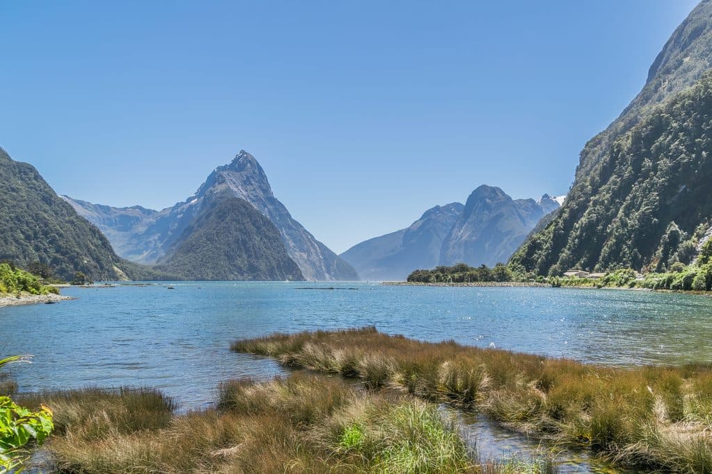
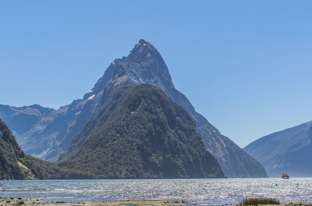
Rugged, steep, and almost entirely bush‑clad, Secretary Island rises straight out of the fiords at the mouth of Doubtful Sound / Patea and Thompson Sound. Its skyline is dominated by Mount Grono (1196 m), with several other peaks over 1000 m and three small alpine lakes, including Secretary Lake at 550 m. The isolation has kept it close to pristine—one of Fiordland’s most intact island ecosystems.

Why it’s special

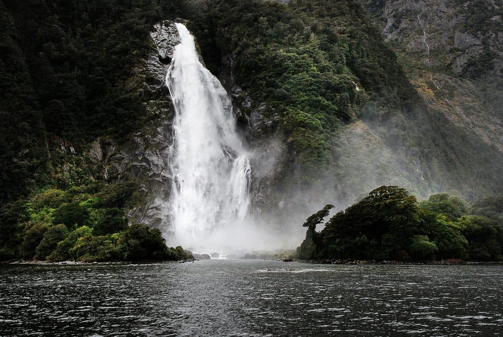
This is a living conservation project. Managed by the Department of Conservation, the island has no rats, mice, or possums; stoats and deer are the remaining problem animals and are actively controlled. That predator profile makes it a refuge for native birds and plants that struggle on the mainland. It’s also simply beautiful: steep forested ridges, waterfalls tumbling to Blanket Bay, and dramatic sea‑scoured headlands facing the Tasman.

Wildlife

Expect an island “covered in birds” feel—this is prime habitat for threatened species like kākā, kākāriki, kārearea (NZ falcon), northern tokoeka (kiwi), and the Fiordland crested penguin. Unique invertebrates and healthy mistletoes thrive thanks to the lack of common mammalian pests. Keep binoculars ready on boat transits; the surrounding fiords add the chance for marine life encounters.

Access and what to expect

Secretary Island is not set up for tourism. Most people experience it from the water on Doubtful Sound cruises passing its shores or the narrow Te Awaatu Channel (The Gut). Landings—when allowed—are tightly controlled for biosecurity. There are no public tracks, huts, restrooms, or stores. Any structures (like the Blanket Bay wharf or operational huts) serve fisheries or conservation staff, not visitors. Weather is classic Fiordland: very wet and quick to change, and the exposed, rocky coast makes boat access tricky.

Landscape notes

The island is roughly triangular and deeply incised by steep valleys and ridgelines. Its fast rise from sea level to alpine heights in just a few kilometers creates big‑drama views and frequent waterfalls after rain. The Gut narrows to about 200 m, amplifying the sense of scale as you slip between the island and the mainland.

Best time to visit

  • If you’re cruising Doubtful Sound, any clear window rewards you with views of the island’s ridges and waterfalls.
  • Morning and late‑day light can be gorgeous on the steep, forested faces when the weather breaks.
  • Crowds aren’t the issue here—weather and sea state are. Aim for settled conditions if trying for a permitted landing.

Need‑to‑know

  • Biosecurity is non‑negotiable: clean and check all gear to keep the island pest‑free.
  • Check with DOC for any access permissions or closures before planning to land.
  • There’s no infrastructure—bring everything you need and plan conservatively for Fiordland’s weather.

Pros

  • Rare, near‑pristine island ecosystem with standout native birdlife
  • Dramatic fiord scenery between Doubtful and Thompson Sounds

Cons

  • Public access is limited and often restricted for conservation
  • No visitor facilities or marked tracks; landings can be challenging

Tips

  • Experience it from a Doubtful Sound cruise if you’re not on a permitted landing.
  • Clean and inspect all gear—strict biosecurity applies to protect the island.
  • Carry binoculars for spotting birds along the coastline and in the canopy.
  • Download offline maps; mobile coverage in Fiordland is sparse.
  • Weather turns fast—plan for rain, wind, and rough seas even on fair days.
The Parkwolf tour guide sitting on a phone mounted in a car

Parkwolf Tour Guide

Like a tour guide in your car.

Save the places you found around Fiordland, then let Parkwolf guide the drive between them.Download Parkwolf on the App Store