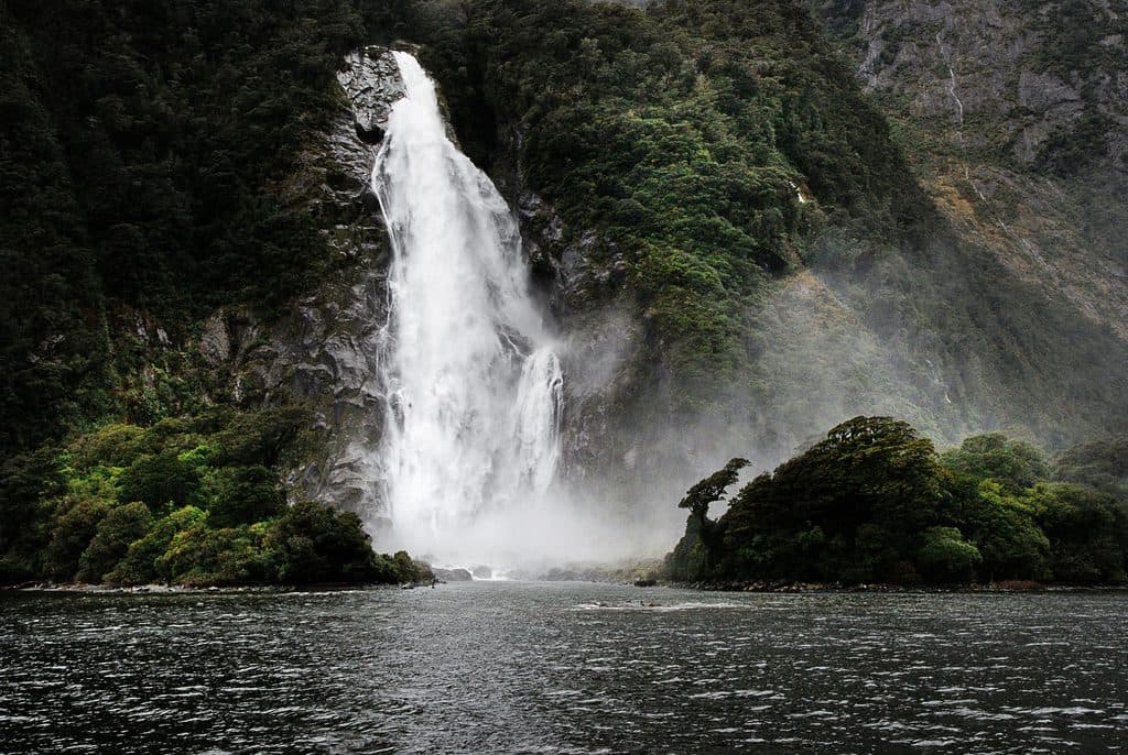
Wilmot Pass in Fiordland National Park

Scenic pullout · Fiordland National Park

Wilmot Pass

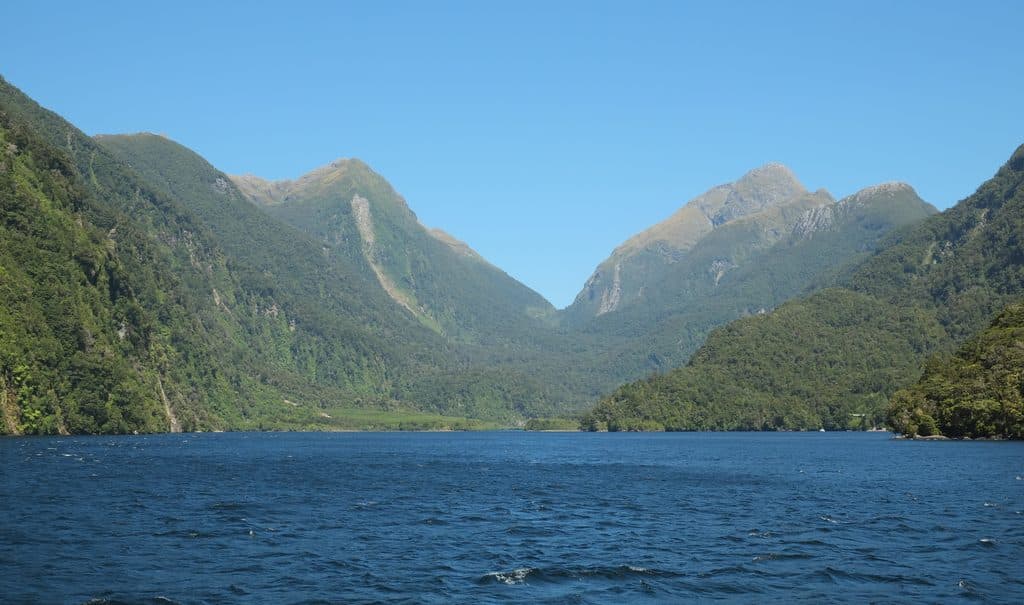
Remote mountain pass with sweeping Doubtful Sound views

Type
Scenic pullout
Audio stories
3 nearby
  • Pullout
  • Scenic viewpoint

Hear the audio tour

Nurse Logs: The Forest's Foundation

Overview

About Wilmot Pass

A 671 m mountain saddle between Mount Wilmot and Mount Mainwaring, Wilmot Pass is the high point on the only land route between Lake Manapouri’s West Arm and Doubtful Sound. It’s a short scenic stop on a bigger journey, but the panorama down to the fiord is a knockout when the clouds lift.

Why stop

  • Big vista toward Doubtful Sound on clear days
  • Remote, quiet stop along the Doubtful Sound route

Heads up

  • No self-drive access—visited only on organized tours
  • No facilities at the pass and weather can obscure views

Map

Where it is

Loading the Fiordland map
Full map
Scenic pulloutWilmot Pass-45.51666, 167.18333
Keep this map with you offline in the Parkwolf app

Local know-how

Tips for visiting Wilmot Pass

  1. Book a Doubtful Sound trip that includes the bus over Wilmot Pass.

  2. Use restrooms at Manapouri or Deep Cove before the crossing—none at the pass.

  3. Pack waterproof layers; Fiordland rain and low cloud can hide the view.

  4. Expect roughly a 50-minute coach crossing with a photo stop if weather allows.

Plan your stop

Before you go

Best time to visit

Aim for a clear-weather window for the views. Because access is via scheduled tours, you’ll likely cross in the morning and again later in the day; either can be great if the clouds part. Crowds are naturally limited compared to Milford Sound due to the required boat-plus-bus logistics.

A park ranger sits on a dash-mounted phone, talking, as Parkwolf’s Tour Guide plays “Army Cutworm Moths: A Grizzly Bear Buffet” on Grand Loop Road below Dunraven Pass in Yellowstone
Parkwolf Tour GuideThe highest, rockiest slopes around here are a summer buffet for grizzly bears.

Fiordland Tour Guide

Your drive to Wilmot Pass, narrated.

Parkwolf is a GPS audio tour guide for Fiordland National Park. As you drive, it chimes in with what’s ahead: hidden gems, upcoming stops, history, geology, and wildlife, right through your car’s speakers.

See the Fiordland audio tour

Recorded for this area

Nurse Logs: The Forest's Foundation
Listen
“If you see a fallen tree covered in a thick blanket of moss, you're looking at a nurse log—the forest's way of recycling itself.”

Plays on the road 1.2 km from Wilmot Pass in the Parkwolf Fiordland Tour Guide.

More stories near here in the app

  • When the Mountains Move: Wilmot Pass Earthquakes
  • Goblin Forest at Wilmot Pass: Wind‑Shaped Beech
  • Beech Mast Years: Fiordland’s Boom-and-Bust Forest
  • Helena Falls Track: Short Walk to a Waterfall
  • 126 audio storiesacross Fiordland’s roads, triggered by GPS as you drive
  • Wildlife heatmapsfor Kea, Fiordland Penguin, Blue Duck, and 13 more
  • Works offlinemaps, 68 trails, 124 places, and audio download before you lose signal
  • CarPlay readysimple controls built for the drive
★★★★★
“Fantastic app with many points of information… It’s great to just turn on while you’re driving and it gives you an audio tour of the national Park. We love it!!!!”
JMJamesApp Store review
Download Parkwolf on the App StoreGet Parkwolf on Google Play

4.7 from 8,600+ ratings

Guide

More about Wilmot Pass

How you visitThere’s no public road access.

There’s no public road access. Typical trips cross Lake Manapouri by boat, then continue by coach over Wilmot Pass to Deep Cove for a cruise on Doubtful Sound. The coach crossing is about 50 minutes, and drivers often pause at the summit pullout for photos if conditions are good.

What you’ll seeThe road threads through dense temperate rainforest with steep, dramatic slopes.

The road threads through dense temperate rainforest with steep, dramatic slopes. From the pass, clear days reveal sweeping views toward Doubtful Sound’s dark waters and sheer cliffs. It feels far more tranquil than Milford Sound thanks to the logistics and remoteness.

A bit of backstoryWilmot Pass Road was built to serve the West Arm power station, carving a rare lake-to-fiord…

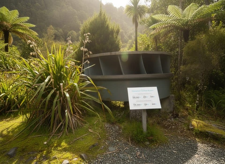
Wilmot Pass Road was built to serve the West Arm power station, carving a rare lake-to-fiord link across Fiordland’s rugged spine. The pass was noted by Surveyor‑General E.H. Wilmot in 1897; nearby Mount Mainwaring commemorates an explorer who died west of Lake Manapouri in 1888.

Wildlife notesWildlife highlights are usually on the Doubtful Sound cruise (think dolphins, seals, and…

Wildlife highlights are usually on the Doubtful Sound cruise (think dolphins, seals, and seasonal penguins). The pass itself is about the rainforest scenery and the view, not regular wildlife encounters.

Need-to-knowNo amenities at the summit: no toilets, food, or water.
  • No amenities at the summit: no toilets, food, or water.
  • Summit stops and views are weather-dependent; Fiordland’s rain and low cloud can sock in the vista.
  • Expect a simple pullout/viewpoint rather than a developed site.

Wildlife

Wildlife in Fiordland

All Fiordland wildlife maps

Sighting maps show where each species has been reported across Fiordland. Wildlife moves, so no sighting is guaranteed.

Parkwolf’s Fiordland ranking

Top sights in Fiordland

All 124 places
  1. 1Milford Sound / PiopiotahiSight
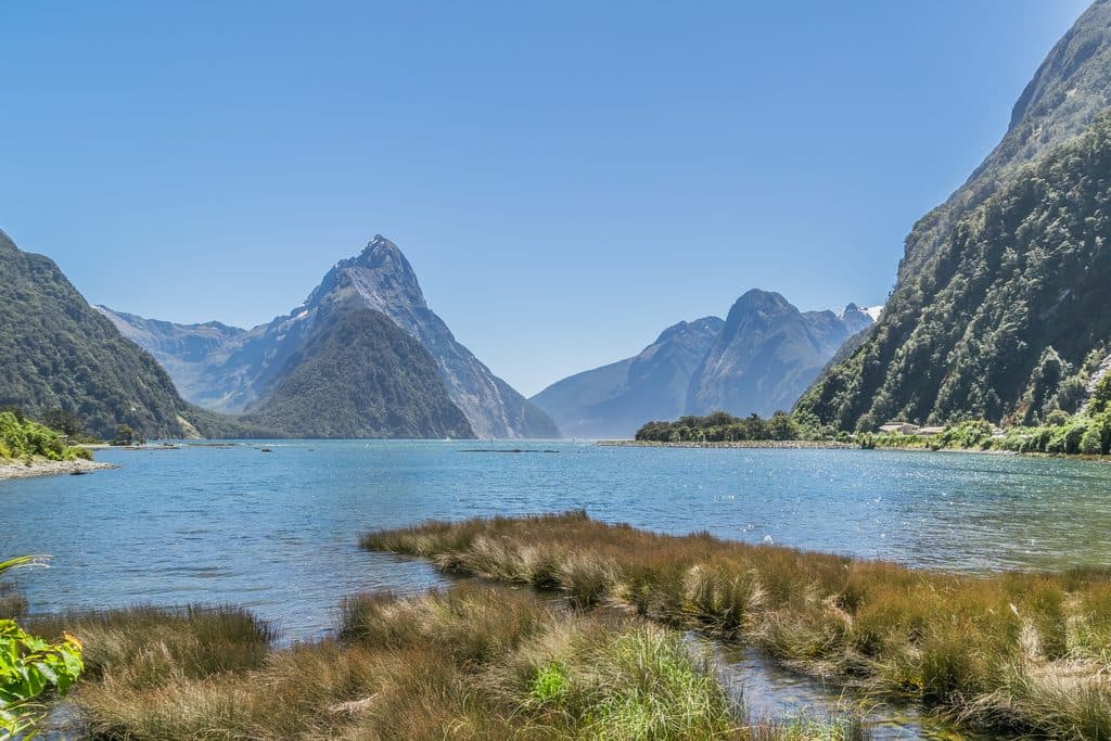
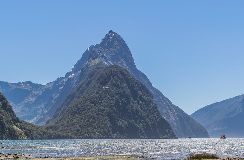
  2. 2Mitre PeakSight
  3. 3Mitre Peak ViewpointSight
  4. 4Doubtful Sound / PateaSight
  5. 5Waimānu / Stirling FallsSight
  6. 6Bowen FallsSight

Take Parkwolf to Fiordland.

The audio tour guide for the drive, plus offline maps, trails, and wildlife heatmaps for when the signal drops.

4.7 from 8,600+ ratings

Download Parkwolf on the App StoreGet Parkwolf on Google Play