Parking
There is no drive-up access to Landing Shed. Arrange boat access into Preservation Inlet; the regional listing refers to the Otago Retreat beach landing, but verify the landing point and permission before travel.
Fiordland National Park, SL
A rough coastal road to a remote lighthouse, and back.
Photo: Birdbabe, CC BY-SA 4.0, via Wikimedia Commons
Overview
Map & elevation
Plan your hike

The highest, rockiest slopes around here are a summer buffet for grizzly bears.
Fiordland Tour Guide
Parkwolf is a GPS audio tour guide for Fiordland National Park. As you drive, it chimes in with what’s ahead: hidden gems, upcoming stops, history, geology, and wildlife, right through your car’s speakers.
See the Fiordland audio tour“Fantastic app with many points of information… It’s great to just turn on while you’re driving and it gives you an audio tour of the national Park. We love it!!!!”


Trail guide
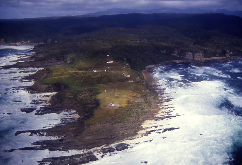
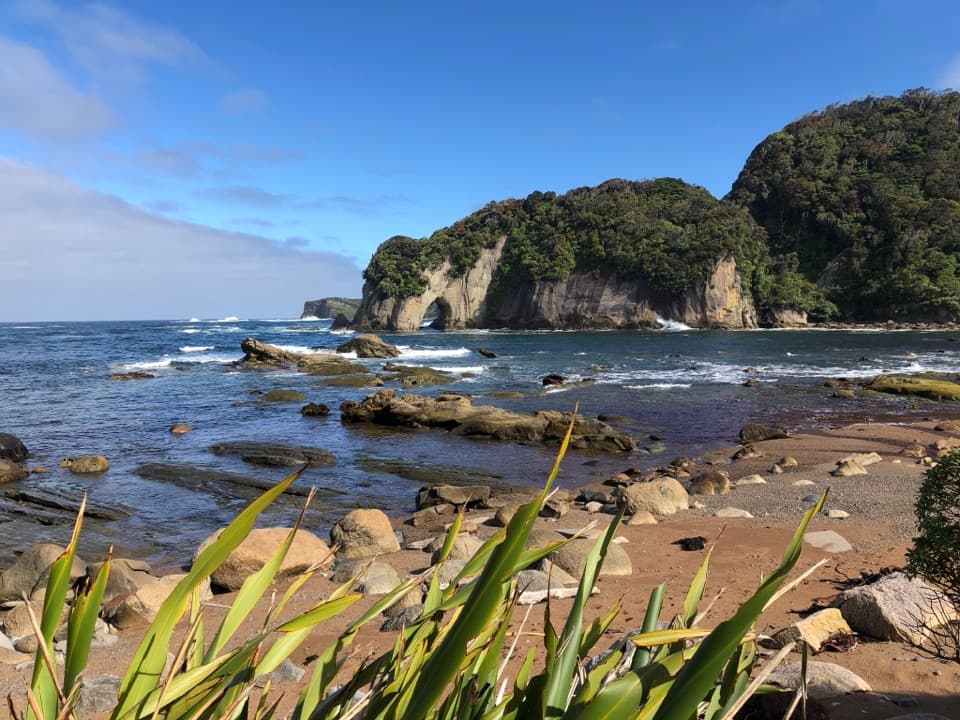
The Puysegur Point Lighthouse Walk is a 3.8-mile out-and-back from Landing Shed to the decommissioned lighthouse. You walk up a rough road for 3–4 km to the point, then return the same way; allow about two hours. A trackside view looks across rocky shore and a bush-covered headland. The walking route is straightforward to follow on the mapped line, but getting to the remote start is the bigger commitment.
There is no road approach to Landing Shed; access is by boat into Preservation Inlet. Otago Retreat is the beach landing associated with the track, but current boat arrangements and public landing permission were not confirmed. Sort that out before planning around the walk. Landing Shed is a free, basic seven-bunk hut, first come with no booking; it also serves as DOC’s operational base, so don’t assume extra visitor services. Dogs aren’t allowed in Fiordland National Park. The lighthouse station is accessible, but the lighthouse itself is not open to enter.
This rough road began as a supply route. Stores and equipment for the light were landed at Landing Shed from 1875 into the mid-1980s. Puysegur Point’s light first shone in 1879. The original wooden tower burned in 1942; the 1943 replacement reused the lantern room from Godley Head. At the end, you can see the station and its exposed coastal setting, but you can’t go inside the lighthouse.
Wildlife
 1,233 sightingsKeaMost seen around 10 AMSighting map
 214 sightingsFiordland PenguinMost seen around 7 PMSighting map
 233 sightingsBlue DuckMost seen around 5 PMSighting map
 32 sightingsBottlenose DolphinMost seen around 5 PMSighting map
 252 sightingsNew Zealand Fur SealMost seen around 6 PMSighting map
 69 sightingsKākāMost seen around 6 PMSighting map
Sighting maps show where each species has been reported across Fiordland. Wildlife moves, so no sighting is guaranteed.
Keep exploring
Parkwolf’s Fiordland ranking

The audio tour guide for the drive, plus offline maps, trails, and wildlife heatmaps for when the signal drops.