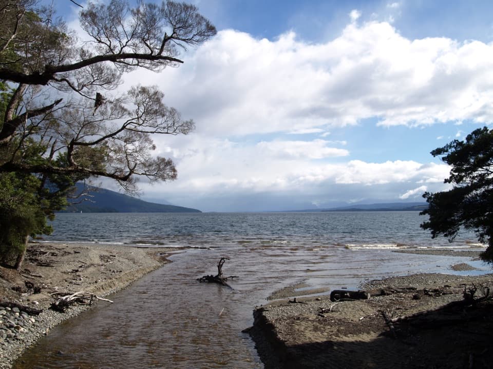
Parking
Start at The Divide car park on Milford Road, about 85 km from Te Anau. Follow the signed Routeburn Track to the Key Summit turnoff and return to the same car park.

#4 of 77 trails in Fiordland
Fiordland National Park, SL
Forest climb to alpine tarns and views over Hollyford Valley.
Photo: Pseudopanax at English Wikipedia, Public domain, via Wikimedia Commons
Overview
Map & elevation
Plan your hike

The highest, rockiest slopes around here are a summer buffet for grizzly bears.
Fiordland Tour Guide
Parkwolf is a GPS audio tour guide for Fiordland National Park. As you drive, it chimes in with what’s ahead: hidden gems, upcoming stops, history, geology, and wildlife, right through your car’s speakers.
See the Fiordland audio tourRecorded for this trailhead
The Divide and Key Summit“Up ahead is The Divide, the starting point for the climb to Key Summit. For a three-hour walk, I'd choose Key Summit's steady climb through beech forest to alpine pools and mountain views.”
Plays as you drive up to this trailhead in the Parkwolf Fiordland Tour Guide.
More stories near here in the app
“Fantastic app with many points of information… It’s great to just turn on while you’re driving and it gives you an audio tour of the national Park. We love it!!!!”


Trail guide
Key Summit Track is a 6.8 km (4.2 mi) out-and-back from The Divide car park, 3.4 km each way. Follow the Routeburn Track to the signed spur, climb into subalpine scrub, then take the short nature loop around the summit tarns before returning the same way. If you’re choosing one longer walk on Milford Road, this earns the time when the top is clear. The payoff is an open look across Hollyford Valley toward Lake Marian and the Humboldt and Darran ranges. It’s a steady climb rather than a quick viewpoint stroll; plan on about three hours, with extra time if you want to sit by the tarns.
From The Divide, follow the Routeburn Track through beech forest for about an hour to the signed junction. The climb starts early and keeps going, though it is mostly a formed track. The forest holds back the big views, so this stretch is more about settling into the uphill than stopping for scenery. At the signposted junction, take the Key Summit branch; the Routeburn Track continues beyond it. The final climb is steeper than the forest approach.
From the junction, allow about 20 minutes for the climb to Key Summit. Beech gives way to subalpine shrubs, then to open ground dotted with tarns and bogs. Take the short loop at the top rather than turning around as soon as you reach the high point: it lets you see the wetlands from a few angles and gives the walk its best change of pace. Keep to the formed track. The alpine soil and plants around the water are fragile, and stepping off the path can damage them.
The summit is the reason to do this. On a clear day, the Humboldt and Darran ranges fill the skyline, with the forested Hollyford Valley below and Lake Marian visible across it. Cloud can hide that panorama, so if the view matters to you, try to choose a clear-weather window. For a photo, put a tarn or low alpine shrubs in the foreground with the peaks behind; from a little higher on the loop, look down the valley toward Lake Marian.
The view makes more sense when you know what moved through here. During the last ice age, which ended about 14,000 years ago, a huge glacier flowed down Hollyford Valley and overtopped Key Summit by roughly 500 m. Ice spilled into the Eglinton and Greenstone valleys as well. The tarns and boggy hollows around the summit sit in that glacial landscape, not just beside the trail by chance.
The forest and alpine scrub bring different birdlife into view. Tomtits, robins, kererū and bellbirds are commonly seen on this walk, though sightings are never guaranteed. The open summit is also a good place to pause and take in how the high ridge separates the valleys, rather than heading straight back down for the car.
Start at The Divide car park, about 85 km along Milford Road from Te Anau, and return to the same place; no shuttle or second car is needed. Three hours is a sensible baseline, but allow longer if you want a proper stop at the top. Dogs aren’t allowed on this DOC track. No food or water service is listed along the route, so don’t count on resupplying after leaving The Divide.
Wildlife
 1,233 sightingsKeaMost seen around 10 AMSighting map
 214 sightingsFiordland PenguinMost seen around 7 PMSighting map
 233 sightingsBlue DuckMost seen around 5 PMSighting map
 32 sightingsBottlenose DolphinMost seen around 5 PMSighting map
 252 sightingsNew Zealand Fur SealMost seen around 6 PMSighting map
 69 sightingsKākāMost seen around 6 PMSighting map
Sighting maps show where each species has been reported across Fiordland. Wildlife moves, so no sighting is guaranteed.
Keep exploring
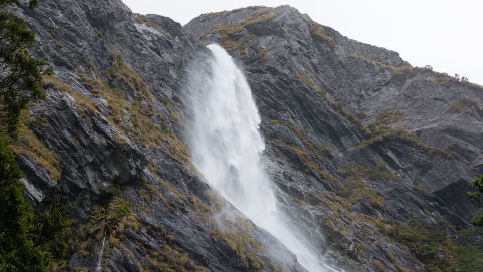 ModerateEarland Falls Track13.3 km · 6 hr · At the trailheadA 174 m waterfall rewards the long walk through beech forest.
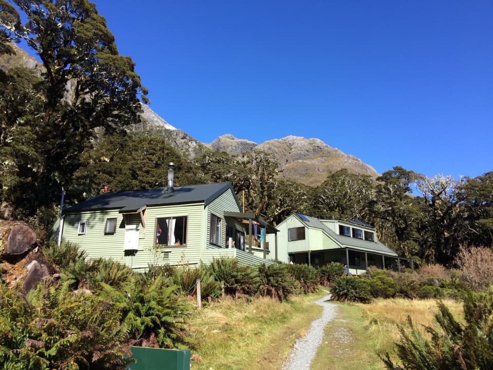 ChallengingRouteburn Track: The Divide to Lake Mackenzie Hut24 km · 10.5 hr · At the trailheadA 24 km return to Lake Mackenzie, with Earland Falls midway.
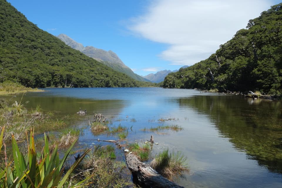 ModerateRouteburn Track: Lake Howden Track6.8 km · 3 hr · At the trailheadSilver beech forest leads to Lake Howden below the Key Summit turn-off.
 ChallengingLake Marian Track6.2 km · 3.5 hr · 2.2 km awayWaterfalls first, then a high lake in a glacial hanging valley.
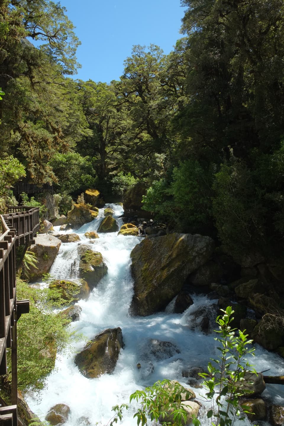 EasyLake Marian Falls Track1.2 km · 20 min · 2.2 km awayA short bridge walk to a gantry beside Marian Falls
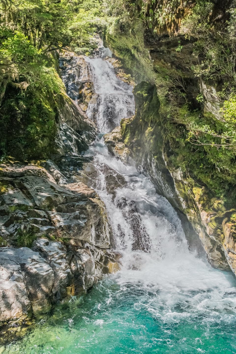 ChallengingFalls Creek Route to the Valley Flats6.6 km · 4 hr · 3.1 km awayA steep climb to remote flats beneath Fiordland peaks.ChallengingPass Creek Track6 km · 4 hr · 3.5 km awayAn old cattle track climbs from Hollyford to Lake Howden.
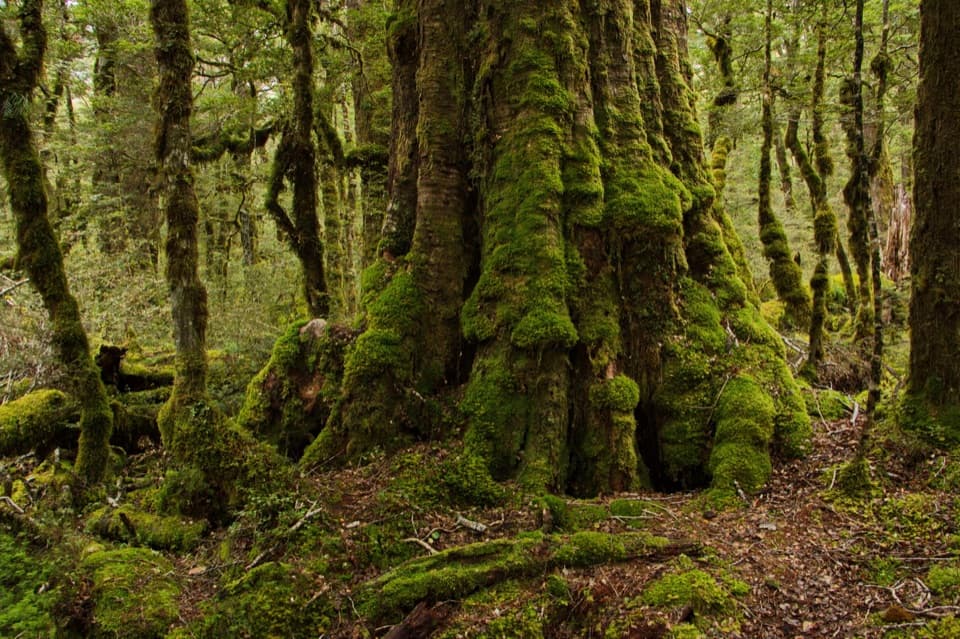 EasyLake Gunn Nature Walk1.4 km · 45 min · 8.2 km awayMossy beech forest, birds and a short beach detour
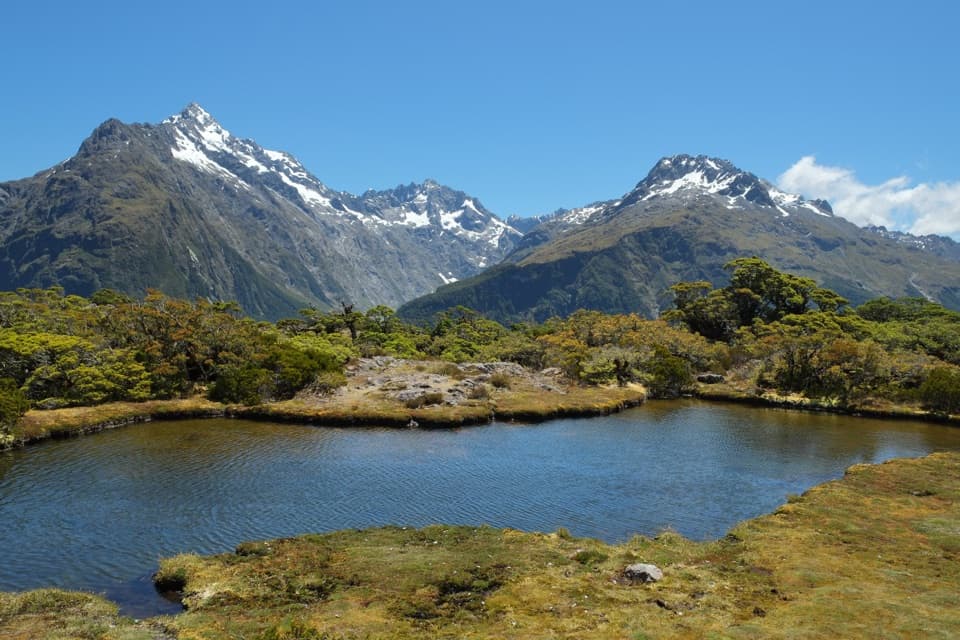 Sight · 1.3 km awayKey SummitAlpine tarns and huge mountain views reward a half-day climb.Sight · 1.8 km awayLake HowdenA beech-forest lake below Key Summit, on the Routeburn Track.
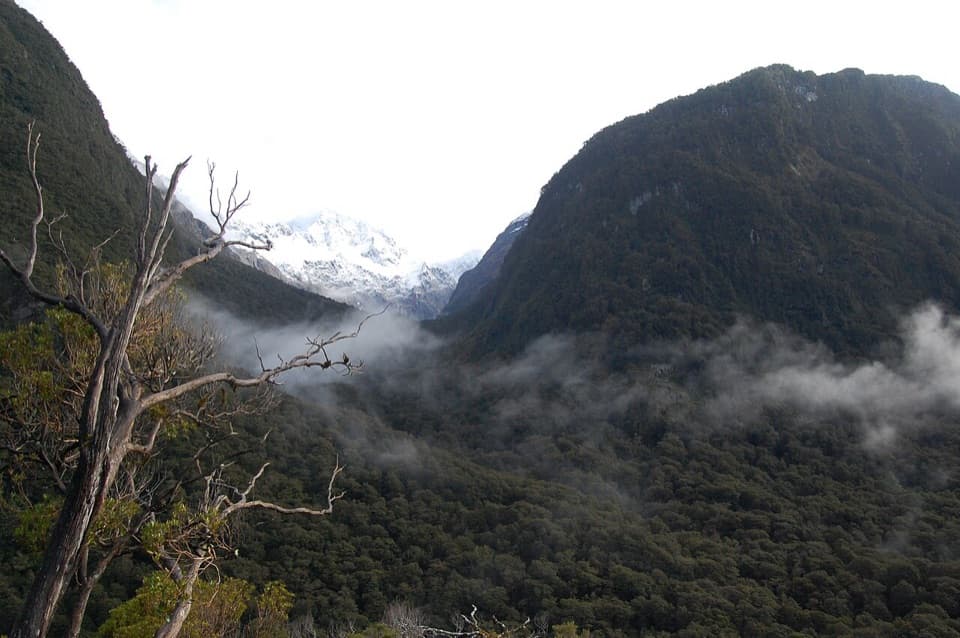 Sight · 2 km awayPop's View LookoutA roadside pull-off for a long look down the Hollyford Valley.
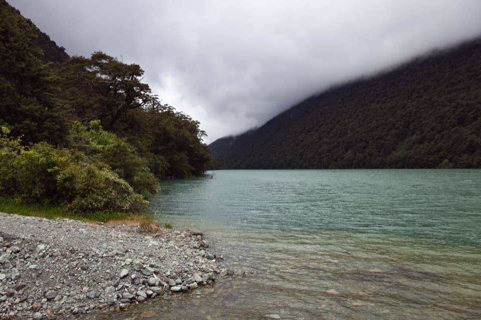 Sight · 2.2 km awayLake FergusA quick lake-and-mountain pause on the way to Milford Sound.
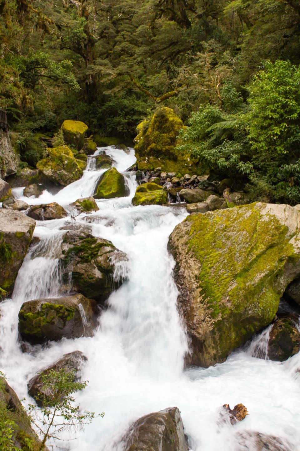 Sight · 2.5 km awayLake Marian FallsA short walk to swift, boulder-framed cascades.
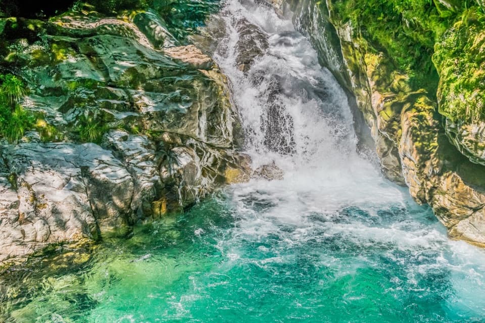 Sight · 3.1 km awayChristie FallsA quick Milford Road stop for a turquoise pool and tumbling water.Sight · 4 km awayEarland FallsA 174 m waterfall that earns a full Routeburn day walk.
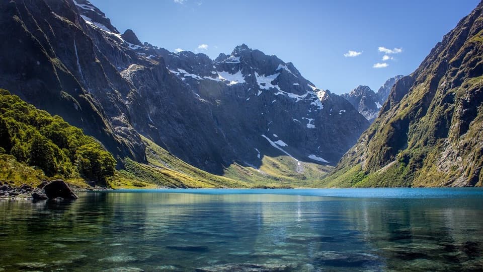 Sight · 4.6 km awayLake MarianA steep climb pays off with a lake framed by sharp peaks.
Parkwolf’s Fiordland ranking

The audio tour guide for the drive, plus offline maps, trails, and wildlife heatmaps for when the signal drops.