Parking
Rarakau Car Park near Tuatapere; cars are left at the owner’s risk. Track transport to or from Tuatapere can be arranged through the Hump Ridge Track office.

Fiordland National Park, SL
Coast-to-alpine Great Walk with big views and comfy lodges
Overview
The Hump Ridge Track is a 61.5 km (38.2 mile) three-day loop from Rarakau Car Park through southern Fiordland. It links wild coast, dense native forest, historic tramways and viaducts, and a windswept sub-alpine ridge, with backcountry-lodge stays at Ōkaka and Port Craig.
 Parkwolf’s verdictWhy go
Map & elevation
Plan your hike

The highest, rockiest slopes around here are a summer buffet for grizzly bears.
Fiordland Tour Guide
Parkwolf is a GPS audio tour guide for Fiordland National Park. As you drive, it chimes in with what’s ahead: hidden gems, upcoming stops, history, geology, and wildlife, right through your car’s speakers.
See the Fiordland audio tour“Fantastic app with many points of information… It’s great to just turn on while you’re driving and it gives you an audio tour of the national Park. We love it!!!!”


Trail guide
Day 1 follows the South Coast Track from Rarakau around Te Waewae Bay, across Waikōau River, Hump Burn and Waikoko Stream, then climbs through forest to Ōkaka Lodge and the ridge. Day 2 crosses the historic Edwin Burn, Percy Burn and Sand Hill viaducts and old tramline before ending at Port Craig Lodge. Day 3 follows the coast and South Coast Track back to Rarakau Car Park. The full route is a continuous loop; the mapped OSM corridor is 57.9 km while the official visitor distance is 61.5 km across the three measured stages.
Underfoot, expect beach and gravel, boardwalks, stairs, roots, rocky sections and historic tramway grades. The high point around Ōkaka is exposed to Fiordland weather and offers wide views across Te Waewae Bay, Waitutu Forest and the Southern Ocean. Port Craig also has a short interpretive walk around the former sawmill settlement and wharf area.
Plan for three demanding days: 7–9 hours for the first two stages and 5–7 hours for the return. The track is graded intermediate by DOC, but the steep climb to the ridge, long distances, exposure and changeable weather require strong fitness and backcountry preparation. The stored visitor distance is the full 61.5 km loop; the map line stores the single continuous loop once.
Wildlife
 1,181 sightingsKeaMost seen around 10 AMSighting map
 199 sightingsFiordland PenguinMost seen around 7 PMSighting map
 228 sightingsBlue DuckMost seen around 5 PMSighting map
 32 sightingsBottlenose DolphinMost seen around 5 PMSighting map
 247 sightingsNew Zealand Fur SealMost seen around 6 PMSighting map
 58 sightingsKākāMost seen around 6 PMSighting map
Sighting maps show where each species has been reported across Fiordland. Wildlife moves, so no sighting is guaranteed.
Keep exploring
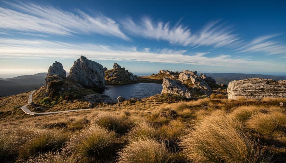 ChallengingTuatapere Hump Ridge Track61.5 km · 22.5 hr · At the trailheadCoast-to-alpine loop with big views, heritage viaducts, and comfy lodges.
 ChallengingWaitutu Track34.4 km · 16 hr · At the trailheadRemote viaduct-and-forest tramp into Fiordland's wild south coast
 ChallengingSouth Coast Track61 km · 1 days · At the trailheadRugged south coast, tramway viaducts, dolphins, and deep mud.ChallengingLake Hauroko Lookout Track5.4 km · 3 hr · 18.8 km awayA steep, rough rainforest climb to a rugged panorama above Lake Hauroko
Parkwolf’s Fiordland ranking
The audio tour guide for the drive, plus offline maps, trails, and wildlife heatmaps for when the signal drops.


