
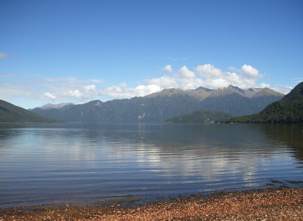
Place · 4.3 mi away
Challenging
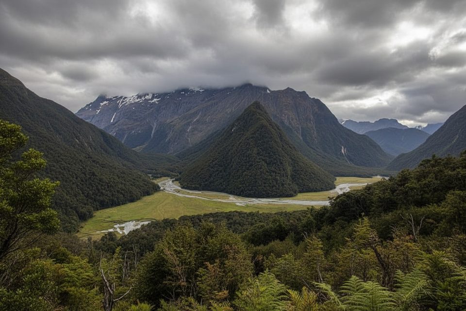
A true Fiordland backcountry outing, the Wairaurahiri Track runs roughly 27–28 km (about 17.4 miles) one way from the Lake Hauroko outlet to the southern coast near the Wairaurahiri River mouth. It’s a rugged, roots-and-mud tramping track that threads through ancient podocarp forest—rimu, tōtara, miro, and kahikatea—with mossy floors, ferns, lichens, and fungi everywhere. Expect solitude, near-zero cell coverage, and a big day on foot.
This is not a groomed “Great Walk.” The path is rough and often wet, with boggy stretches, fallen logs, and the occasional river or stream crossing. Wayfinding can be tricky after storms. Plan on 8–10 hours one way if you’re walking the full length, and bring the fitness, navigation skills, and gear to match a remote tramp.
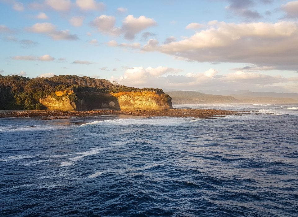
The track roughly shadows the wild, clear Wairaurahiri River as it drops from Lake Hauroko to the sea. Keep an ear out for native birds—bellbirds, tūī, tomtits, robins, and possibly kākā—and enjoy long, quiet stretches under towering lowland forest. Photo stops along the river are natural breaks on this otherwise steady, immersive forest walk.
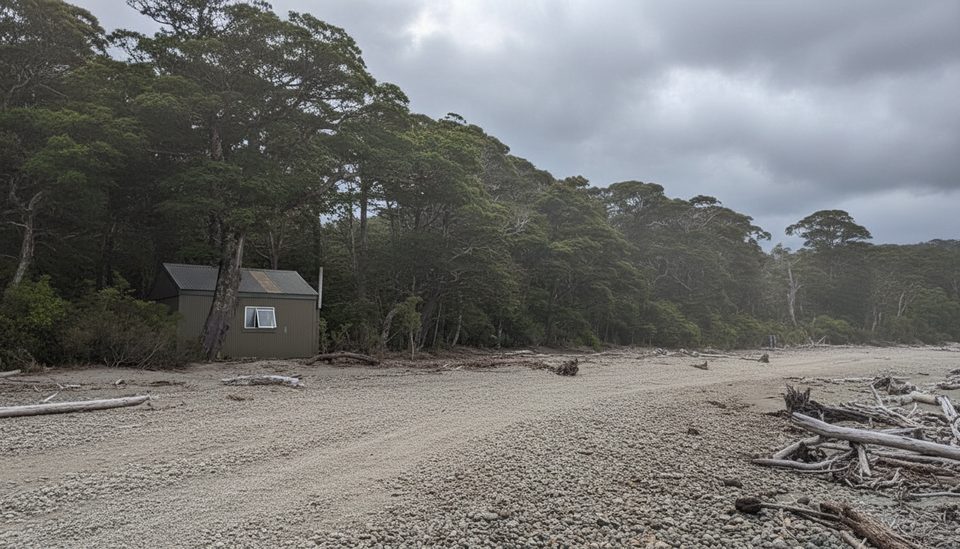
Most trampers start at the Lake Hauroko outlet and head downstream to the coast. A popular (and frankly, fun) option is to book a jet boat for the return trip up the river, rather than walking back. At the southern end, Waitutu Lodge is a rustic, book-ahead refuge used by trampers, hunters, and jet boaters. If you’re extending your journey along the coast, huts on the nearby South Coast Track (e.g., Percy Burn Hut) come into play; otherwise don’t expect Great Walk–style infrastructure on this route.
Late summer into autumn (Feb–Apr) is your best bet for fewer sandflies and (usually) drier underfoot. Spring (Oct–Nov) is lush but often very wet and muddy. Winter is only for the well-prepared: cold, boggy, and slower going. Regardless of season, Fiordland’s rain can arrive anytime—carry solid rain gear and warm layers.
Park at the Lake Hauroko road-end/boat ramp on Lillburn Valley Road (north trailhead at the lake outlet).
Remote, rough tramping track with mud, roots, and potential river crossings; limited cell coverage; heavy rain can make sections hazardous. Sandflies are prevalent.
Place · 4.3 mi away
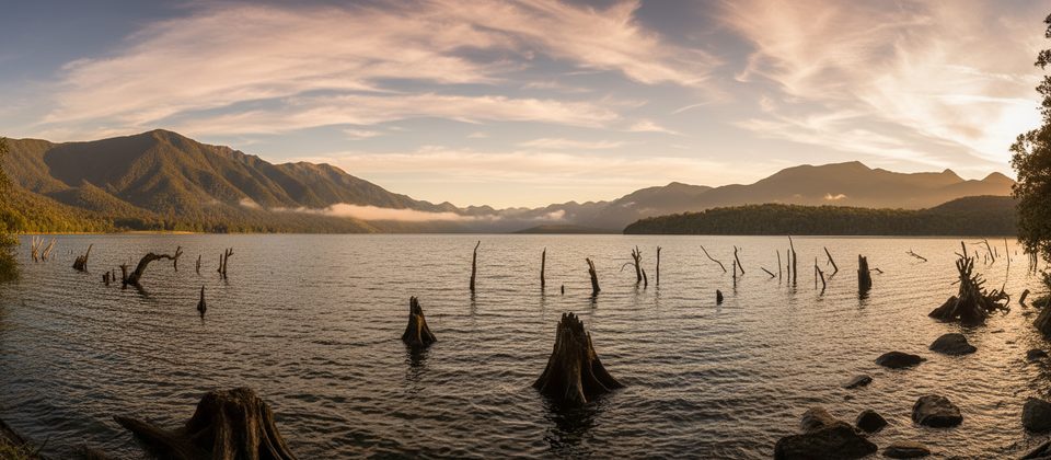
Place · 7.6 mi away
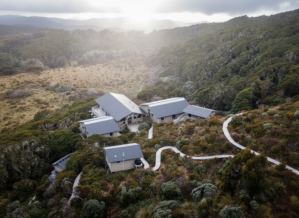
Place · 12.2 mi away
Place · 13.9 mi away
Challenging · 1.2 mi away
Challenging · 11.7 mi away
Challenging · 11.7 mi away
Challenging · 11.7 mi away

Parkwolf Tour Guide
