
Place
Challenging
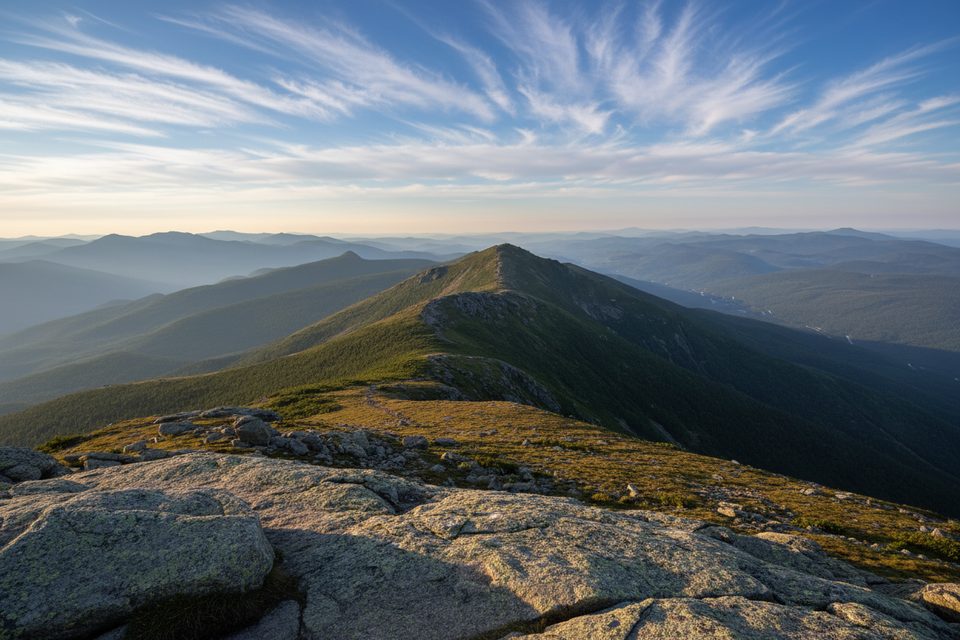
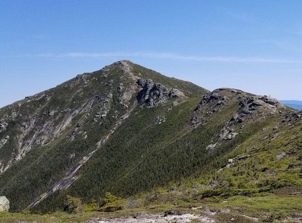
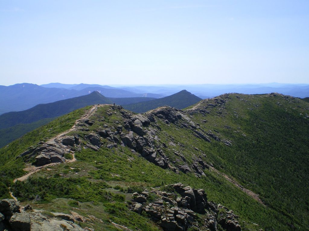
Greenleaf is the rugged, scenic way up Mount Lafayette from the Cannon Mountain side. It’s a sustained climb with rocky footing and a real backcountry feel. Expect 6.6 miles total out and back to Lafayette with about 3,349 feet of gain, plus a well‑placed stop at Greenleaf Hut along the way. It’s generally rated difficult and includes some steep, occasionally slick pitches.
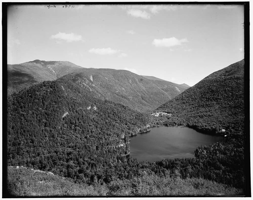
From the Cannon Mountain Tramway area, the trail slips under I‑93 and climbs steadily through forest—the classic “green tunnel.” Around the 2.5‑mile mark the world opens up, and you’ll pass through Eagle Pass, a dramatic notch that feels like a doorway to the high country. The hut arrives as a welcome landmark; in summer it typically offers snacks and water refills, with overnights by reservation. Beyond the hut, the trail enters krummholz and increasingly exposed terrain to Lafayette’s summit, where the views over Franconia Notch and toward Cannon are the payoff.
This is a steep, rocky, switchbacking footpath with sustained grades and some scrambly moves. Rocks can be slippery even when dry, and wind often ramps up at the hut and above. Markers become sparse beyond the hut, so pay attention, especially in low visibility. Strong hikers will love the quick ascent; if conditions look marginal, the hut makes a smart turnaround point.
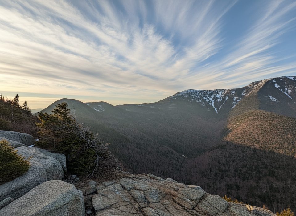
You’re climbing classic White Mountains granite—rugged, glaciated terrain that carved the U‑shaped Notch you look down into from higher up. Above treeline, the stunted, wind‑shaped trees are a telltale sign you’re entering harsher alpine conditions.
June through October is the sweet spot for clear trails, an operating hut, and big‑sky views. Mid‑autumn adds leaf‑blanketed tread and color in the woods. Shoulder seasons and winter can bring bone‑chilling gusts near the summit; pick your day carefully and be conservative above treeline.
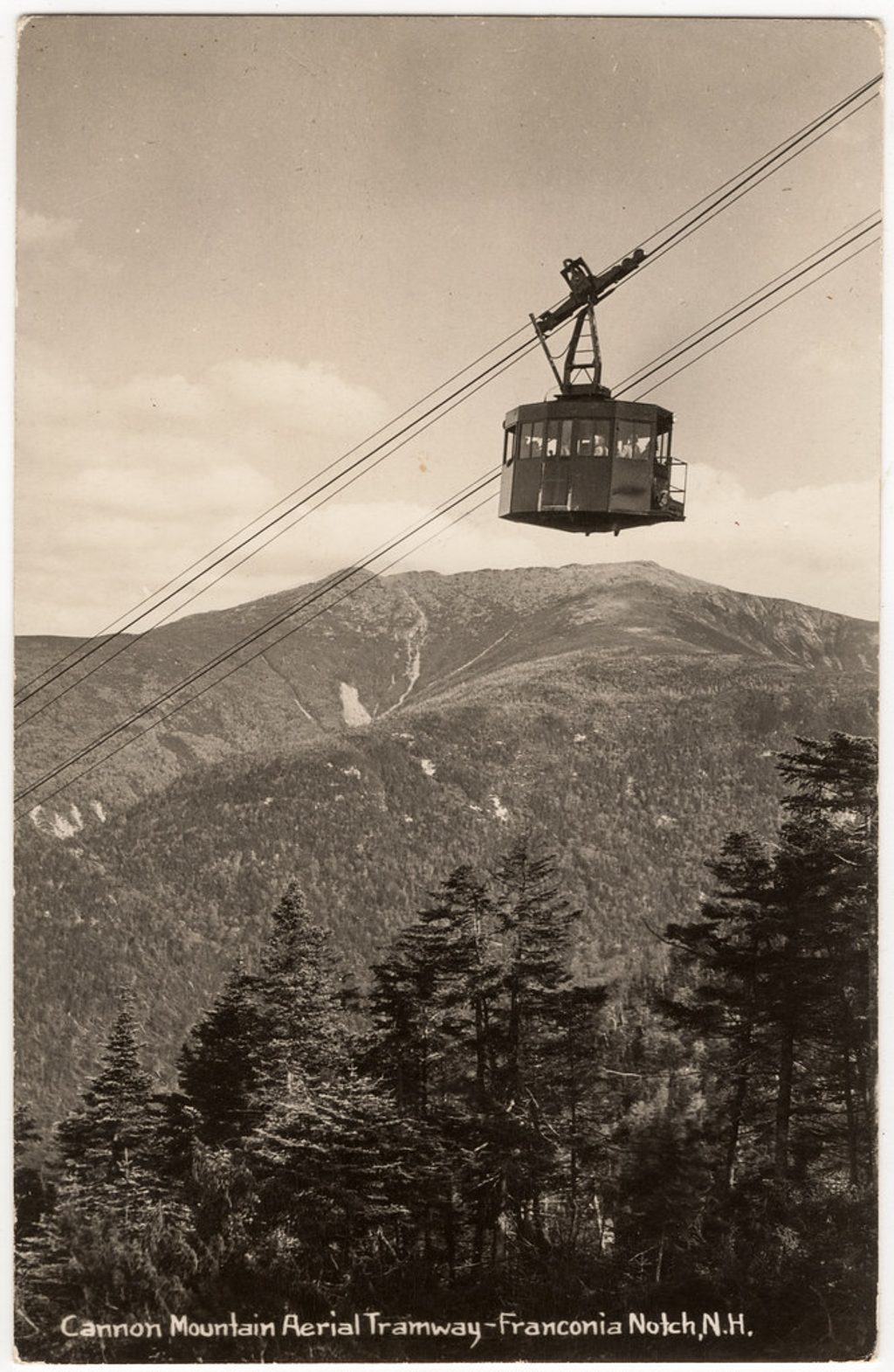
Park at the Cannon Mountain Tramway lot; it’s large and free, and often a better bet than the Lafayette campground area. The signed approach to the trailhead uses the I‑93 underpass. Bring sturdy footwear, trekking poles, and plenty of water—top up at the hut when it’s in season. Dogs are allowed but must be leashed; the steep, rocky footing isn’t for every pup. You can simply go Tramway → Hut → Lafayette → back the same way, or stop at the hut for a shorter day (~5.5 miles round trip). For extra solitude, start early or late—this route sees fewer people than the Old Bridle Path.
Large, free parking at the Cannon Mountain Tramway (Exit 34B); follow signs and the I‑93 underpass to the trail. Often less impacted than the Lafayette campground area; do not park along I‑93.
Steep, rocky, and often slick; strong winds at and above Greenleaf Hut; limited markers beyond the hut; conditions can turn severe above treeline—choose a conservative turnaround if weather builds.
Place
Place
Place
Place
Challenging
Challenging
Challenging
Moderate

Parkwolf Tour Guide
