Falling Waters Trail in Franconia Notch State Park

Franconia Notch State Park, NH

Falling Waters Trail

Waterfalls up front; Little Haystack is the hard part.

Photo: Flickr
Length
5.9mi
Time
5.5hr
Elev. change
2,746ft
Difficulty
Challenging
  • Dogs allowed
  • High point 4,639 ft
  • #11 of 29 in Franconia Notch

Hear the audio tour

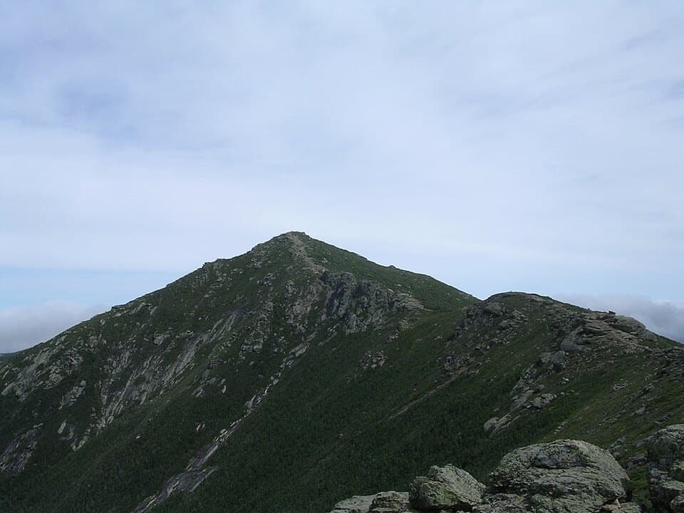
Mount Lafayette and Franconia Ridge

Overview

About Falling Waters Trail

Why go

  • Cloudland Falls is a strong payoff before the summit climb.
  • The full route ends on the open Franconia Ridge at Little Haystack.

Heads up

  • Nearly 3,000 feet of climbing makes the summit version a hard day.
  • The full outing descends the same steep, rocky trail.

Map & elevation

The route

Loading the Franconia Notch map
Full map
Elevation1,893–4,639 ft
TrailheadFalling Waters / Old Bridle Path Trailhead44.14023, -71.67946
Keep this map with you offline in the Parkwolf app

Plan your hike

Before you go

Parking

Start at the Falling Waters / Old Bridle Path Trailhead. Parking is limited and fills early. Cannon Mountain's Aerial Tramway lot is seasonal overflow with a shuttle on selected weekends and holiday Mondays; check current service before relying on it. Parking along I-93 is illegal.

Safety

The climb above the falls is steep and rocky, with a demanding descent on the return. Little Haystack reaches the open ridge, where weather can change quickly.

2 active Franconia Notch alerts

  • ClosureCannon Mountain Aerial Tramway closed and retiredMentions Cannon Mountain Aerial Tramway, referenced in this guideThe Cannon Mountain Aerial Tramway (Tram II) is closed and retired; do not plan on a tram ride.Official details
  • ClosureFlume Gorge Short Trail closed; seasonal closure Oct 26The Flume Gorge Short Trail/Rim Path is closed; before the seasonal closure, visitors must use the full 2-mile loop.Official details
Franconia Notch alerts
A park ranger sits on a dash-mounted phone, talking, as Parkwolf’s Tour Guide plays “Army Cutworm Moths: A Grizzly Bear Buffet” on Grand Loop Road below Dunraven Pass in Yellowstone
Parkwolf Tour GuideThe highest, rockiest slopes around here are a summer buffet for grizzly bears.

Franconia Notch Tour Guide

Your drive to Falling Waters Trail, narrated.

Parkwolf is a GPS audio tour guide for Franconia Notch State Park. As you drive, it chimes in with what’s ahead: hidden gems, upcoming stops, history, geology, and wildlife, right through your car’s speakers.

See the Franconia Notch audio tour

Recorded for this trailhead

Mount Lafayette and Franconia Ridge
0:00 / 0:28
“Up ahead is the trailhead for Mount Lafayette and Franconia Ridge, a demanding hike with long, open views across the White Mountains.”

Plays as you drive up to this trailhead in the Parkwolf Franconia Notch Tour Guide.

More stories near here in the app

  • Lonesome Lake and Its Shoreline Loop
  • An Old Plant in a Small Cushion
  • A Chickadee’s Hidden Food
  • Boise Rock and Its Winter Legend
  • 32 audio storiesacross Franconia Notch’s roads, triggered by GPS as you drive
  • Wildlife heatmapsfor Black Bear, Moose, Wild Turkey, and 13 more
  • Works offlinemaps, 29 trails, 33 places, and audio download before you lose signal
  • CarPlay readysimple controls built for the drive
★★★★★
“Fantastic app with many points of information… It’s great to just turn on while you’re driving and it gives you an audio tour of the national Park. We love it!!!!”
JMJamesApp Store review
Download Parkwolf on the App StoreGet Parkwolf on Google Play

4.7 from 8,600+ ratings

Trail guide

Hiking Falling Waters Trail

Is this the hike you want?Falling Waters Trail is a 5.

Falling Waters Trail is a 5.9-mile out-and-back from the Falling Waters / Old Bridle Path Trailhead to Little Haystack on Franconia Ridge. The lower part brings you to a waterfall spur; the rest is a hard mountain climb. Plan on about five to six hours and roughly 2,900 feet of climbing, including breaks. I would choose the full route if you want a demanding summit day with a waterfall stop on the way. If you mainly want to see a waterfall, turn around at the marked spur instead of treating Little Haystack as a small extension.

The lower route has changedThe current line climbs away from the older streamside path, with tight turns through the slope…

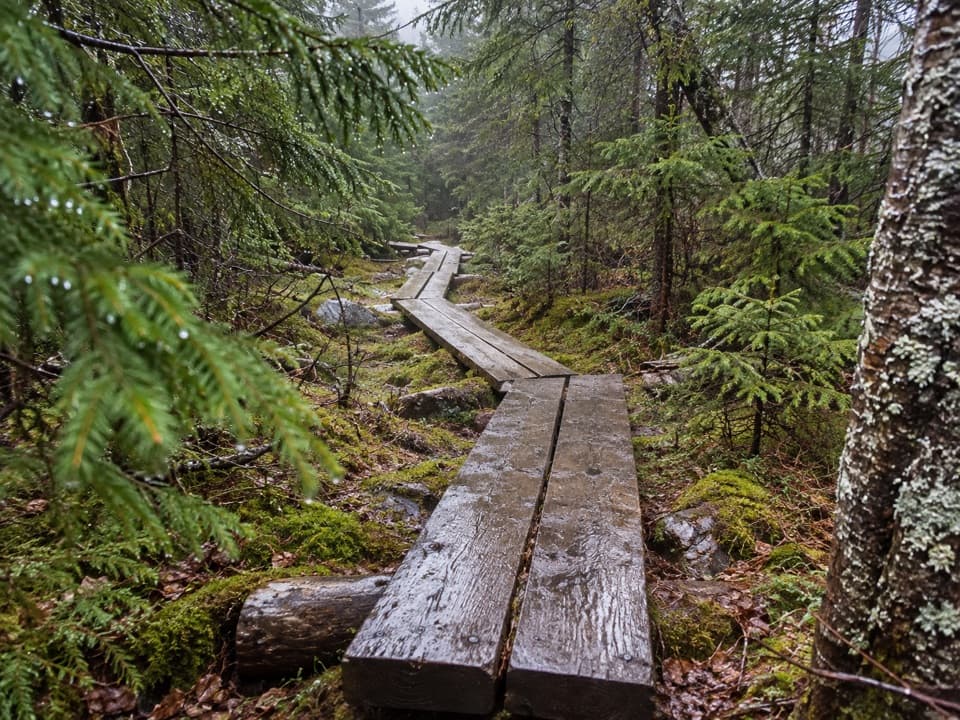
The current line climbs away from the older streamside path, with tight turns through the slope above Dry Brook. The current state map marks the new alignment and a separate spur to the falls. The lower route climbs from about 2,000 feet toward 2,800 before it rejoins the upper trail. If your map still draws the route beside the brook, use today's trail markers for this section. This is a real climb, not a flat walk beside the water.

Take the falls spurCloudland Falls is the confirmed destination on the marked spur.

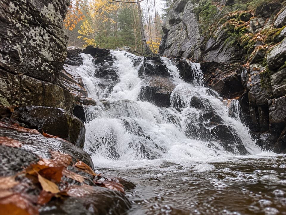
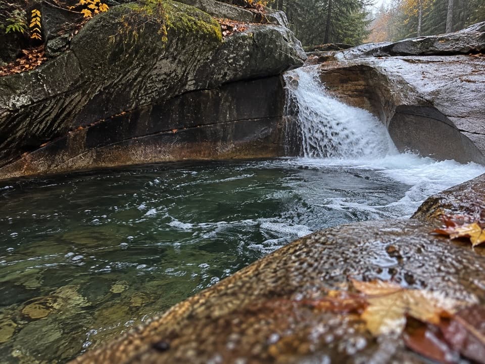
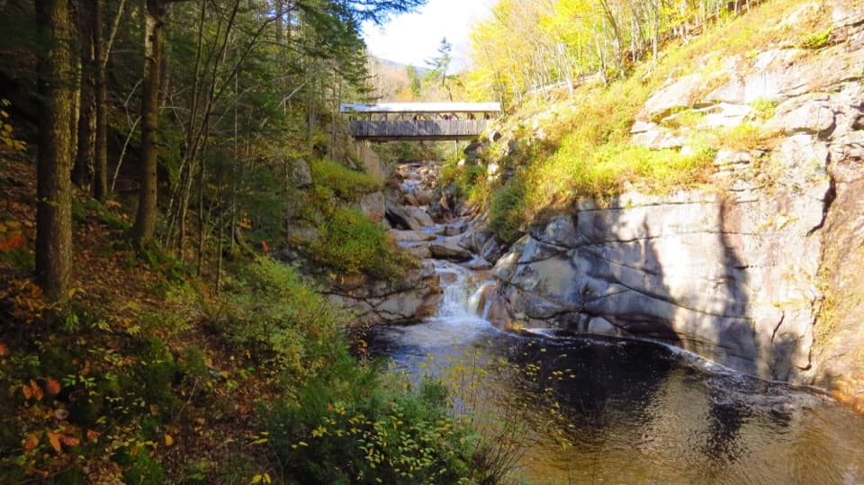
Cloudland Falls is the confirmed destination on the marked spur. It drops about 80 feet over a fan-shaped rock face, a good payoff before the longer ascent. The current map does not give a dependable mileage for a waterfall-only visit, so use the falls as your turnaround instead of planning around an older figure. The waterfall stop is the shorter choice; Little Haystack is the full mountain hike.

Keep climbing to Little HaystackPast the falls area, Falling Waters continues steeply to the Franconia Ridge Trail near Little…

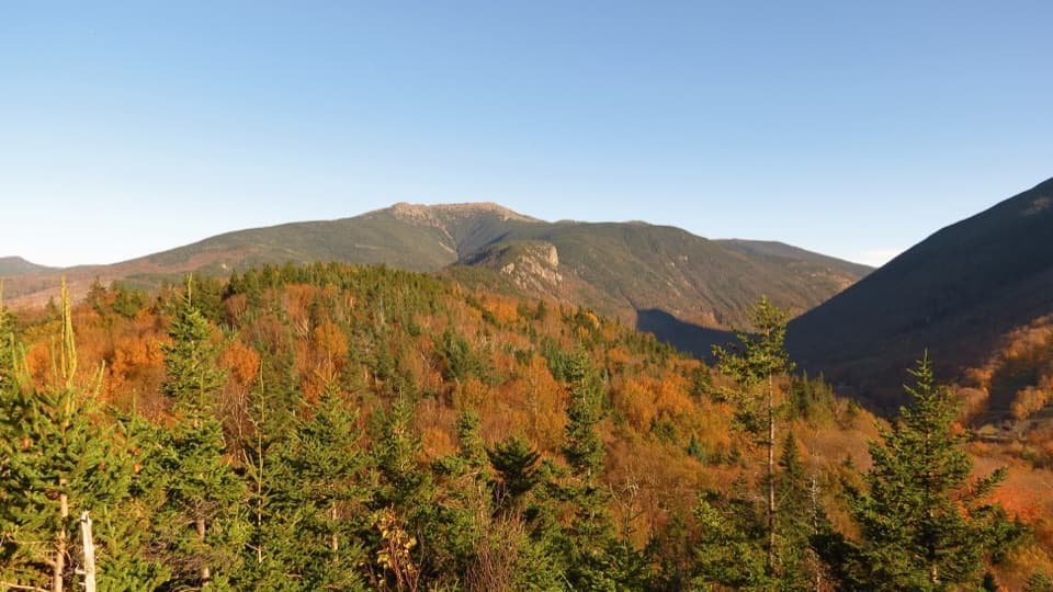
Past the falls area, Falling Waters continues steeply to the Franconia Ridge Trail near Little Haystack. Hikers repeatedly describe the upper climb as rocky and strenuous, and that is the part to plan around. At the top, the trees open onto Little Haystack and the wide Franconia Ridge views. The summit version of this trail ends there: turn back and descend the same route. Keep some energy for that steep, rocky descent, and take the exposed ridge weather seriously.

Do not confuse it with the ridge loopThe 5.

The 5.9 miles here covers the full out-and-back to Little Haystack, not the Franconia Ridge Loop. That loop continues over Mount Lincoln and Mount Lafayette before descending on other trails; it is a longer day with different route and weather decisions. For this trail, the waterfall spur is the shorter choice and the summit is the full commitment.

Parking and dogsStart at the shared Falling Waters / Old Bridle Path access.

Start at the shared Falling Waters / Old Bridle Path access. Parking is limited and fills early; the Cannon Mountain Aerial Tramway lot serves as seasonal overflow, with a shuttle on selected weekends and holiday Mondays. Check the current shuttle dates before relying on it, and never park along I-93. Dogs are allowed on park hiking trails under its pet policy; keep them on a leash no longer than six feet.

Wildlife

Wildlife in Franconia Notch

All Franconia Notch wildlife maps

Sighting maps show where each species has been reported across Franconia Notch. Wildlife moves, so no sighting is guaranteed.

Keep exploring

Near Falling Waters Trail

See it all on the map

Trails that start nearby

Places near the trailhead

Parkwolf’s Franconia Notch ranking

Top-rated trails in Franconia Notch

All 29 trails
  1. 1Franconia Ridge Trail LoopChallenging · 8.1 mi
  2. 2Flume Gorge TrailModerate · 2 mi
  3. 3Artists Bluff and Bald Mountain LoopModerate · 1.3 mi
  4. 4Lonesome Lake TrailModerate · 3 mi
  5. 5Basin Cascade TrailModerate · 2 mi
  6. 6Mount Pemigewasset TrailModerate · 3.3 mi

Take Parkwolf to Franconia Notch.

The audio tour guide for the drive, plus offline maps, trails, and wildlife heatmaps for when the signal drops.

4.7 from 8,600+ ratings

Download Parkwolf on the App StoreGet Parkwolf on Google Play