
Place
Challenging
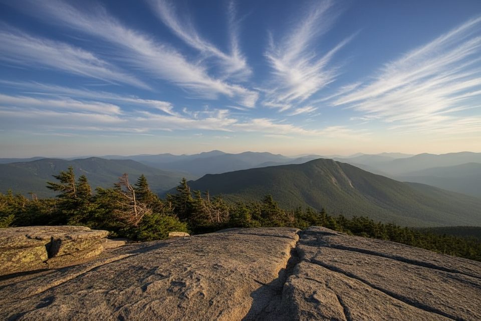
This is the classic west-side approach to Mount Liberty via a signed segment of the Appalachian Trail. Expect a steady, no‑nonsense climb on a well‑built, rocky path with long runs of stone steps. Most hikers do this as an out‑and‑back to Mount Liberty: about 6.7 miles total with roughly 2,900–3,100 feet of gain, taking 5–6 hours for most.
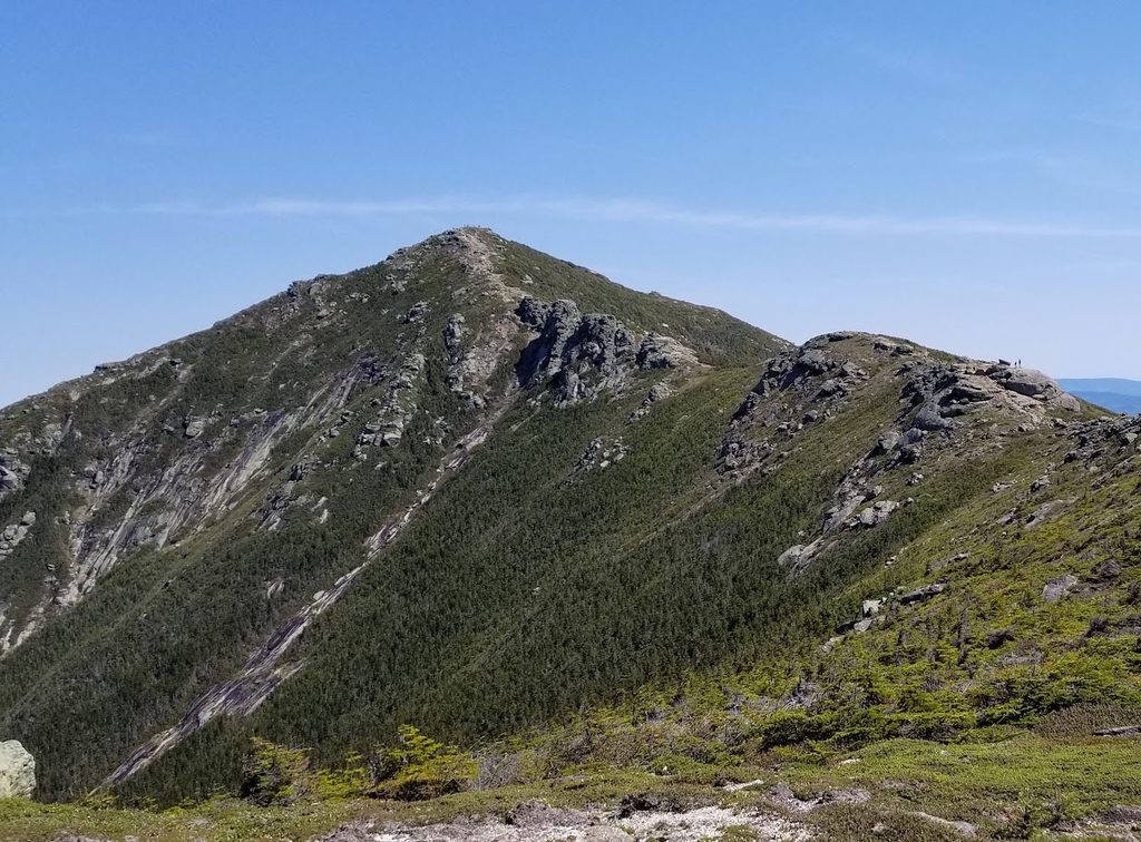
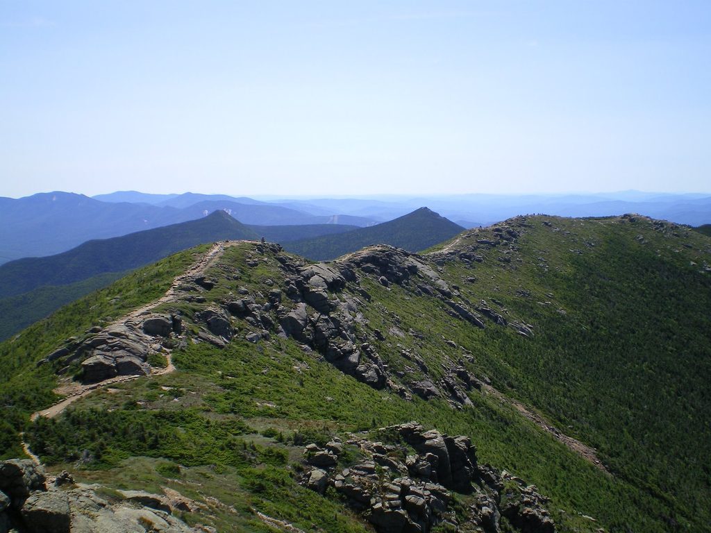
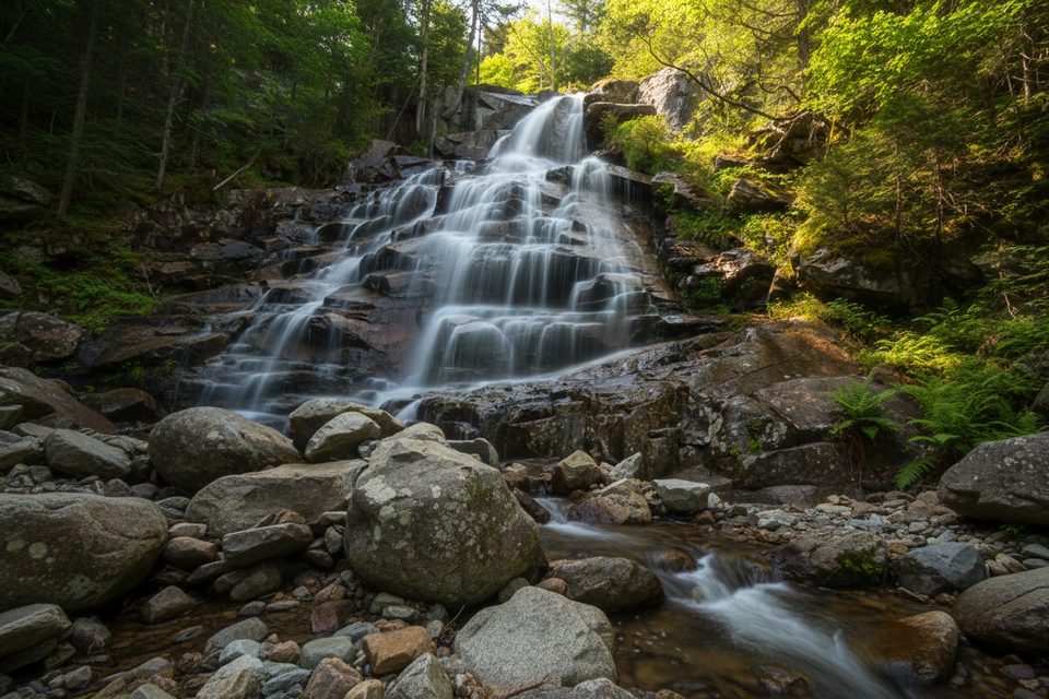
From near the Flume Visitor Center, you’ll briefly follow the recreation path before hitting the Liberty Spring Trail proper. The grade steepens after the early junction with the Flume Slide Trail, then settles into an unrelenting stair‑master through mature forest. You’ll cross a brook, pass the short spur to Liberty Spring Tentsite, then reach Franconia Ridge; a right turn leads to Mount Liberty’s open ledges and sweeping notch views. Views are limited until the ridge, so keep expectations in check until the finale.
Liberty Spring Tentsite sits just below the ridge and is first‑come, first‑served with platforms, a composting privy, a dishwashing area, and a reliable spring. There’s a seasonal caretaker, and the posted fee is $15 per person per night; when unstaffed, expect self‑service payment. Treat or filter all water.
It’s rated hard for good reason: the ascent is steep and sustained with minimal letup. The stony tread is generally secure, but sections can be muddy or slick after rain or in shoulder seasons. In winter and late fall/early spring, packed snow and ice are common—traction like microspikes is often necessary. The ridge can hold wind‑drifted snow.
If you’re linking Liberty with Mount Flume, know that the Flume Slide Trail is extremely steep and slick; descending it is widely discouraged. When in doubt, ascend the Slide in dry conditions or simply return the way you came on Liberty Spring.
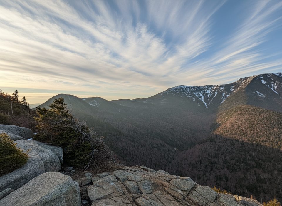
You’re climbing the south end of the Franconia Range, with forested summits and open ledges for vistas. Down in the notch, the famous gorge walls are Conway granite—Jurassic‑age rock that frames this landscape. Near the ridge, look for hardy, wind‑pruned tree growth along the trail corridor.
Open year‑round. Summer and fall offer the most straightforward footing (and foliage). Spring can be wet and icy; winter travel is feasible with proper traction. This route is popular; start early for parking and a quieter ascent. Navigation apps sometimes misplace the start—follow on‑site signage from the recreation path.
Park at the Liberty Springs/Whitehouse lot just north of the Flume Visitor Center, or at the Visitor Center and walk the recreation path to the signed start. The trailhead area is about 0.2 miles north of the Visitor Center.
Very steep, sustained ascent; traction often needed in winter/shoulder seasons. Do not descend the Flume Slide Trail due to slick slabs. Treat all water at the tentsite. Navigation apps can misplace the start—use on-site signs along the recreation path.
Place
Place
Place
Place
Challenging
Challenging
Challenging
Moderate

Parkwolf Tour Guide
