Overview
About Crocketts Bay
Why stop
- A sandy landing, water time and a Bear Hill walk in one island stop.
Heads up
- Boat-only access depends on arrangements and weather; bring supplies.
Map
Where it is

The highest, rockiest slopes around here are a summer buffet for grizzly bears.
Freycinet Tour Guide
Your drive to Crocketts Bay, narrated.
Parkwolf is a GPS audio tour guide for Freycinet National Park. As you drive, it chimes in with what’s ahead: hidden gems, upcoming stops, history, geology, and wildlife, right through your car’s speakers.
- 24 audio storiesacross Freycinet’s roads, triggered by GPS as you drive
- Wildlife heatmapsfor Wombat, Echidna, Red-necked Wallaby, and 13 more
- Works offlinemaps, 21 trails, 29 places, and audio download before you lose signal
- CarPlay readysimple controls built for the drive
“Fantastic app with many points of information… It’s great to just turn on while you’re driving and it gives you an audio tour of the national Park. We love it!!!!”


Guide
More about Crocketts Bay
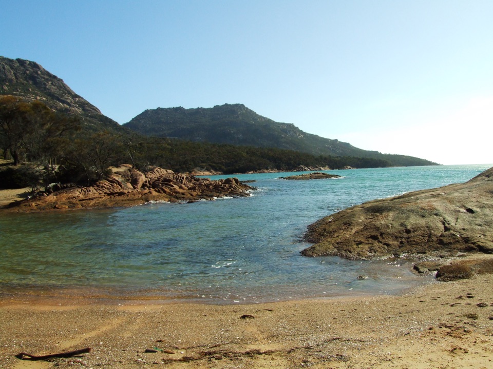
A boat-only beach landingCrocketts Bay is a sandy landing beach and small backcountry campground on Schouten Island,…
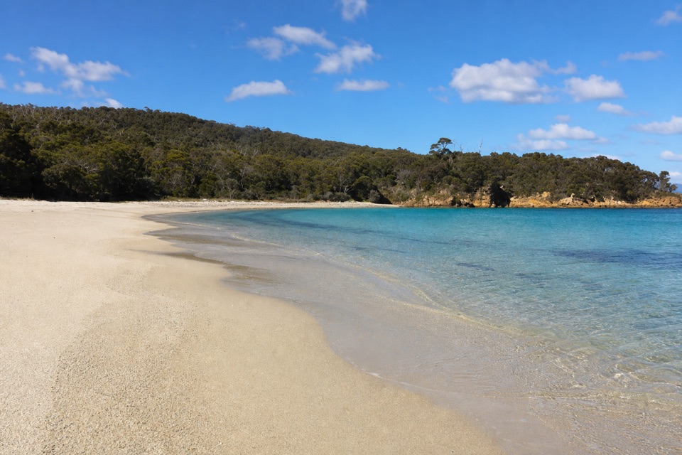
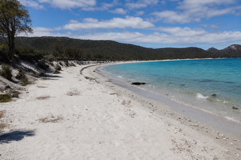
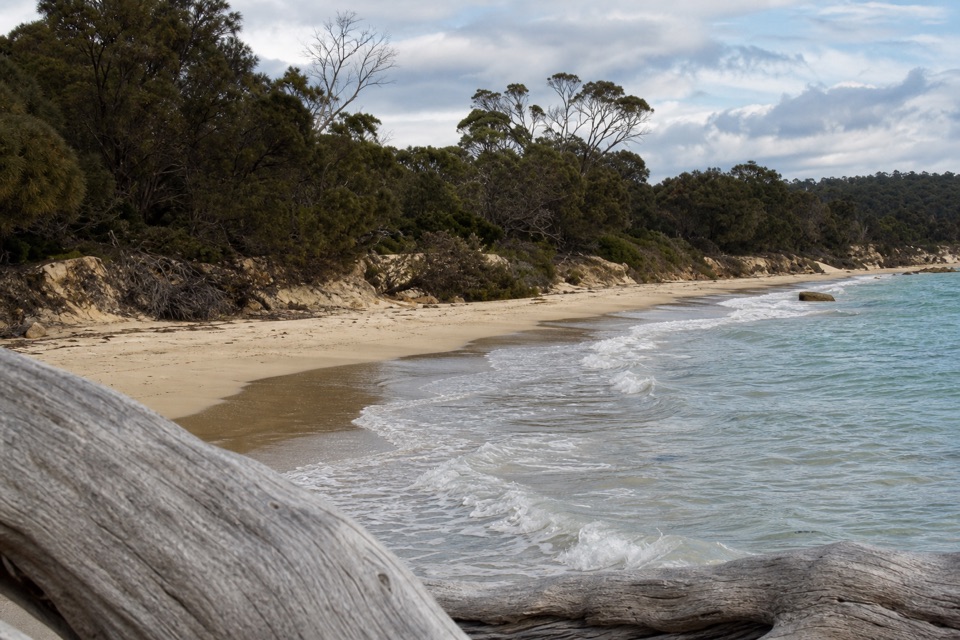
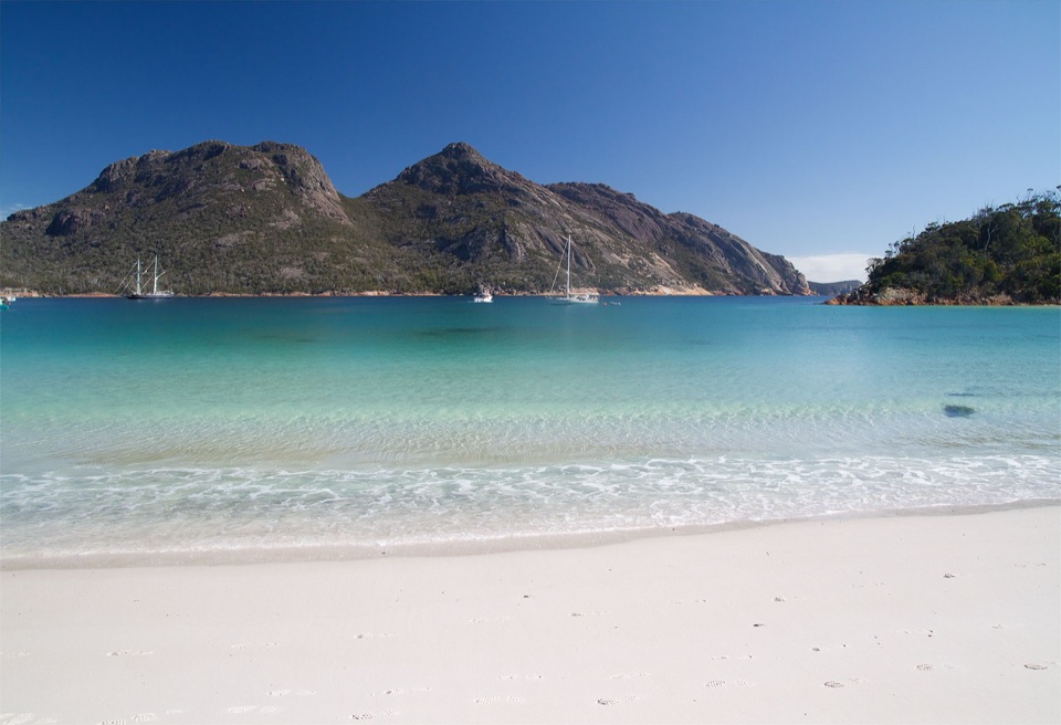
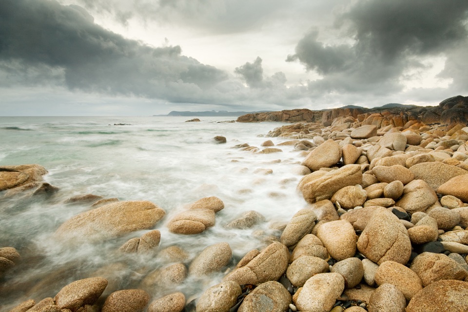
Crocketts Bay is a sandy landing beach and small backcountry campground on Schouten Island, within Freycinet National Park. Visitors step straight from a boat onto the shore. It suits a planned island visit for beach time and a walk inland; it is not a drive-up stop.
Arrange the trip and bring suppliesTransfers from Coles Bay are arranged on request around the operator's other services, and…
Transfers from Coles Bay are arranged on request around the operator's other services, and weather can affect boat landings. There is no road access. Bring the food, drinking water and other supplies you need for the whole visit. Public toilet access at this exact camp is not clearly documented, so check before relying on a facility.
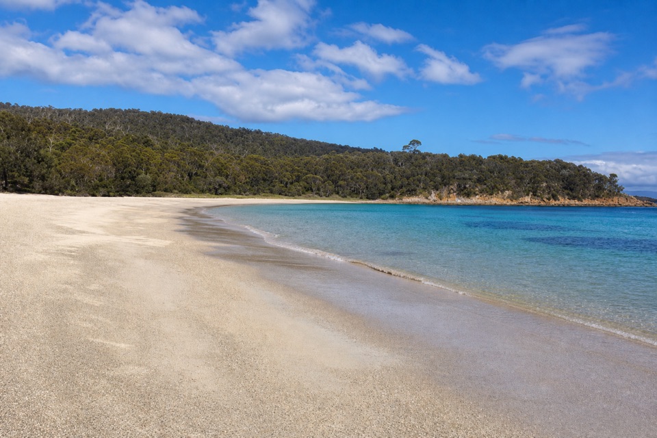
Beach time and a hill walkThe landing gives you a sandy shore for swimming, snorkelling or wandering the waterline.
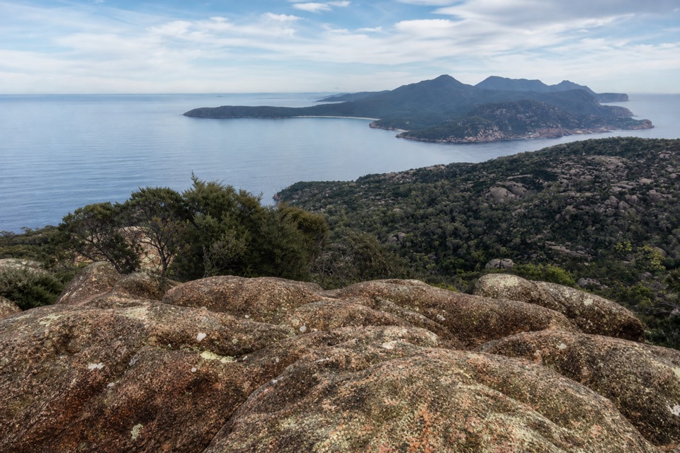
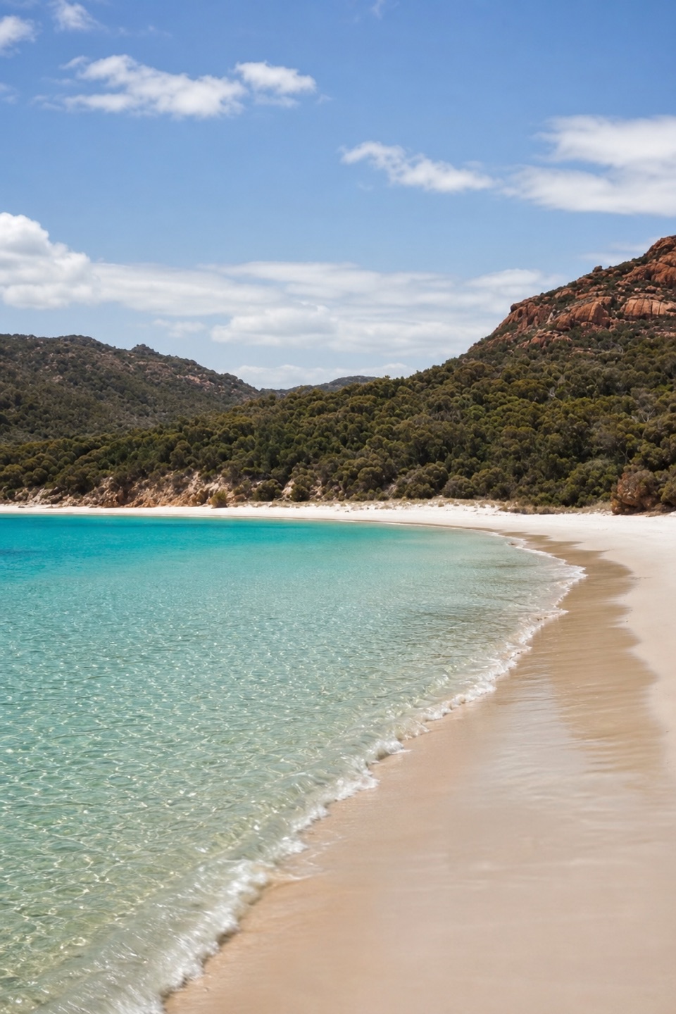
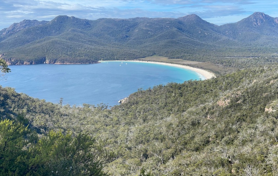
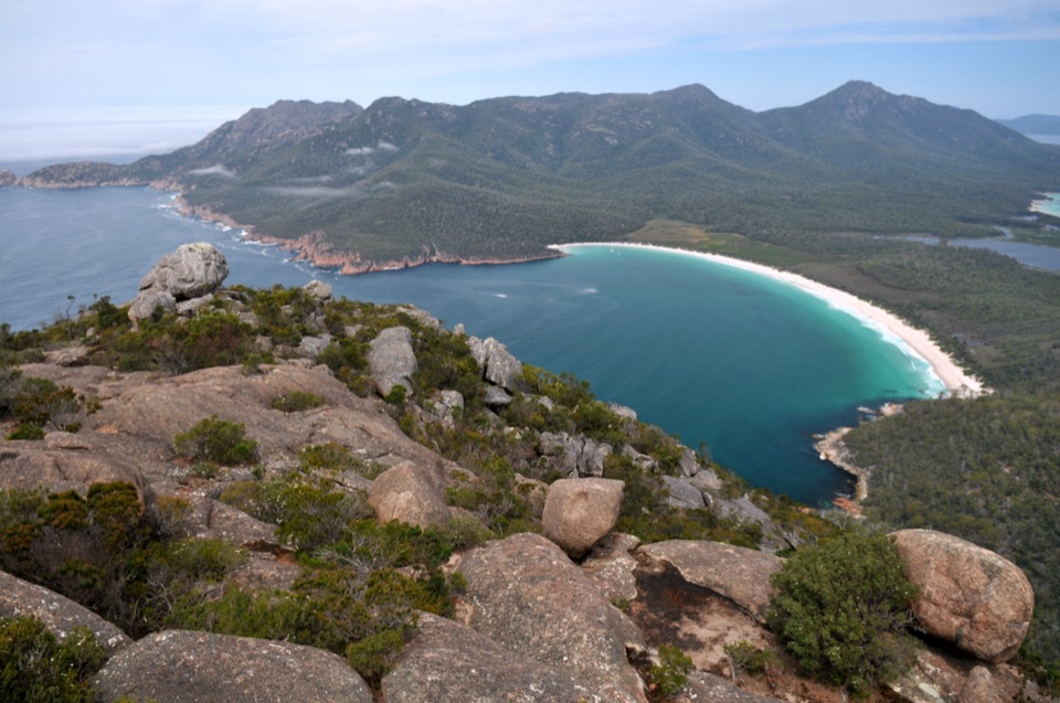
The landing gives you a sandy shore for swimming, snorkelling or wandering the waterline. From here, Bear Hill is about a one-hour return walk and adds an elevated view over the Freycinet Peninsula. At the beach, frame the pale sand against the blue-green water; take the walk for the wider view.
Schouten beyond the baySchouten Island is also known by its Paredarerme name, tinggana marraboona, and became part of…
Schouten Island is also known by its Paredarerme name, tinggana marraboona, and became part of the national park in 1977. Abel Tasman named the island in 1642 for Joost Schouten, a Dutch East India Company council member. The island's wider past includes sealing, whaling and sheep farming; historic huts and a former tin-mine shaft are noted near tracks elsewhere on the island, not at this beach.
Wildlife
Wildlife in Freycinet
 27 sightingsWombatMost seen around 7 PMSighting map
 35 sightingsEchidnaMost seen around 6 PMSighting map
 358 sightingsRed-necked WallabyMost seen around 6 PMSighting map
 17 sightingsPademelonMost seen around 7 PMSighting map
 27 sightingsWhite-bellied Sea-EagleMost seen around 5 PMSighting map
 50 sightingsKookaburraMost seen around 7 AMSighting map
Sighting maps show where each species has been reported across Freycinet. Wildlife moves, so no sighting is guaranteed.