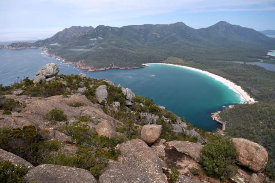
Bryans Beach

Secluded white-sand beach reached via a long, rewarding hike
Bryans Beach, Freycinet National Park
InsideFreycinet National Park

Overview

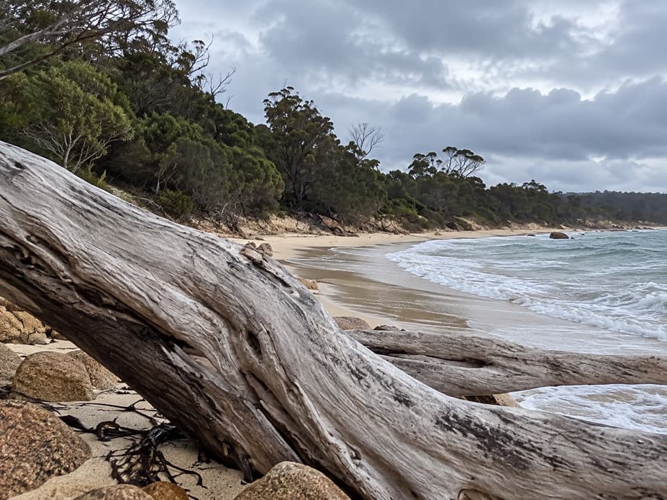
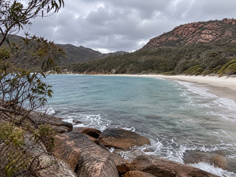
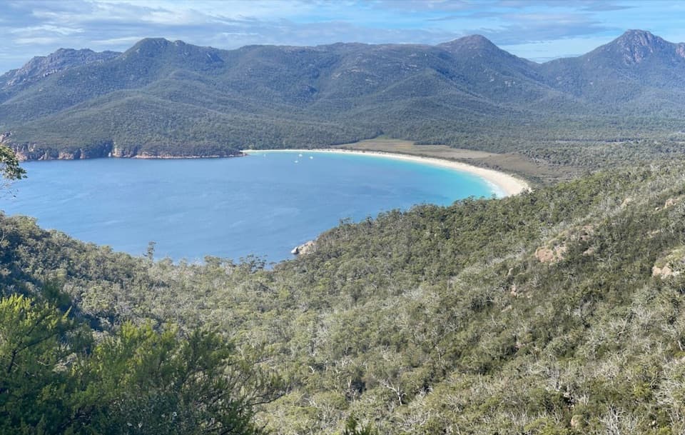
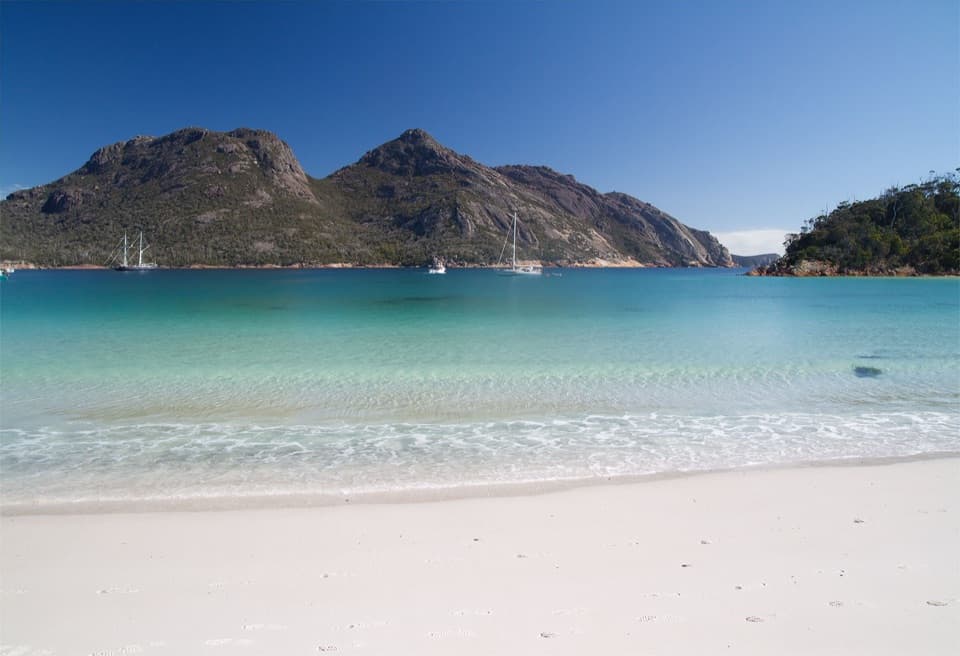
Tucked beyond the usual Freycinet hotspots, Bryans Beach is the quiet, white‑sand curve people whisper about—some even rate it above Wineglass for beauty. Clear water, a wild edge, and very few footprints are the draw.

Getting There

There’s no road or parking here. Start from the Wineglass Bay car park and follow the Hazards Beach Track onto the main Peninsula Track, passing Cooks Beach and the Promise Bay overnight walkers’ campsite, then cross a headland to reach Bryans Beach. It’s roughly 18.5 km and typically 4.5–5 hours one way, often folded into a multi‑day outing or the full Freycinet Peninsula Circuit. A shorter side trip can be done from Cooks Beach. Sturdy footwear helps—granite and loose gravel are common underfoot.

What to Expect on Arrival

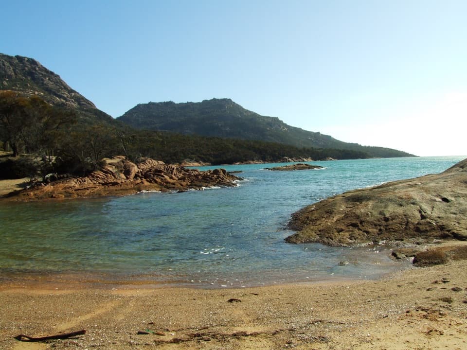
This is a natural, unpatrolled beach with no infrastructure. Think soft sand, clear water, and big-sky coastal views—plus total peace if you’ve timed it well. It feels remote because it is.

Facilities and Water (or lack thereof)

There are no toilets, taps, or tanks at Bryans Beach. Nearby composting toilets are found at Hazards Beach, Cooks Beach (Cooks Corner), and Wineglass Bay camp areas. Water sources in the area are unreliable: Lagunta Creek can run dry, tanks at Cooks Hut aren’t guaranteed, and there’s no water at the Wineglass Bay campsite. Fill up before you go—there’s a filtered station at the visitor centre and taps at Honeymoon Bay and the Wineglass Bay Walking Tracks car park. This is a Fuel Stove Only Area; no open fires. During Total Fire Bans, no naked flames at all.

Safety and Practicalities

Beaches and cliffs here are unpatrolled—use caution. Carry sufficient water, sun and wind protection, and consider a PLB if you’re venturing far. Drones aren’t permitted in Tasmanian national parks. A valid parks pass is required. Wildlife is common on roads at dawn and dusk, so drive carefully to and from the trailhead.

History and Landscape

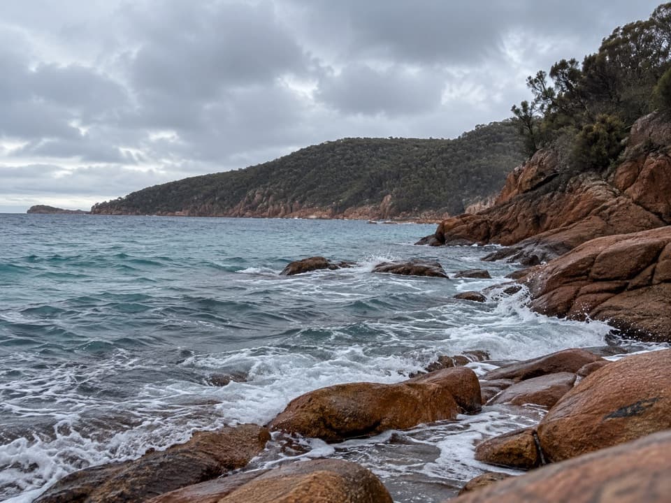
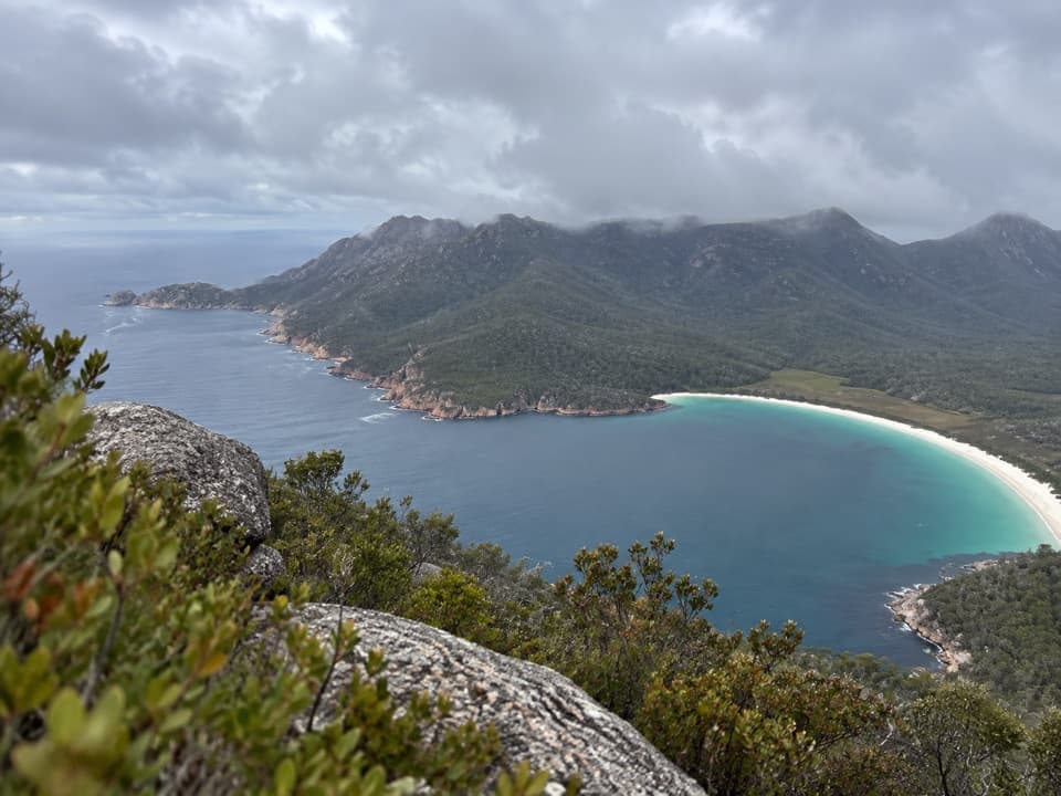
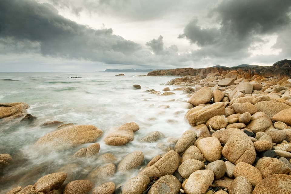
Freycinet’s skyline is The Hazards—pink granite peaks above sheltered white beaches. Bryans Beach also has a rough‑edged past: shore‑based bay whaling operated along this coast in the 1820s–1830s. Coastal erosion has long shaped the bank here; attempts to rebuild sand have been undermined by natural processes.

Best Time to Visit

Start early so the long approach and return fit comfortably in daylight. Weekdays see fewer walkers. Plan your water and food before leaving Coles Bay and the visitor centre, and treat any natural or tank water you do use.

Pros

  • Secluded white sand and crystal-clear water
  • Rewarding long walk that stays quiet even on busy days

Cons

  • No facilities or water at the beach
  • No road access—reach on foot via a long track

Tips

  • Start from the Wineglass Bay car park via the Hazards and Peninsula tracks.
  • Fill all bottles at the visitor centre or taps at Honeymoon Bay/car park.
  • There are no facilities at Bryans Beach—pack out everything you bring.
  • Treat any creek or tank water and don’t rely on it in dry periods.
  • Drones aren’t permitted in Tasmanian national parks.
The Parkwolf tour guide sitting on a phone mounted in a car

Parkwolf Tour Guide

Like a tour guide in your car.

Save the places you found around Freycinet, then let Parkwolf guide the drive between them.Download Parkwolf on the App Store