Parking
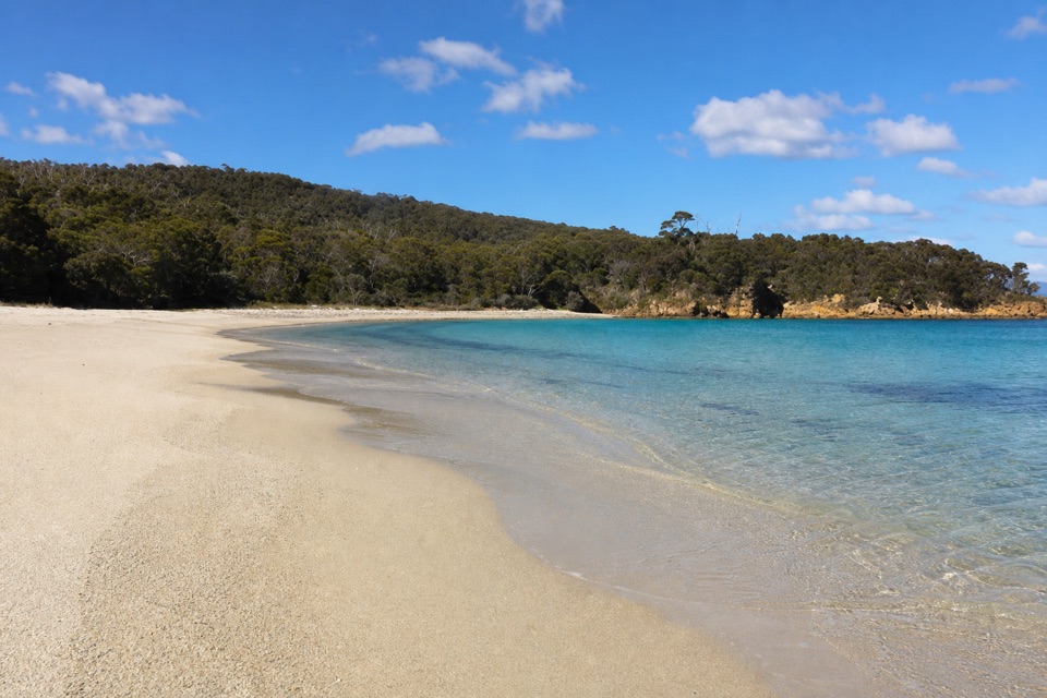
There is no road approach. Reach Moreys Bay beach by boat or sea kayak, and arrange a landing or pickup at Crocketts Bay, or retrace the path.
Freycinet National Park, TAS
A short, rough link between two remote Schouten Island beaches.
Overview
Map & elevation
Plan your hike

The highest, rockiest slopes around here are a summer buffet for grizzly bears.
Freycinet Tour Guide
Parkwolf is a GPS audio tour guide for Freycinet National Park. As you drive, it chimes in with what’s ahead: hidden gems, upcoming stops, history, geology, and wildlife, right through your car’s speakers.
“Fantastic app with many points of information… It’s great to just turn on while you’re driving and it gives you an audio tour of the national Park. We love it!!!!”


Trail guide
Moreys Bay to Crocketts Bay is a point-to-point walk on Schouten Island, from the boat-landing beach at Moreys to the camping beach at Crocketts. The mapped line is about 0.38 miles (0.61 km) one way and takes roughly 30 minutes. One published distance, 1.222 km, is almost twice that line, but its one-way or return convention isn't stated. If you retrace the route, plan for about 0.76 miles total. Arrange your landing and pickup at the two ends before you set out; the exact beach landing points are approximate.
This is a short bush track, not an easy stroll along open sand. It has rough, lightly surfaced ground with sandy stretches. A ford is mapped near the Crocketts end, but its current water and footing haven't been checked. Don't attempt it if conditions are unsafe. The route is classified as rough bushwalking with limited surfacing, so expect a less polished path than Freycinet's main peninsula walks.
Schouten Island has no road access or shops. Reach Moreys Bay by boat or sea kayak, then arrange a landing or pickup at Crocketts Bay, or walk back the same way. A valid parks pass is required for Tasmania's national parks; bring your own food and drinking water. Pets aren't allowed on the walk.
Behind Moreys Bay beach, old huts from the island's pastoral-lease era now serve as visitor-information and museum space and as a campground-host base. They're a bit of history at the start of the walk, but not a place to count on supplies.
Wildlife
 27 sightingsWombatMost seen around 7 PMSighting map
 35 sightingsEchidnaMost seen around 6 PMSighting map
 358 sightingsRed-necked WallabyMost seen around 6 PMSighting map
 17 sightingsPademelonMost seen around 7 PMSighting map
 27 sightingsWhite-bellied Sea-EagleMost seen around 5 PMSighting map
 50 sightingsKookaburraMost seen around 7 AMSighting map
Sighting maps show where each species has been reported across Freycinet. Wildlife moves, so no sighting is guaranteed.
Keep exploring
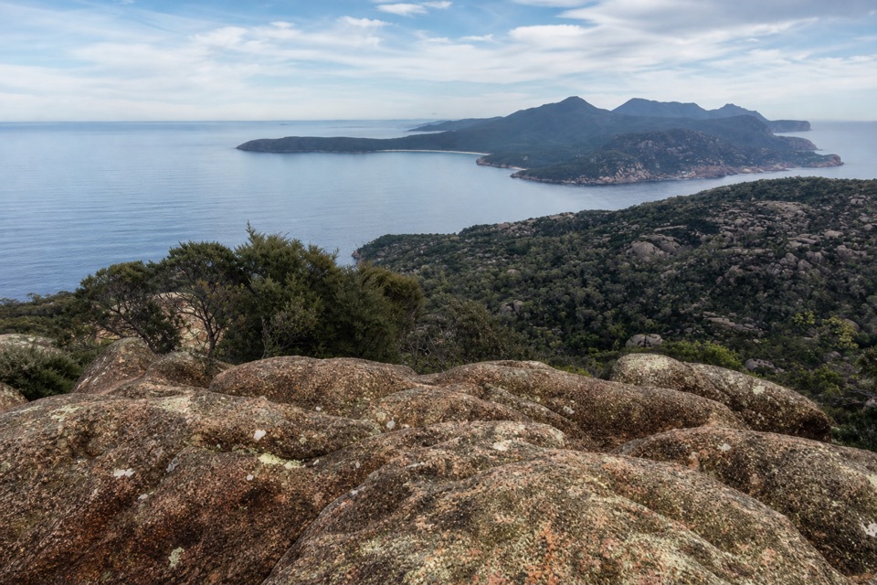 ChallengingBear Hill from Crocketts Bay2.4 km · 1.5 hr · 0.5 km awayA short granite scramble with wide views toward Freycinet.
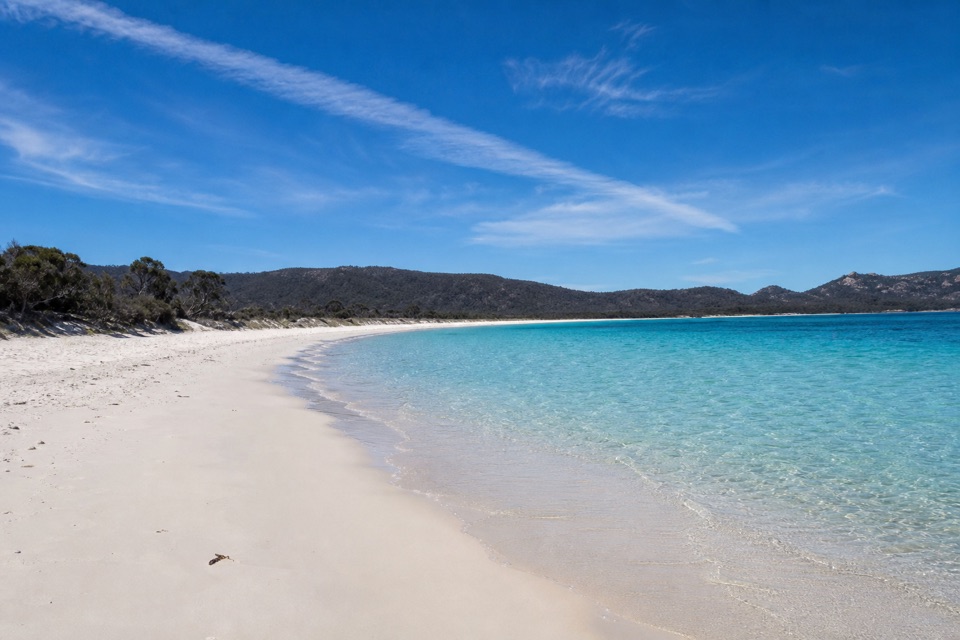 EasyCooks Beach to Bryans Corner6.5 km · 2 hr · 8.1 km awayA remote beach detour on the peninsula’s overnight circuit.
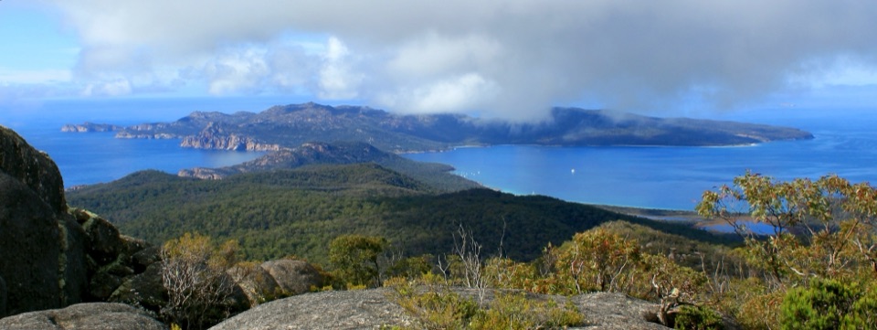 ChallengingMount Freycinet Summit1.5 km · 2 hr · 9.7 km awayA steep 1.5 km return spur to Freycinet’s 620 m high point.
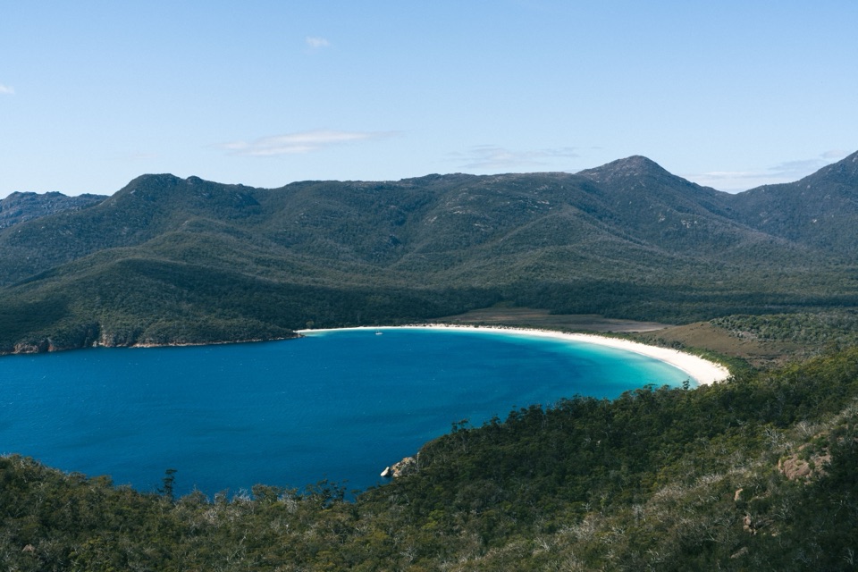 ModerateWineglass Bay Lookout Track2.9 km · 1.3 hr · 17.2 km awayThe climb ends above Wineglass Bay’s famous white crescent.
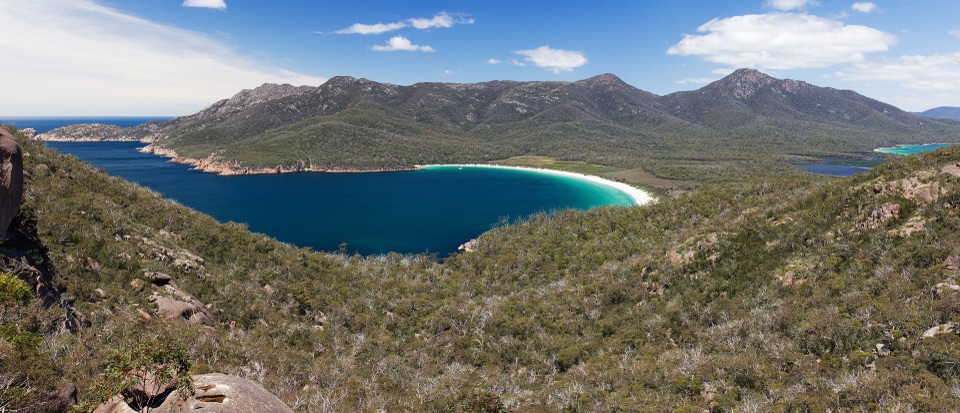 ModerateWineglass Bay Track5.4 km · 2.5 hr · 17.2 km awaySteep stone steps cross the saddle to a pale crescent of sand.
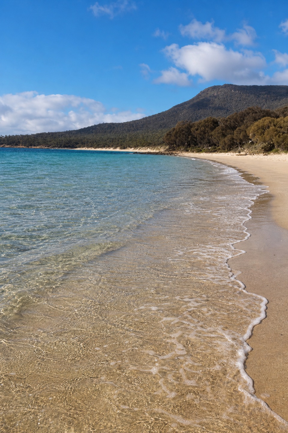 ModerateCooks Beach Track via Hazards Beach27.7 km · 9 hr · 17.2 km awayA remote beach you earn through sand, scrub and granite.
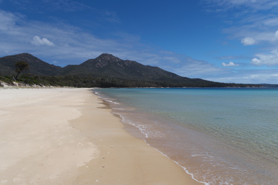 ModerateHazards Beach Track11.4 km · 4.5 hr · 17.2 km awayA coastal track to the north end of Hazards Beach.
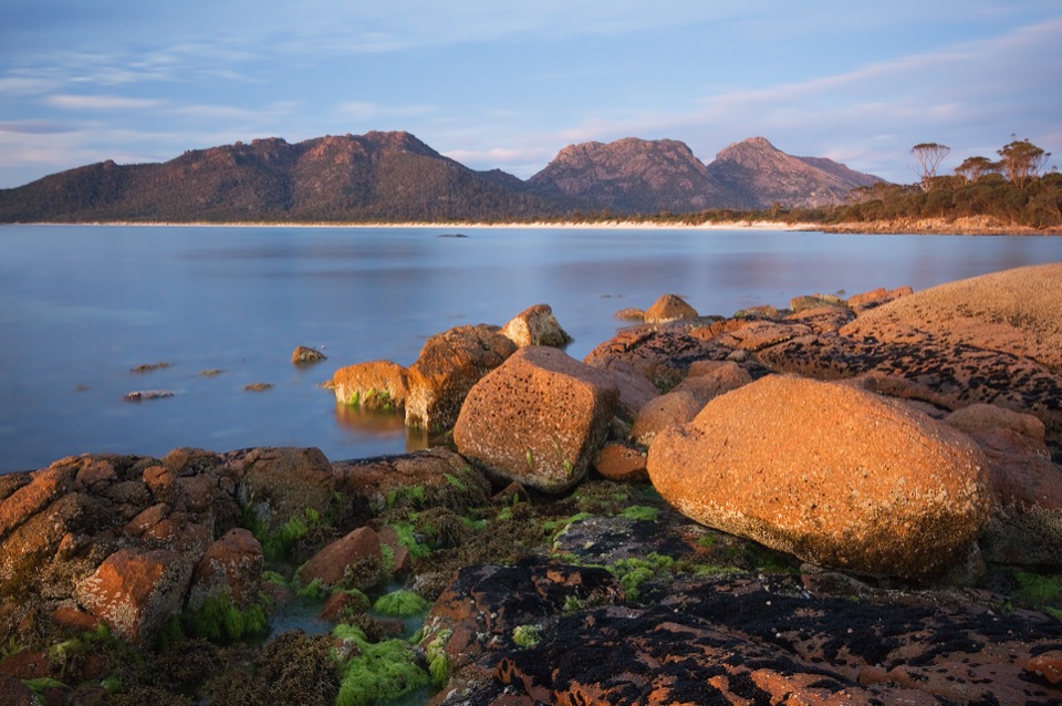 ModerateIsthmus Track to Hazards Beach10.1 km · 4 hr · 17.2 km awayTwo bays and a steep staircase make a proper half-day walk.
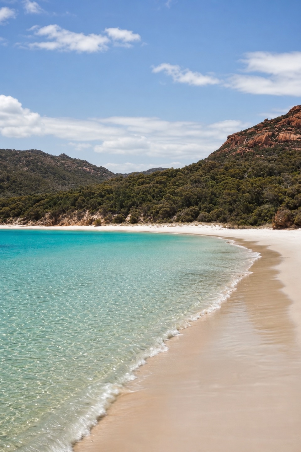 Beach · 0.2 km awayMoreys BayA remote sandy landing framed by Schouten Island’s granite hills.
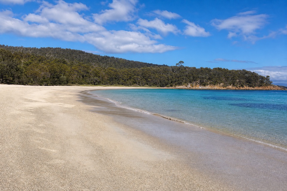 Beach · 0.4 km awayCrocketts BayA boat-only sandy landing with a one-hour Bear Hill walk.
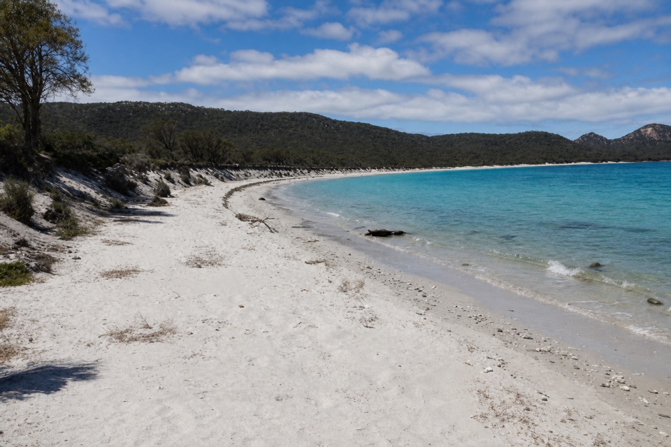 Beach · 4.5 km awayBryans BeachA 1.8 km sweep with a 25-hectare lagoon behind it
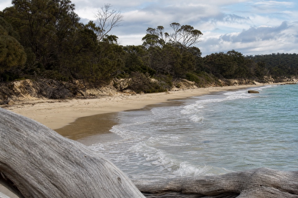 Campground · 7.9 km awayCooks Beach CampsiteA secluded beach camp for walkers who bring their own water
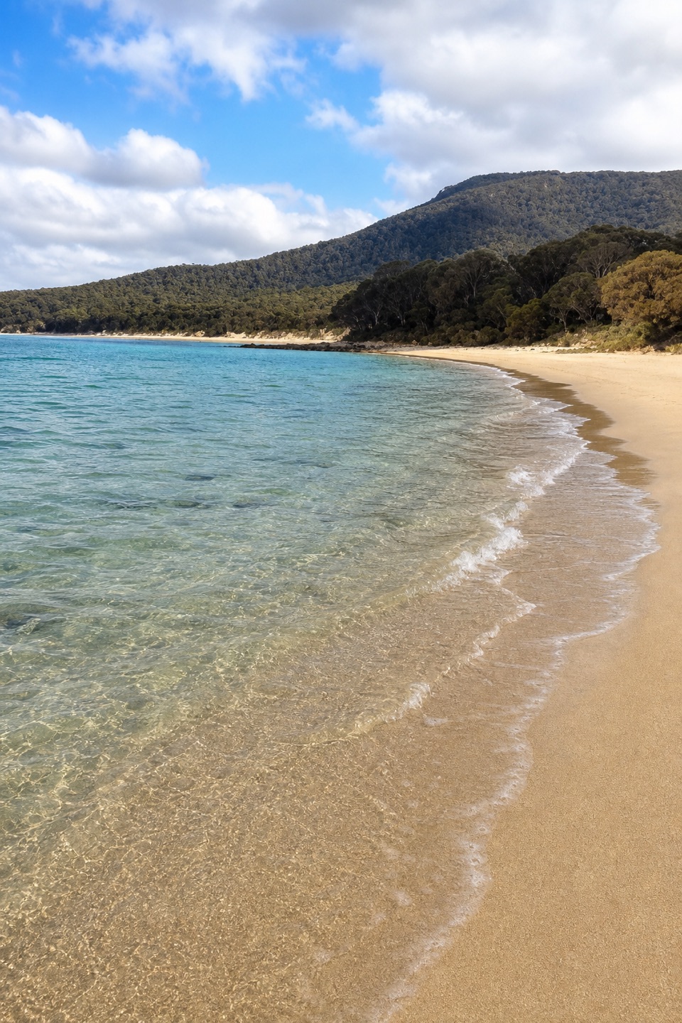 Beach · 8.3 km awayCooks BeachA kilometre-long beach on the peninsula’s big circuit.Sight · 9.5 km awayMount FreycinetA steep summit climb opens onto the whole peninsula.
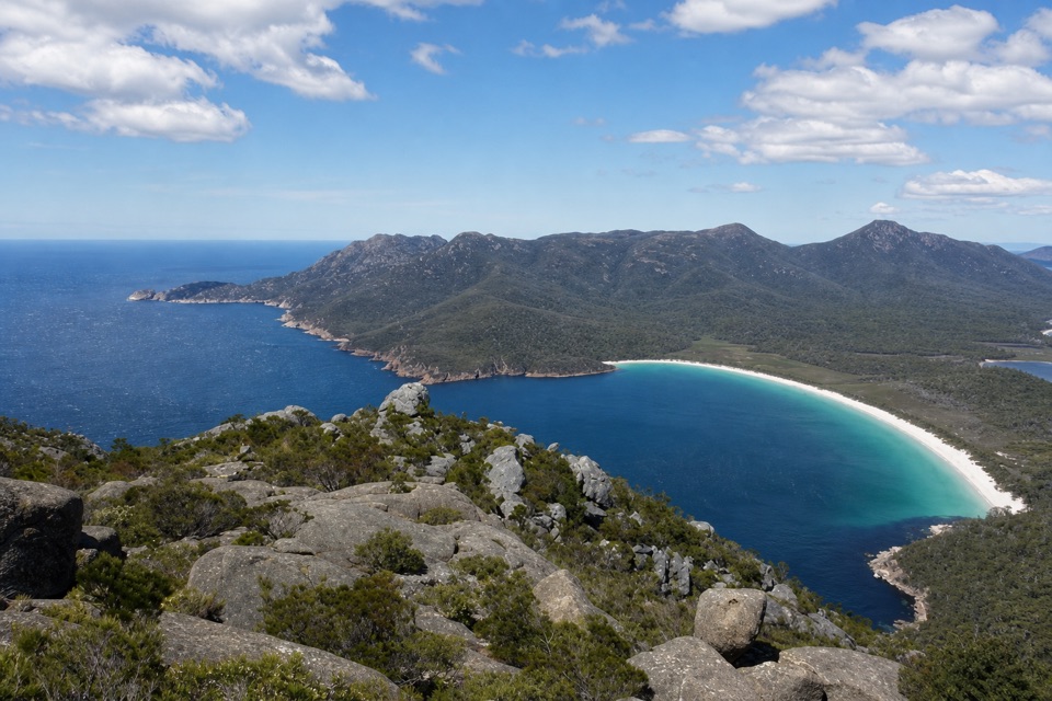 Sight · 10.3 km awayMount GrahamA long climb opens from Wineglass Bay to Freycinet's wild south.
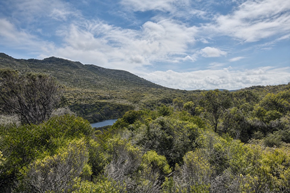 Campground · 12.1 km awayHazards Beach CampsiteA remote stop after the long Hazards Beach crossing.
Parkwolf’s Freycinet ranking

The audio tour guide for the drive, plus offline maps, trails, and wildlife heatmaps for when the signal drops.