Overview
About Moreys Bay
Why stop
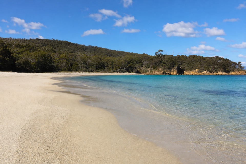
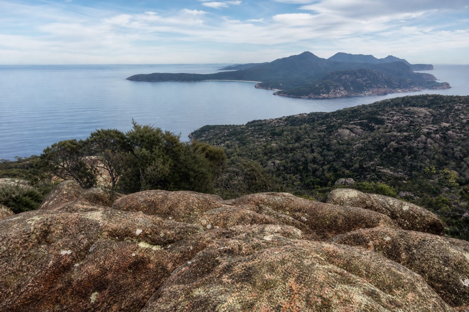
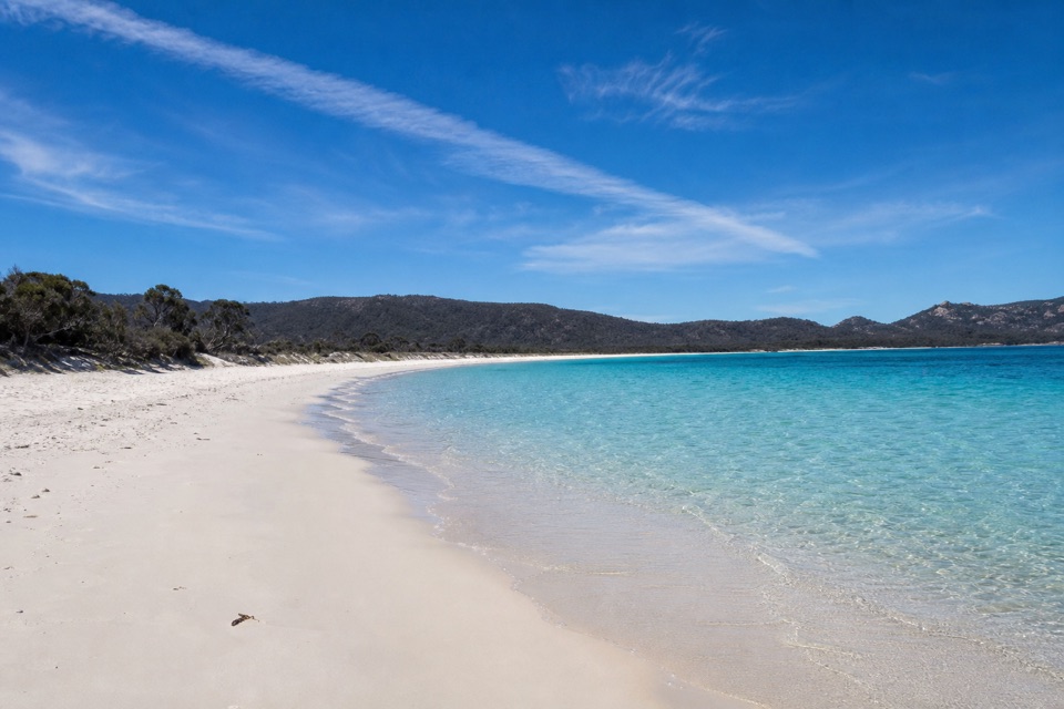
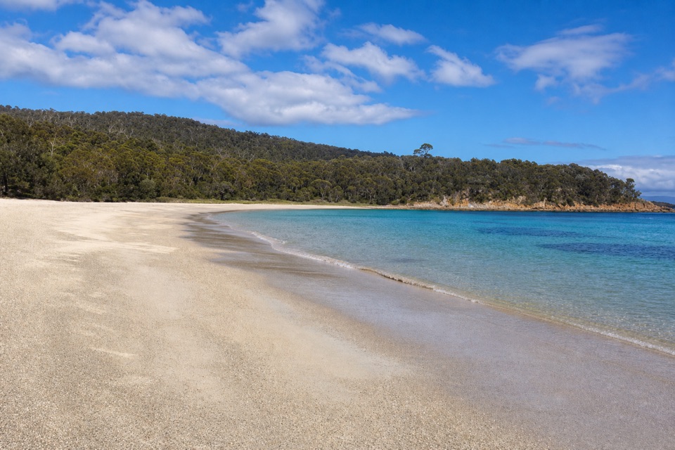
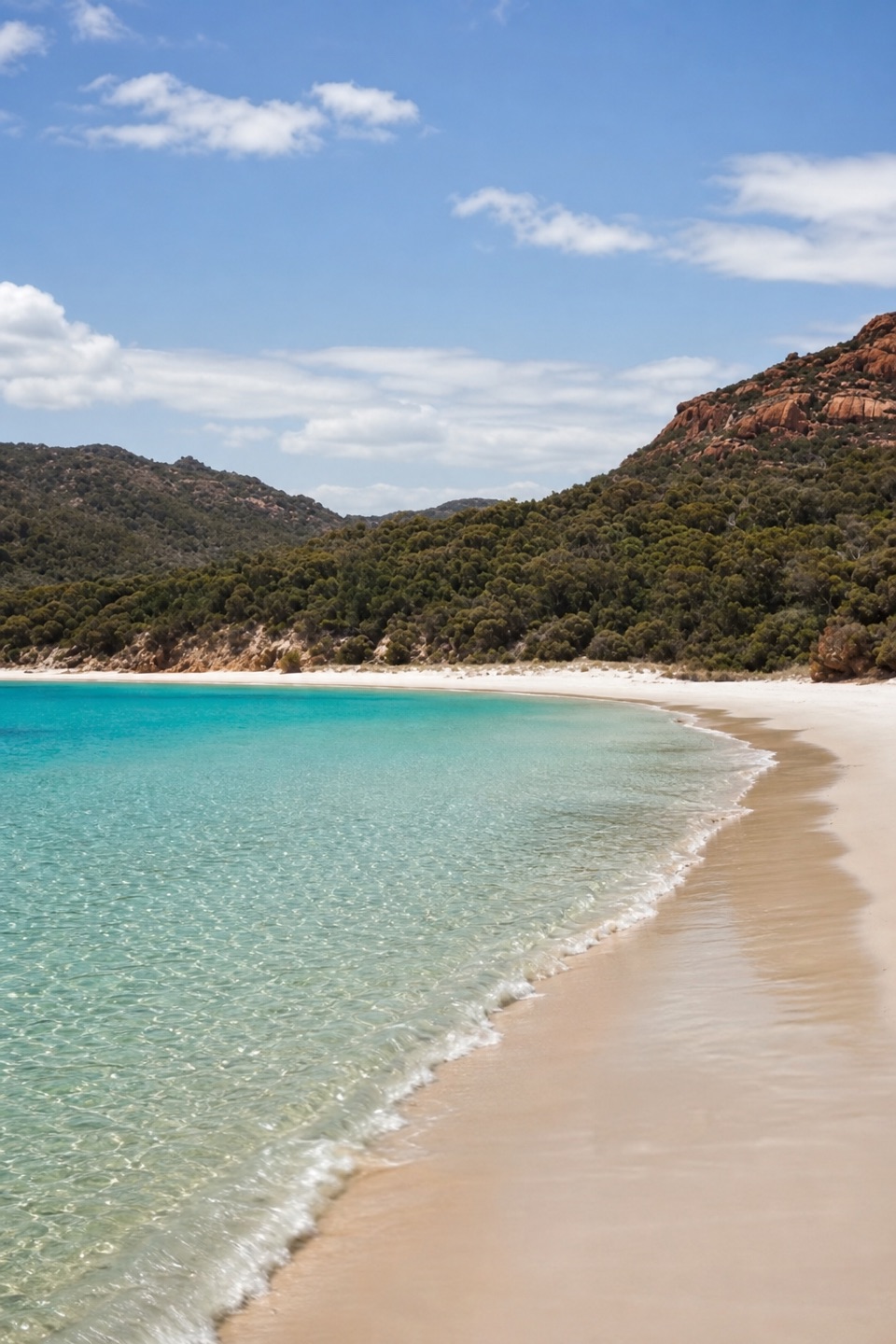
- Sandy shore, clear shallows and granite hills in one stop.
Heads up
- Water access and exposed crossings make arrival weather-dependent.
Map
Where it is

The highest, rockiest slopes around here are a summer buffet for grizzly bears.
Freycinet Tour Guide
Your drive to Moreys Bay, narrated.
Parkwolf is a GPS audio tour guide for Freycinet National Park. As you drive, it chimes in with what’s ahead: hidden gems, upcoming stops, history, geology, and wildlife, right through your car’s speakers.
- 24 audio storiesacross Freycinet’s roads, triggered by GPS as you drive
- Wildlife heatmapsfor Wombat, Echidna, Red-necked Wallaby, and 13 more
- Works offlinemaps, 21 trails, 29 places, and audio download before you lose signal
- CarPlay readysimple controls built for the drive
“Fantastic app with many points of information… It’s great to just turn on while you’re driving and it gives you an audio tour of the national Park. We love it!!!!”


Guide
More about Moreys Bay
A remote beach landingMoreys Bay is a small sandy beach and landing on Schouten Island, within Freycinet National…
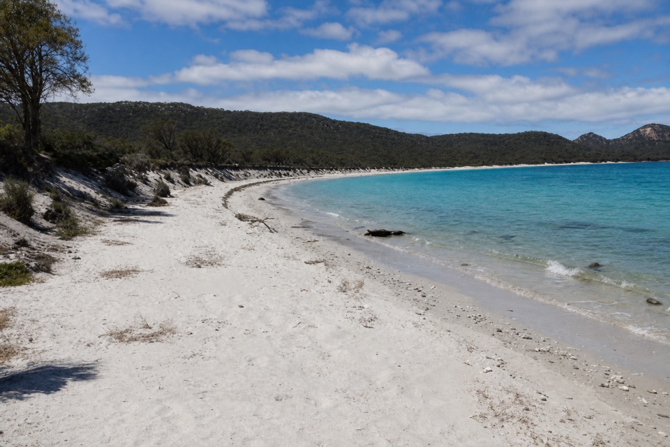
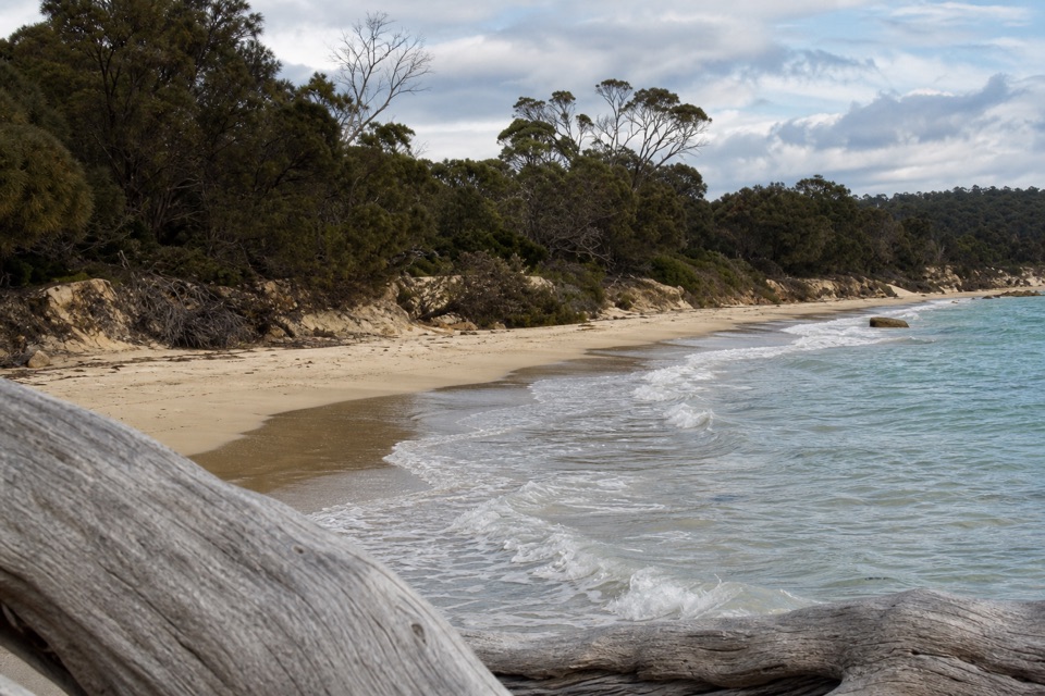
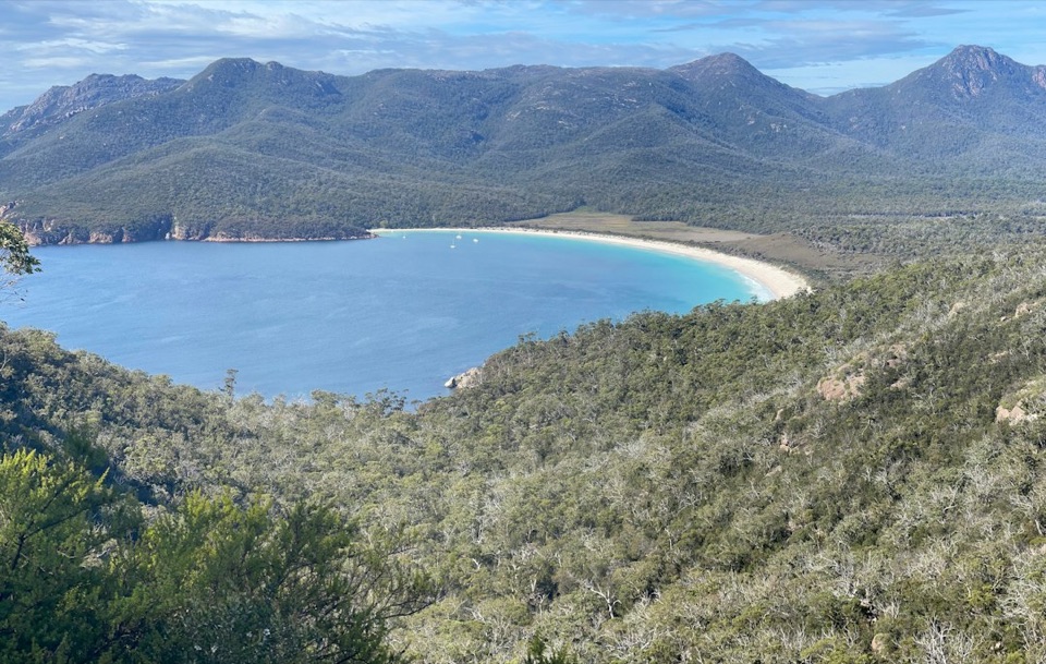
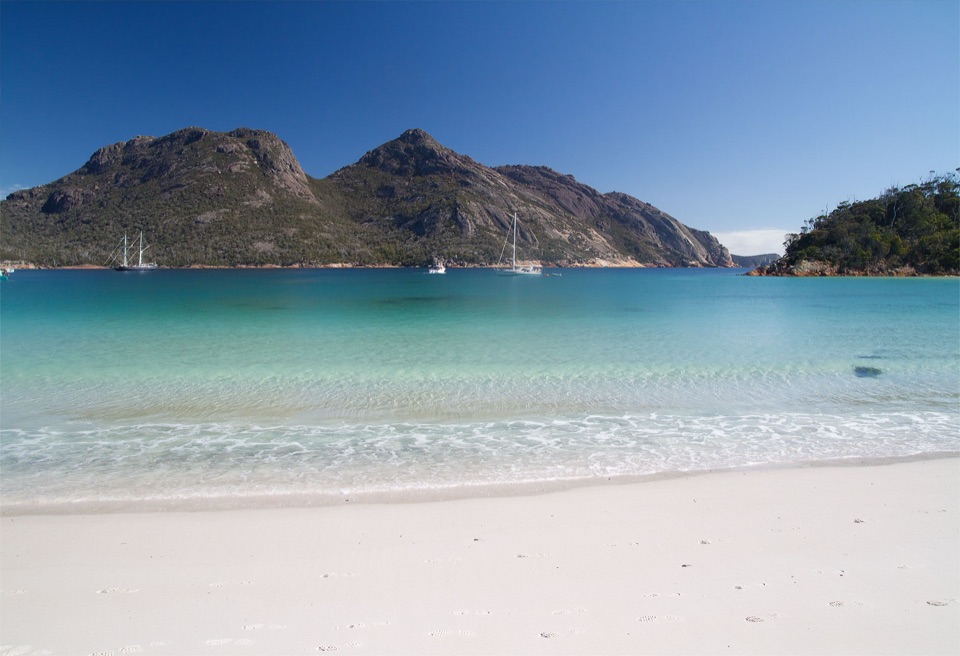
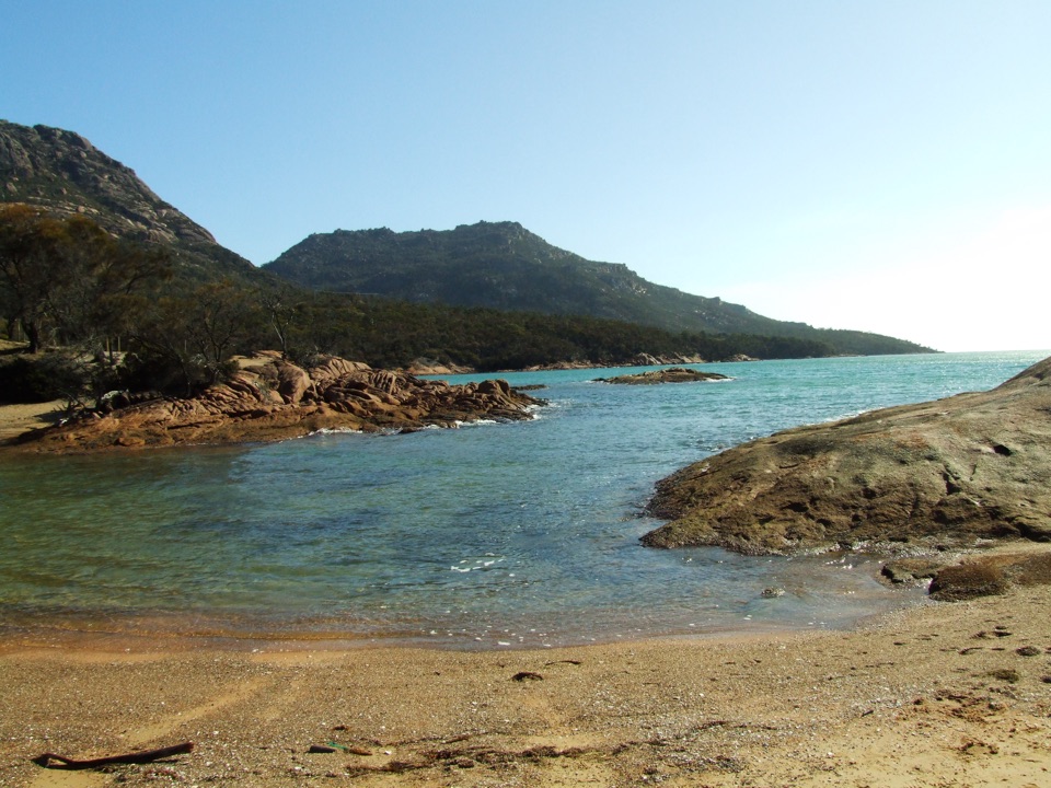
Moreys Bay is a small sandy beach and landing on Schouten Island, within Freycinet National Park. Clear blue-green shallows sit beneath low scrub and rocky granite slopes. This is a good stop if you’re already on the water and want a sheltered shore; it isn’t a road-side pull-off. Plan to arrive by boat or sea kayak.
Plan the crossing and landingGetting here means planning around sea and tide.
Getting here means planning around sea and tide. One reported landing followed a wind-exposed crossing, and an unusually high tide reached the beach and part of its access track. Leave boats and gear above the waterline. There’s no confirmed food or potable-water supply, so treat the bay as self-supported. A backcountry tent-camping area sits beside it; check current Parks & Wildlife access requirements and facilities before planning an overnight.
The huts behind the beachThe Moreys and Cooks huts stand behind the shore and tie the bay to the island’s farming…
The Moreys and Cooks huts stand behind the shore and tie the bay to the island’s farming history. Family leases for sheep and vegetables ran from 1870 to 1960; the huts later served as a small museum and information point, as well as a campground-host base. Current public access inside the buildings isn’t confirmed, so don’t plan on an indoor stop.
Wildlife
Wildlife in Freycinet
 27 sightingsWombatMost seen around 7 PMSighting map
 35 sightingsEchidnaMost seen around 6 PMSighting map
 358 sightingsRed-necked WallabyMost seen around 6 PMSighting map
 17 sightingsPademelonMost seen around 7 PMSighting map
 27 sightingsWhite-bellied Sea-EagleMost seen around 5 PMSighting map
 50 sightingsKookaburraMost seen around 7 AMSighting map
Sighting maps show where each species has been reported across Freycinet. Wildlife moves, so no sighting is guaranteed.